Pete's Walks - Amersham Old Town and Chalfont St Peter (page 3 of 3)
If you are considering walking this route yourself, please see my disclaimer. You may also like to see these notes about the maps and GPX files.
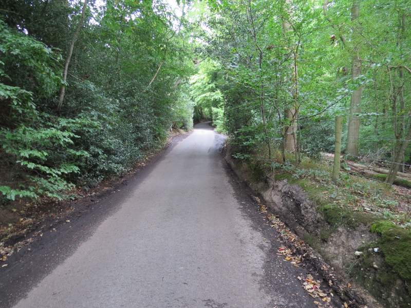
I went straight on across Copse Lane, the next section of Seer Green Lane being by far the steepest part of this walk. It was soon over, the lane levelling off and continuing through the centre of Jordans, passing the large village green on my left. When Seer Green Lane ended at a T-Junction, I crossed over and turned right behind a tall hedge, a path now running behind the hedge a short distance before returning to the road. A little further on I could see Mayflower Barn to my left (reputed to contain timbers from The Mayflower, the ship that took the 'Pilgrim Fathers' to America. A few yards further on, another path started parallel to the road, soon going left. I then turned right through a gate and walked through a Quaker burial site to reach Jordans meeting house, one of the oldest in the country. In front of it I saw the gravees of William Penn, founder of Pennsylvania, and his family.
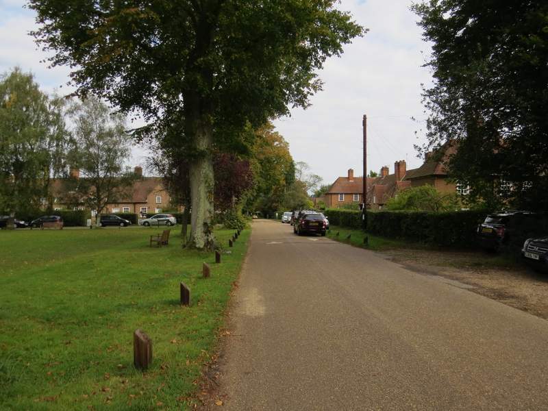
Seer Green Lane passing the village green in Jordans
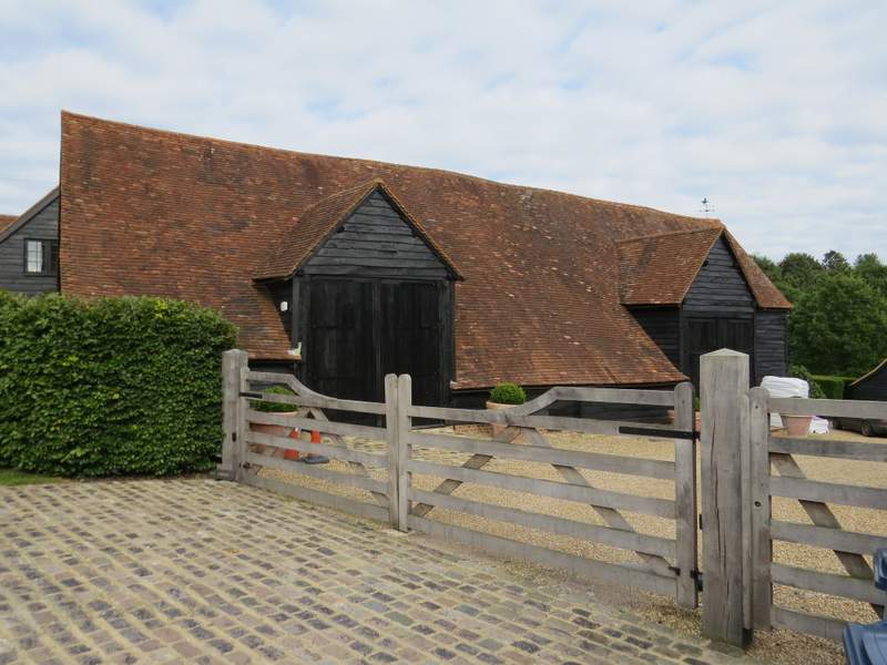
Mayflower Barn, Jordans
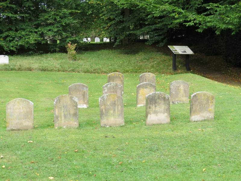
Graves of William Penn and his family, at the Quaker meeting house, Jordans
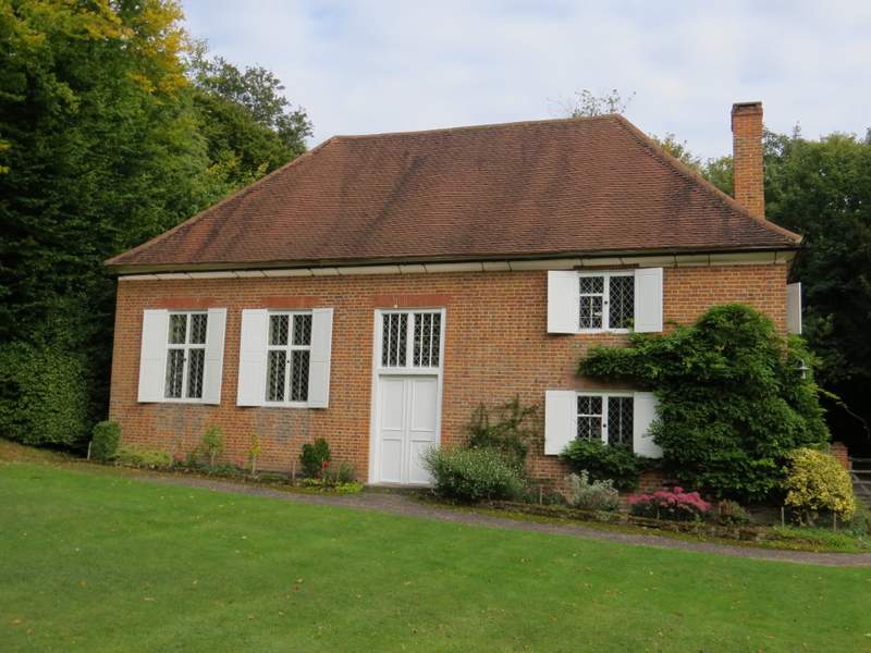
The Quaker meeting house, Jordans
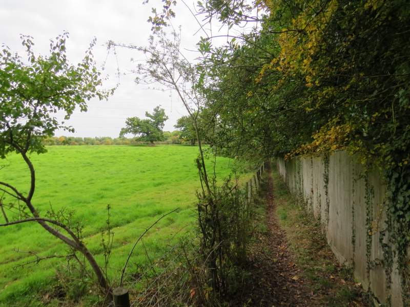
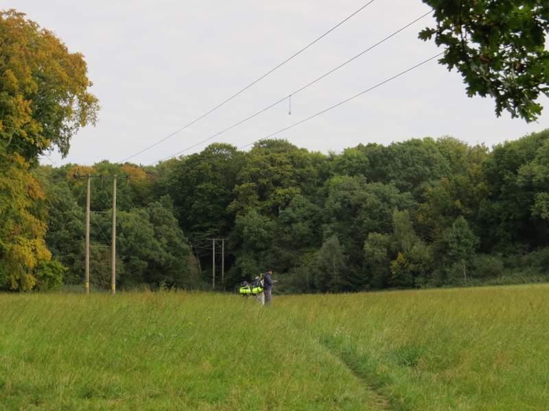
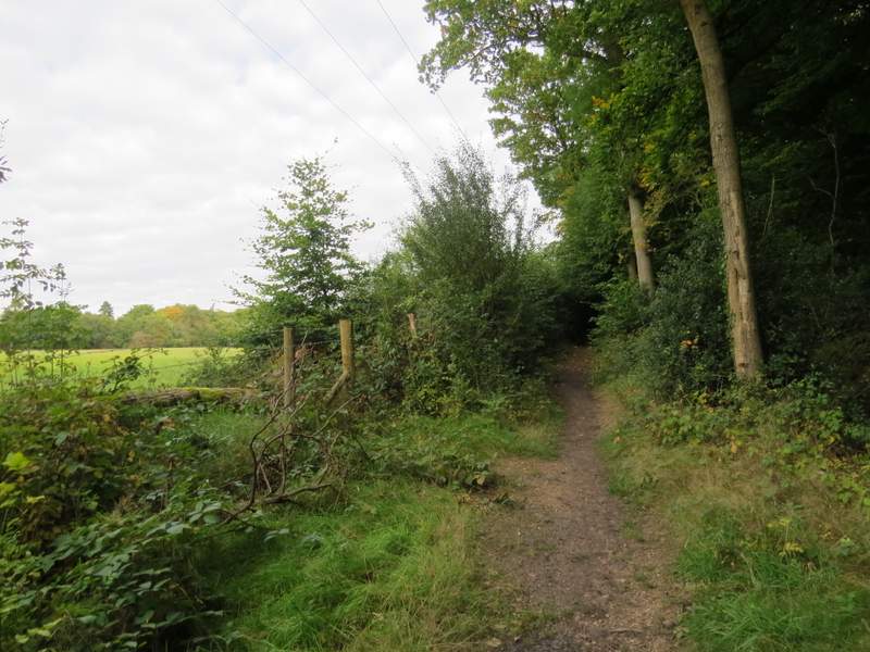
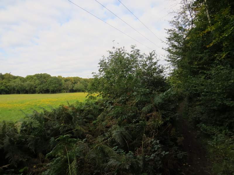
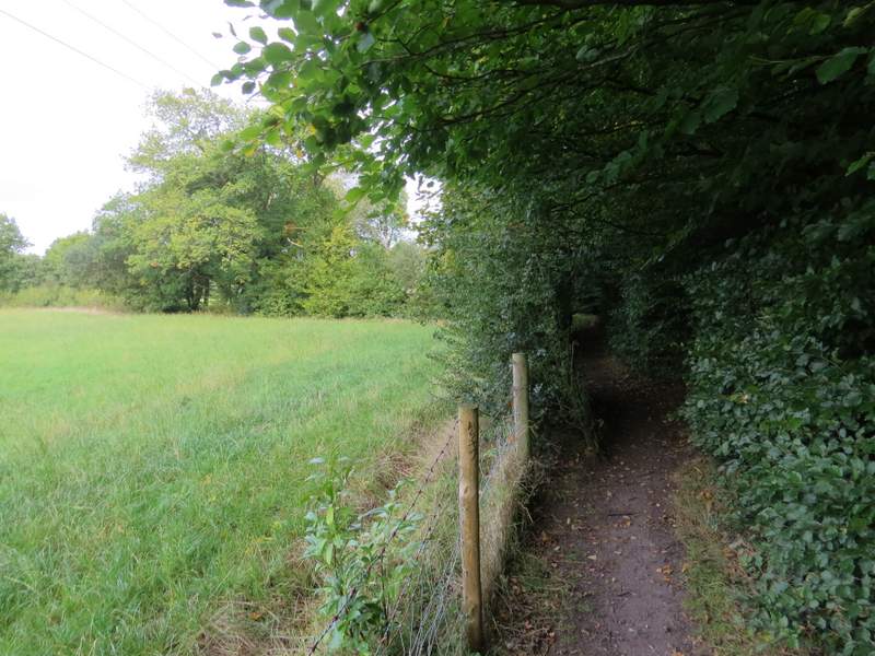
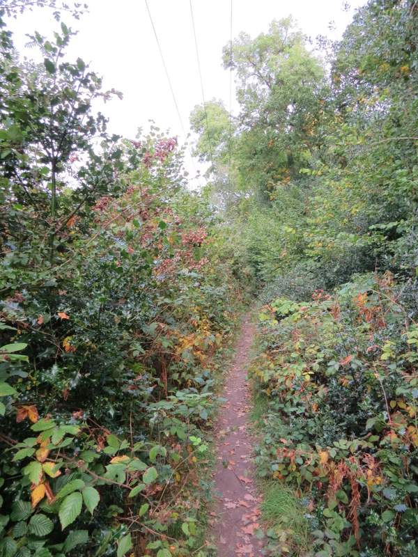
On the far side of the Quaker meeting house, I went through a tall narrow gate, and turned left along Welders Lane. I followed this until immediately after a property on the right, when I turned right along a footpath. This ran dead straight for several hundred yards between fences, soon with green fields to my left. After then going through a small area of bushes, the path went half-left across a large meadow.
Welders Lane
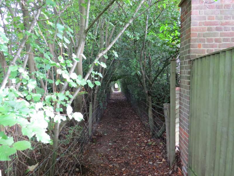
The path from Welders Lane
The path from Welders Lane)
The path from Welders Lane
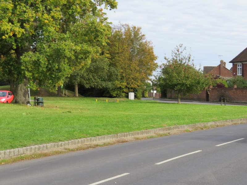
Through a metal kissing-gate on the far side I turned left (east) at a path T-junction, following the new path for some distance just inside the edge of a wood. The path eventually brought me to a road on the edge of Chalfont St Peter, where I crossed the road and a small green and continued down Nicol Road. It was about half a mile to the far end of this road, where I turned left along Market Place to reach a junction with Church Lane, which was as far as I was going today.
The path going eastwards to Chalfont St Peter
The path going eastwards to Chalfont St Peter
The path going eastwards to Chalfont St Peter
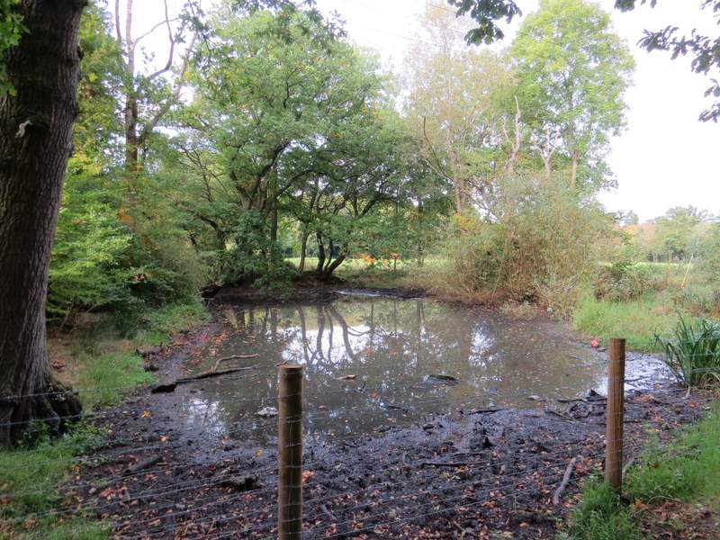
Pond beside the path going eastwards to Chalfont St Peter
TThe path going eastwards to Chalfont St Peter
The edge of Chalfont St Peter
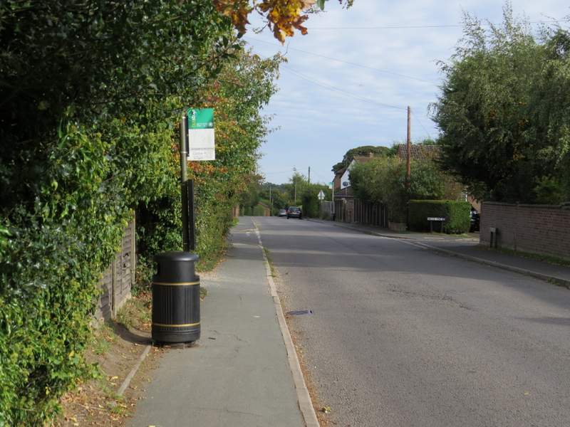
Nicol Road
Nicol Road
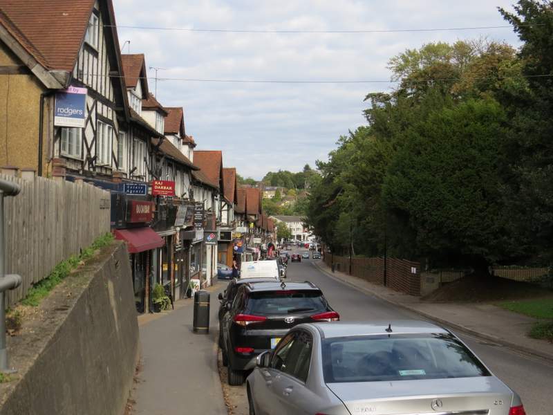
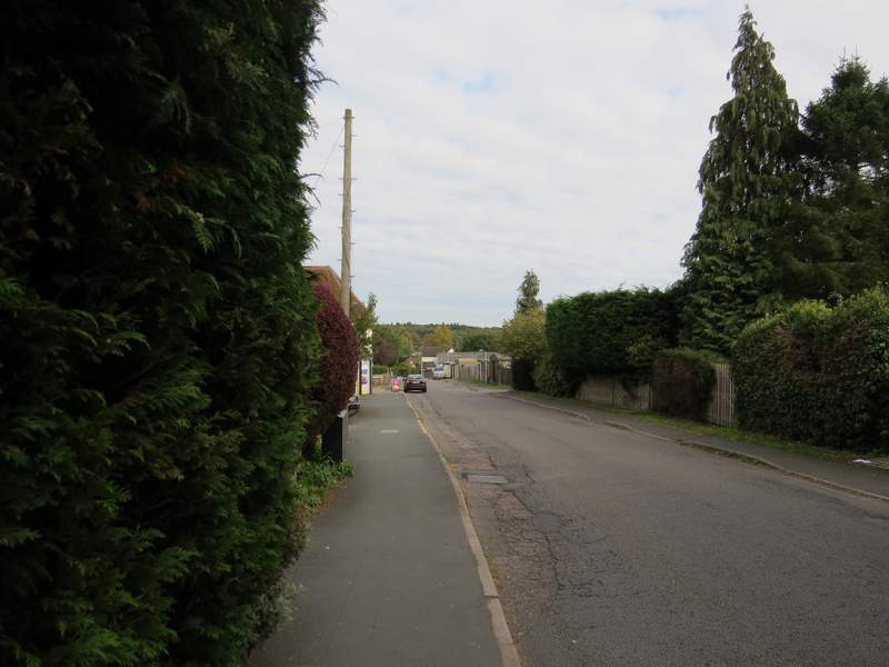
The road in the centre of Chalfont St Peter
This was an interesting walk for me, as (until earlier today!) I'd not walked the section between Hodgemoor Woods and Chalfont St Peter since 2006, apart from a small bit through Jordans. I'd done the section along the Misbourne Valley and through Hodgemoor Woods several times since then, but I still enjoyed it today. It was brighter this afternoon than in the morning (when I walked the route in the opposite direction), but even so it was often quite grey and I didn't see any of the views at their best. Not that there were too many good views anyway, as it was a fairly flat route.