Pete's Walks - Wigginton and Drayton Wood (page 3 of 3)
If you are considering walking this route yourself, please see my disclaimer. You may also like to see these notes about the maps and GPX files.
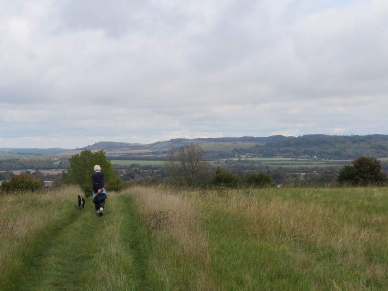
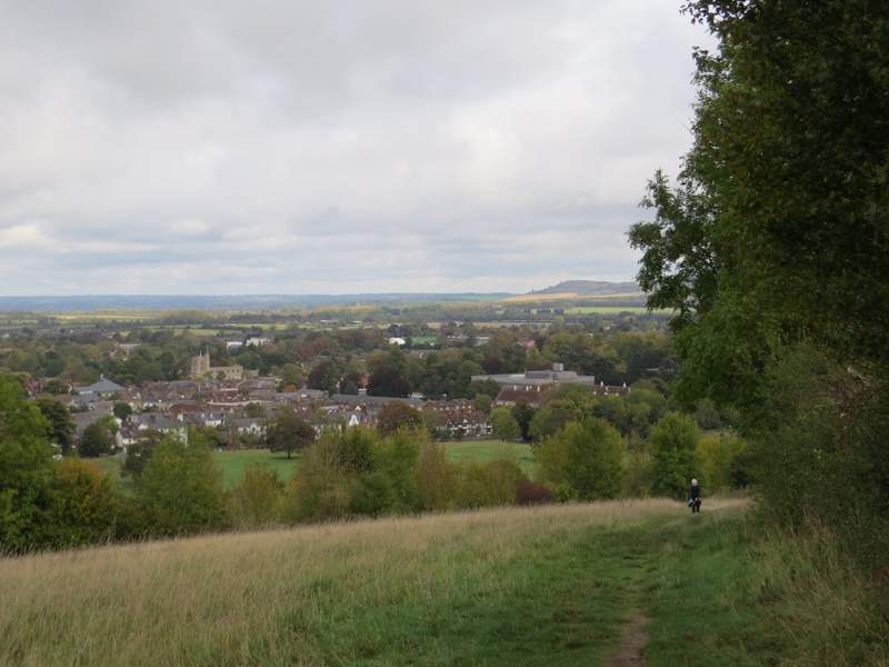
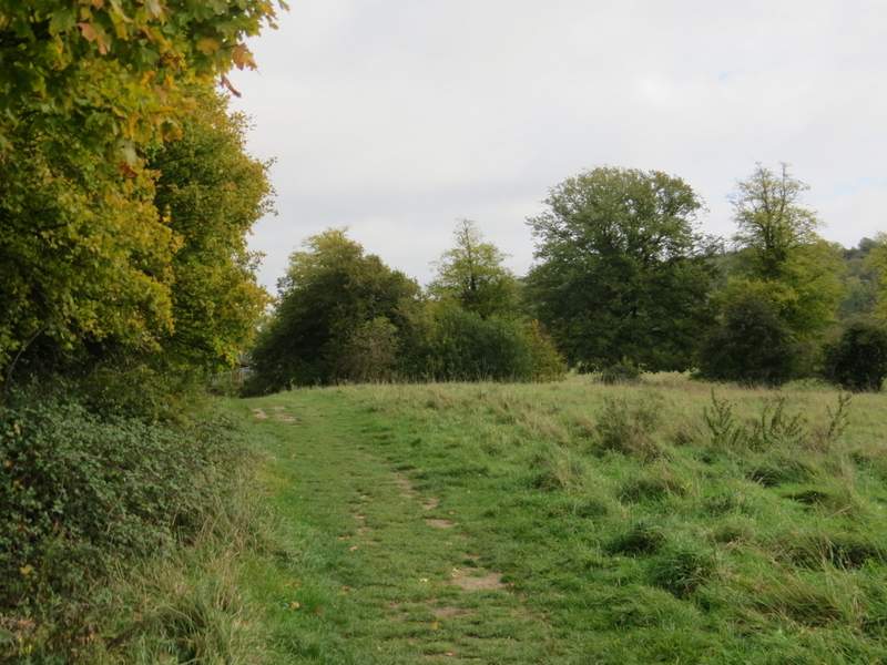
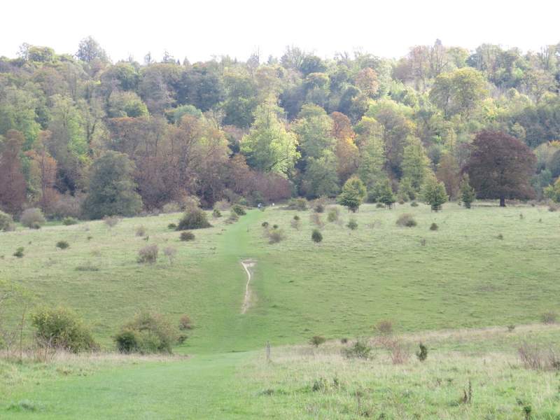
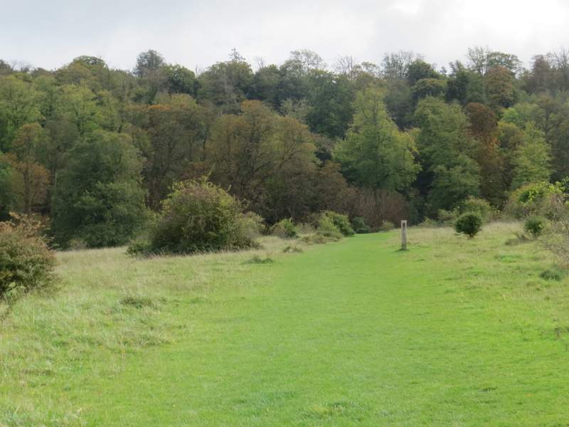
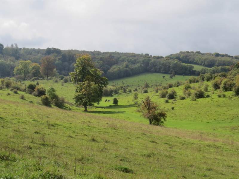
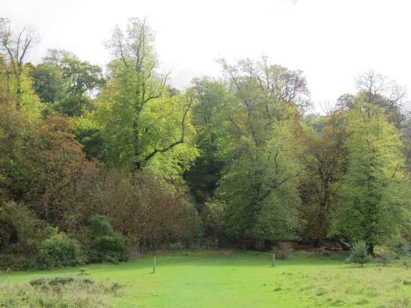
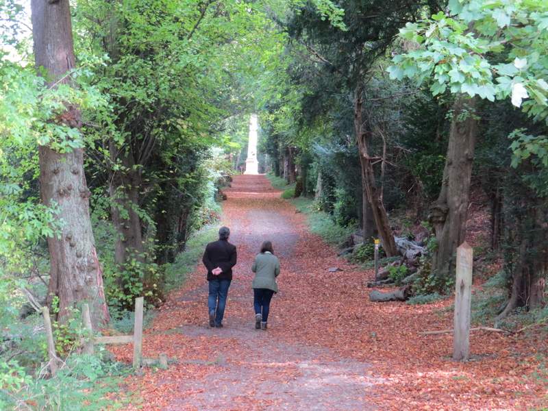
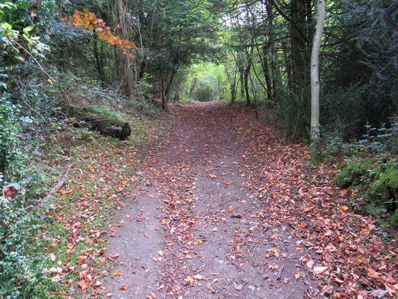
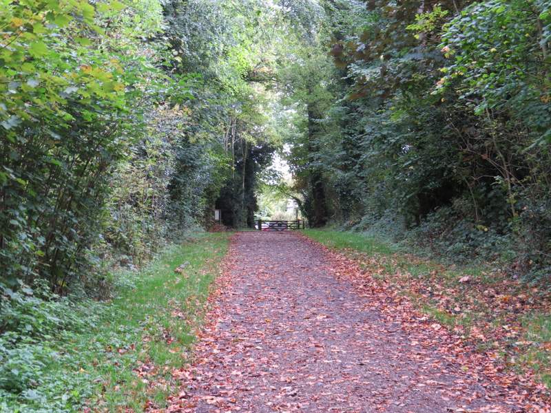
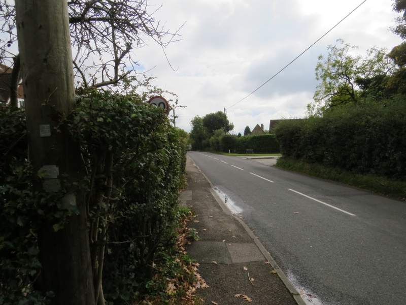
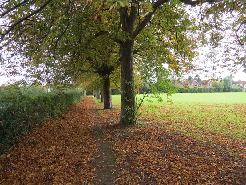
A liitle further on I turned right at a path junction, this new path leaving Stubbing's Wood after a few yards and turning left to follow the edge of the wood. This next section was the best part of the walk, as there was a fine view ahead over Tring towards Ivinghoe Beacon. Beyond the wood, the path continued along a headland between fields, and then gradually dropped down hill beside an intermittent hedge on my right, still with the extensive view ahead. Towards the bottom of the slope I came to a path junction where I went right, the path now running close to the A41, over the hedgrow on my left. After a while the path reached Hastoe Lane. Across this, it continued through a meadow, still close to the A41, to reach a gate leading into Tring Park.
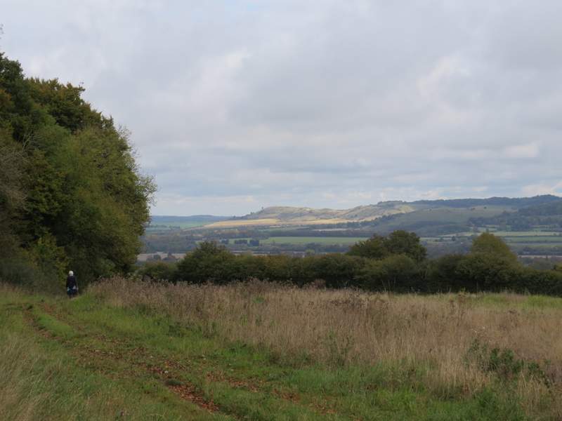
The path beside Stubbing's Wood (Ivinghoe Beacon in the distance)
The same path continuing towards Tring
The same path continuing towards Tring
The path continuing beside the A41
The path continuing towards Tring Park, after crossing Hastoe Lane
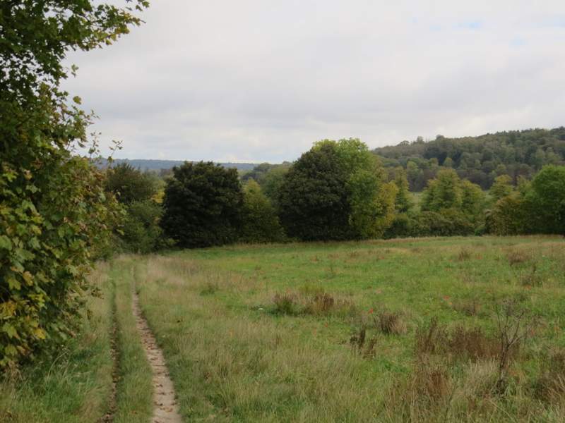
Within a few yards I reached a notice board on my right. Immediately after this two paths forked half-right at the same place, I took the left-most one, aiming for a white strip of chalk I could see where the path rose up a short steep dip ahead of me. It was very pleasant walking through the park, but I misssed seeing the butterflies that are here when I usually do this walk in the summer months. The path was heading for a wooded slope, and when it reached the foot of the slope it went through a gate and turned half-left to rise uphill towards a tall obelisk. Several paths radiated from the obelisk, I took the second one to my right (i.e. not the omne immediately on my right, but the next one), which rose more steeply through the trees and bushes. At the top of the slope I turned left to leave the park at a gate and reach Fox Road on the edge of Wigginton.
The path across Tring Park after I turned half-right
The path across Tring Park
Tring Park
The path across Tring Park
The path continuing up to the Obelisk
The path going uphill from the Obelisk
The path out of Tring Park to Wigginton
I turned right along the road and followed it until it turned left, when I crossed over to a gate, and turned left behind a hedge with a park on my right. I stayed with the path as it turned right in the next corner of the park. When the path took me out of the park, I continued down a short street. At its end, I croseed another street and went straight on down a path that took me into the playing field where I'd parked at the start of the walk.
Fox Road, Wigginton
The small park in Wigginton
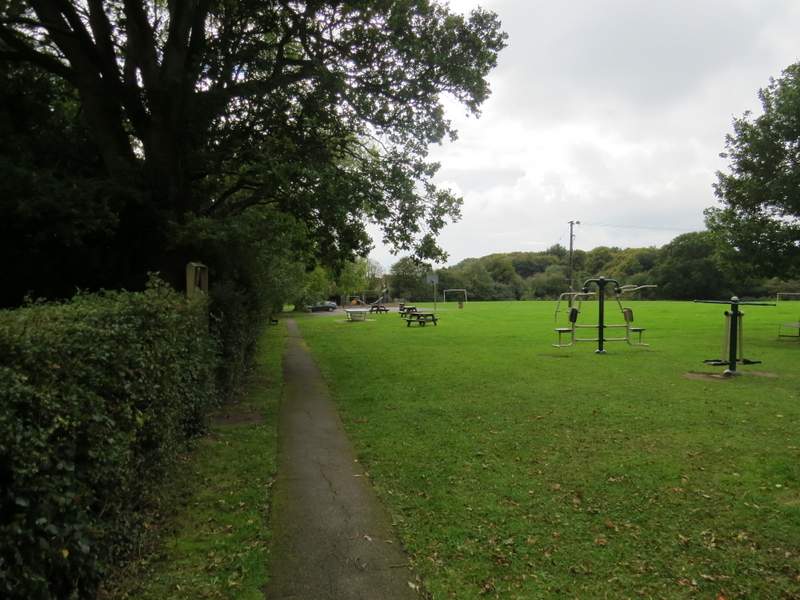
The playing field in Wigginton, where I'd parked
I always enjoy this walk, it's straightforward and unchallenging with only one uphill (right at the end). It was exactly what I needed today, something that didn't take much more than two hours and not too far a drive from my home. I'm still not tempted to walk it in the other direction though, as I'd lose the best views (descending from Stubbings Wood towards Tring) without getting any in compensation (the steep downhill the other side of Tring Park is in trees).