Pete's Walks - Little Missenden and Amersham Old Town (page 1 of 3)
If you are considering walking this route yourself, please see my disclaimer. You may also like to see these notes about the maps and GPX files.
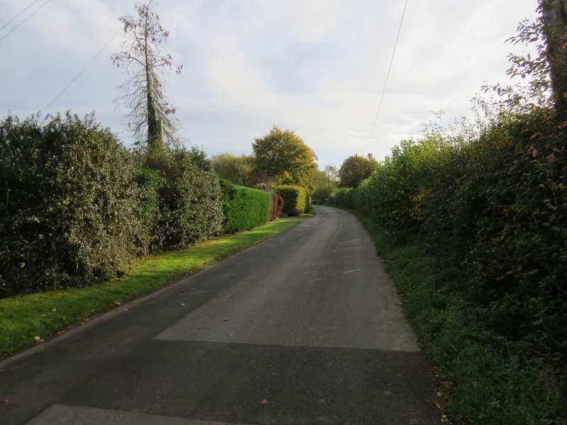
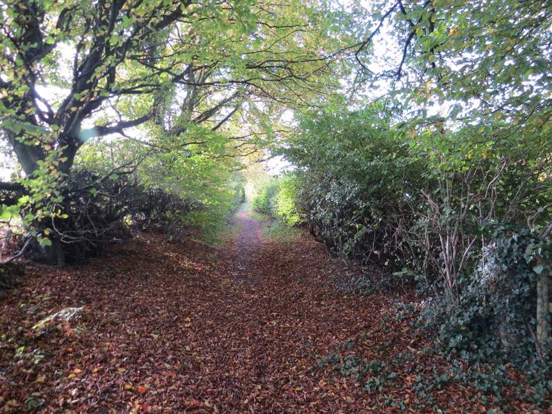
I did this walk of about 7 miles on Saturday, 28th October 2017, the fourth walk of the seven I will do on the Chiltern Heritage Trail (I'd tried to do this walk about a month ago, but had to abandon it because the rights of way going south from Little Missendedn were all closed because of work on overhead cables along a line of electricity pylons). On my previous walk along this long-distance path I had got as far as Old Amersham, but instead of walking from there to Little Missenden and back I chose to do the anti-clockwise part from Little Missenden to Old Amersham first - this saved me a bit of driving time and, more importantly, saved me having to pay for the car park in Old Amersham. It was just after 9.50am as I set off from Little Missenden church (grid reference SU 921989), following the road through the village past the Manor House and the Red Lion pub (both on the left). After a third of a mile or so, just before reaching the Crown pub, I turned right onto a bridleway named Toby's Lane (there was no 'road' sign, but there was a sign for Toby's Lane Farm, which I soon passed). The bridleway went uphill between hedges (I thought it was a very gentle uphill, but it seemed much steeper when I came back this way!). Where a footpath came in on the right there was a nice view down to the part of Little Missenden around the church. After a while I had a small wood on my right, and by the time I'd passed it the bridleway had levelled out.
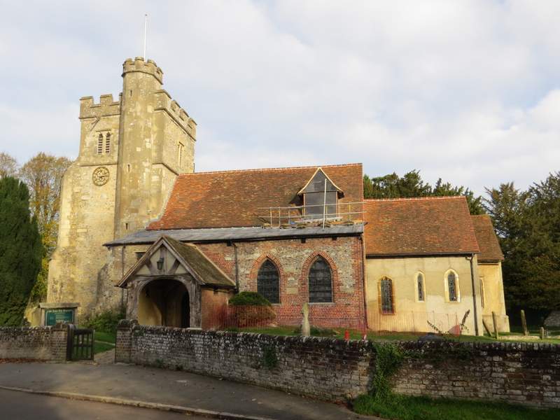
Little Missenden church
The lane through Little Missenden
The start of Toby's Lane
Toby's Lane
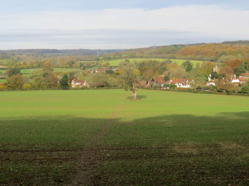
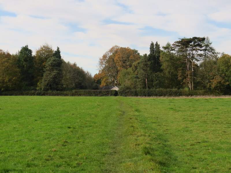
View back towards Little Missenden from Toby's Lane
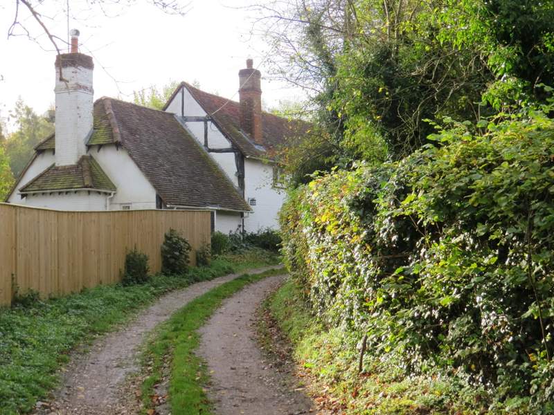
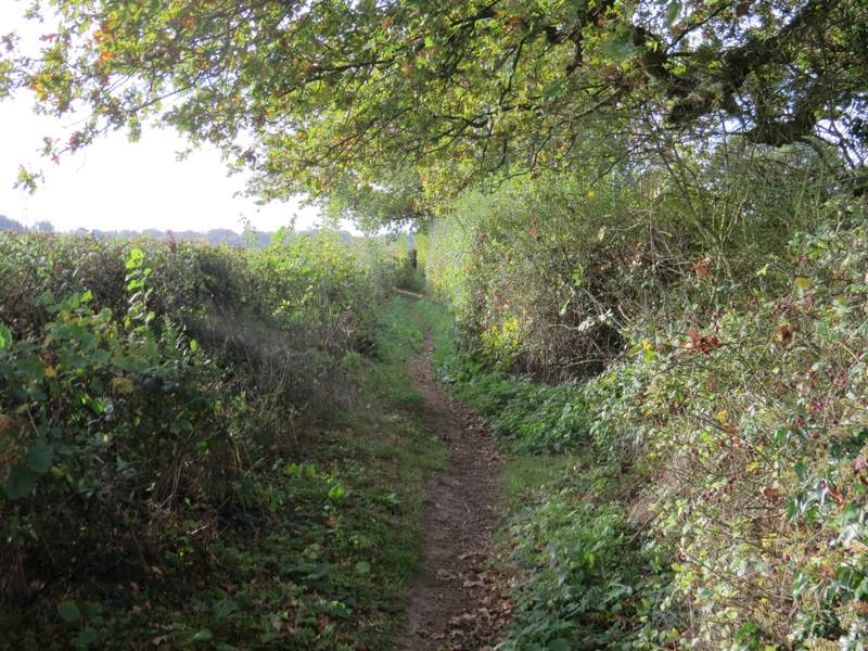
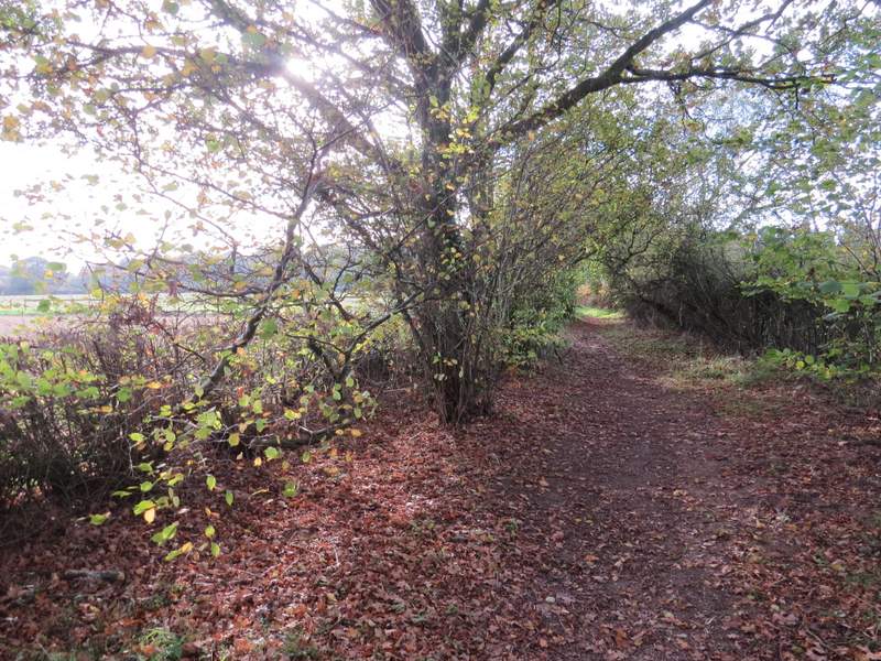
Toby's Lane then continued between hedgerows again. After some while, the hedge on the right ended and the bridleway continued along the left edge of an arable field. It then had hedges on both sides again. I went straight on where a path crossed the bridleway, but after another one or two hundred yards I came to another point where a path crossed the bridleway and here I turned right. The path crossed a field, then ran between garden boundaries for a hundred yards or so, before continuing down a private drive or road in the hamlet of Beamond End. At its end I turned left along Beamond End Lane. This soon ended at a bend in Sheepcote Dell Road, where I went more or less straight on and soon came to a junction with the A404 main road.
Toby's Lane
Toby's Lane

Toby's Lane
Toby's Lane
The path from Toby's Lane to Beamond End
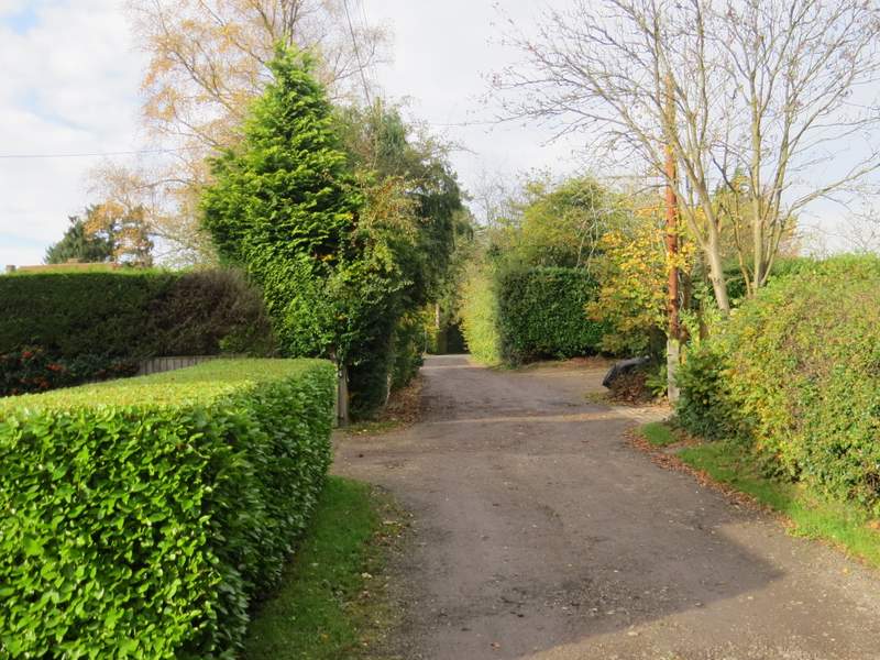
The private road in Beamond End
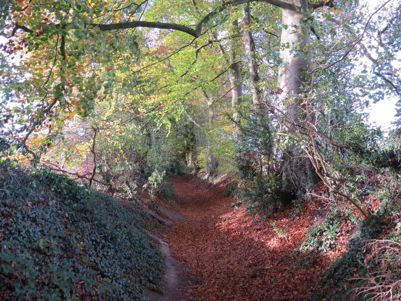
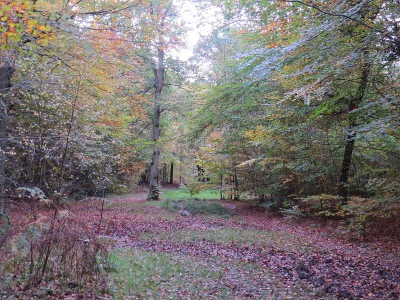
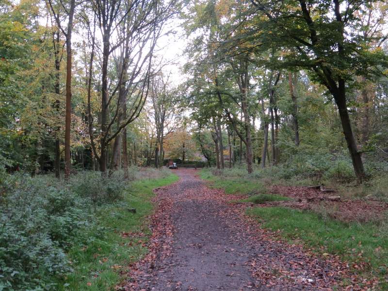
After carefully crossing the A404, I entered Penn Wood. I kept straight on through the wood, ignoring several paths going off to the left and right. The Autumn colours weren't quite at their best (and the trees had lost a lot of leaves due to Storm Brian the previous weekend), but this was still a very pleasant part of the walk. After about half a mile I reached the far side of Penn Wood, where I turned left into Penn Street.
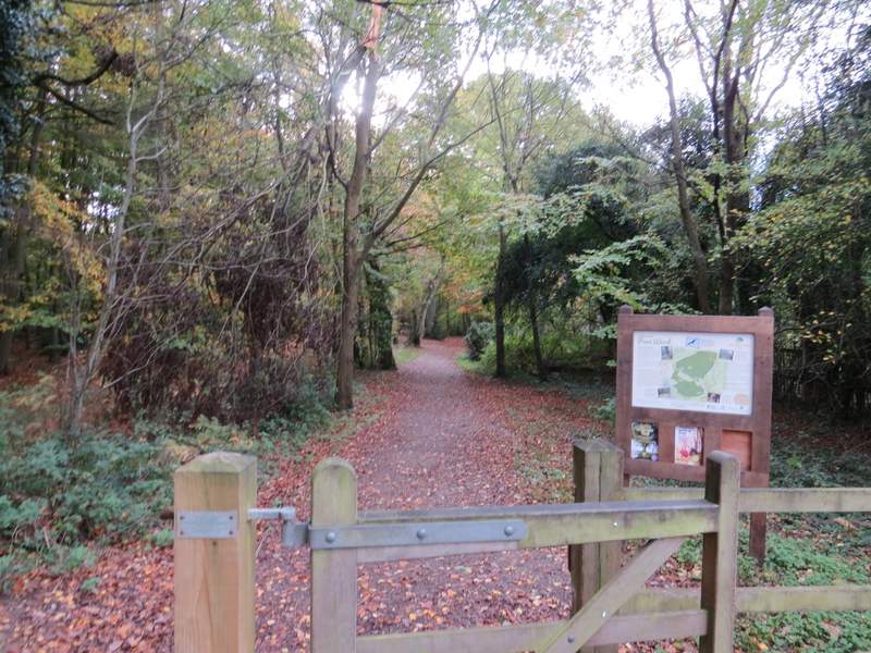
The entrance to Penn Wood
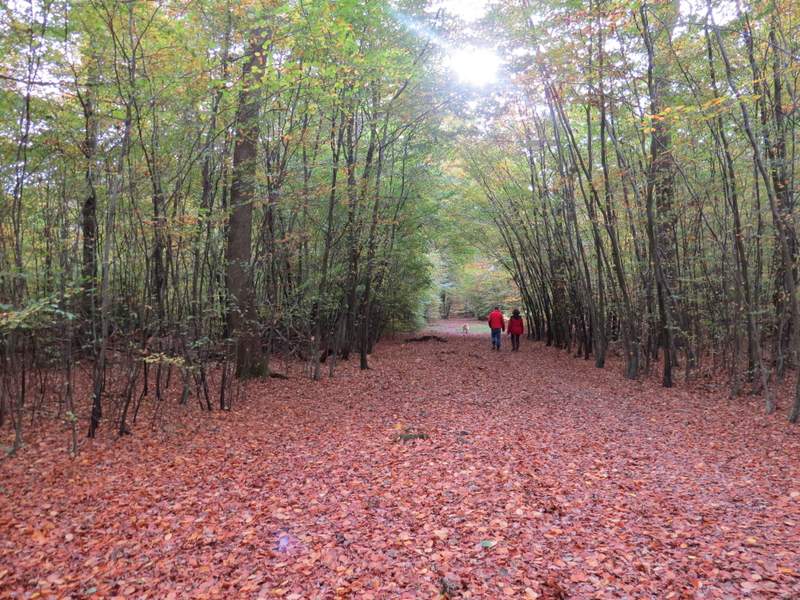
Penn Wood
Penn Wood
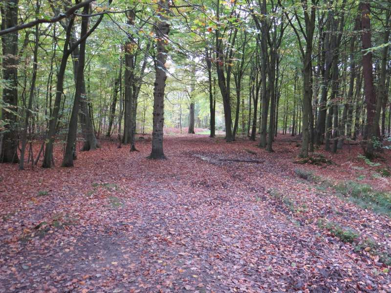
Penn Wood
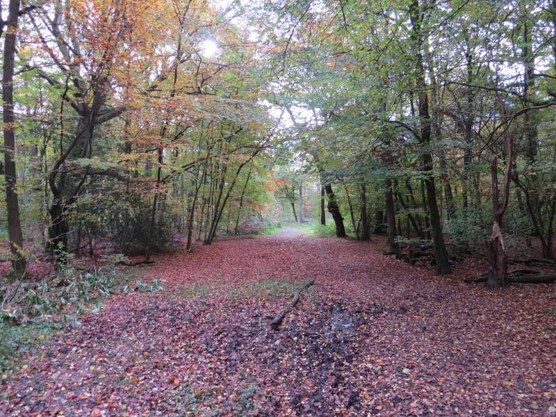
Penn Wood
Penn Wood