Pete's Walks - Pitstone Hill, Dagnall, Ashridge (page 2 of 5)
If you are considering walking this route yourself, please see my disclaimer. You may also like to see these notes about the maps and GPX files.
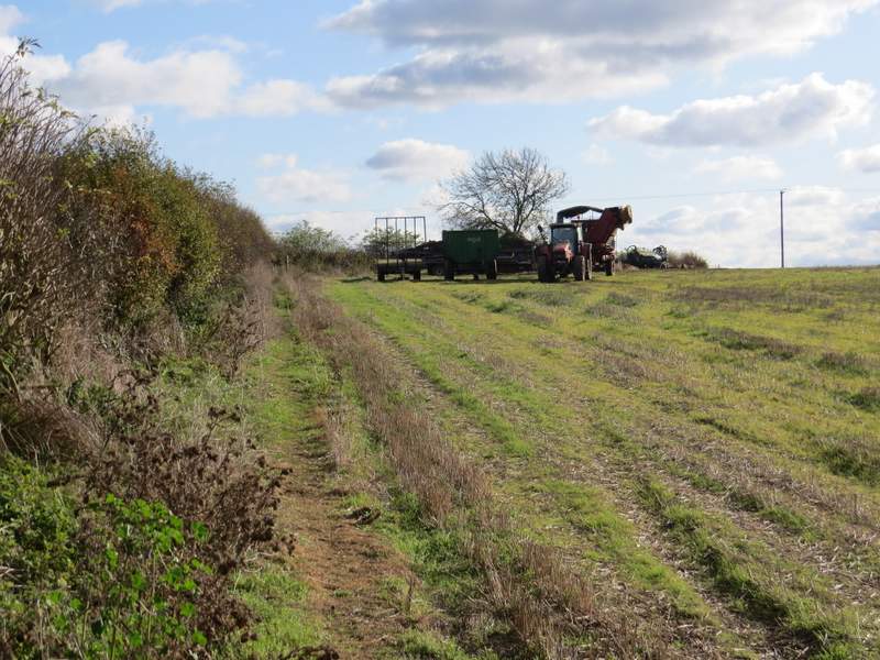
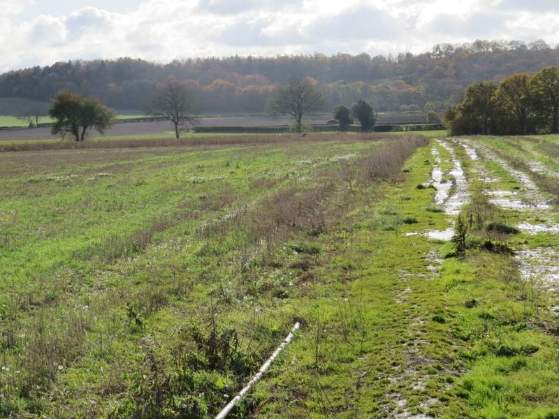
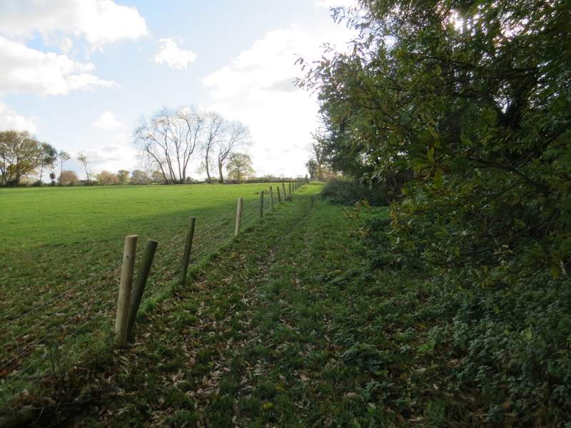
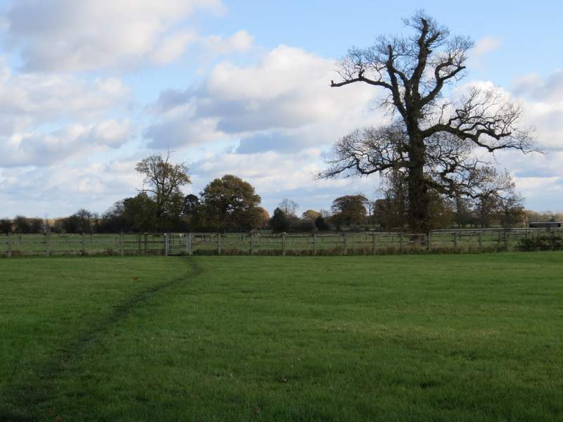
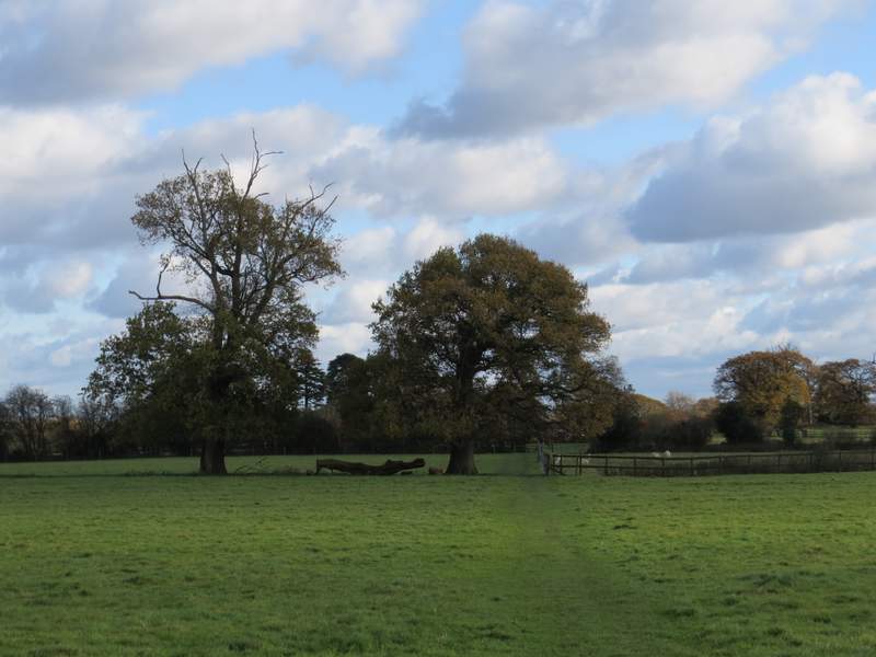
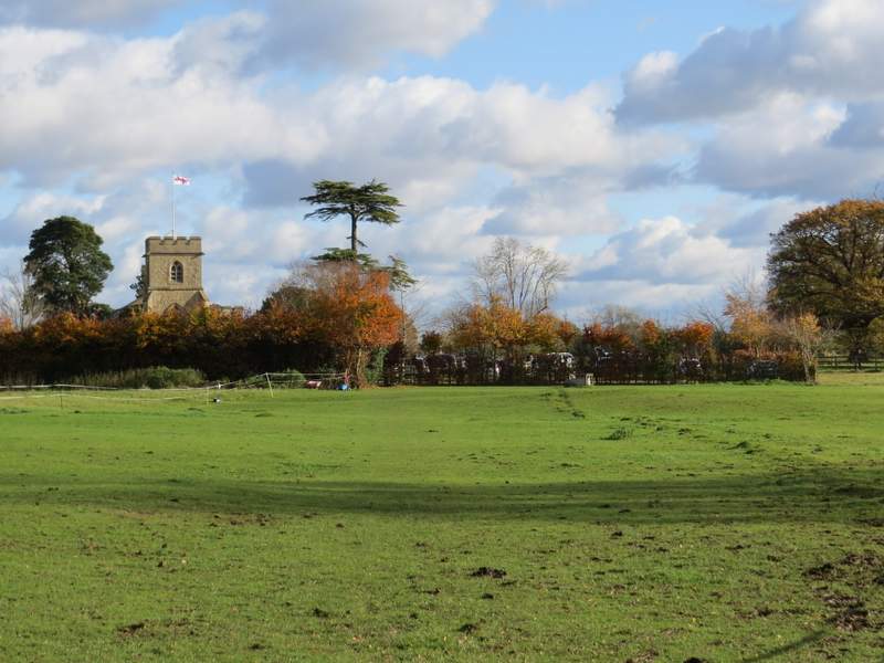
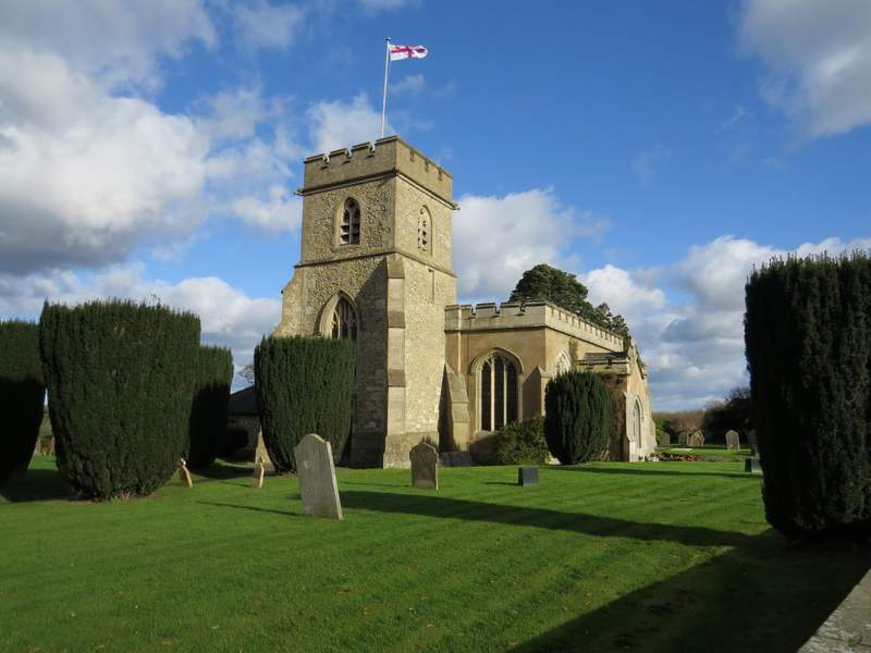
In the corner of the field, the bridleway turned half-right to run between a tall wire fence on my left and a hedge on my right. After a few hundred yards, the fence, bridleway and hedge all turned right, only to turn left after a hundred yards and then left again after another hundred yards or so. After a while they all went right, then turned left very quickly after, continuing for several hundred yards to eventually reach a road (this was a rather dull section of the route because the views were so restricted by the fence and hedge, and if I did the route again I would probably take a much more scenic route via Ward's Hurst Farm and Hog Hall). I turned right and followed the road (there was a reasonable verge on the right) about a third of a mile to reach the village of Dagnall. I continued straight on at a roundabout, passing the rather unusual village church on my right, then after another hundred yards or so took a footpath on the right.
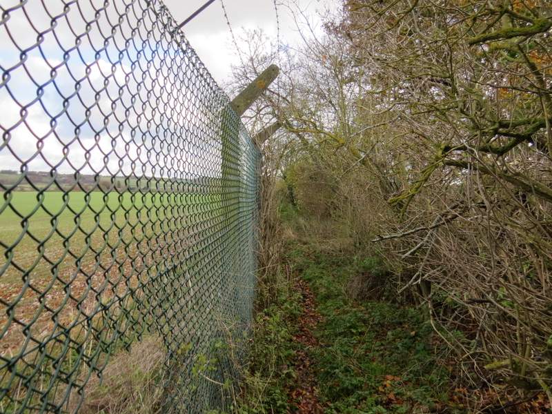
The bridleway continuing along the wire fence around the old transmitter site
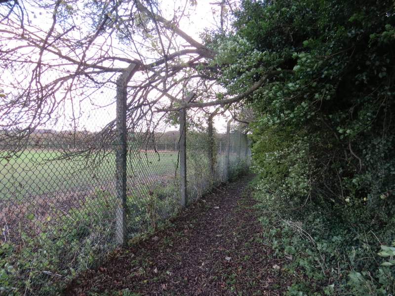
The bridleway continuing along the wire fence
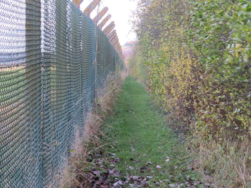
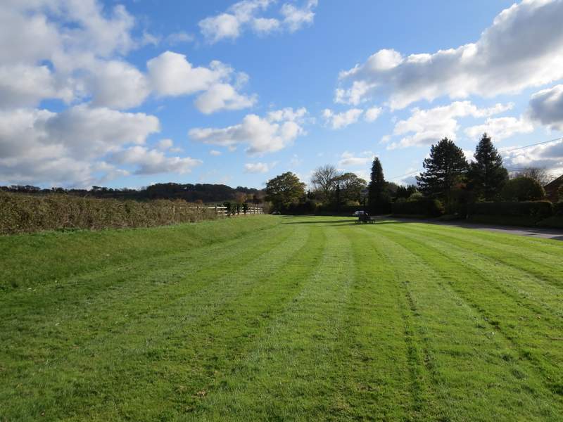
The bridleway continuing along the wire fence, now heading northeast towards the road
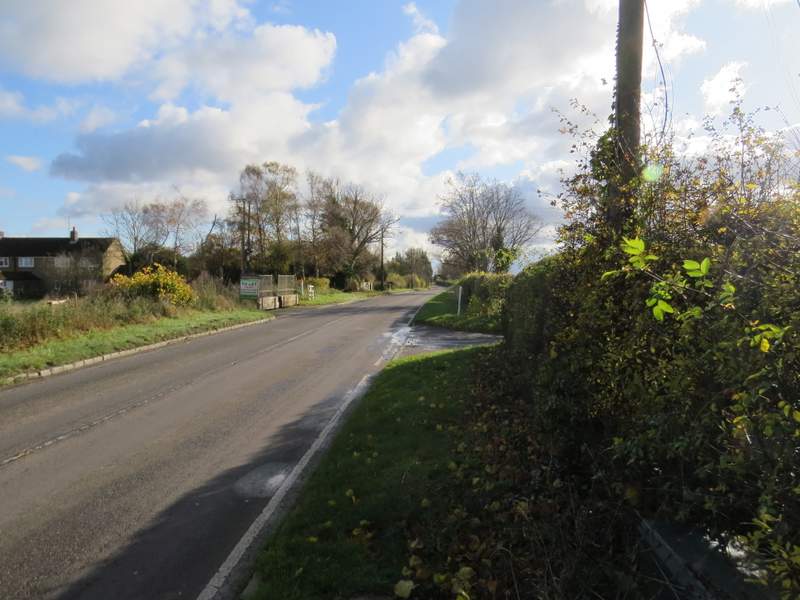
The road to Dagnall
Entering Dagnall
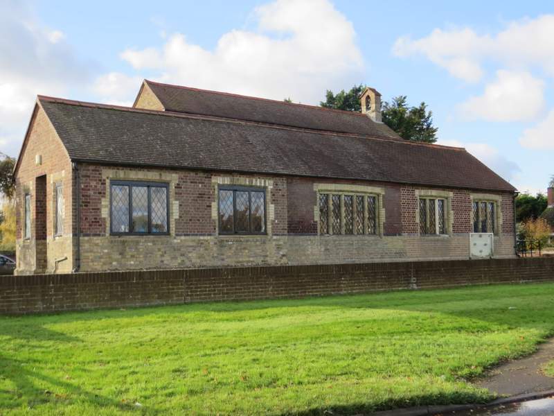
Dagnall church
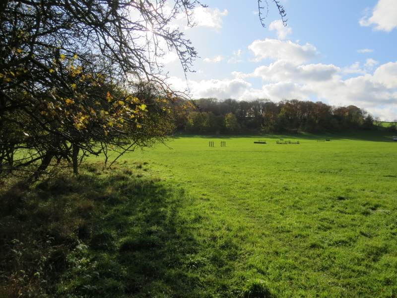
The path ran along the edge of a field, with a bungalow and then a farmyard to my left. It then turned left, passing another side of the farmyard and still with the same field on my right (this path has been officially diverted, it used to run through the garden of the bungalow and across the farmyard). The path then continued along a track between fields, merging with a bridleway at the end of the first field on my left. The bridleway was soon running beside a hedge on my right, and then turned right along the drive to Well Farm. In about a hundred yards the bridleway went left, again following a hedge on my right. When this hedge turned right, the bridleway continued straight on over a ploughed field. When I entered the next field, a huge meadow with a number of horse jumps in it, I looked to see if there were any deer in it, as I usually see some here. I failed to spot any, but as I got about halfway across the field I saw that there was actually quite a large group of Fallow Deer away to my right (where I usually see them!), I don't know how I missed seeing them when I first looked! The bridleway then continued uphill through a wood (Hoo Wood is the only name I can see on the OS map, but it's the other side of a boundary line so this part of the wood could be called something else), then ran between a fence and some garden fences with a huge pasture sloping down to my left. Through a gate, the bridleway finally turned right and ran about another hundred yards towards a gate, beyond which was the road through little Gaddesden.
The start of the path from Dagnall to Little Gaddeseden
The path from Dagnall to Little Gaddeseden
The path from Dagnall to Little Gaddeseden
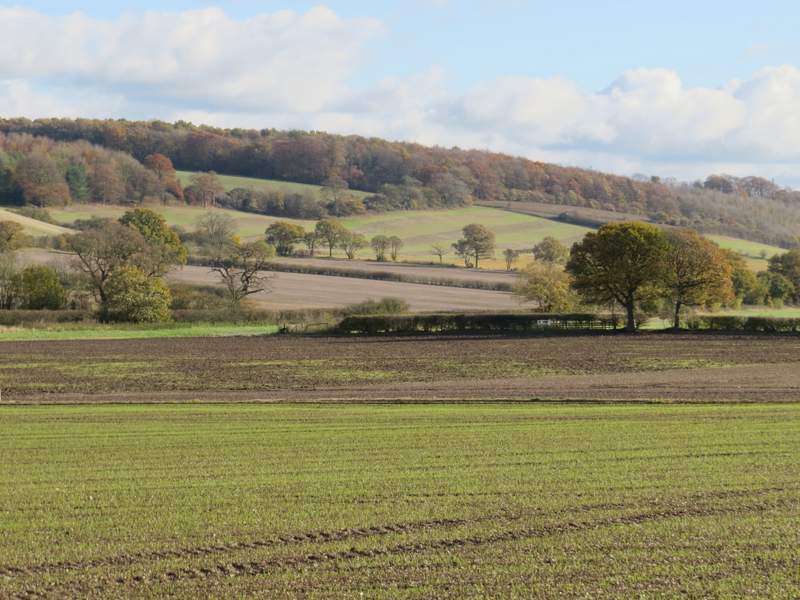
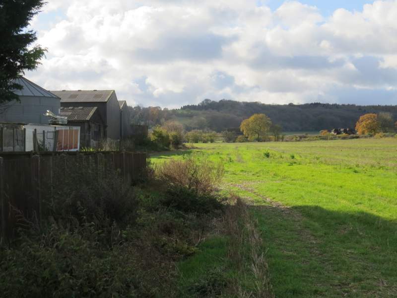
Looking left, across the valley (which becomes the Gade Valley)
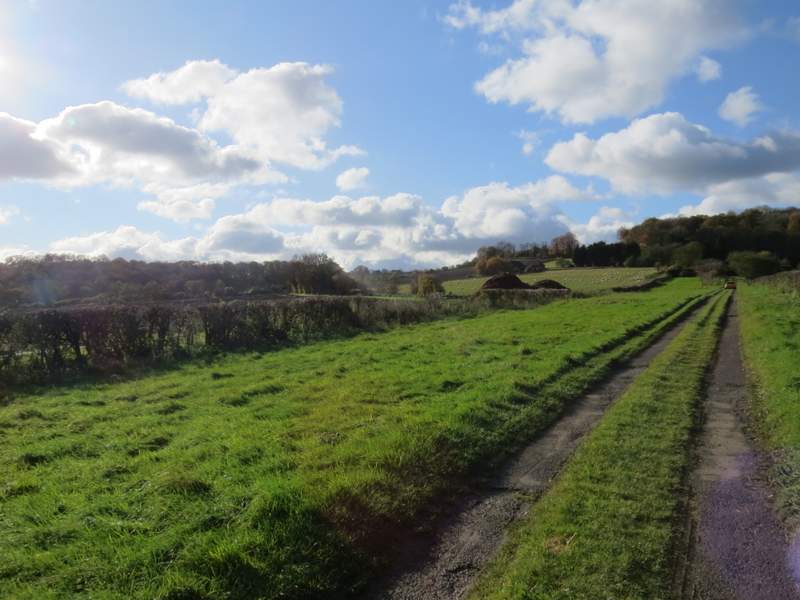
The bridleway to Little Gaddesden, on the drive to Well Farm
The bridleway to Little Gaddesden
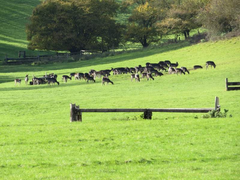
Fallow Deer, in the field with the horse jumps
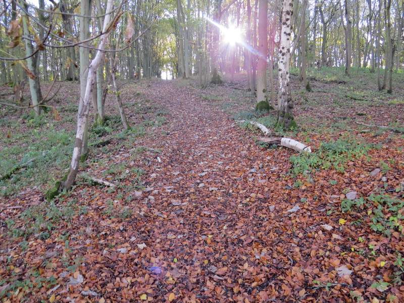
The bridleway continuing through Hoo Wood (actually that might be the name of a differnt part of this wood)
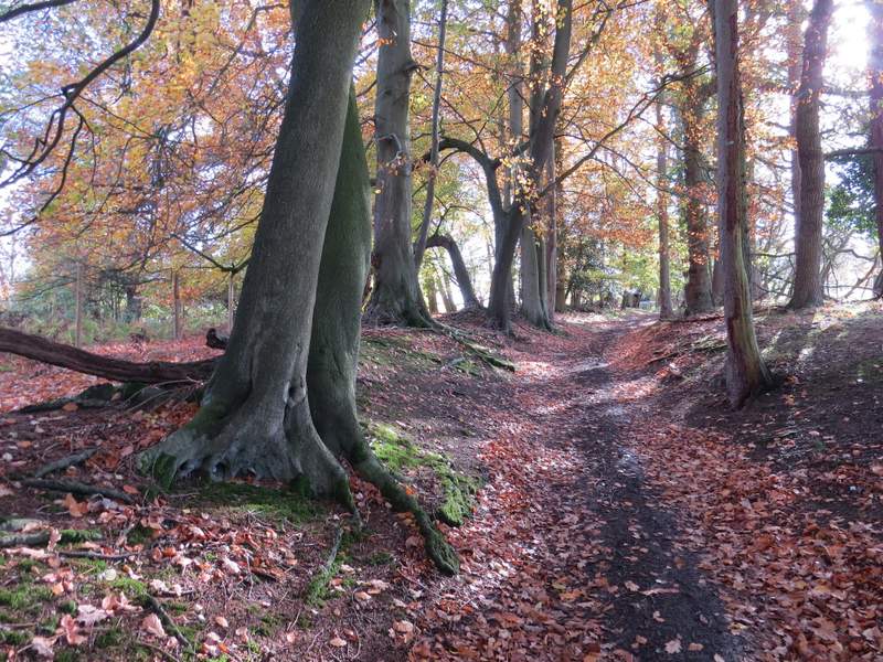
The bridleway continuing through Hoo Wood
The bridleway continuing from Hoo Wood to Little Gaddesden
Instead of going through the gate to the road, I turned very sharply left, and took a path across a paddock. The path continued across a pasture containing some sheep and a few large white cows. After a while the path had a fence on my right. Beyond this pasture the path crossed a paddock to reach Little Gaddesden church.
The path to Little Gaddesden church
The path to Little Gaddesden church
The path to Little Gaddesden church
Little Gaddesden church