Pete's Walks - The Lee and Chesham Vale (page 1 of 3)
If you are considering walking this route yourself, please see my disclaimer. You may also like to see these notes about the maps and GPX files.
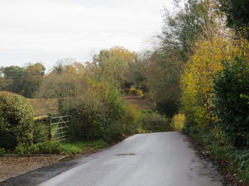
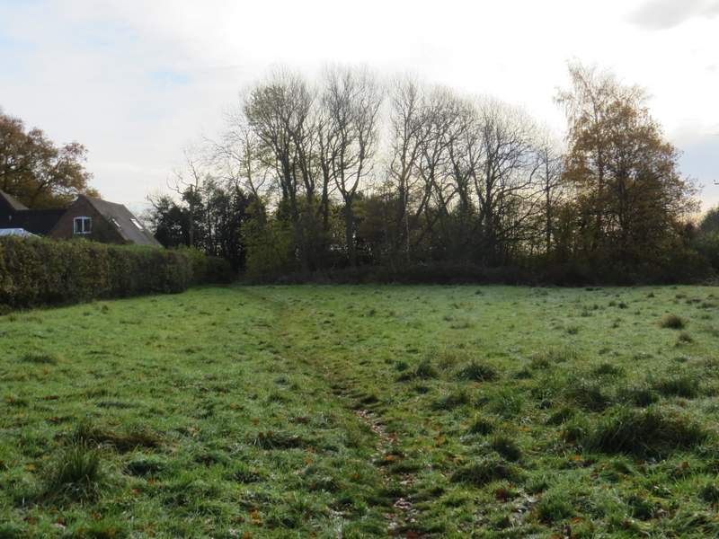
I did this walk of about 8.6 miles on Sunday, 19th November 2017. It was the sixth of the seven walks I will do along the Chiltern Heritage Trail and I was particularly looking forward to this walk as about two-thirds of the route was on paths I'd only walked once before, when I walked the Chiltern Heritage Trail in 2006. I parked beside the green in The Lee, and started walking from the war memorial (grid reference SP 900043) about 9.35am, heading away from the green down the road to Lee Clump. After a quarter of a mile or so the road left the houses of The Lee behind and went down and up a small valley. Near the the top of the valley, I took a path on the right, staying close to a hedge on my left through what appeared to be park land (lots of mature trees dotted about the grass), though evidently used as a cattle pasture (Note: when I did this route in 2006, it continued a little further along the road, then turned right into Oxford Street). To my right, at the bottom of the very small valley the road had just crossed, was a white cottage entirely surrounded by a hedge, set in the middle of this park land. It's a very singular dwelling place and I was delighted to see it - I've seen it on TV programmes and in many photographs, and I've often wondered exactly where in the Chilterns it was (in fact I've since remembered someone did tell me where it was once, but I'd forgotten!). If the Chiltern Heritage Trail hadn't been re-routed this way I'd have missed it (as I must have done in 2006), as it's not immediately obvious from the road. After a hundred yards or so, I went through a metal kissing-gate on the left and down a short alley to reach Oxford Street in Lee Common. I turned right and followed it for about a third of a mile, passing an old well (on my left) just before reaching a T-junction.
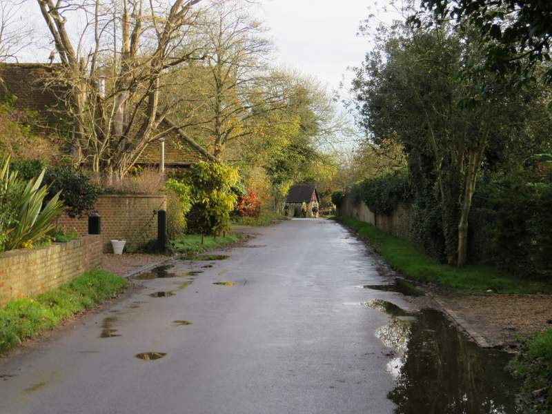
The road through The Lee, heading to Lee Clump
The road through The Lee, heading to Lee Clump
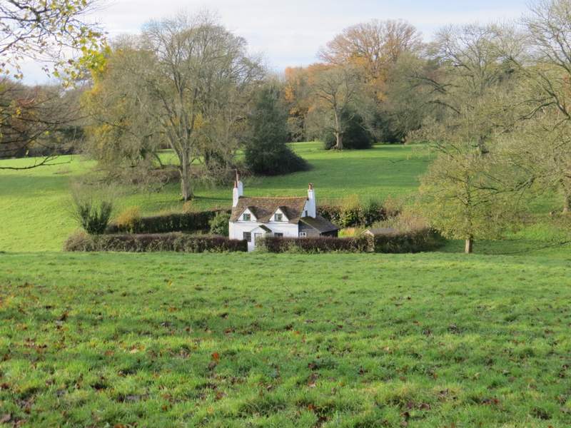
The cottage in the park land. I have seen this on TV and seen photographs of it numerous times, I've always wondered exactly where it is in the Chilterns (actually somebody who used to visit this web site did tell me some time ago, but I'd forgotten!)
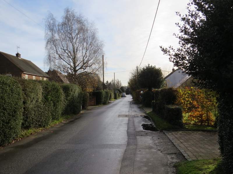
Oxford Street, Lee Common
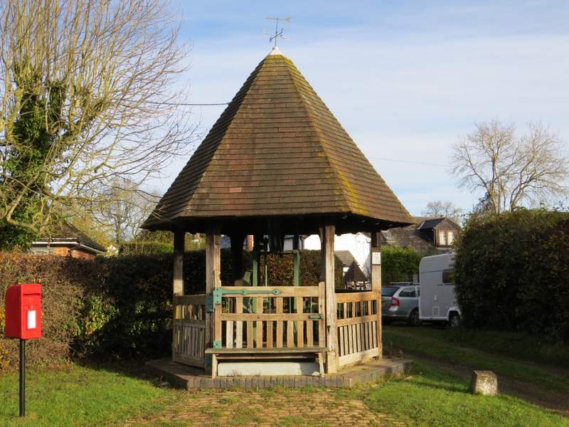
The old well at Lee Common
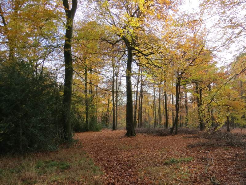
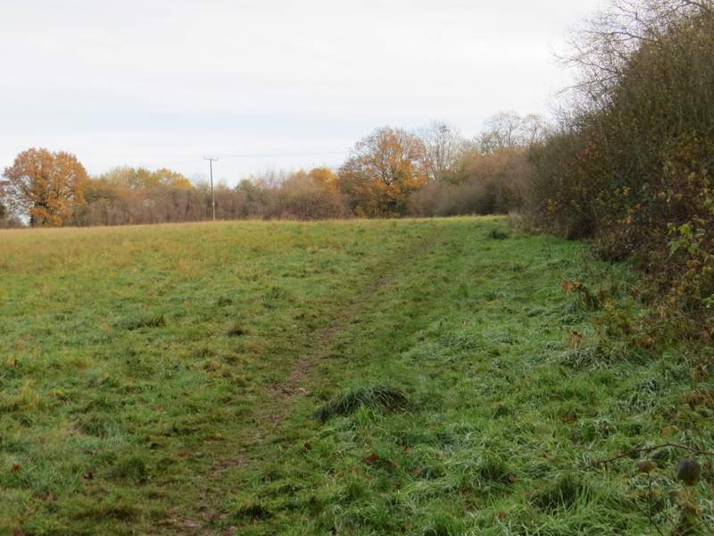
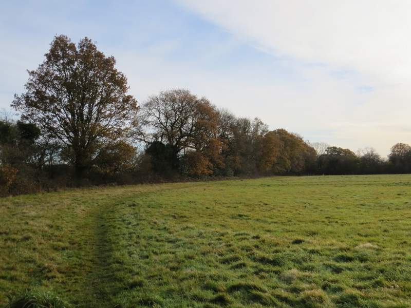
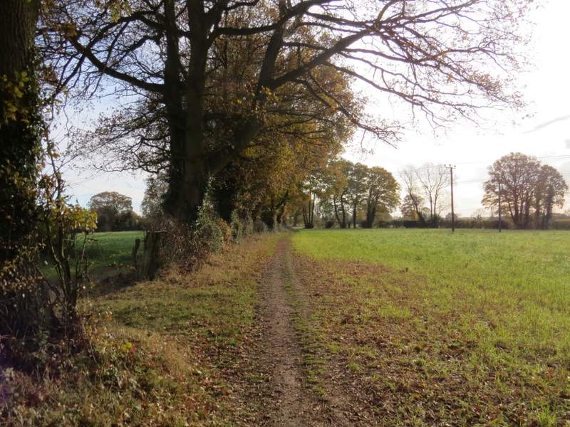
I turned left, but after about 50 yards took a footpath on the right. This ran along a broad 'avenue' of trees, with a fence along the right but with gaps between the trees on my left for much of the way. I assumed this must have been part of an old drive to a big house, but after going over two or three stiles in wire fences I came to a gate and another stile where the 'avenue' just stopped, with no sign of any drive continuing anywhere. The footpath continued along a hedgerow on the left past another field, then entered a wood. An arrow on a tree showed where the path turned right, then another arrow showed where it turned left, dropping into a valley where it crossed another path (one I've often walked), then continuing uphill through the wood. I went over a stile near the top of the slope, the path leaving the wood and going a few yards through bushes into the corner of a meadow. I followed the right edge of the meadow as far as some overhead wires, where I turned right and went over two stiles to reach a much smaller meadow, where the path crossed to the far left corner.
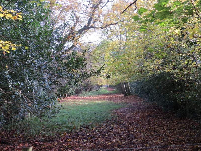
The 'avenue' near Bassibones Farms
The 'avenue' near Bassibones Farm
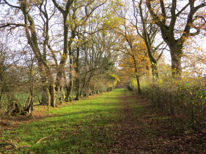
The end of the 'avenue' near Bassibones Farm
The path continuing through the wood
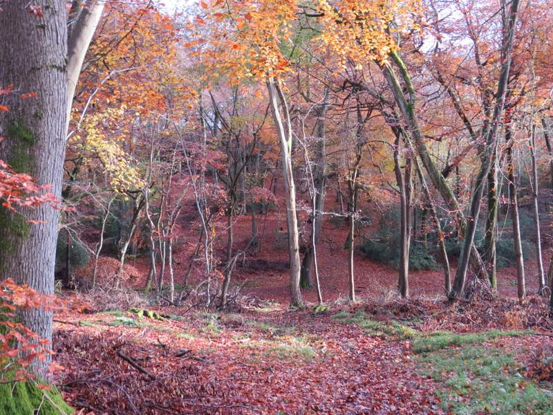
The path through the wood, approaching the valley bottom
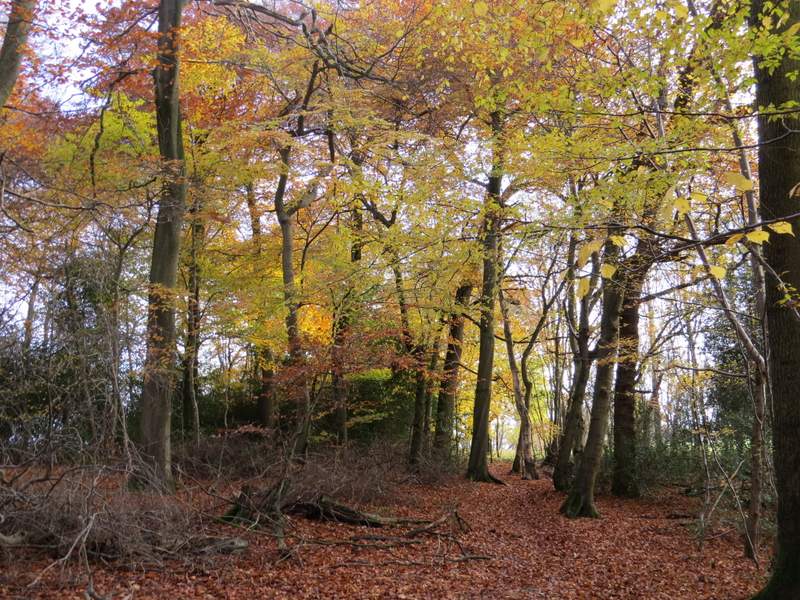
The path continuing up the other side of the valley
The path continuing from the wood
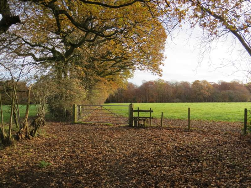
The path after I turned right, approaching Capps Lane
I then crossed Capps Lane, the path in the next meadow soon following the hedgerow on the left. It continued beside this hedge through a narrower field and on into another field. A little further on the path went half-left across another field, before continuing along the left edge of a playing field to reach Cogdells Lane in Chartridge, where I turned left. I soon came to the end of the lane, by the village hall and reading room, where I turned right along the road through Chartridge.
The path continuing after I crossed Capps Lane
The path continuing towards Chartridge
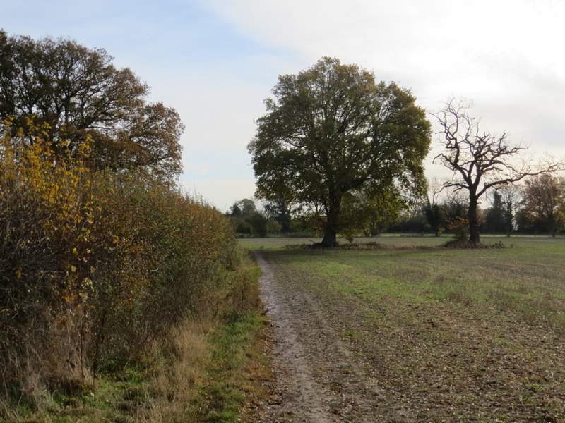
The path continuing towards Chartridge/p>
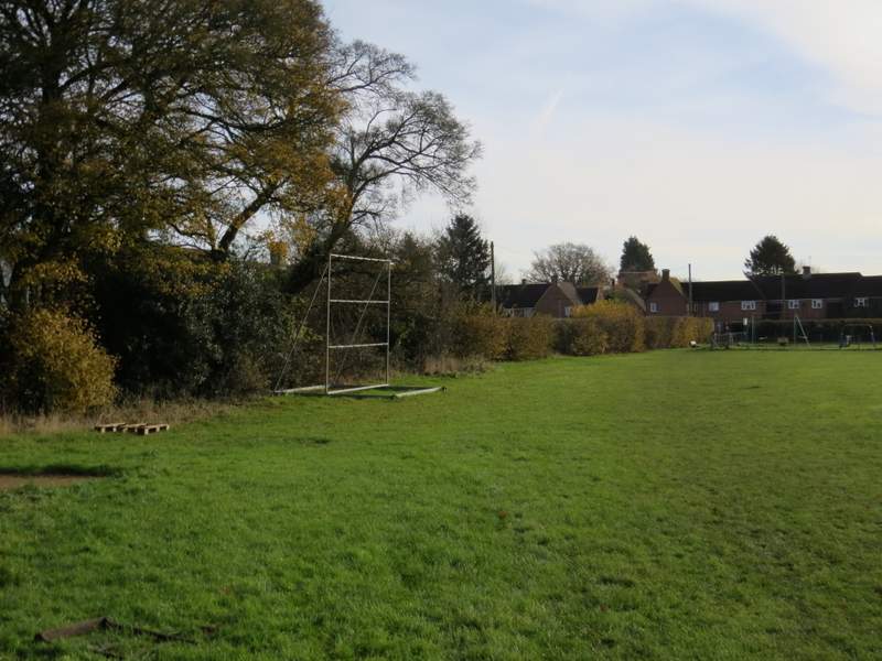
The playing field at Chartridge
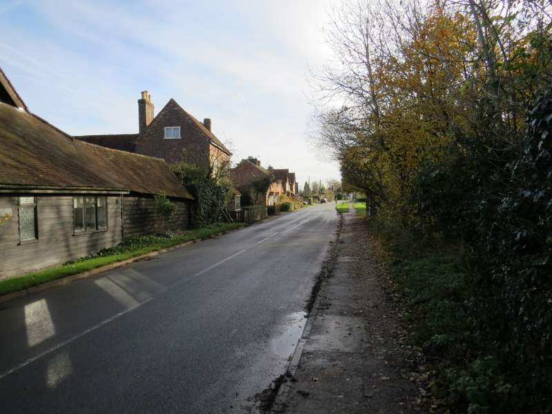
The road through Chartridge