Pete's Walks - The Lee and Chesham Vale (page 3 of 3)
If you are considering walking this route yourself, please see my disclaimer. You may also like to see these notes about the maps and GPX files.
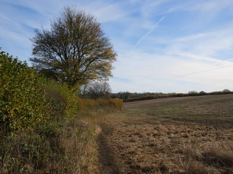
There was a path crosroads in this field corner, where I turned right to follow a path along a valley bottom (apart from a short section in Chartridge, this was the first part of today's walk that I was familiar with). On reaching a kissing-gate and hedgerow, I went through the gate and straight on alongside a fence on my left, through a pasture rising up the hillside to my right. There were a few cattle here near the next corner I came to, where I turned left at a path junction and followed a path uphill to reach the road through Cholesbury, close to the entrance to Cholesbury Camp, an iron-age hill fort (the Chiltern Heritage Trail specifies an optional walk around it, but I've done it before several times and just didn't have time to do it today - I'd recommend it to anyone who's interested in history though). I turned right and followed the road for about a quarter of a mile, passing the village cricket pitch on the common to my left, and then turned right into a road name Ray's Hill. I soon passed Hawridge (or Cholsesbury) Windmill on my left (which has interesting literary connections, to people such as J.M.Barrie), then the road dropped downhill into a valley (the same one I'd followed a little earlier).
The path along the valley, near Cholesbury
The path along the valley, near Cholesbury
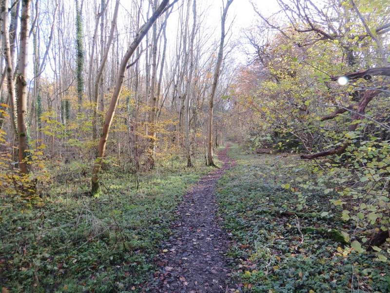
The path to Cholesbury, after I turned left
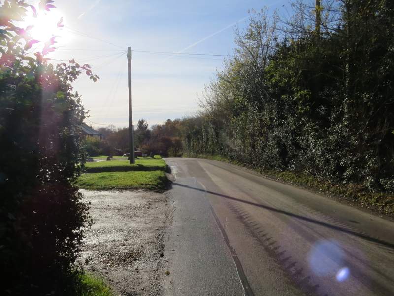
The road through Cholesbury
Ray's Hill
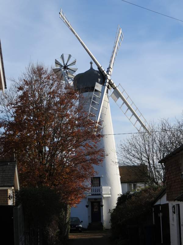
Cholesbury Windmill
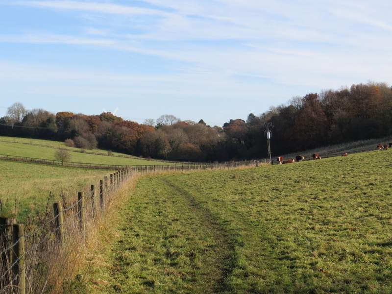
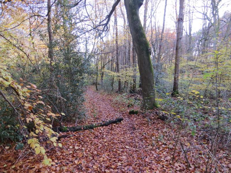
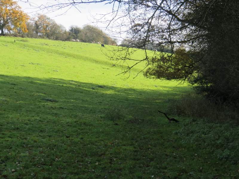
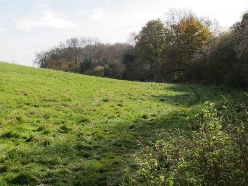
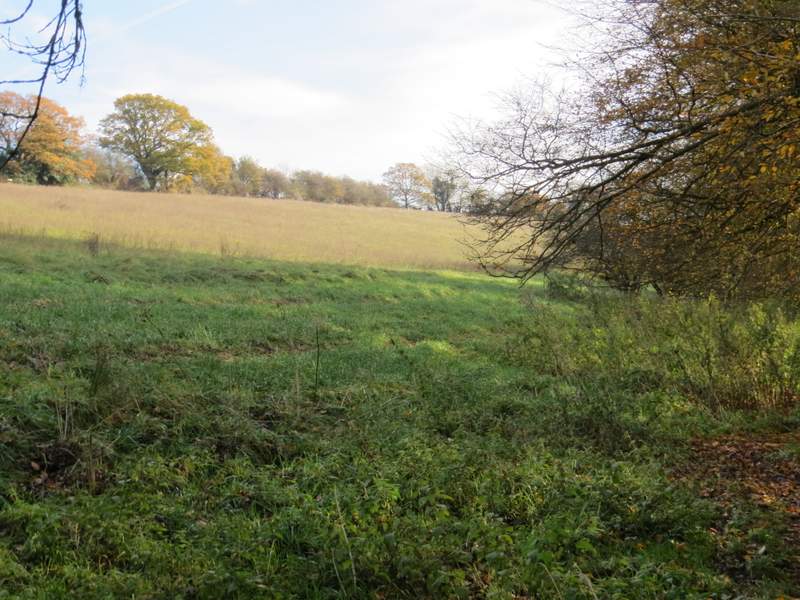
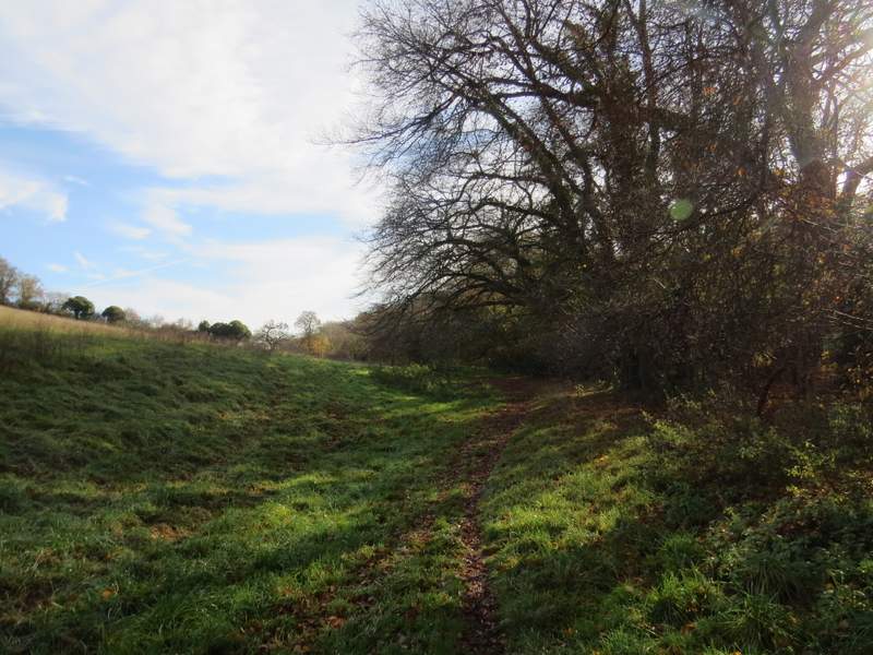
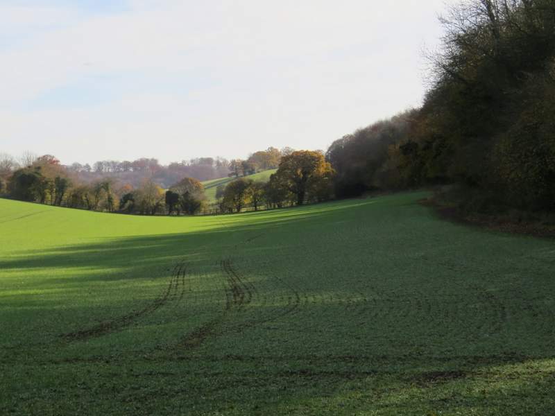
At the bottom of the valley I took a footpath on the left, which ran along a short drive to reach a cottage, then continued straight on to pass the rather rundown smallholding behind the cottage. I would be following this valley for almost two and a half miles now - I believe it's called White Hawridge Bottom, at least that's the name the OS map has at the far end of the valley. After passing through part of a wood for a few hundred yards, the path emerged in the corner of a large pasture, which sloped uphill to my left, with a tall hedge on my right. There were cattle on the hillside at the far end of this pasture, where I went through a gate to continue beside the hedge through another pasture, this time empty. I then crossed a track named Hawridge Lane, and continued across a field where I briefly had a hedge a little way to my left for a change. But soon I was following a tall hedge on my right again, in fact sometimes I had to duck under its branches. There was now a sequence of three large fields sloping up the hillside on my left as I continued along the valley bottom - they were all just rough grass, as if they hadn't been used for crops or animals for some years.
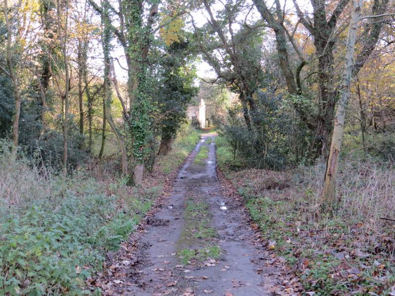
The start of the path through White Hawridge Bottom
The path through White Hawridge Bottom
The path through White Hawridge Bottom
The path through White Hawridge Bottom
The path through White Hawridge Bottom
The path through White Hawridge Bottom, just after crossing Hawridge Lane

The path through White Hawridge Bottom
The path through White Hawridge Bottom
The path through White Hawridge Bottom
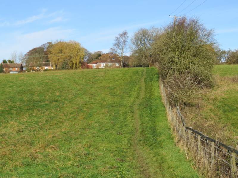
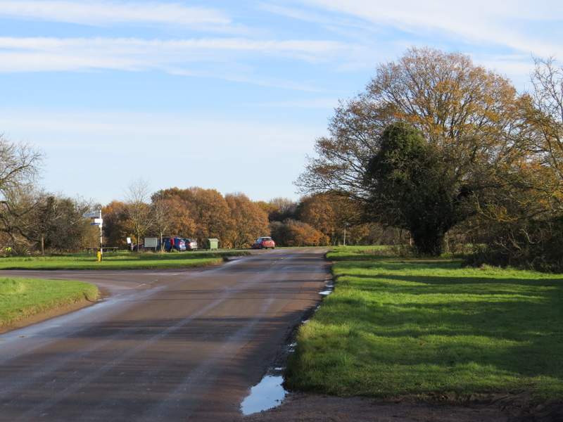
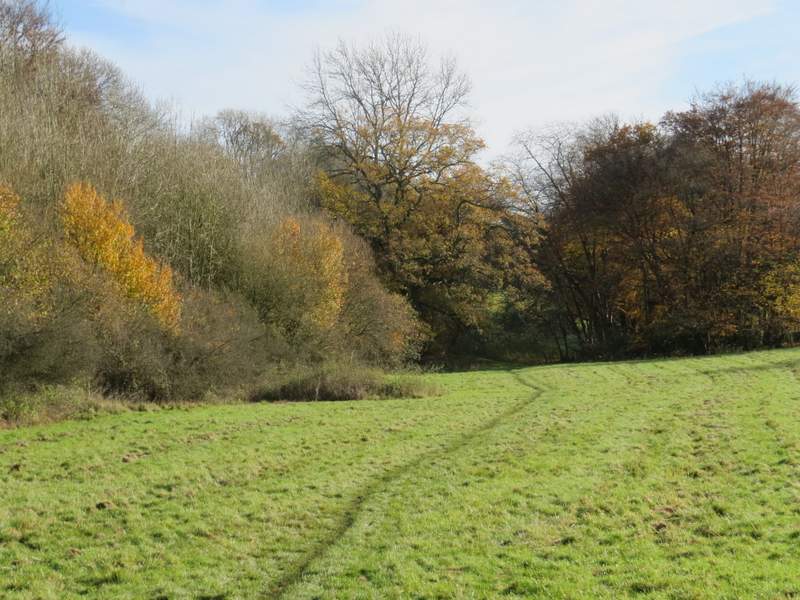
Eventually I went over a gate into an arable field, where the path went a few yards right to the field corner before turning left to continue along the valley bottom, now with Ramscoat Wood on my right. Maybe 30 yards or so before the next field corner the path turned right into the wood, almost immediately ending at a byway where I turned left. The byway soon left Ramscoat Wood, and ran along the edge of the wood with some paddocks now on my left (for many years there was an ostrich farm here, but it has obviously closed down). After a while the byway turned left, dropping downhill a short way before turning right to continue along the valley bottom for almost half a mile to reach a road in Chesham Vale (a valley rather than a place). I turned left and carefully followed the road about quarter of a mile to reach the Black Horse pub (Note: when I did this route in 2006, it turned left by the ostrich farm, then went right at the next path junction to reach the road a little closer to the pub).
The path through White Hawridge Bottom, passing Ramscoat Wood

View over the former ostrich farm

The byway continuing from the former ostrich farm

The byway continuing from the former ostrich farm

The Black Horse, in Chesham Vale
I really enjoyed this walk, mainly because about two thirds of it seemed 'new' to me as I'd only walked it once before and that was eleven years ago. It was also a nice day for a walk, though cold, and I really enjoyed seeing the trees in their Autumn colours. The paths were slightly muddy after yesterday's rain - this slowed me down a bit, as usual, but didn't really detract from the pleasure of the walk.