Pete's Walks - Chesham and Chesham Vale (page 2 of 3)
If you are considering walking this route yourself, please see my disclaimer. You may also like to see these notes about the maps and GPX files.
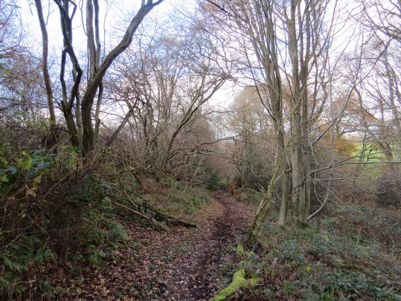
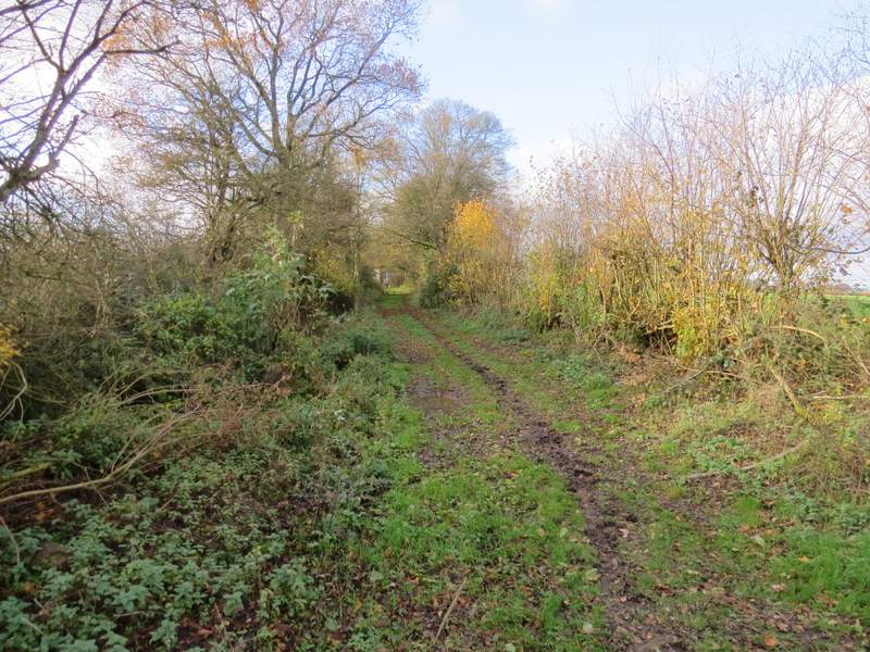
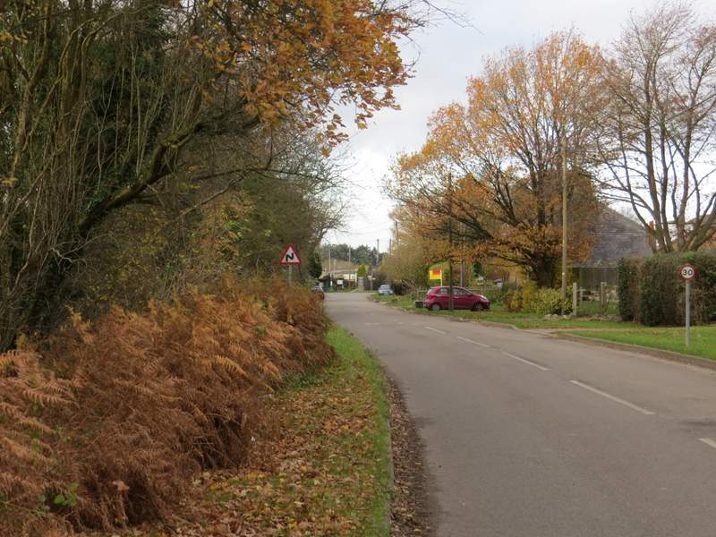
At the road junction I went straight on, crossing three or four roads to do so, and then took a bridleway starting on the left side of the furthest road. There was soon part of a golf course behind the hedge on my right. After a quarter of a mile or so I came to a junction in a wood, where I stayed on the bridleway as it turned left and dropped gently downhill (this was probably the muddiest section of today’s walk). At the bottom of the slope I came to a bridleway junction, where I went left, the bridleway now following a valley bottom and running just inside the edge of a wood, with fields sloping up on my right. After a third of a mile or so, there was another junction with a bridleway coming in on the left – I went straight on here, and continued straight on at the next junction where another bridleway went right. It was then only a short distance before the bridleway reached a road (the B4505) where I turned right.
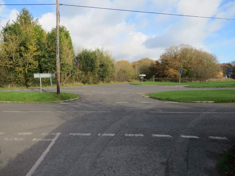
The complicated road junction in Ley Hill - I had to cross all the roads here, and took a bridleway to the left of the road sign in the middle of the photo (across the road to its left)
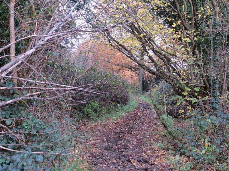
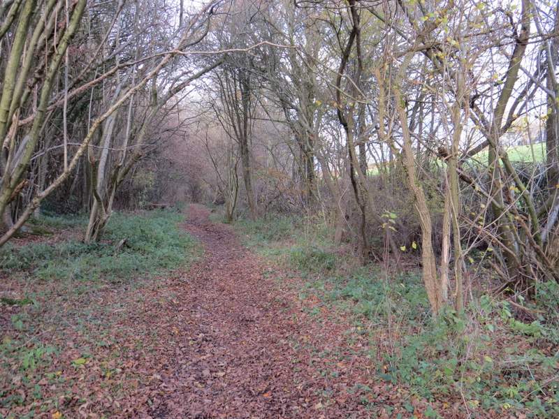
The bridleway from Ley Hill
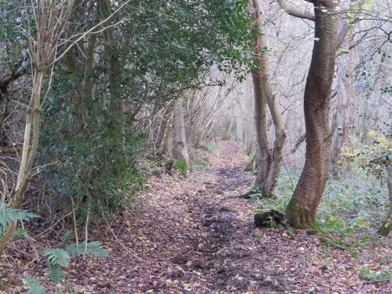
The bridleway from Ley Hill
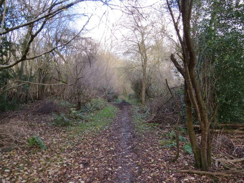
The bridleway from Ley Hill
The bridleway from Ley Hill
The bridleway from Ley Hill
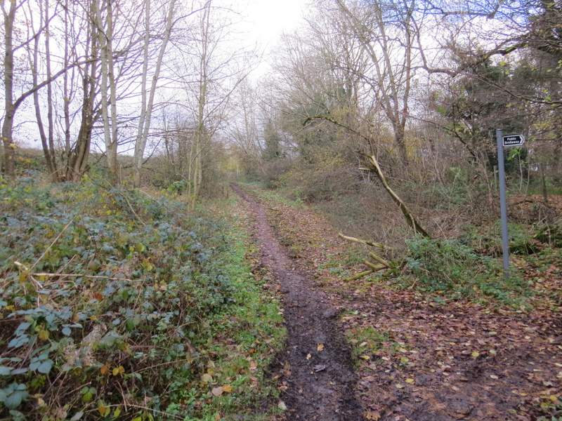
The bridleway from Ley Hill (where another bridleway goes right, shortly before I reached the road)
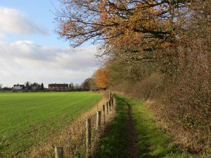
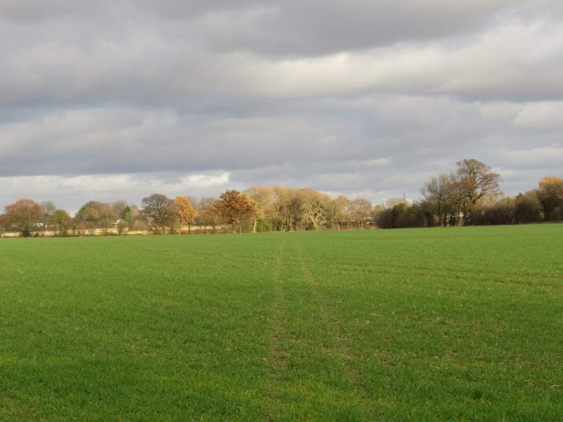
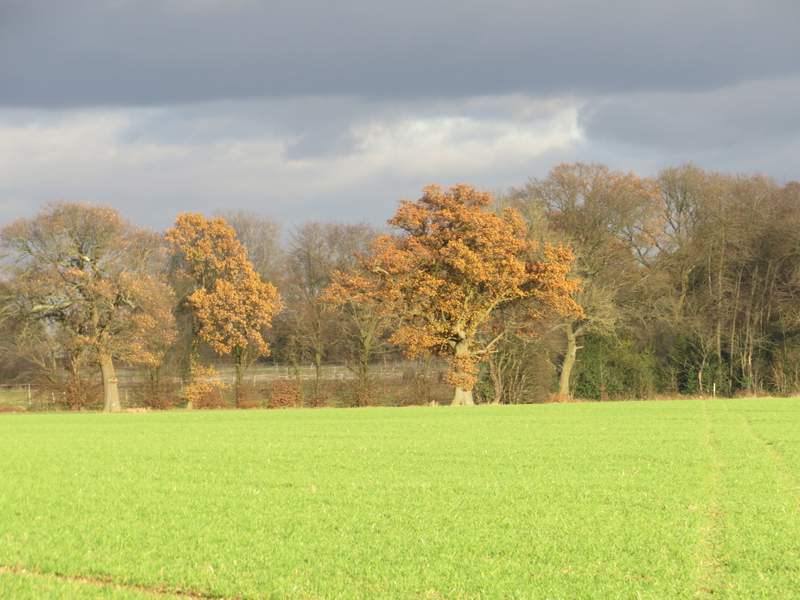
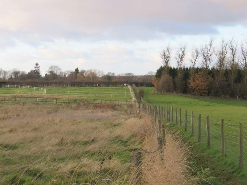
After about 50 yards I took a bridleway starting on the left of the road. This ran for several hundred yards beside a tall hedgerow of trees on my right, with a fence separating me from the arable fields to my left. The bridleway then continued for a hundred yards or so with tall hedges either side to reach Moors Farm, where I immediately turned sharply right and started following a path across a huge arable field (tyre tracks showed the way – the guidebook warns that sometimes the path isn’t re-instated, I remembered that I had to follow the edge of the field when I was here in 2006). It seemed to take ages to get across this enormous field, but when I finally did so the path continued through some trees and then followed a hedgerow on my right past some paddocks (there is an iron-age hill fort here, but there is very little to see). The path ended at a road, where I turned left and followed the road into Whelpley Hill.
The bridleway to Moors Farm
The bridleway to Moors Farm
Near the start of the path from Moors Farm to Whelpley Hill
The path from Moors Farm to Whelpley Hill
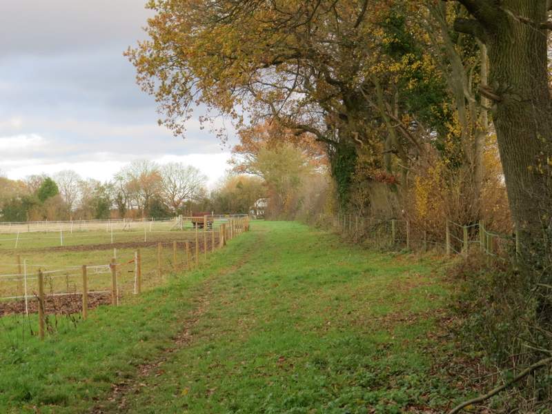
The path from Moors Farm to Whelpley Hill, passing the paddocks
When the road turned right, I went straight on along a footpath through a mobile home park, crossing three or four streets here. The path then continued between fences either side for a while, before crossing a large and flat ploughed field, where tractor tracks showed the way.
The road through Whelpley Hill
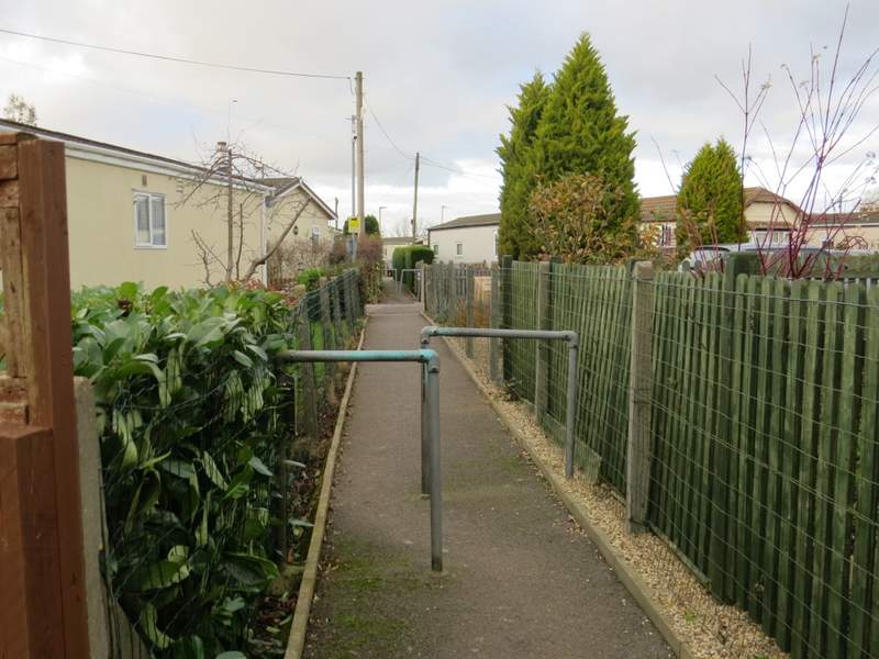
The path through the mobile home park at Whelpley Hill
The path from Whelpley Hill to Ashley Green
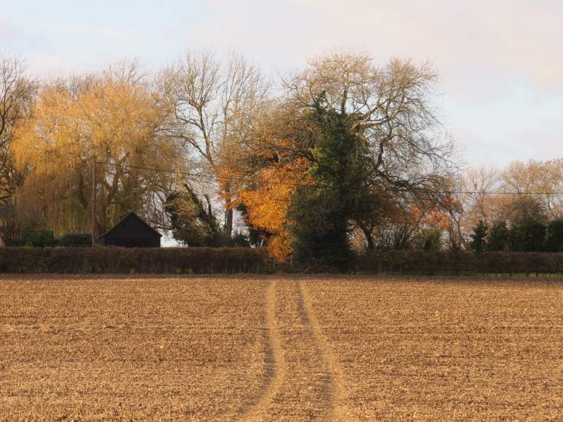
The path from Whelpley Hill to Ashley Green, approaching Sale's Farm