Pete's Walks - Chesham Vale and Chesham (page 3 of 3)
If you are considering walking this route yourself, please see my disclaimer. You may also like to see these notes about the maps and GPX files.
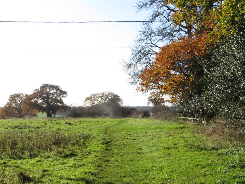
The path crossed a meadow, then continued alongside a hedgerow on my left. On reaching a gap in the hedgerow, the path turned right and dropped steeply downhill into a valley. Here it crossed a track (Bottom Lane), and followed a fence on my right uphill to reach a gap in a hedgerow. The Chiltern Heritage Trail guidebook warns that the route across the next field may vary slightly, but as usual here I had to just go a few yards right to pick up where the path crossed the field. On reaching the far side of the field, the path continued along the edge of the next field, initially with a school playing field over the hedge on my right.
The start of the path from Tyler's Hill to Chesham
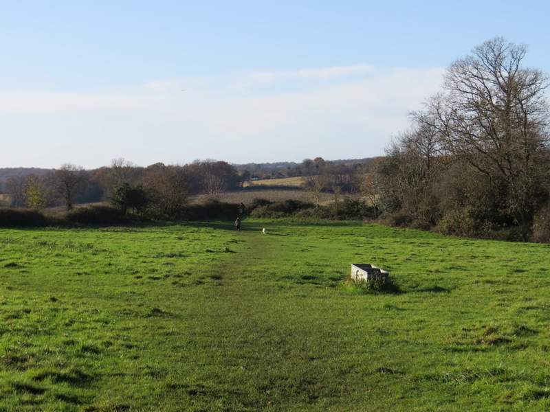
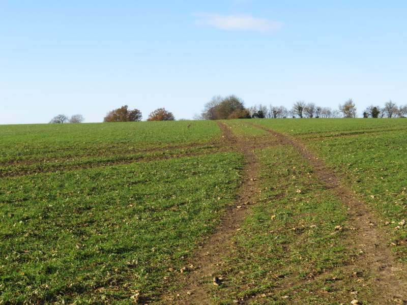
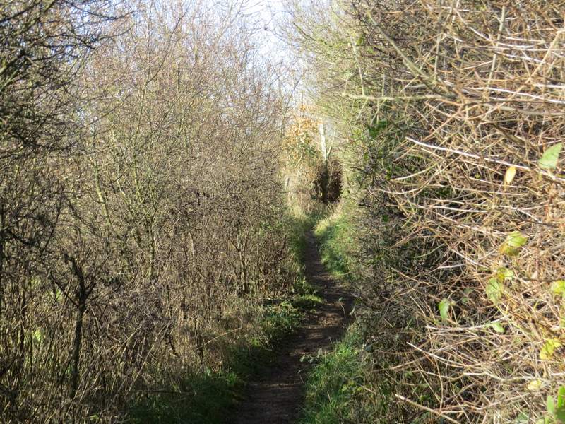
The path from Tyler's Hill to Chesham
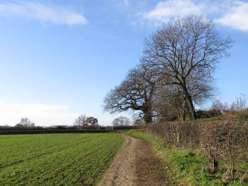
The path from Tyler's Hill to Chesham, descending to Bottom Lane
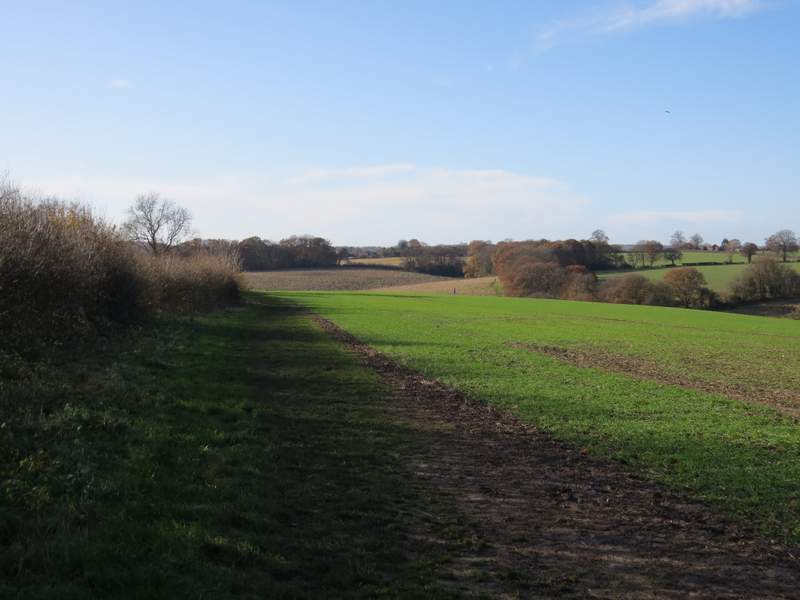
The path after crossing Bottom Lane
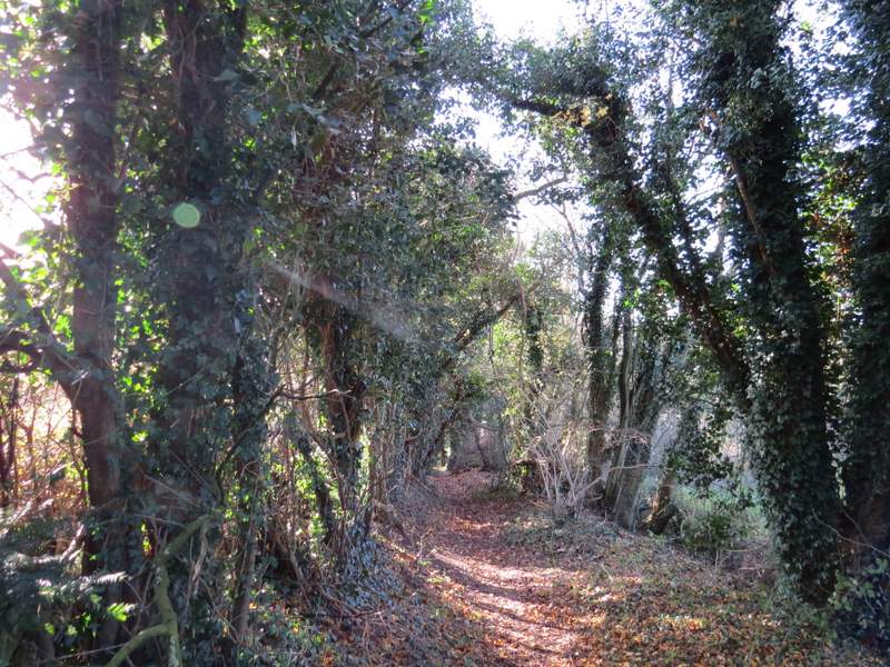
The path continuing towards Dungrove Farm
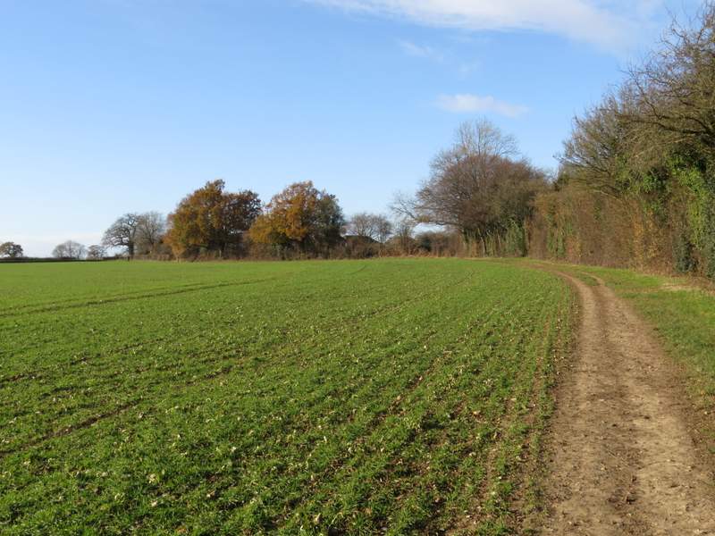
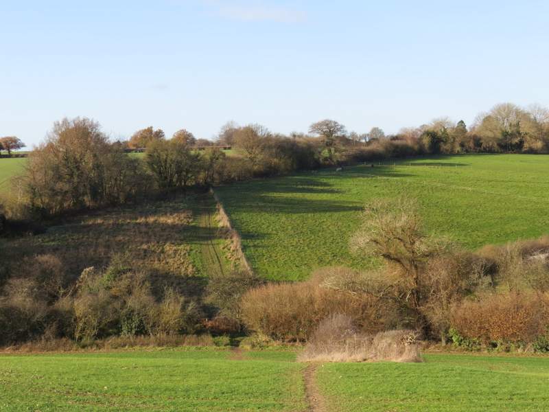
The path continuing towards Dungrove Farm
The path continuing towards Dungrove Farm
After a few hundred yards I reached a drive, going to Dungrove Farm (to my left). The path continued on the other side, crossing a large paddock. It then turned right between hedges for a short distance, before going left through a metal kissing-gate. The path then followed a hedgerow on my right, with Dungrove Farm now over to my left. I ignored a path going right, then went through two metal kissing-gates to go half-right across a large arable field, that was soon sloping downhill – I now had views over Chesham to my right. The path then dropped downhill through trees, turning left to reach a path junction where I turned sharply right and soon crossed a bridge over a railway line (Chesham station was just to my right). The old route, that I walked in 2006, turned right here to go past the station, but the new route went straight on, going down a step of flights named Jacob’s Ladder (there was a plaque at the bottom of them). The route carried straight on down a short residential street, which met East Street just before it’s junction with the main road through Chesham. I followed the main road a few yards to the right to reach the Market Place and the Clock Tower, which marked the end of my clockwise journey on the Chiltern Heritage Trail.
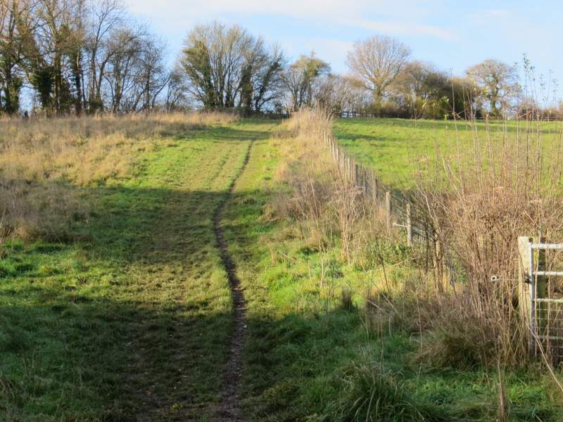
The path after crossing the drive to Dungrove Farm
The path near Dungrove Farm, after turning right
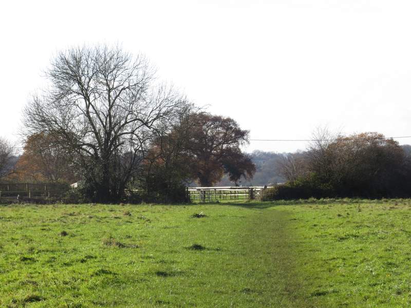
The path near Dungrove Farm, after turning left

The path from Dungrove Farm, after turning half-right

View over Chesham
The same path descending towards Chesham
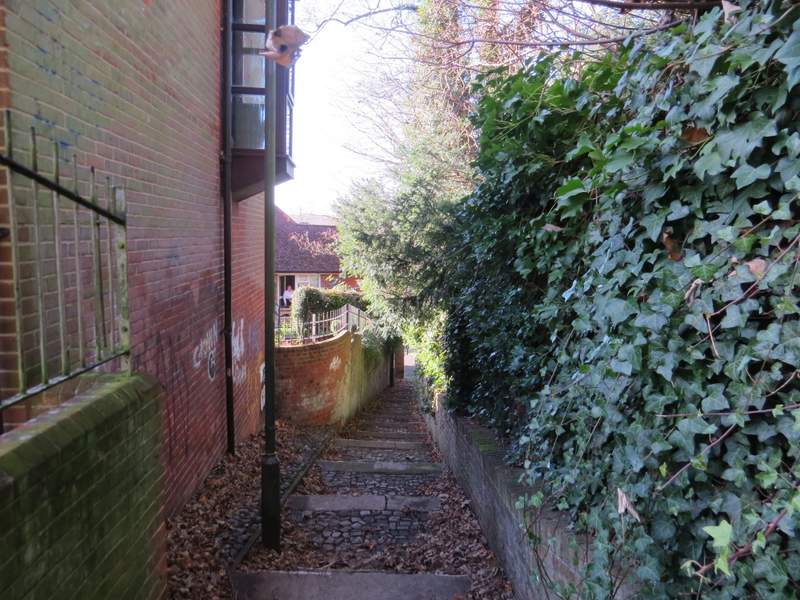
Jacob's Ladder, Chesham
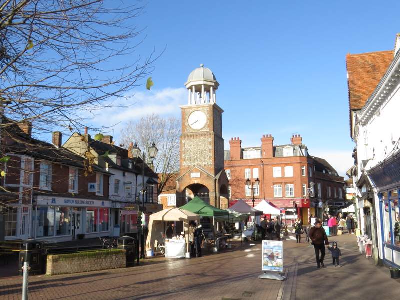
Market Place and Clock Tower, Chesham
This was a very pleasant walk, which I enjoyed more than I’d expected to. It was a cold morning, but I was nicely wrapped up and the cold didn’t affect me at all. It was very noticeable how much barer the trees were compared to last week’s walk – there had been some very strong winds this week and all the Beech trees had lost all their leaves, though some Oak trees still had many of theirs. There wasn’t anything spectacular about the route, but it was just nice typical Chiltern countryside, rolling hills with woods and fields. There were some nice views, especially those over Chesham near the end of the walk. The section along Kiln Lane was completely new to me, and the section from Whelpley Hill to Ley Hill I’d only walked once before, in 2006.