Pete's Walks - Maidensgrove and Turville Heath (page 3 of 4)
If you are considering walking this route yourself, please see my disclaimer. You may also like to see these notes about the maps and GPX files.
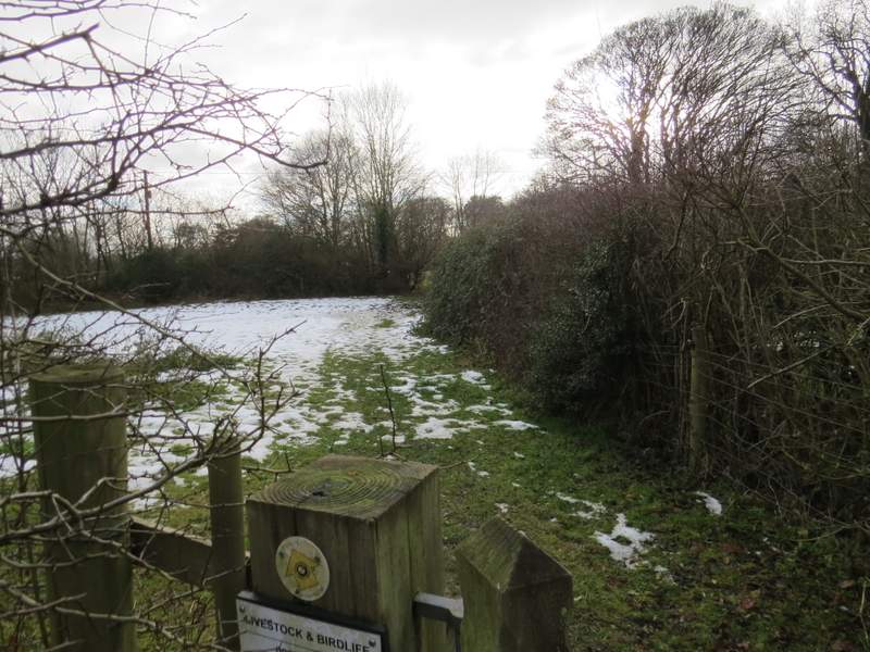
I followed the path straight on through Summer Heath, going straight on where a waymark post indicated a path crossroads. Shortly after this, the path went through a gap in a wooden fence (which I presume is the boundary between Summer Heath and Summerheath Wood). Immediately after this, there was another path junction where I took the left fork, continuing through the wood to reach a gate on its edge (I crossed another path just inside the edge of the wood). From here there was a fine view towards Fingest, which sits at the confluence of a number of valleys, with slopes leading up towards Cadmore End beyond.
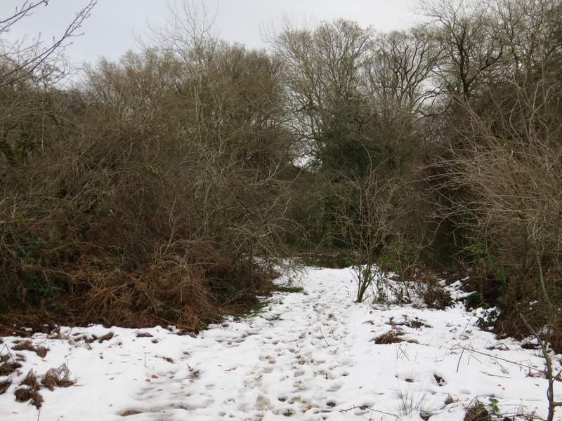
The path through Summer Heath
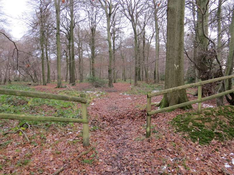
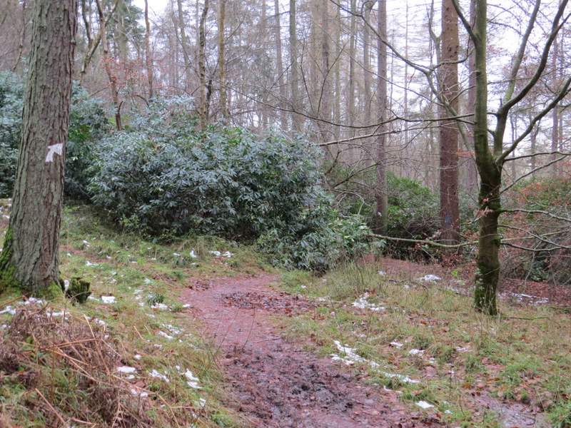
I think this fence marks the boundary between Summer Heath and Summerheath Wood (the former of which is Open Access land) - I took the left fork here
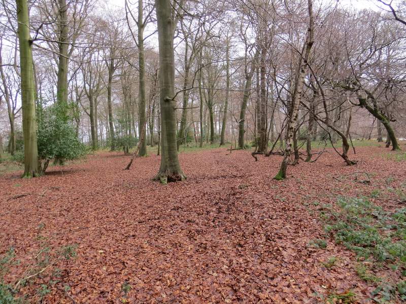
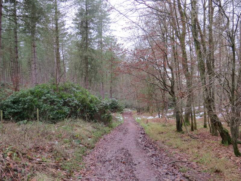
The path through Summerheath Wood
The path through Summerheath Wood
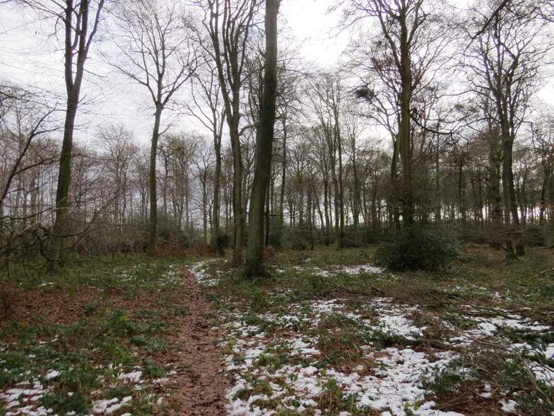
The path through Summerheath Wood/p>
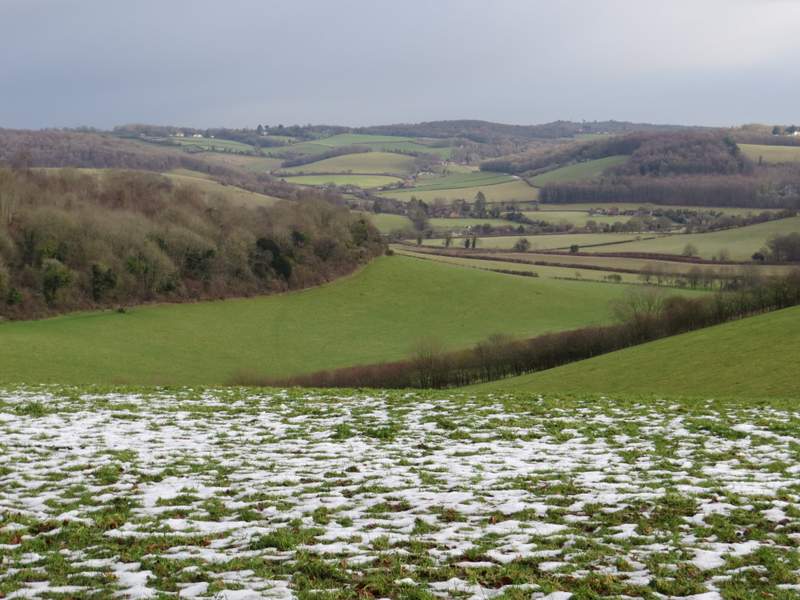
The view towards Fingest from the edge of Summerheath Wood
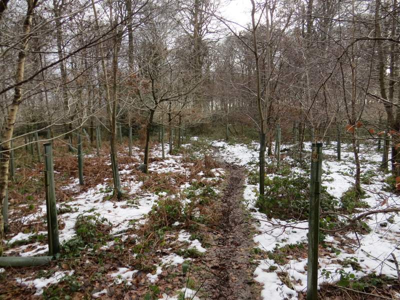
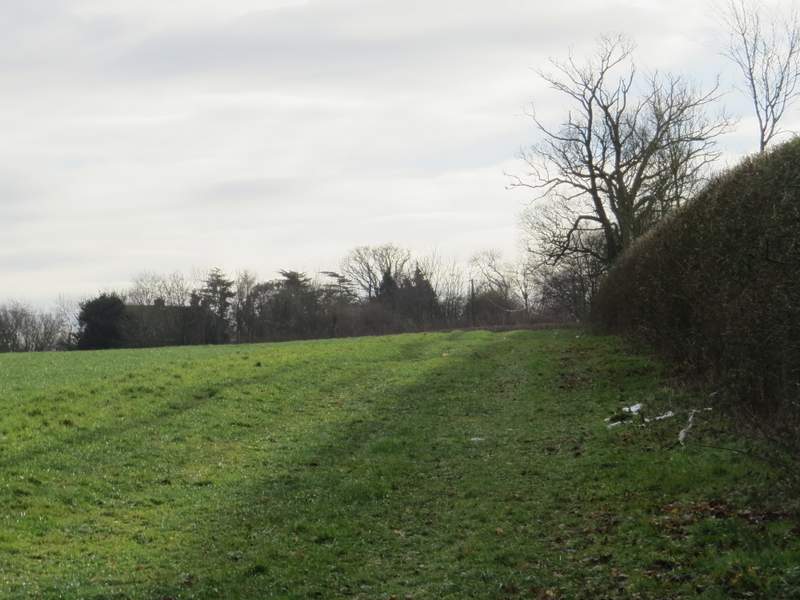
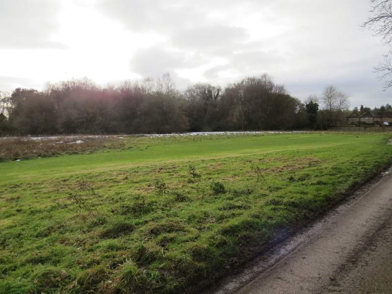
The path continued across a corner of a large sheep pasture, to reach a junction with another path by a gate. I went through this gate and a second one a few yards later (I was now back on slightly familiar territory, having walked this path once before). The path continued alongside a hedgerow on my right, then crossed a drive (it's fairly new, so was not shown on my OS map) and continued through a small paddock or pasture to reach the green at Southend, where I turned right (and, as many times before, sat on one of the two benches here to eat my packed lunch).
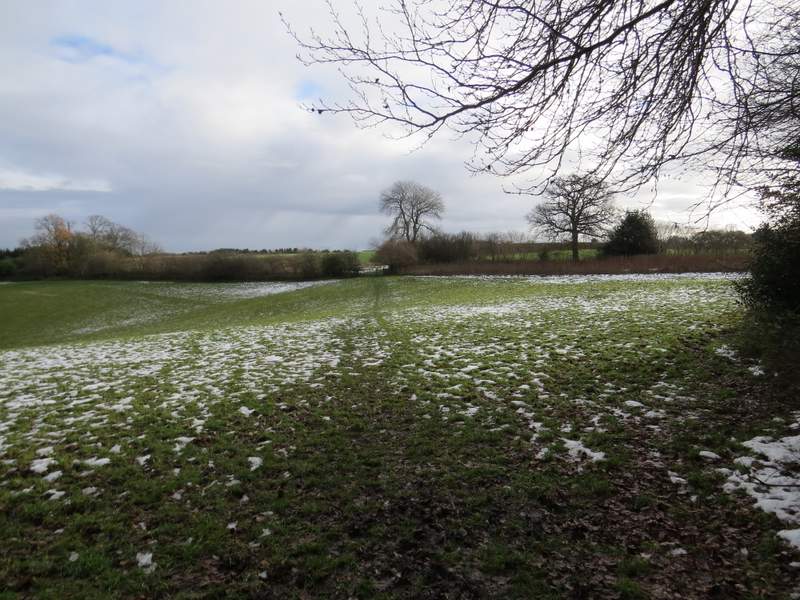
The path continuing from Summerheath Wood
The path to Southend
The path to Southend (after I crossed the drive that isn't shown on the OS map)
The green at Southend
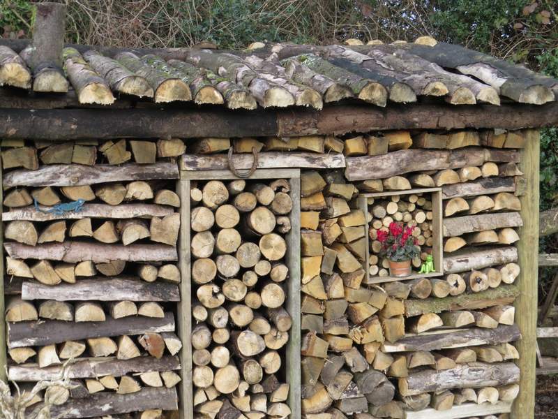
Very impressive wood stack at Southend - spot the lizard and the frog!
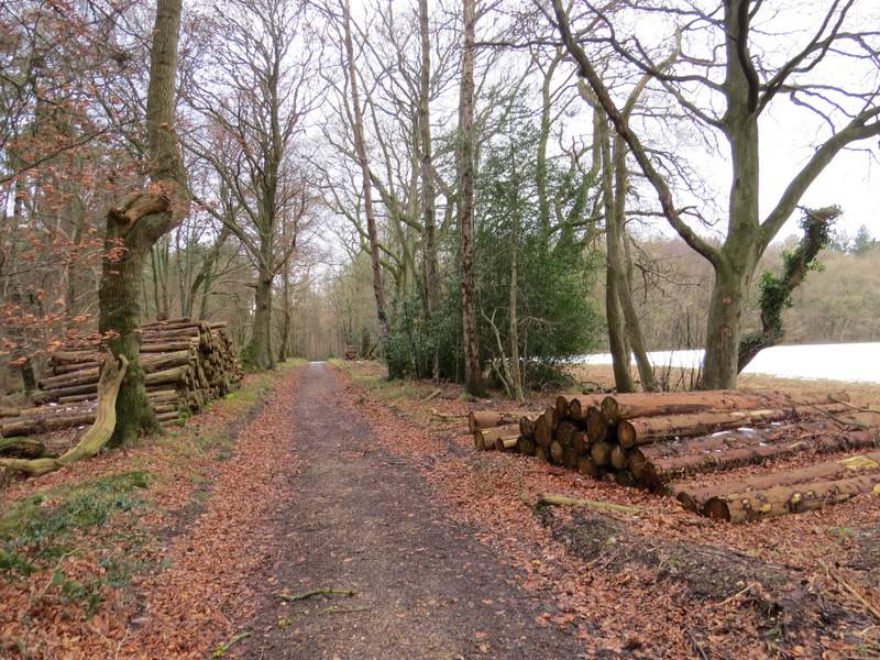
Lunch over, I continued beside the green on my left to reach the lane through Southend, where I turned left. After a couple of hundred yards or so I turned right onto a path that started down a track, with a couple of cottages initially on my left and a wood on my right. After passing a field on the right I was enclosed in woodland (the map shows the path passing between Kildridge Wood, to my left, and Balham's Wood on my right), and the path started to drop downhill. After a while a white arrow showed where the path forked slightly left from the now rather narrow track. The path now passed through an area of Rhododendrons to reach the tall gate giving access to the deer park surrounding Stonor House.
The path from Southend to Stonor Park (the deer park round Stonor House)
The path from Southend to Stonor Park

The path from Southend to Stonor Park
The path from Southend to Stonor Park
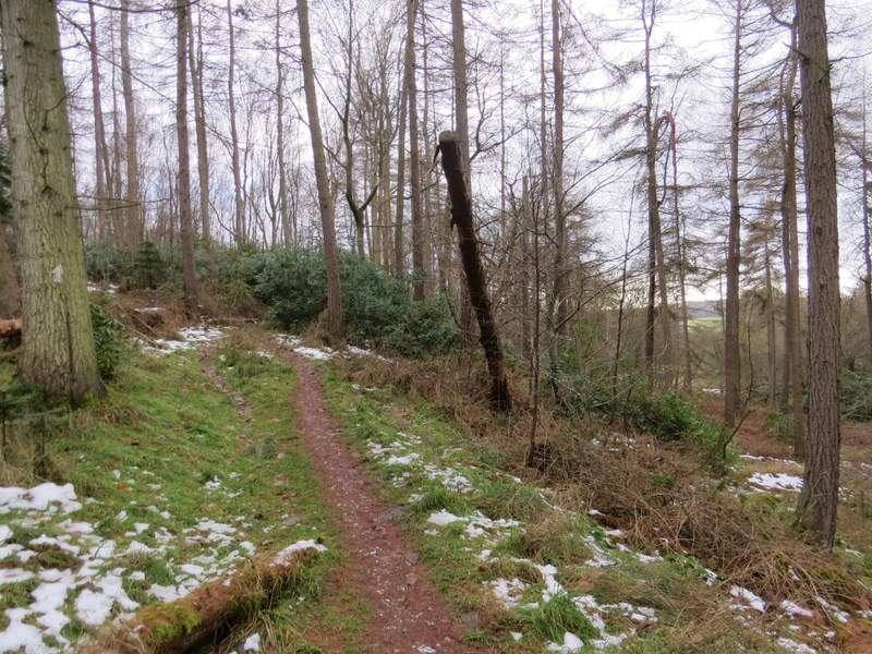
The path from Southend to Stonor Park