Pete's Walks - West Wycombe, Horsleys Green, Fingest (page 1 of 6)
If you are considering walking this route yourself, please see my disclaimer. You may also like to see these notes about the maps and GPX files.
Google map of the walkDownload GPX file of the walk
PLEASE NOTE: The very large car park in West Wycombe used to be free. When I came here on 15th January 2022 I found it is now a pay and display car park, only free if you stay less than one hour and costing £4 if you stay more than 2 hours. I think you have to pay by credit card, I don't think the machine takes cash.
I did this walk of about 14.1 miles on Saturday, 30th December, 2017. It was a repeat of the West Wycombe, Fingest, Horsleys Green walk I did in January this year (2017), but in the opposite (anti-clockwise) direction - a few of the paths were new to me on that walk, and this woukd be the first time I'd walk them in this direction.
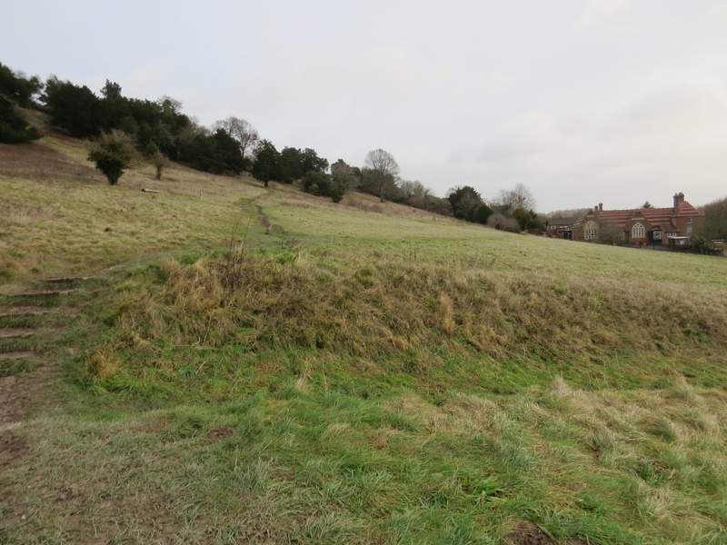
I parked in the car park in West Wycombe (grid reference SU 826947) - it's now named the Hell Fire Caves car park, I think it used to be called the 'village' car park. Starting walking about 9.40am, I crossed the road at the entrance to the car park, and followed an obvious path gradually going uphill across a grassy slope of West Wycombe Hill. After passing some Yew trees the path continued up some steps, turning slightly left, and at the top of the steps I turned left to follow a broad grassy path the short remaining distance to the Dashwood family mausoleum at the top of the hill (looking back there was a view along the A40 into High Wycombe). I followed a path round to the left of the Mausoleum (going straight on where a path forked right to enter the churchyard around St Lawrence's church) and continued to the far end of the car park beyond the church. I made a small error here by taking the obvious path through the long grass at the end of the car park, then quickly forking right - when I reached the drive going to the large house that was now to my left, I needed to go a few yards right to where the path I should have taken from the car park crossed the drive, and turned left. The path was soon running through some trees close to the house's garden on my left, but soon reached a very large field, where I turned left and followed the edge of the field to reach Hearnton Wood. The path carried on through the wood, fairly level, for just over half a mile, before reaching a junction, where my route went left and uphill - there had been a similar junction a little earlier with an unmarked private path, which could cause confusion. At the top of the slope, I turned right along the path that runs northwest along the top of this ridge (this is the path I've always previously taken from the top of West Wycombe Hill).
Near the start of the path up West Wycombe Hill
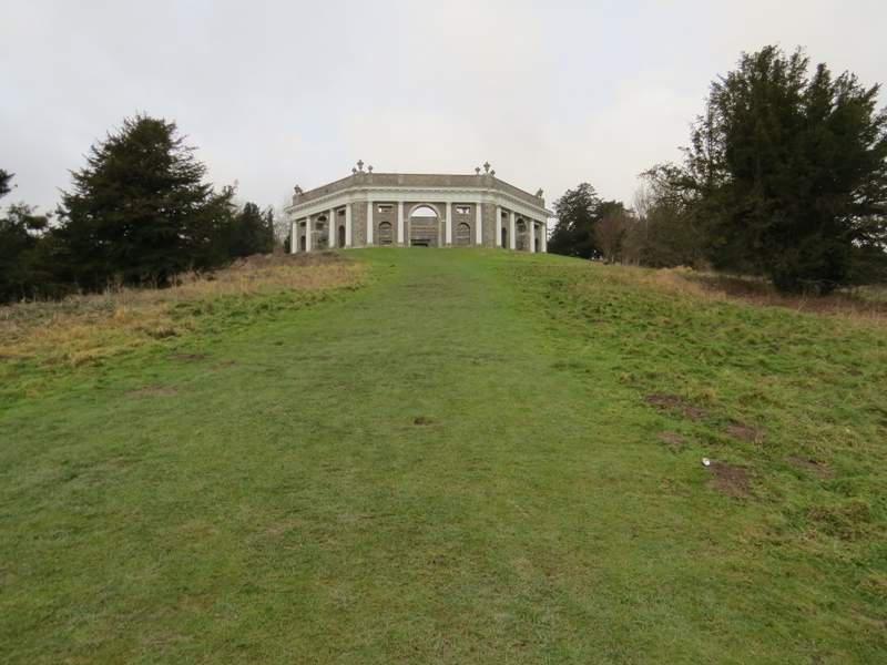
Approaching the Dashwood family mausoleum on top of West Wycombe Hill
View half-left from the car park on West Wycombe Hill. The hill in the centre is the end of Bledlow Ridge.
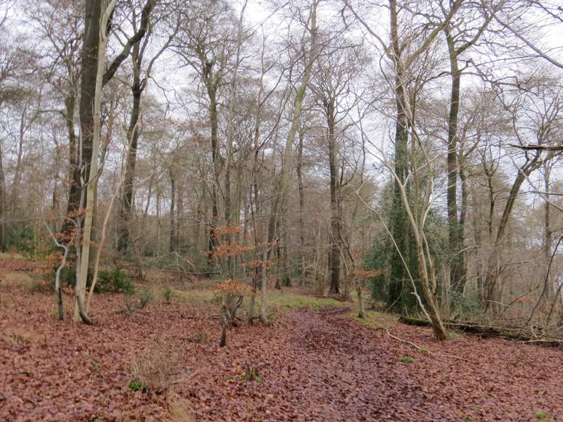
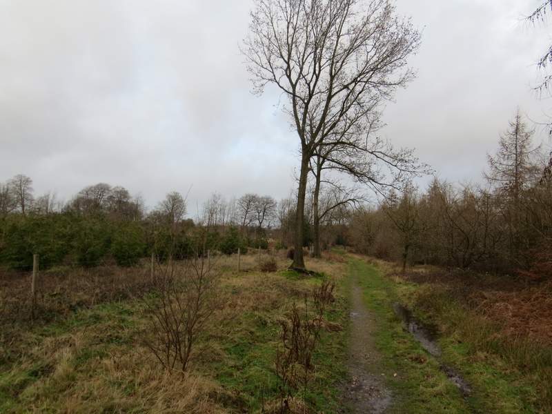
The path to Hearnton Wood
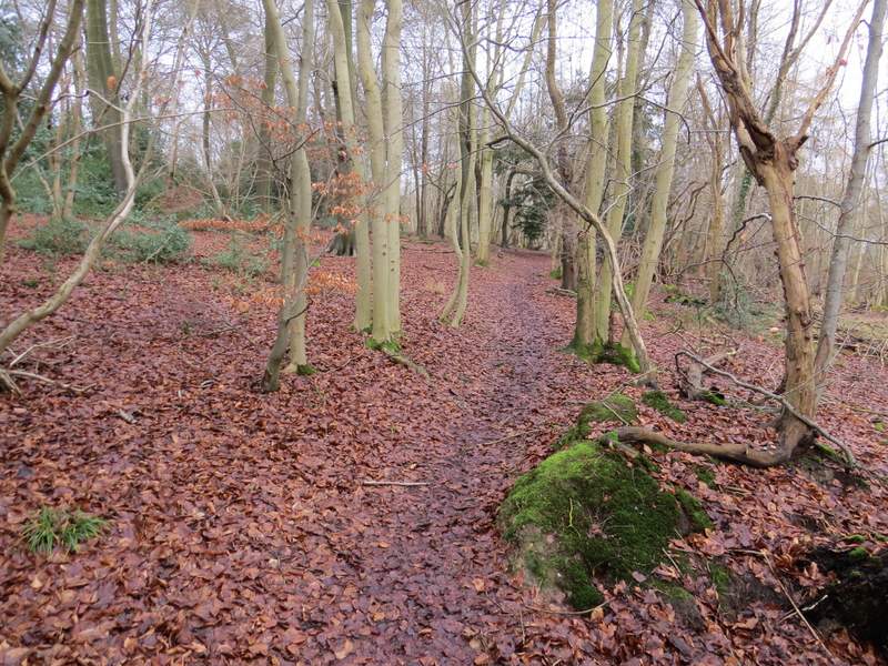
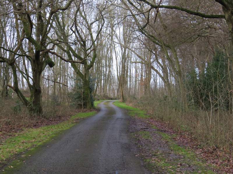
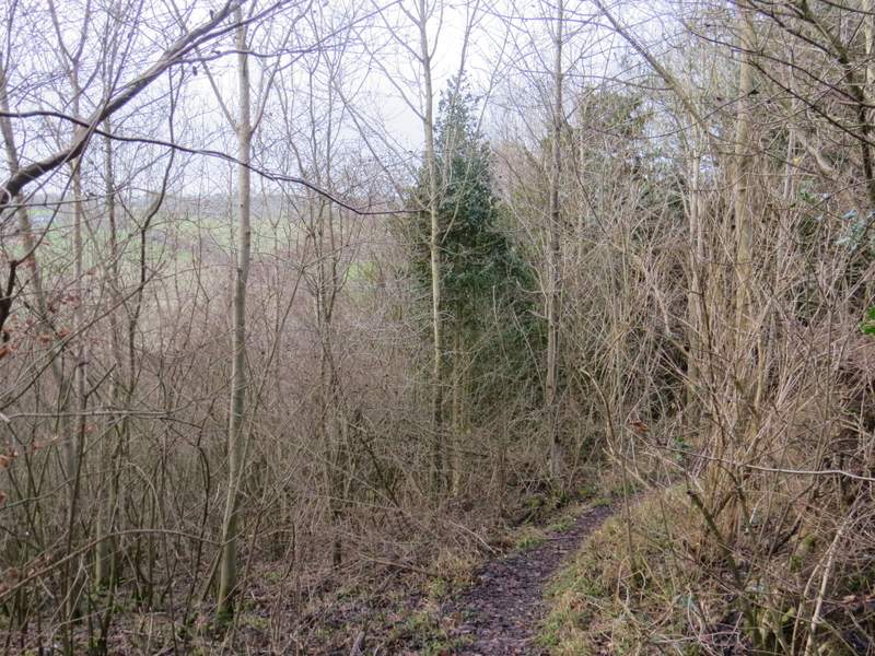
The path through Hearnton Wood
The path through Hearnton Wood
The path through Hearnton Wood
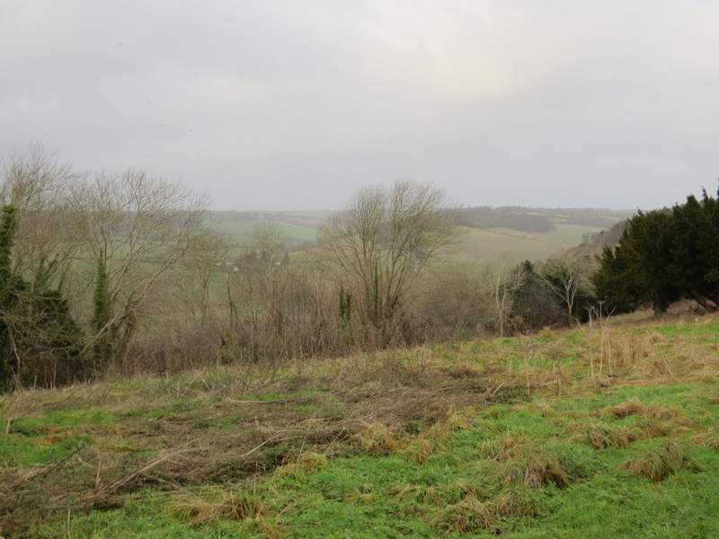
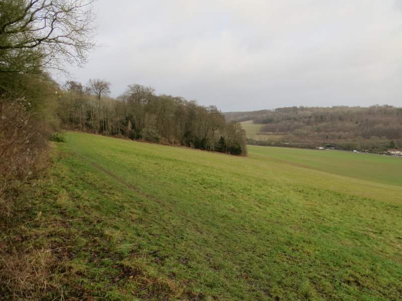
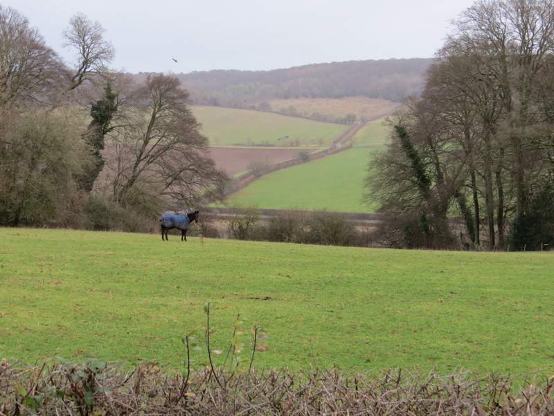
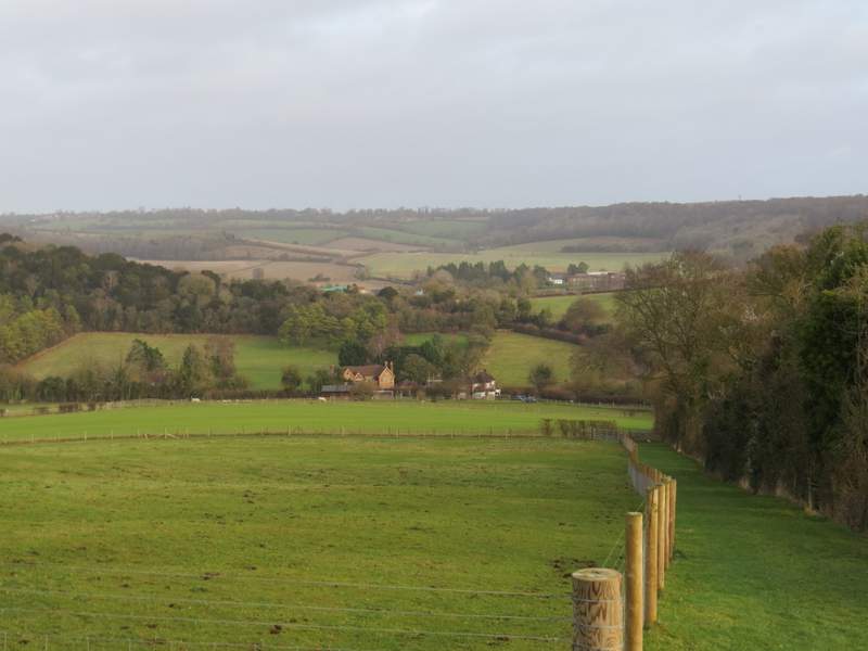
I followed the broad path through the wood. Soon there was a large open area to my left where that part of the wood had been cleared a few years ago and was now regrowing. There was then mature wood on both sides again, until I reached Nobles farm. The path continued down the drive, with fields on my left and part of Allnutts Wood soon on my right. After a few hundred yards the fields ended and I had the wood on both sides. After one or two hundred yards (just before the drive started to descend) I took a footpath forking left (I nearly went wrong again by taking the second, more obvious, path here but fortunately spotted a white arrow a few yards down the correct path). The path soon emerged from the wood, and descended steeply down to a corner of a large paddock with a fine view across a valley to Bledlow Ridge (this is the name of both the hill on the other side of the valley and of the village along its top).
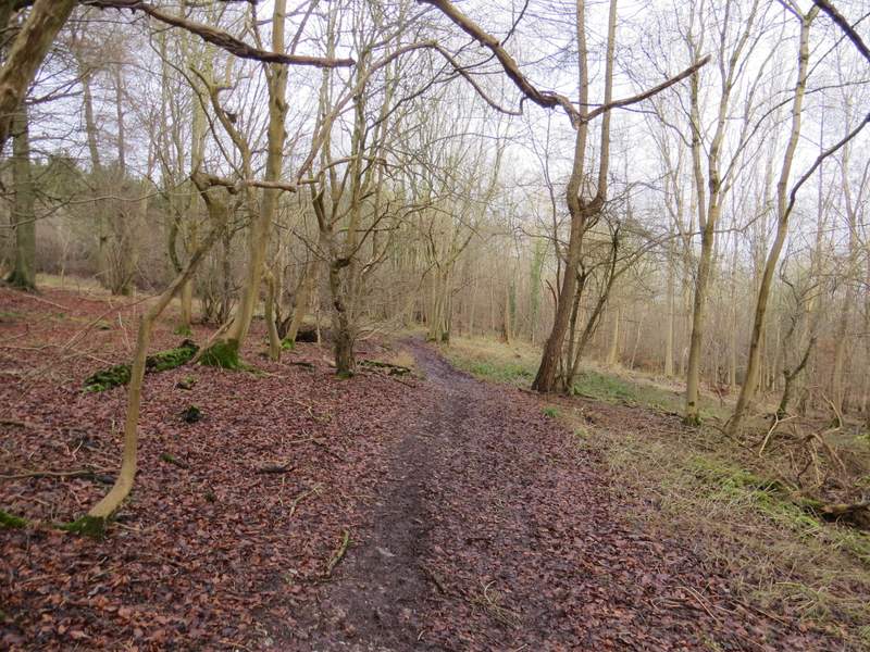
The path through Hearnton Wood, after I turned left and then turned right
Further along the path through Hearnton Wood
View looking right from just after Nobles Farm (the hedge has been deliberately lowered here so that people can admire this view)
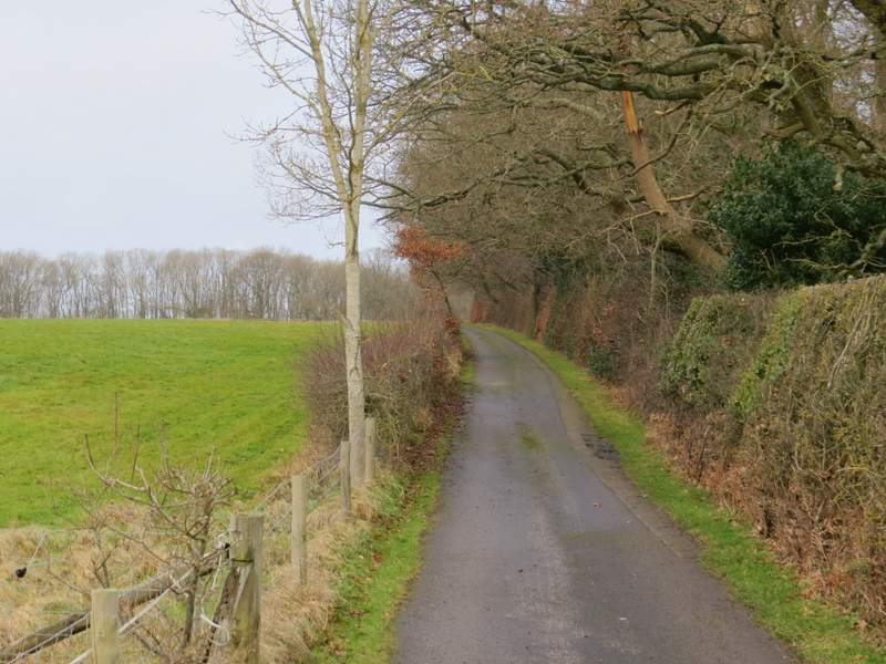
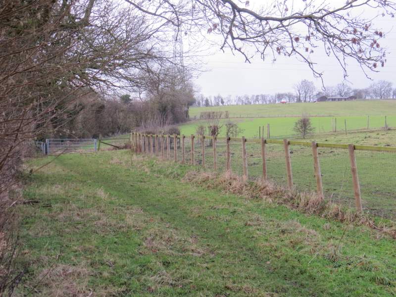
The drive from Nobles Farm
The drive from Nobles Farm, passing through Allnutt's Wood
The path after I turned left in Allnutt's Wood

View towards Bledlow Ridge from the edge of Allnutt's Wood
I went over a stile in the paddock corner, and turned left along Slough Lane. This soon turned left, and a few yards further on I took a footpath on the right that gradually led up Bledlow Ridge, following a hedgerow on my left. There were soon sheep pastures and paddocks to my right. Near the top of the slope I joined the drive from a house (it must have spectacular views along and across this valley) and followed it to reach a minor road, where I turned right to enter the village of Bledlow Ridge.
The start of the path up to Bledlow Ridge (which is both the name of the hill and of the settlement along its top)
Looking back from the path up to Bledlow Ridge