Pete's Walks - Pitstone Hill, Dagnall, Ashridge (page 2 of 6)
If you are considering walking this route yourself, please see my disclaimer. You may also like to see these notes about the maps and GPX files.
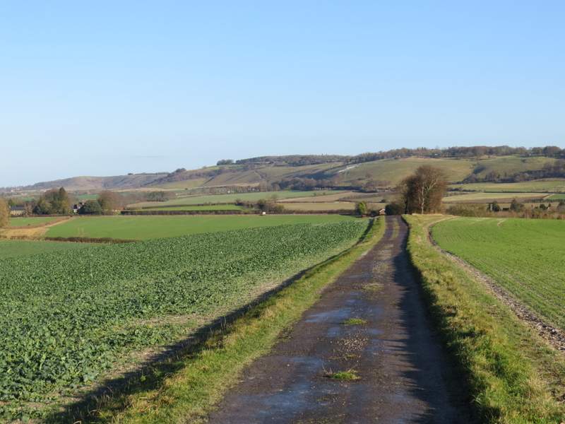
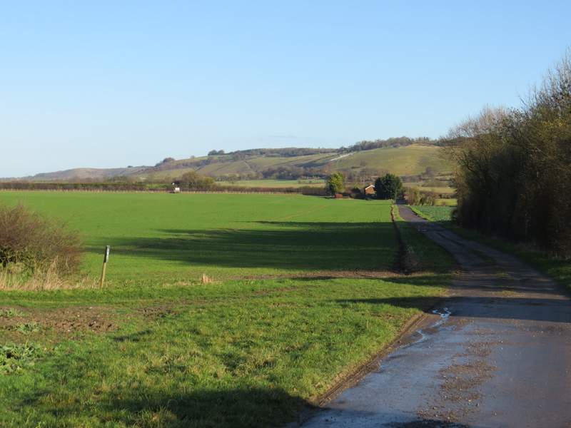
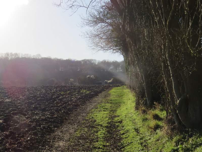
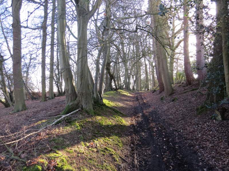
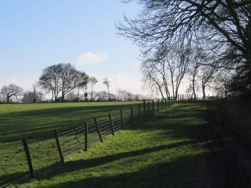
I turned left, leaving the yard and starting a long and gentle descent towards Dagnall. I went through another sheep pasture, then continued with an embankment on my left where many attractive beech trees grew. All the while there was a fine view ahead of me towards Dagnall, in a valley with a steep slope behind it. After a while I went through a gate, continuing along the edge of a field to pass a property named Hog Hall on the OS map, then joining its drive and continuing gently downhill. I could now see the long line of Dunstable Downs and Whipsnade Downs ahead of me (the giant chalk figure of a White Lion at Whipsnade Zoo still looked pretty disheveled, its rear end hardly visible). On eventually reaching a road, I turned right into the village of Dagnall (rejoining the route I walked previously). I'd earlier heard some sirens and there'd obviously been some sort of incident, as when I went straight on at a roundabout the road to the left was blocked by two fire engines, an ambulance and a couple of police cars.
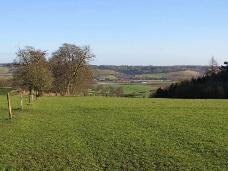
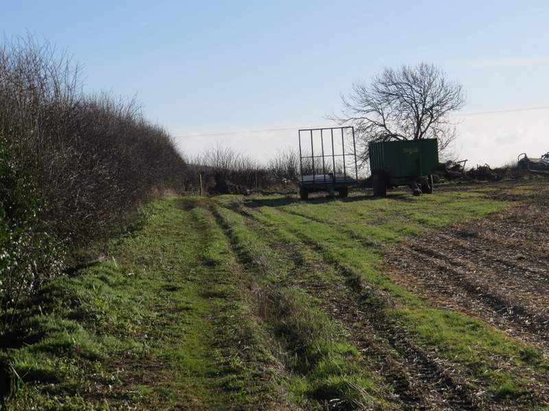
Near the start of the path from Ward's Hurst Farm to Dagnall
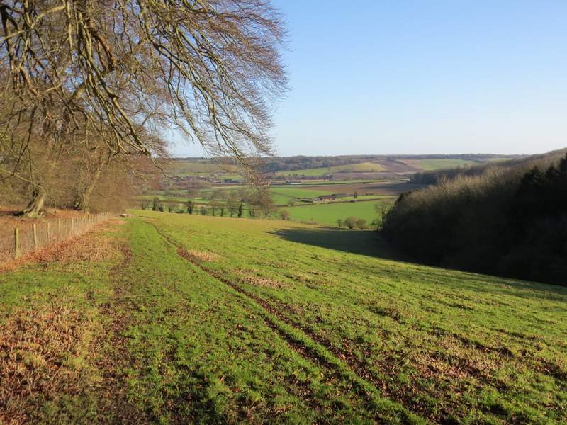
The path from Ward's Hurst Farm to Dagnall
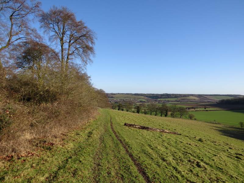
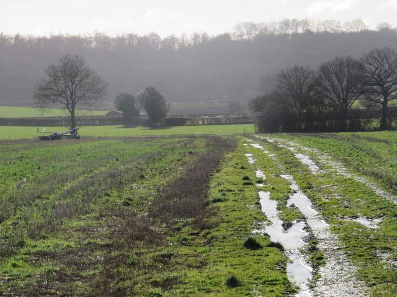
The path from Ward's Hurst Farm to Dagnall
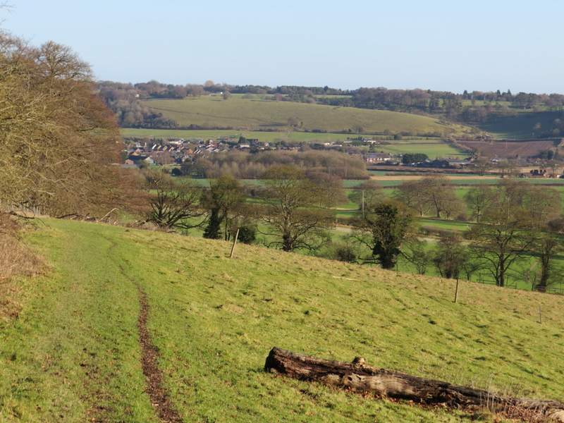
The path from Ward's Hurst Farm to Dagnall
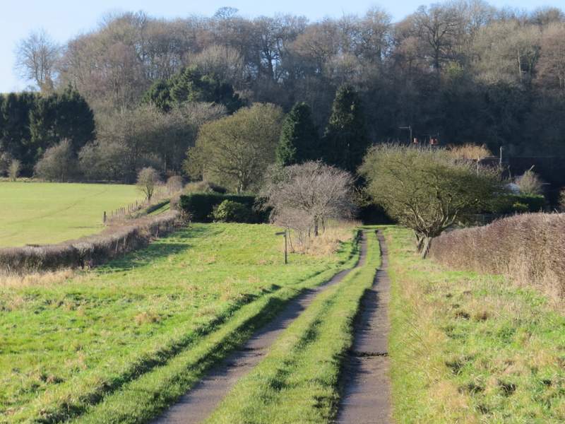
The path to Dagnall continuing along the drive from Hog Hall
The path to Dagnall continuing along the drive from Hog Hall
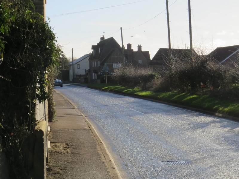
Dagnall
A hundred yards or so after the roundabout, I took a footpath on the right., which ran along the edge of a field with a bungalow and then a farmyard to my left. It then turned left, passing another side of the farmyard and still with the same field on my right (this path has been officially diverted, it used to run through the garden of the bungalow and across the farmyard). The path then continued along a track between fields, merging with a bridleway at the end of the first field on my left. The bridleway was soon running beside a hedge on my right, and then turned right along the drive to Well Farm. After about a hundred yards the bridleway went left, again following a hedge on my right which almost immediately turned half-right. When this hedge turned right, the bridleway continued straight on over a ploughed field (there was some Old Man's Beard (Wild Clematis) on the hedge ahead of me, lit up in the bright sunshine).
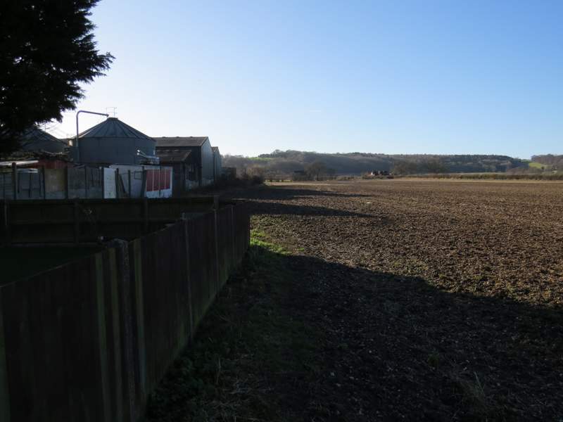
The start of the path from Dagnall to Little Gaddesden
The path from Dagnall to Little Gaddesden
The path from Dagnall to Little Gaddesdens (it joins a bridleway where it meets the hedge coming in on the right)
The bridleway on the drive to Well Farm
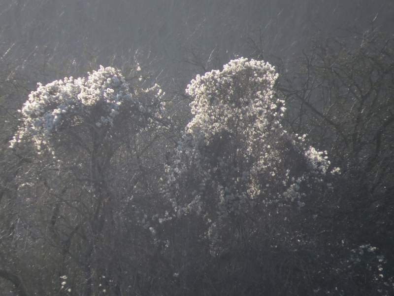
'Old Man's Beard' or Wild Clematis, lit up by the sun
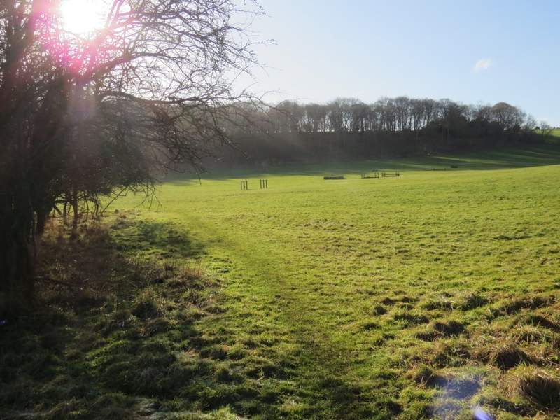
The bridleway continuing towards Hoo Wood
I then entered a huge meadow with a number of horse jumps in it, where I was disappointed not to see any deer (there's usually a good number of thenm here). On the other side of this field, the bridleway went through a couple of gates then continued uphill through a wood (I always refer to it as Hoo Wood, the only name I can see on the OS map, but that name's the other side of a boundary line so this part of the wood could be called something else), then ran between a fence and some garden fences with a huge pasture sloping down to my left. Through a gate, the bridleway finally turned right and ran about another hundred yards towards a gate, beyond which was the road through Little Gaddesden.
The bridleway continuing towards Hoo Wood
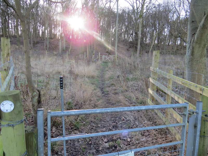
The bridleway entering Hoo Wood
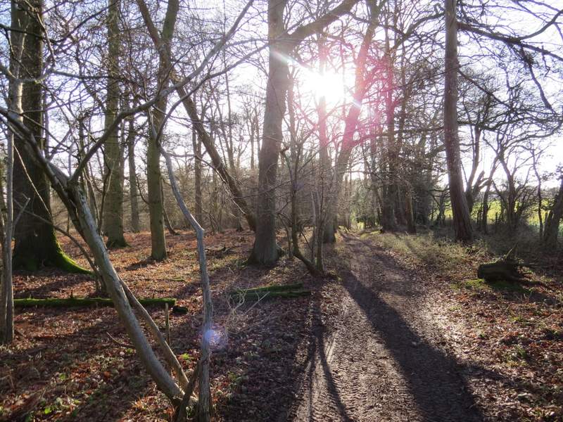
The bridleway continuing through Hoo Wood
The bridleway continuing through Hoo Wood
The bridleway continuing from Hoo Wood