Pete's Walks - West Wycombe and Moorend Common (page 2 of 6)
If you are considering walking this route yourself, please see my disclaimer. You may also like to see these notes about the maps and GPX files.
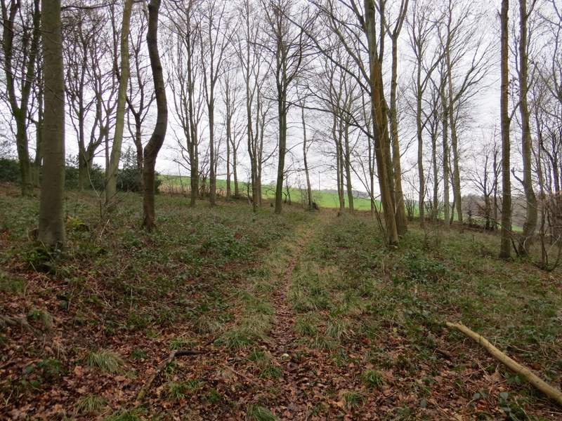
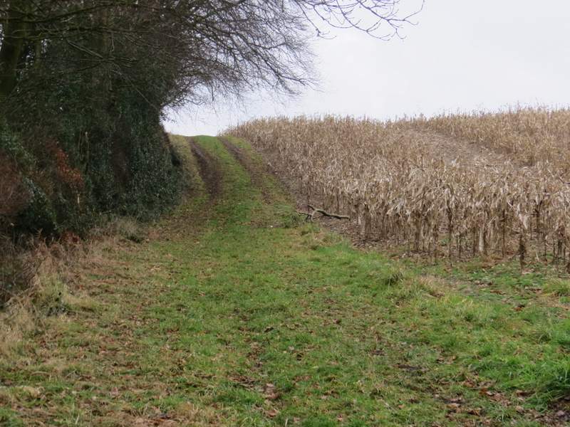
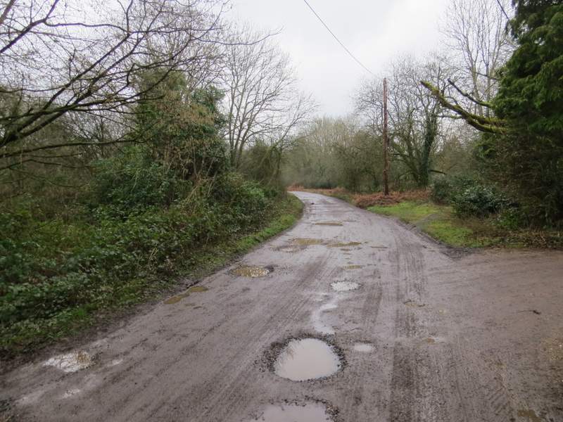
On reaching Barn Wood I turned left at a path crossing (this was the start of the first section that was new to me in this direction), the path going gently uphill through part of the wood. I soon reached another path junction where I forked right, the gradient remaining gentle. I soon reached the far side of this part of the wood, where the path turned left alongside the wood. There was then a very short steep section (the steepest part of the whole walk) to reach the top of the hill by a corner of the wood. I turned right here, along a farm track between arable fields. At one point I turned round to see the views behind me, and spotted two Roe Deer crossing the track behind me.
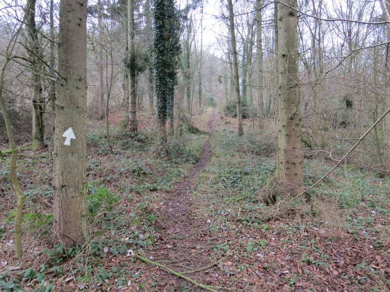
The start of the path going left through Barn Wood
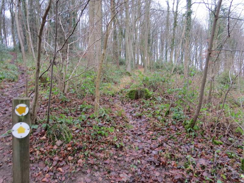
The junction in Barn Wood where I forked right
The path approaching the edge of Barn Wood
The path continuing uphill beside Barn Wood
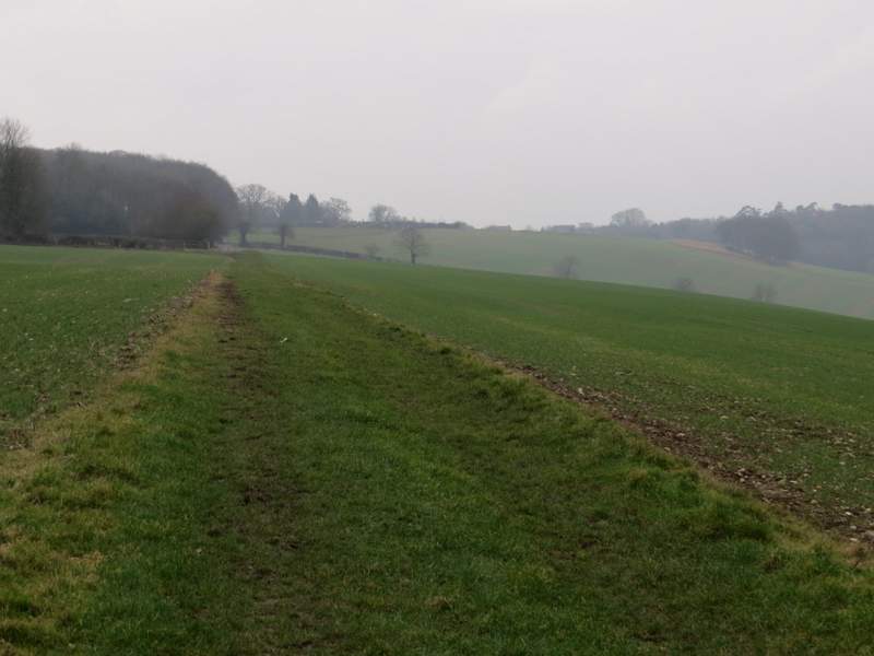
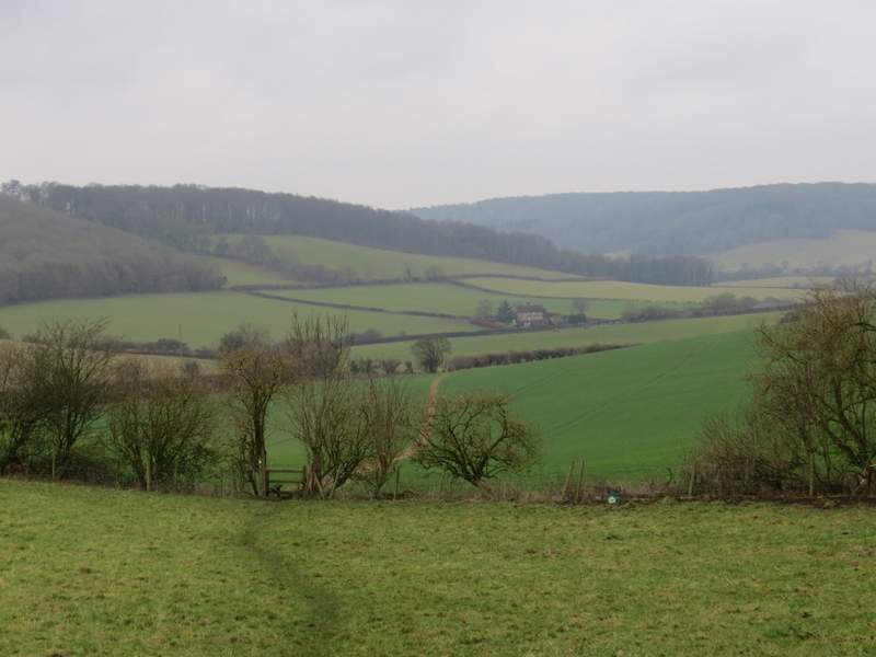
The path along the hill top
The path along the hill top
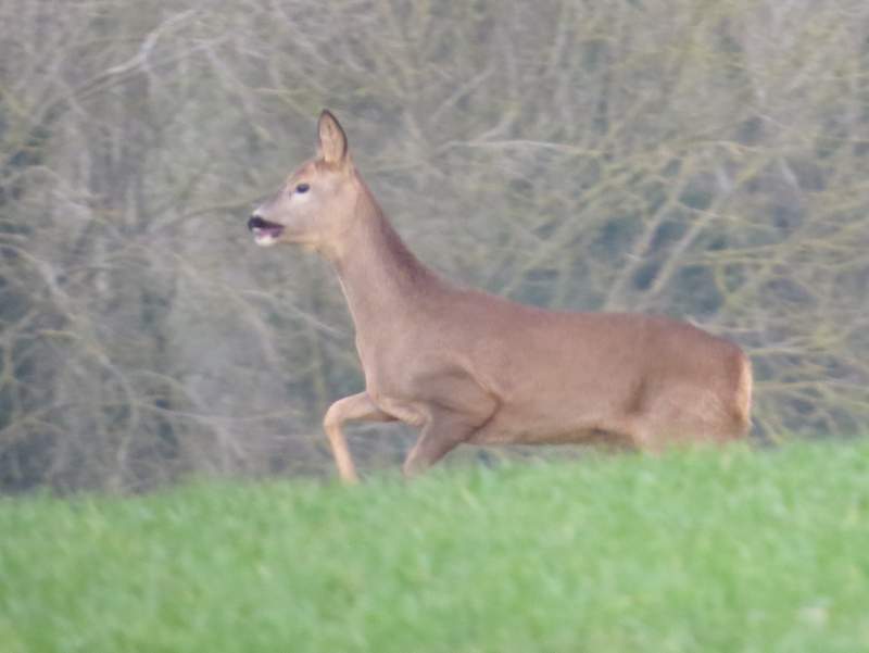
A Roe Deer
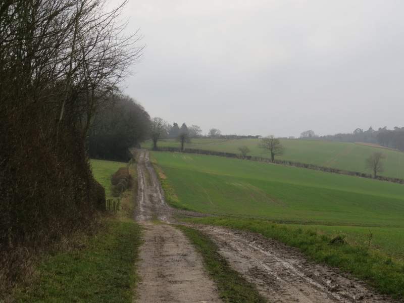
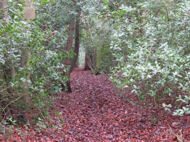
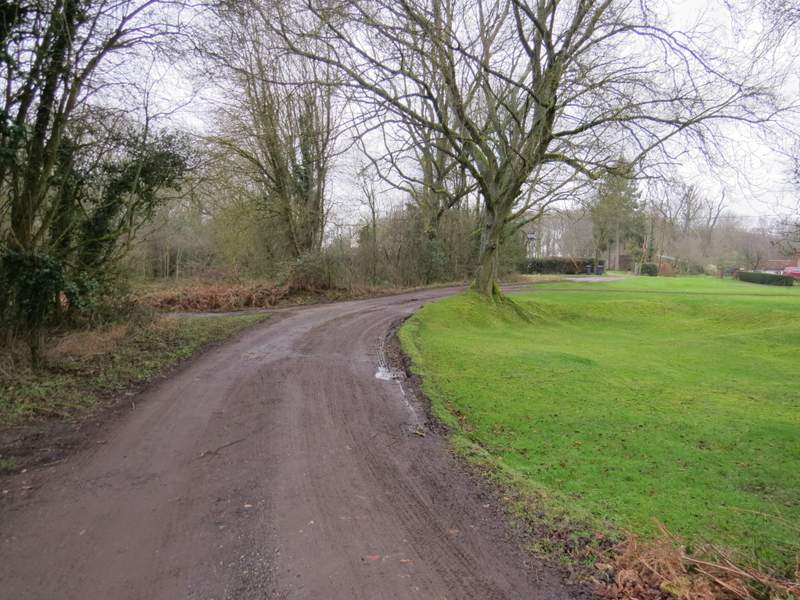
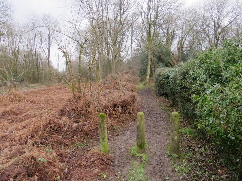
After several hundred yards I reached a path crossroads, where I turned left along a path through a holly-infested tree belt (I was now back on slightly more familiar territory). I went through a couple of gates either side of a gap in the tree belt, then soon after emerged in the corner of a very muddy paddock. The path followed the right edge of the paddock to a gate in a hedge, then turned right along the drive from Watersfoot Farm. At the end of the drive (where a lane started, going left), I turned right along a bridleway (along another drive) - I was now on Cadmore End Common, and was starting the second short section I'd not walked in this direction before. The bridleway soon turned right at a junction with a similar drive, but equally soon turned left. I went straight on where a couple of bridleways went left, continuing a short distance through a wood. Here I spotted a Muntjac, and immediately wondered whether I might go on to see some Fallow Deer and thus make it only the second time I'd seen three types of deer on one of my walks. The path then joined another drive (where I went left), quickly merging with another one coming in sharply from my left. When a path came in from the left I was back on a familiar route again. The drive ended when it met a wider, better surfaced, drive, opposite a farm. Here I turned left to cross the M40 and reach the road through Cadmore End.
The path after I turned left

The path approaching the drive from Watersfoot Farm
The bridleway on Cadmore End Common
The bridleway after it turns right at a track junction
The bridleway on Cadmore End Common
The bridleway on Cadmore End Common
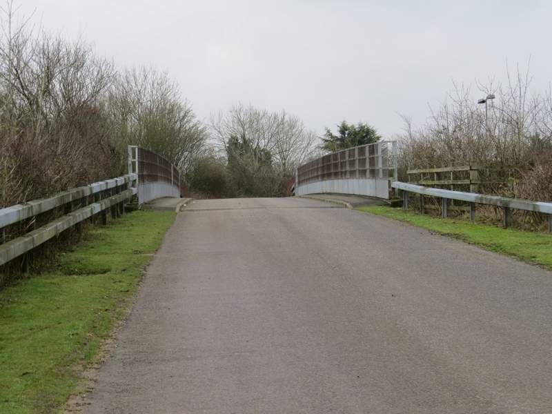
Approaching the bridge over the M40
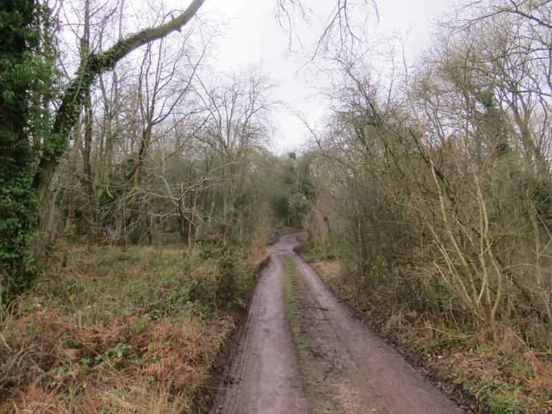
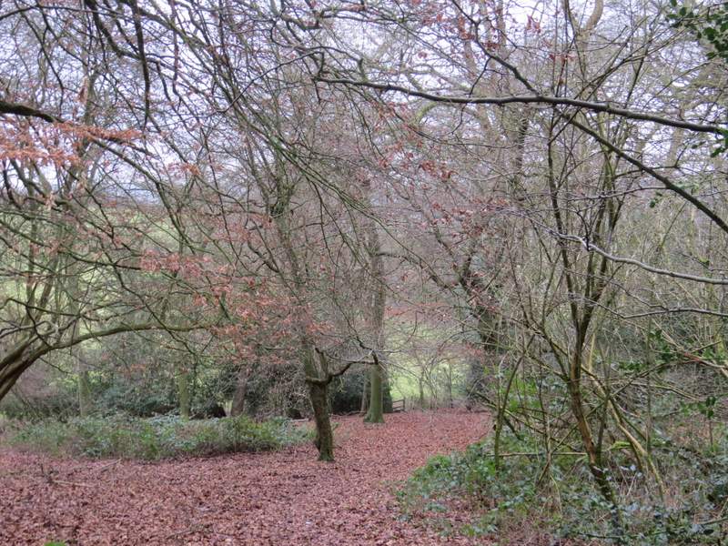
I crossed the road and went down the drive towards Rackley's Farm. A waymark soon indicated where the footpath went right, and I saw young trees had been planted along the left edge of the path. The path soon ran between a fence and a hedge on my right. After a while the path entered a wood, dropping downhill and then leaving the wood and crossing a corner of a large pasture. The path then continued across a large arable field to a hedge corner, where I turned left alongside the hedge.
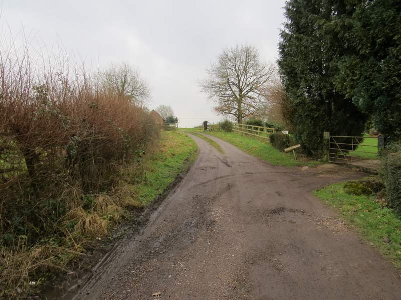
The drive to Rackley's Farm
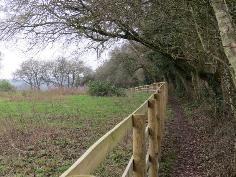
The path from Rackley's Farm
The path from Rackley's Farm
The path from Rackley's Farm (I turned left by the second hedgerow)