Pete's Walks - Gaddesden Row and Briden's Camp (page 2 of 3)
If you are considering walking this route yourself, please see my disclaimer. You may also like to see these notes about the maps and GPX files.
(I used Alternative 1 as shown on the map)
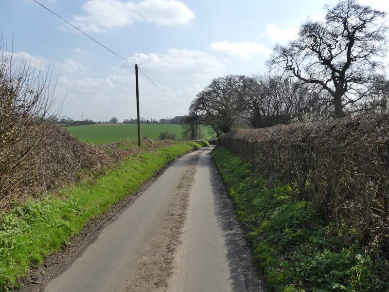
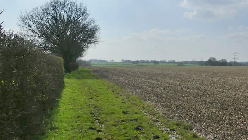
I turned right along Green Lane (I assume that is its name as it passes Greenlane Farm) and immediately spotted a couple of clumps of Wood Anemones. I followed the quiet lane for about half a mile to reach a T-junction with Gaddesden Lane. I again turned right, carefully following the lane around a couple of bends and then taking a bridleway on the left.
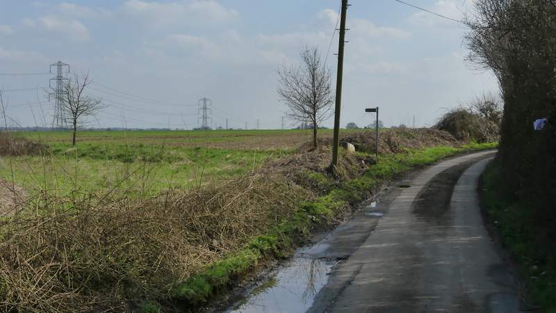
The start of the section along Green Lane
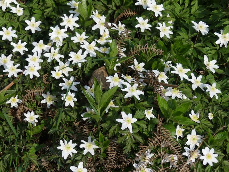
Wood Anemones
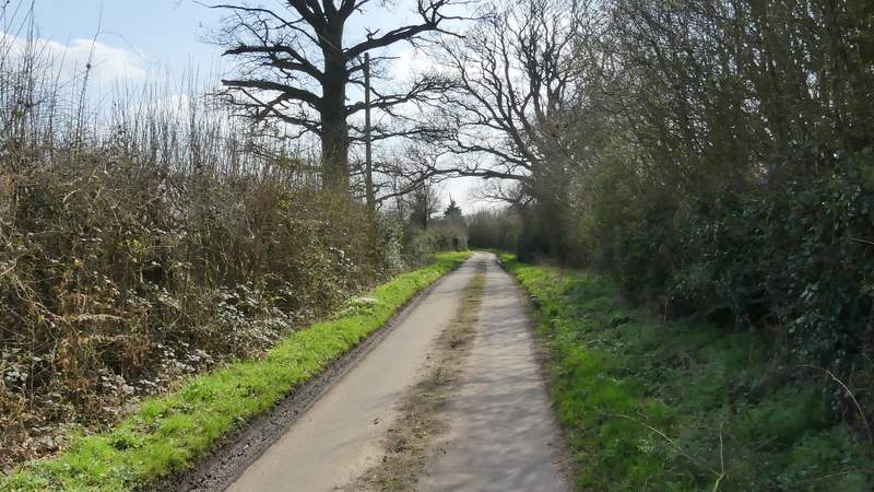
Green Lane
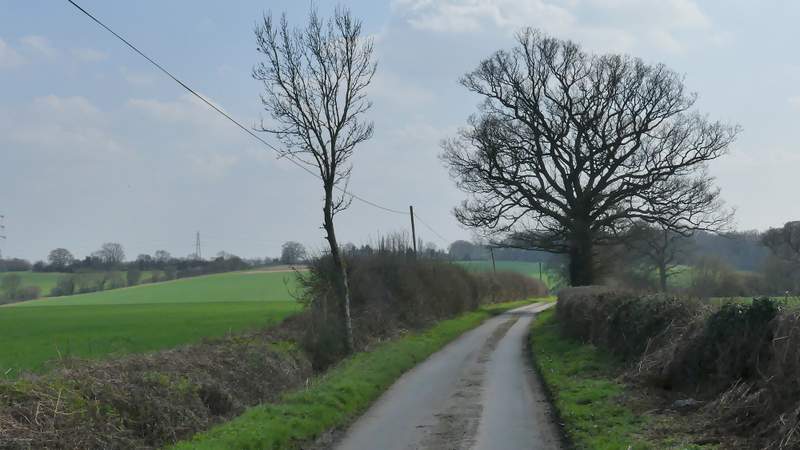
Green Lane
Green Lane
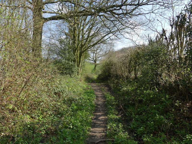
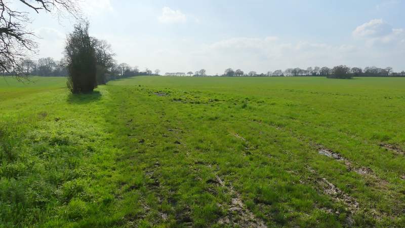
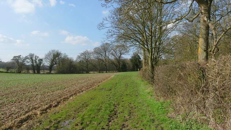
The bridleway after I turned left from Gaddesden Lane
After a couple of hundred yards, the bridleway ran through a narrow wood. On the far side I turned right along a bridleway on a farm track (not the path going sharply right, back into the wood) - the map shows the bridleway starting a little further on and going through fields before joining the track later on, but it must have been diverted as there is no evidence on the ground of such a route. The paths had generally been very muddy, and this long track was the worst section yet. I followed it for over half a mile, to eventually reach Cupid Green Lane.
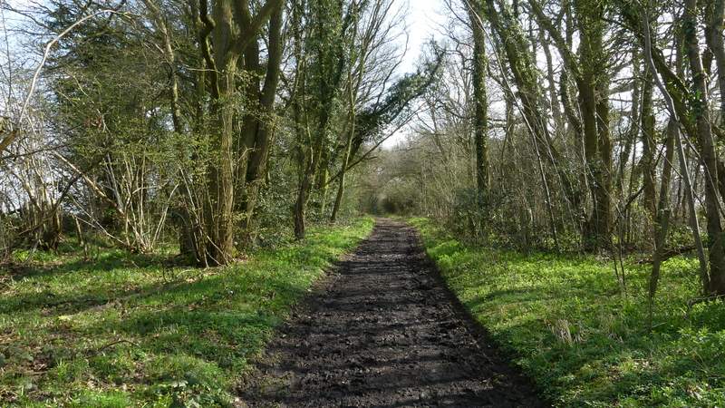
The bridleway after I turned left from Gaddesden Lane

The bridleway after I turned left from Gaddesden Lane
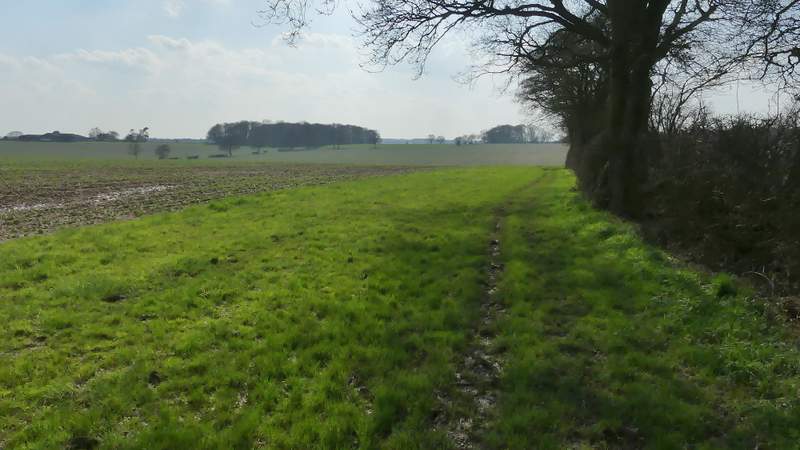
The bridleway after I turned right, heading to Cupid Green Lane
The bridleway after I turned right, heading to Cupid Green Lane
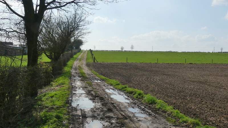
The bridleway after I turned right, heading to Cupid Green Lane
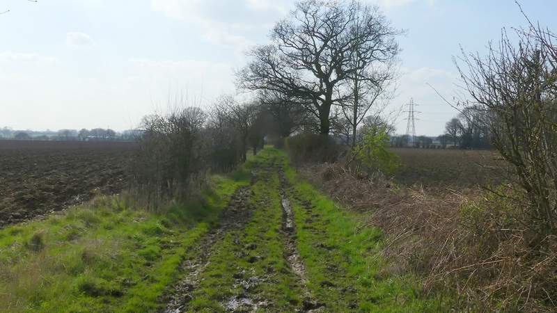
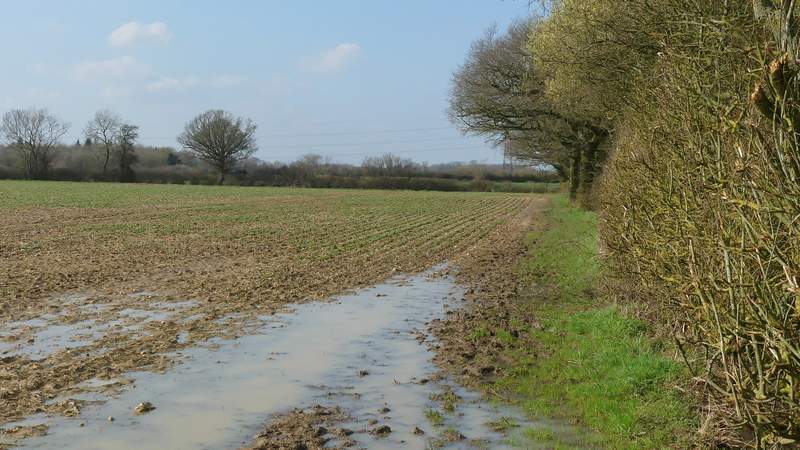
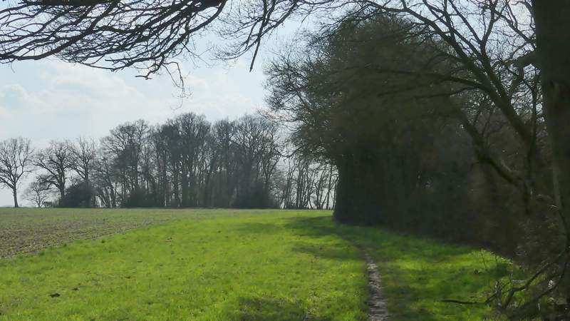
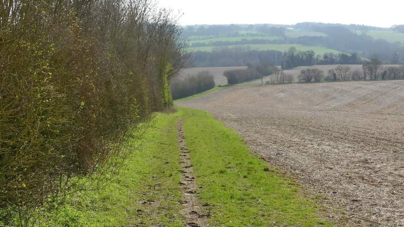
Across the lane, the bridleway continued beside a hedgerow on my left for almost half a mile, with large arable field on my right - the bridleway was on a grass margin about 20 yards wide at the side of the field, but was again very muddy. On eventually reaching the field corner the bridleway turned right along the far side of another hedge - this wasn't just muddy, there were large puddles that had to be navigated around. I turned left in the next corner, and after a few hundred yards the bridleway and hedge again turned right. In the next corner, I turned left for the second time at a bridleway T-Junction. After about another half a mile I passed a small copse on my left called Garmer Spring, beyond which the bridleway descended by a hedge on my left, with a nice view ahead over the Gade valley towards Nettleden.
The bridleway continuing westwards after crossing to Cupid Green Lane
The bridleway after it turns right the first time
The bridleway after it turns left the first time
The bridleway after it turns right the second time
The bridleway from where it turns left the second time
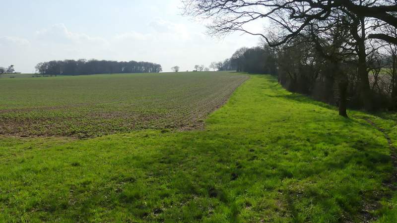
The bridleway continuing westwards

The bridleway passing Garmer Spring
The bridleway descending towards the Gade valley (I turned right along the hedgerow going right)