Pete's Walks - Great Kimble and Bacombe Hill (page 4 of 4)
If you are considering walking this route yourself, please see my disclaimer. You may also like to see these notes about the maps and GPX files.
(I used Alternative 1 as shown on the map)
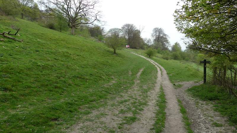
At the monument I stayed with the Ridgeway as it turned left, to head south with a steep slope going down to my right. I soon stopped to eat my lunch on a bench here - after a bright morning it had now clouded over and I was worried that there might be some rain coming. As I then continued south along the hilltop, I got a view of Chequers, as well of Beacon Hill. After a few hundred yards the Ridgeway went through a metal kissing gate and continued through a wood on what was now Lodge Hill. On reaching a road (the one going to the Coombe Hill car park), I turned right and followed it downhill for about a hundred yards before the Ridgeway turned left. There was then a fairly level stretch of about half a mile through Linton's Wood and then Goodmerhill Wood, with fingerposts and white acorn symbols showing the route at various path junctions. The Ridgeway then turned right along a track, which soon dropped downhill and then left the woods, continuing on a short way through a tree belt to reach a road at Buckmoorend.
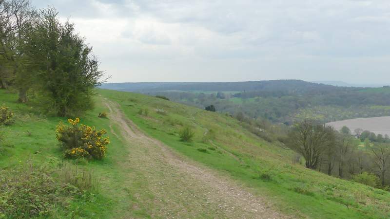
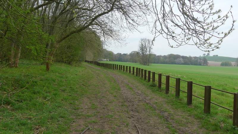
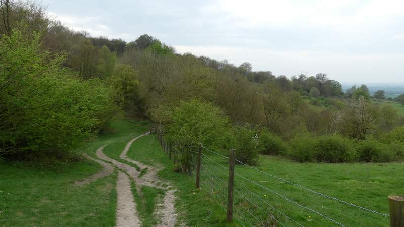
The Ridgeway continuing south on Coombe Hill
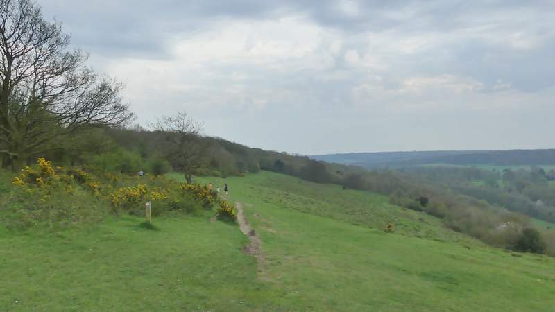
The Ridgeway continuing south on Coombe Hill
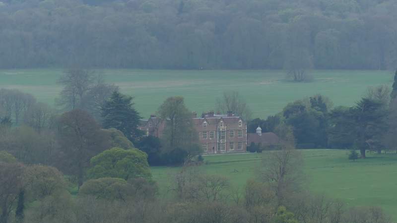
Chequers, from the Ridgeway on Coombe Hill (my usual shot of Chequers, which is coming up soon, is taken from the edge of Maple Wood in the background)
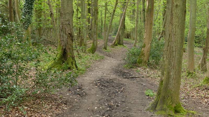
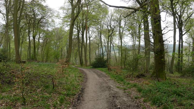
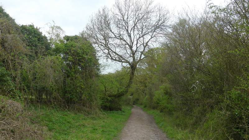
The Ridgeway in the wood on Lodge Hill
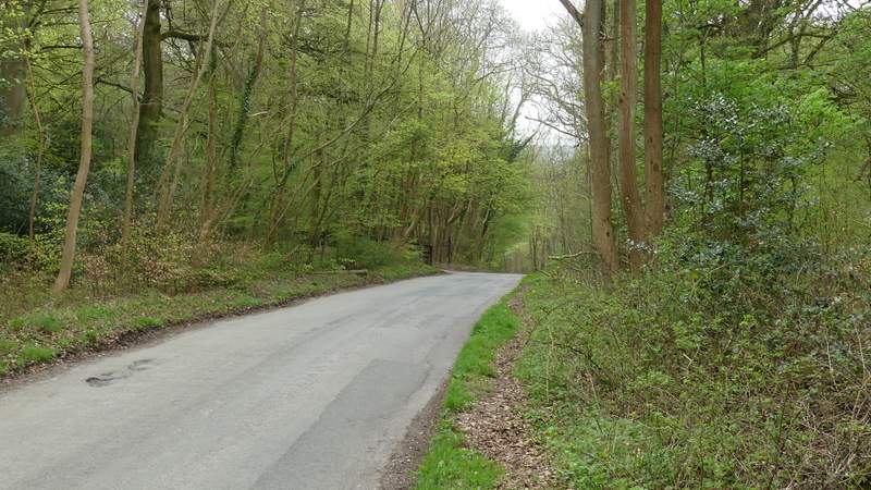
The short road section on Lodge Hill
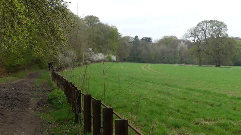
Linton's Wood
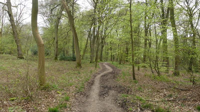
Linton's Wood
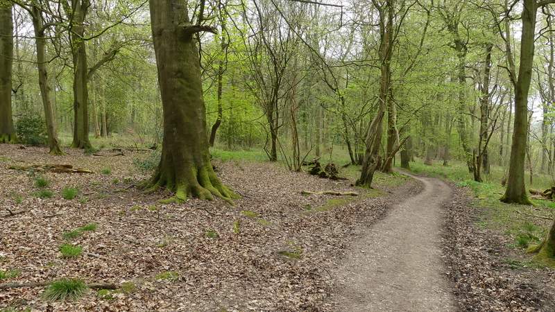
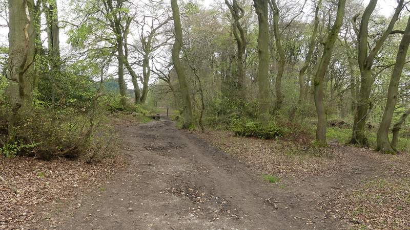
Goodmerhill Wood
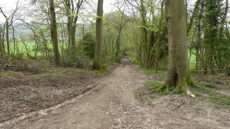
The Ridgeway after it turns right in Goodmerhill Wood
The Ridgeway descending towards Buckmoorend
Across the road a footpath continued across the grounds of Chequers, which was some way away to my right (it amused me to think that, despite all the high security, someone seems to have nicked the fences that used to be here!). I crossed the drive to the grand house, and continued on to reach Maple Wood, where the Ridgeway turned right and ran between the edge of the wood and a fence. Soon I was able to take my usual photo of Chequers, with Coombe Hill behind it.
The Ridgeway crossing the grounds of Chequers
The Ridgeway crossing the grounds of Chequers
The Ridgeway continuing past Maple Wood
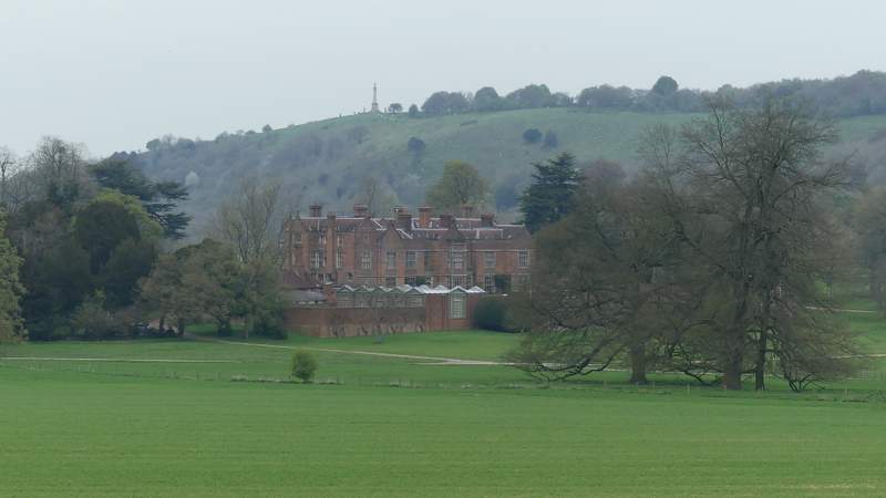
Chequers from the edge of Maple Wood (the previous shot of Chequers was taken from somewhere along the top of Coombe Hill to the right of the monument)
The Ridgeway continuing past Maple Wood
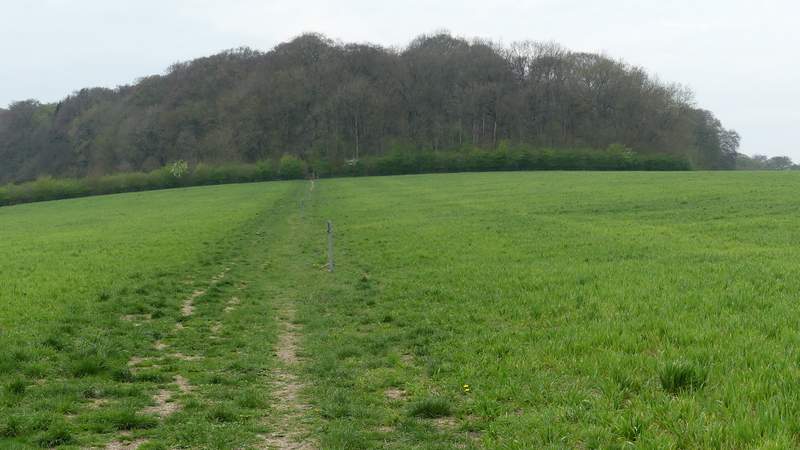
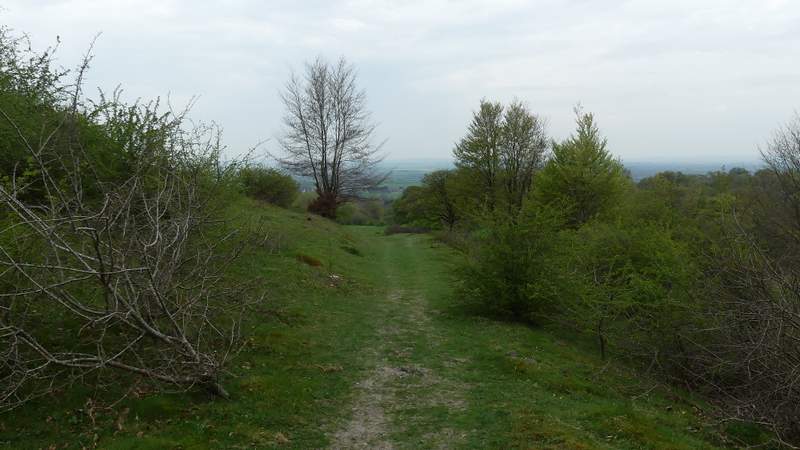
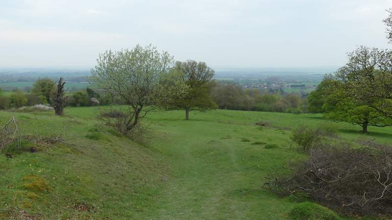
At the end of Maple Wood, the Ridgeway went through a gate and continued on across a large empty pasture. Through a gate on the other side I went straight on, initially beside a fence on my right. This path (named Cradle Footpath on the OS map) continued through an area of grass and bushes, then I took a path going right, through some bushes and passing immediately right of the hillock named Chequers Knap. This path continued downhill across a scrub-covered hillside, aiming for the bottom left corner. Here I rejoined the bridleway I'd started out on, turning right and following it downhill back to Great Kimble.
The Ridgeway continuing from Maple Wood
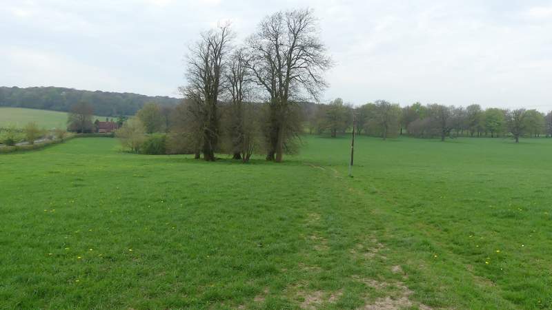
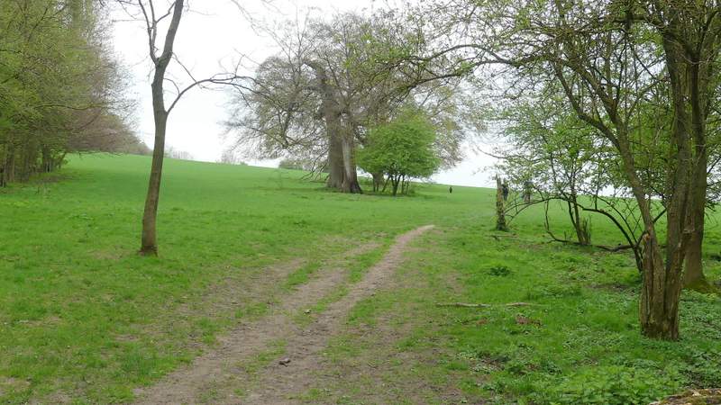
The Ridgeway approaching Chequers Knap
The Ridgeway approaching Chequers Knap
The path downhill from beside Chequers Knap
The path downhill from beside Chequers Knap
The bridleway back down to Great Kimble (the same one I'd started out on)
It was a shame it clouded over about 1pm, it had been such a nice sunny morning. It was a real joy to be out in the woods on such a lovely Spring day!. I enjoyed the walk very much, it was just what I wanted today, and I'm sure I'll follow this route again sometime.