Pete's Walks - Shortened version of Ashridge Estate Boundary Trail (page 1 of 5)
If you are considering walking this route yourself, please see my disclaimer. You may also like to see these notes about the maps and GPX files.
Google map of the walkDownload GPX file of the walk
I did this circular walk of about 12.9 miles on Friday, 29th June 2018. It was a shortened version of the 16-mile Ashridge Estate Boundary Trail which I've walked many times before. I followed the route anti-clockwise, and the reason I shortened it was because it was a very hot day and I was concerned about the effects of the heat (perhaps I'm finally becoming sensible in my old age!). I chose this route today because much of it is in the shade of trees, and because there were numerous ways where I could cut it short.
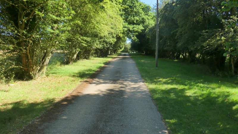
I parked at Ashridge, in the small car park a few hundred yards south of Ringshall (grid reference SP 983137), and started walking at roughly 9.35am. I followed the broad path from the car park through the woods of Ashridge, going straight on at a path crossroads, then taking the next path on the right. About a hundred yards down this I turned left, then after another one or two hundred yards I turned right, with a larger car park now close by on my left. This path soon brought me to a road on the edge of Ringshall (to my right).
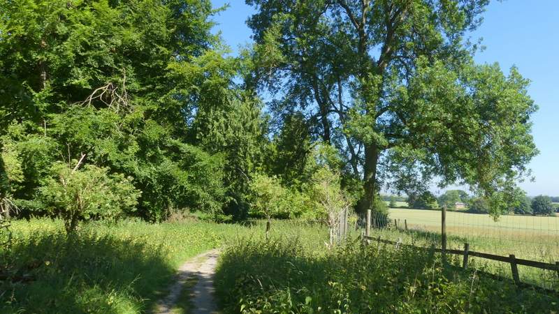
The path going northwest from the car park near Ringshall
The path after I turned right (SECOND path on the right)
The path after I turned left
The path after I turned right, close to a car park on my left
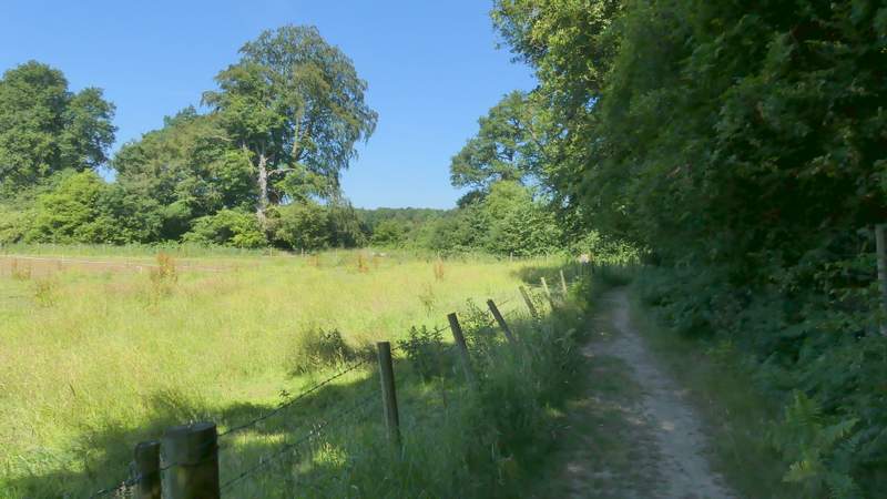
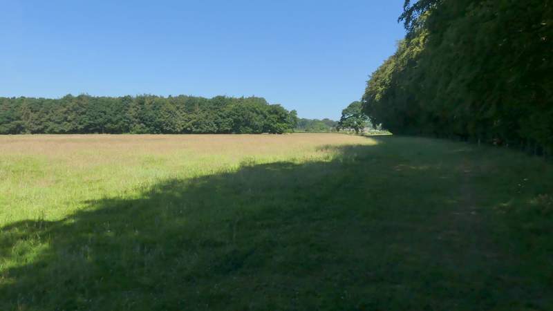
Across the road a path continued down a drive, passing a couple of cottages, and then turning left behind a small reservoir. The path then ran between fences with Ringshall Coppice on my right. When the path then went through a gate into a large pasture, I spotted a Fallow Deer ahead of me close to the wood (it soon jumped a fence into the wood). The path moved slightly left, away from the wood as it crossed the pasture, then continued across three more empty sheep pastures to reach Ward's Hurst Farm.
The path along the drive on the edge of Ringshall, after I crossed the road
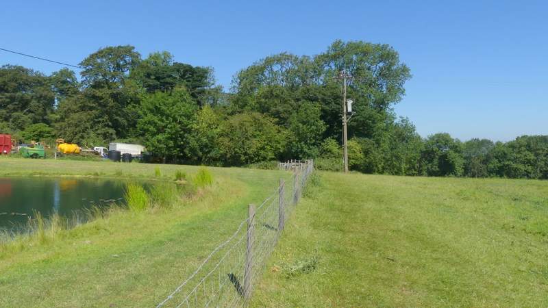
The path shortly after it turned left behind a small reservoir
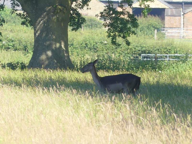
A Fallow Deer on the path to Ward's Hurst Farm
The path to Ward's Hurst Farm
The path to Ward's Hurst Farm
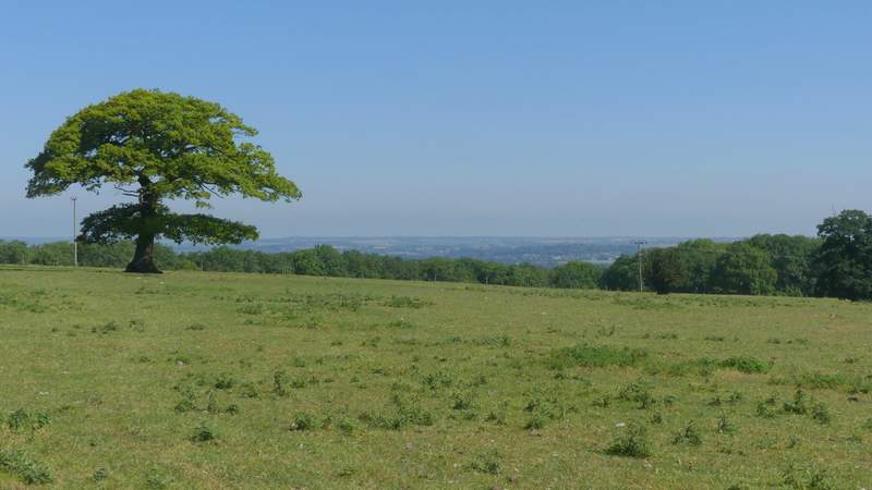
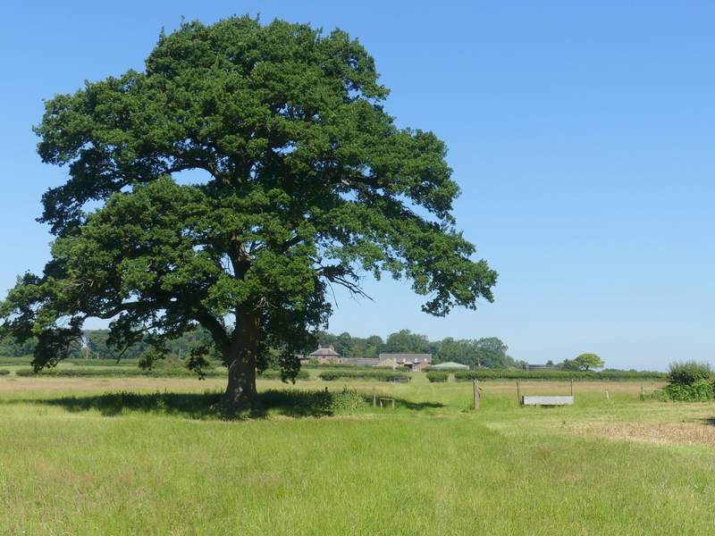
View from near Ward's Hurst Farm
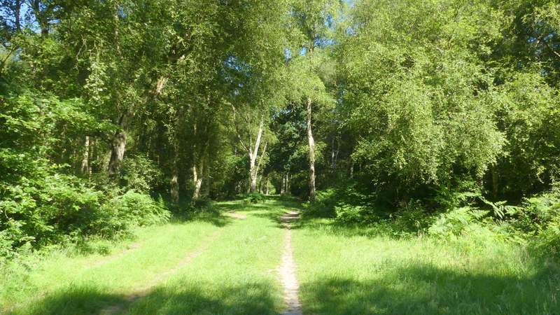
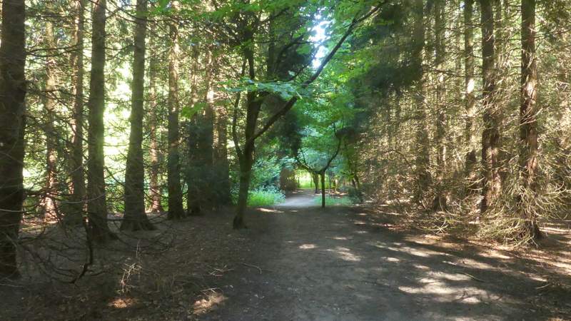
The clearly waymarked path continued straight on through the yard of Ward's Hurst Farm, then went through a gate and followed the left edge of another sheep pasture a short distance to reach a wood (the only name on the OS Map is The Coombe). The path, part of the Icknield Way, then dropped down a steep flight of wooden steps - there was a smell of here, although the Wild that grows in abundance here had long since died off. At the foot of the steps, the path continued on, soon entering a coniferous section of the wood, with the trees planted in straight lines - I almost missed a turn here, because it's always dark here and I foolishly kept my sunglasses on. On the other side of the conifers the path continued through the wood for about a quarter of a mile.
The path continuing from Ward's Hurst Farm
The path descending the steps in The Coombe
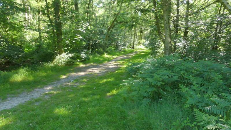
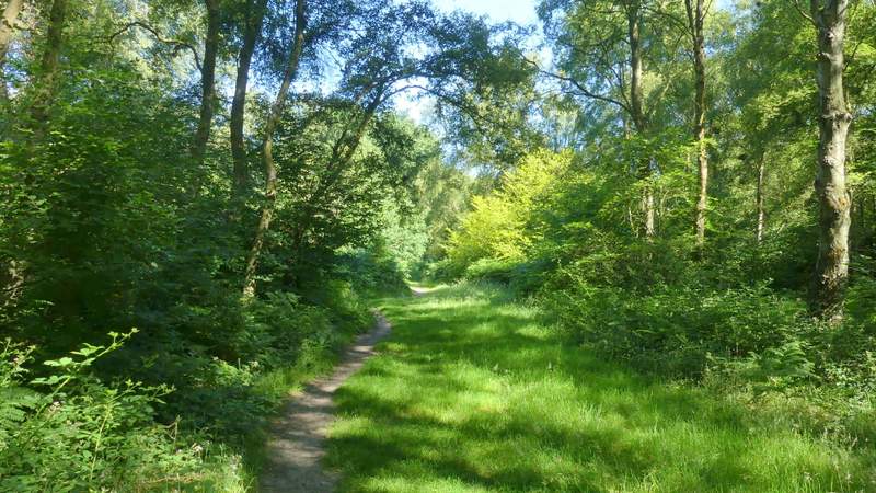
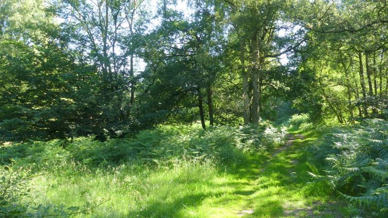
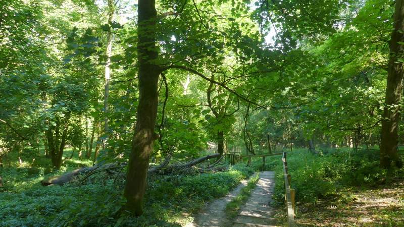
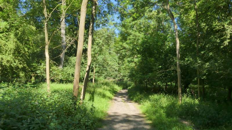
The path continuing through The Coombe
The path continuing through The Coombe
The path continuing through The Coombe
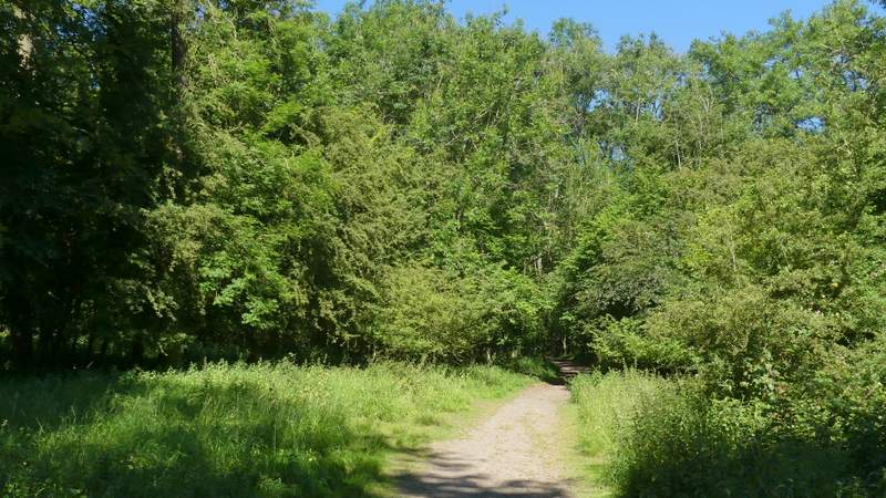
The path continuing through The Coombe