Pete's Walks - Sonning Common and Mapledurham (page 3 of 5)
If you are considering walking this route yourself, please see my disclaimer. You may also like to see these notes about the maps and GPX files.
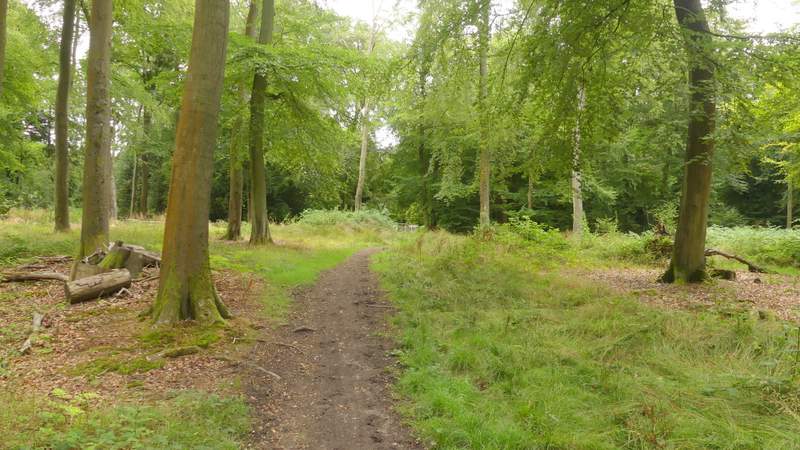
Eventually I reached metal kissing-gate in the hedge on the right (this was shortly before I'd have reached a wood on that side). Through the gate a path led steeply up a grassy slope (there was a fence on my right, I'm not sure how long that's been there). On reaching the top, I turned to admire the view over the Thames Valley, then continued into Westfordhill Copse where the footpath went right at an apparent fork. Very soon I moved into Bottom Wood, the path descending gently over about a third of a mile to reach a valley bottom.
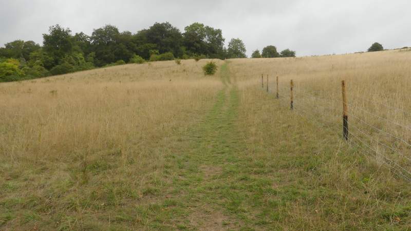
The steep path up to Westfordhill Copse
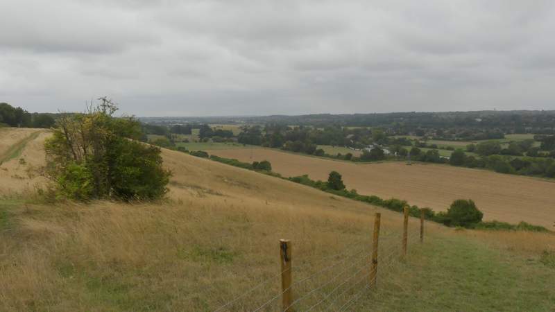
View back over the Thames Valley at Mapledurham
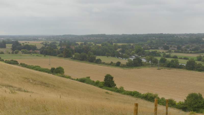
Zoomed-in view back over the Thames Valley at Mapledurham
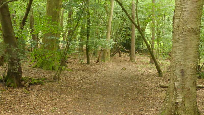
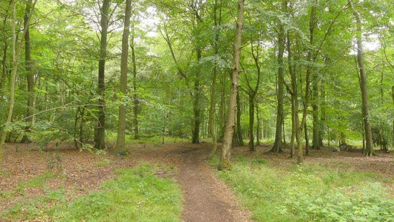
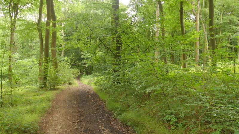
The path through Bottom Wood
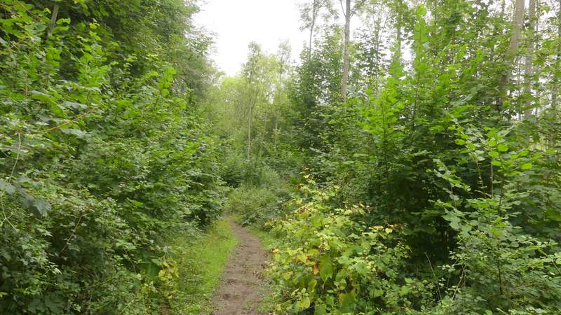
The path through Bottom Wood
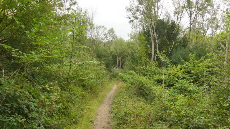
The path through Bottom Wood
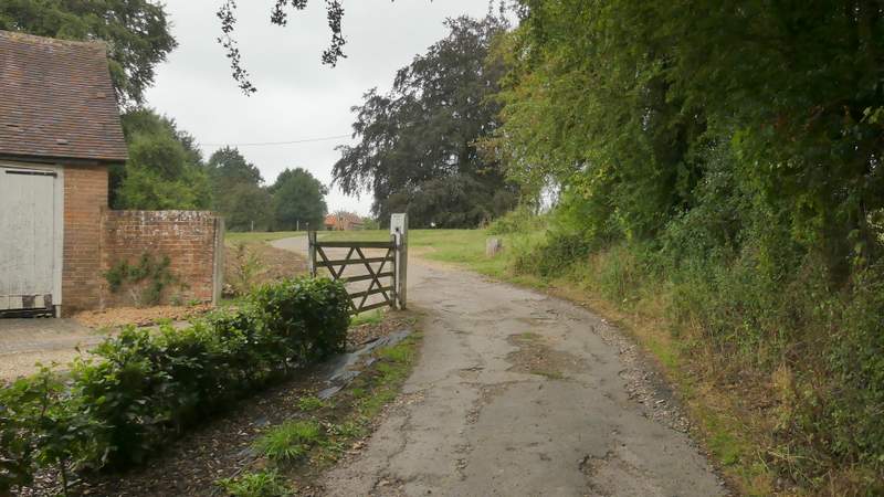
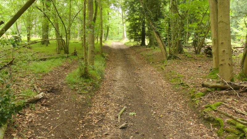
In this valley bottom I went straight on at a junction, in doing so joining a bridleway. Waymarks showed the way (there were a couple of permissive or other paths going left or right), as the bridleway rose up the other side of the valley (this was a longer uphill than I remembered) to reach the hamlet of Collins End. I continued along a drive through the hamlet, stopping to put on my waterproof jacket as there was briefly some heavy drizzle.
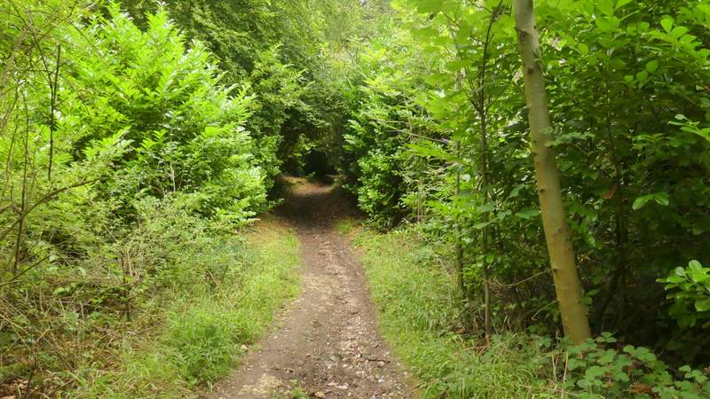
The bridleway up to Collins End
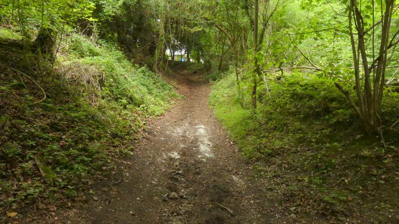
The bridleway up to Collins End
The bridleway continuing through Collins End
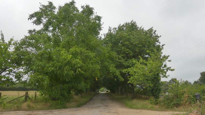
The bridleway continuing through Collins End
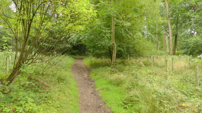
At the far end of a short avenue of trees I took a footpath on the right (there'd been another path on the right near the start of the avenue), which followed the left edge of the "Collinsend Community Cherry Orchard" (I'd just passed a noticeboard about it). Beyond this I went through a couple of gates in quick succession, close to a stable, then continued along the left edge of a paddock to reach a minor road. Across this road, I continued along a bridleway through Gutteridge's Wood, after a while this dropped down into a dip or small valley. As the bridleway rose the short way up the other side I think I was in Thicket Copse, then when the bridleway turned right I was in Nuney Copse.
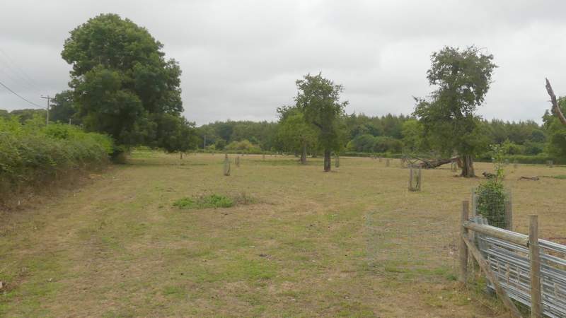
The path from Collins End (this is the Collinsend Community Cherry Orchard, which is being preserved - Cherry Orchards were once a significant business in parts of the Chilterns, but few now remain)
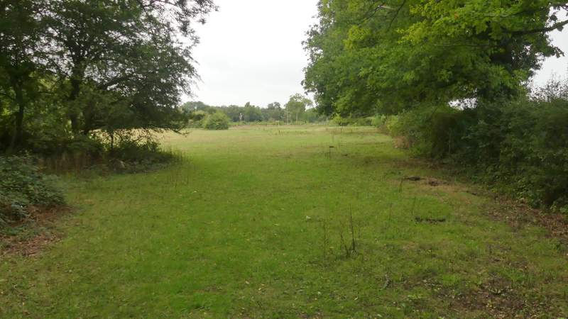
Looking back from the end of the path from Collins End (I didn't take a photo from the other side of this paddock as I was concentrating on going round a horse that seemed a little nervous at my sudden appearance)
The bridleway through Gutteridge's Wood
The bridleway through Gutteridge's Wood
The bridleway now in Thicket Copse
The bridleway now in Nuney Copse
The bridleway through Nuney Copse, approaching Nuney Green