Pete's Walks - Maidensgrove, Nuffield, Shepherd's Green (page 3 of 6)
If you are considering walking this route yourself, please see my disclaimer. You may also like to see these notes about the maps and GPX files.
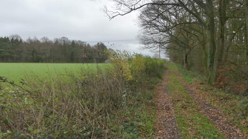
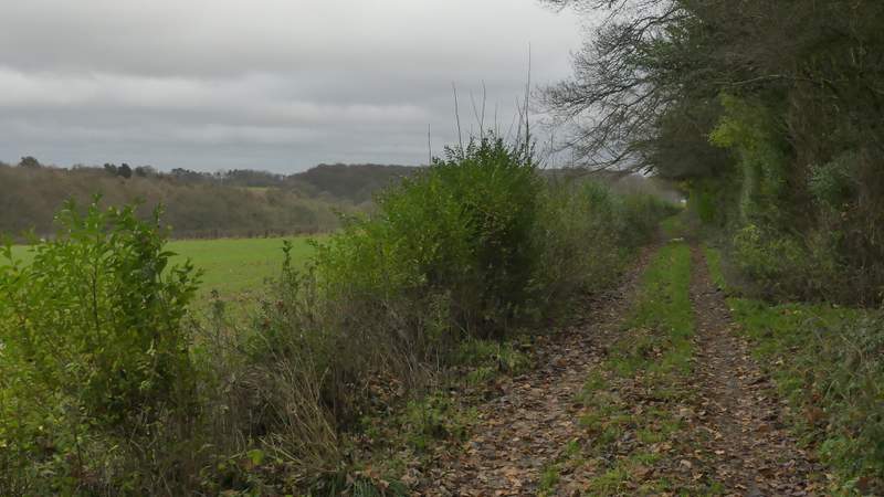
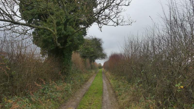
I turned left along the bridleway, which I would be following for over a mile to a place marked Howberrywood on the OS map. It ran in a more or less straight line, roughly southeastwards. It initially ran through a wood called Heycroft Shaw, continuing between hedges and fences. After about half a mile I came to a six-way junction of three bridleways and three footpaths, where I went straight on, the bridleway now following a track. At first there were tall hedges either side, then a low hedge on the left and a tree belt to my right. About half a mile from the path junction the track turned right for a short distance, then turned left to pass the farm at Howberrywood and continue down its drive.
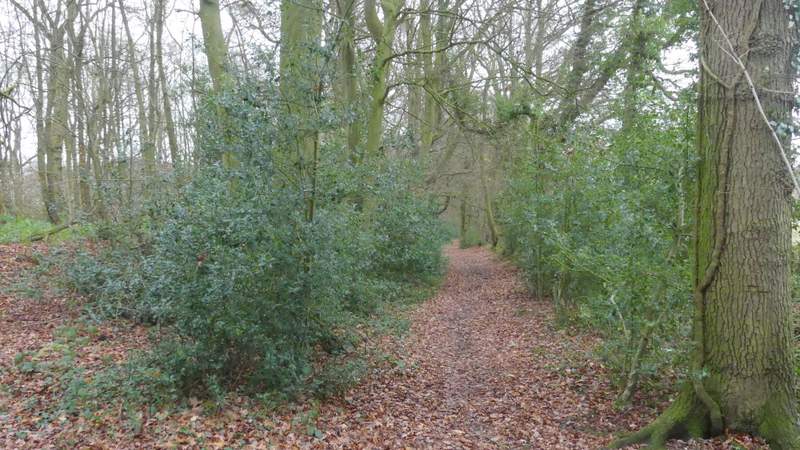
The bridleway to Howberrywood, after I turned left near Nuffield
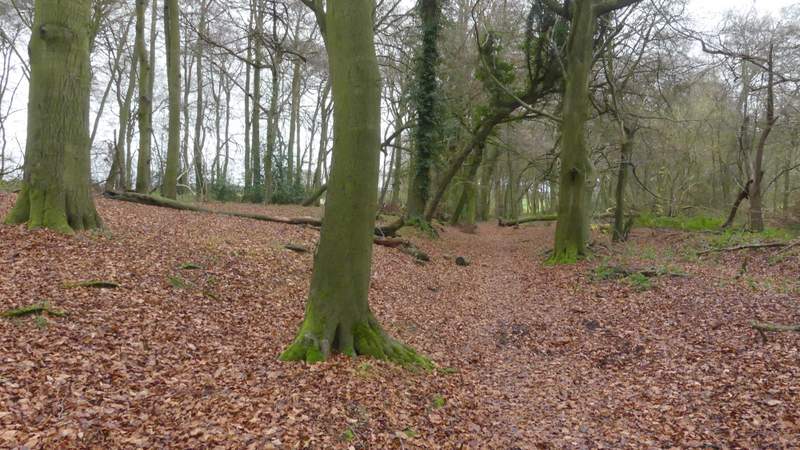
The bridleway to Howberrywood
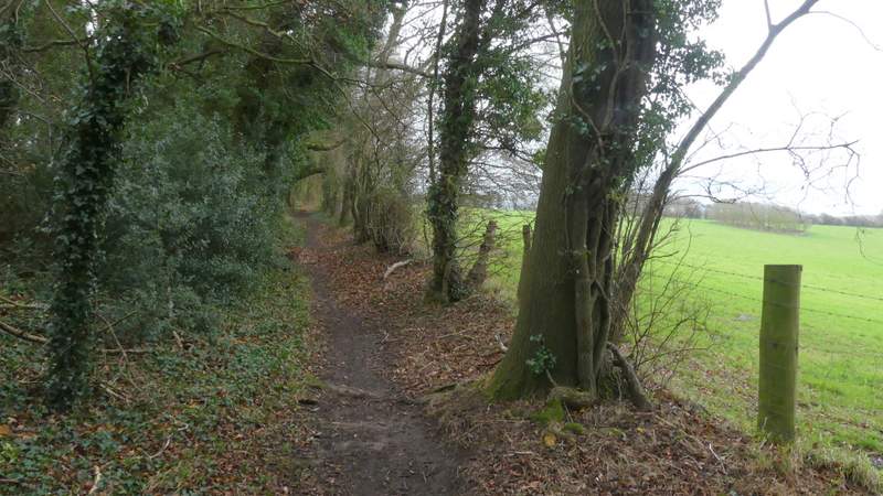
The bridleway to Howberrywood
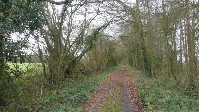
The bridleway to Howberrywood
The bridleway to Howberrywood
The bridleway to Howberrywood
The bridleway to Howberrywood
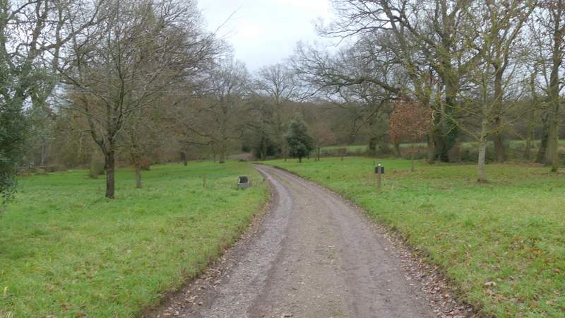
The drive from the farm at Howberrywood
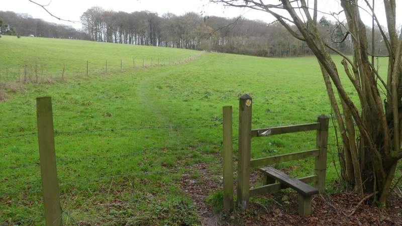
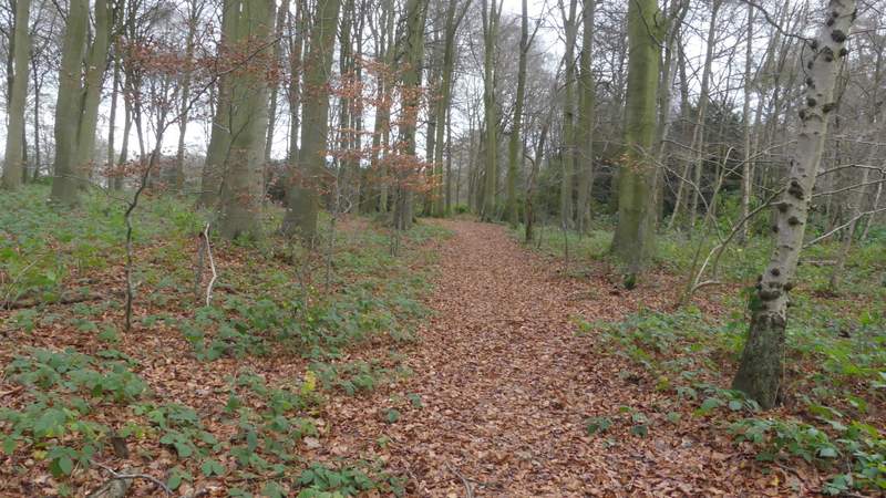
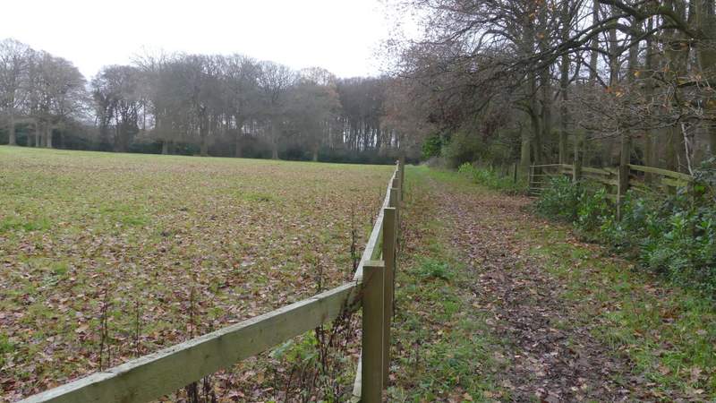
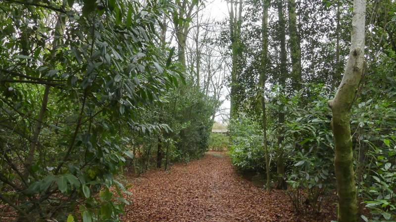
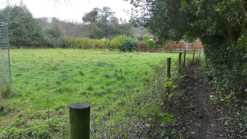
At a junction of tracks or drives I went straight on, then after a few yards turned left along a path into Nott Wood. This followed a track for a short way, then forked right and descended gradually through the wood into the bottom of a valley. The path left the wood at a stile, turning left and following a fence along the left edge of a field - there was a nice view to the right here, along the valley. The path then passed through a small wood, then ran between fences with paddocks to my left. It then ran through a bit more woodland, crossing a drive at one point. On reaching a path crossroads I turned left, soon reaching the road through Highmoor.
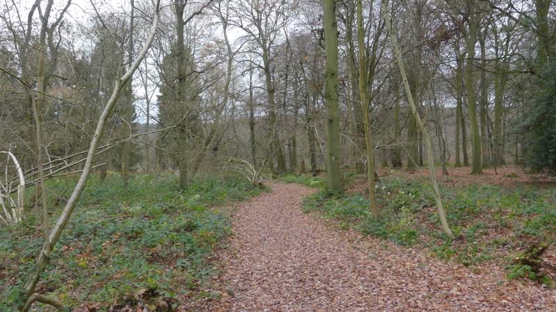
The start of the path through Nott Wood
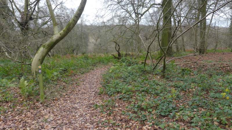
The path through Nott Wood, where it goes right from the track
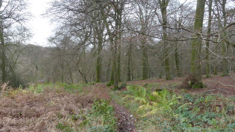
The path through Nott Wood
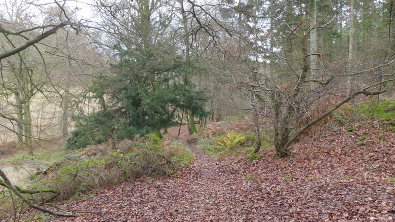
The path through Nott Wood
The path continuing from Nott Wood towards Highmoor
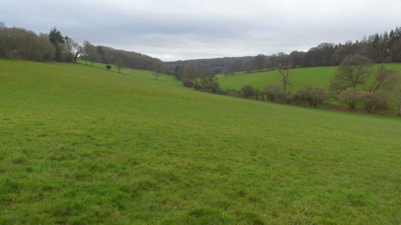
View right from the field after Nott Wood
The path continuing from Nott Wood towards Highmoor
The path continuing from Nott Wood towards Highmoor
The path continuing from Nott Wood towards Highmoor
The path to Highmoor, after I turned left at a path crossroads