Pete's Walks - Southeast from Cadmore End (page 2 of 6)
If you are considering walking this route yourself, please see my disclaimer. You may also like to see these notes about the maps and GPX files.
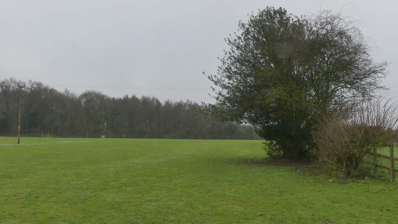
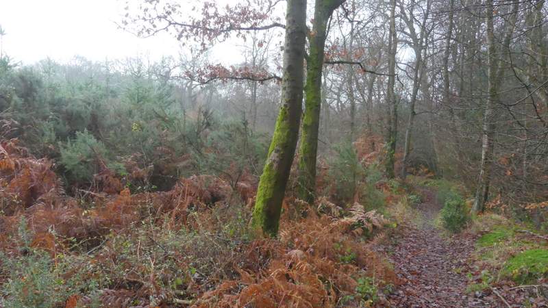
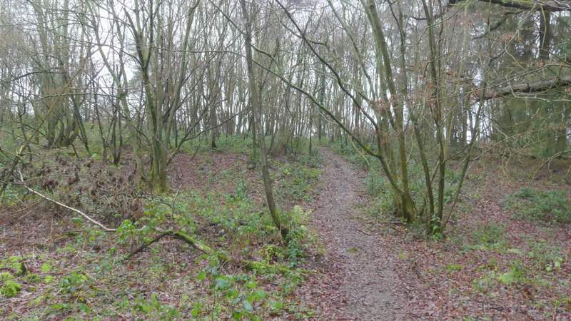
I went a short way left along the road, then took a footpath on the right. After passing between some gardens, it headed across an empty pasture, aiming for the far right corner. It then continued through Denham Wood to reach a bridleway on the far side. Here I went left, the bridleway running between hedges for a short distance to reach Great Wood. Here I immediately turned right onto another bridleway (that's what the waymarks indicated, though the OS map shows it as a footpath). This dropped downhill through the wood then up the other side of a valley. At the top of the slope I came to a junction where the bridleway turned left (curiously the OS map shows that part as a bridleway), but I went straight on along a footpath. This soon left Great Wood and ran between fences with paddocks either side, only to enter another part of the same wood where it dropped downhill. Leaving the wood a second time the path followed the right edge of a field, crossing the bottom of a valley and rising up the far side.
The path from Wheeler End to Denham Wood
Denham Wood
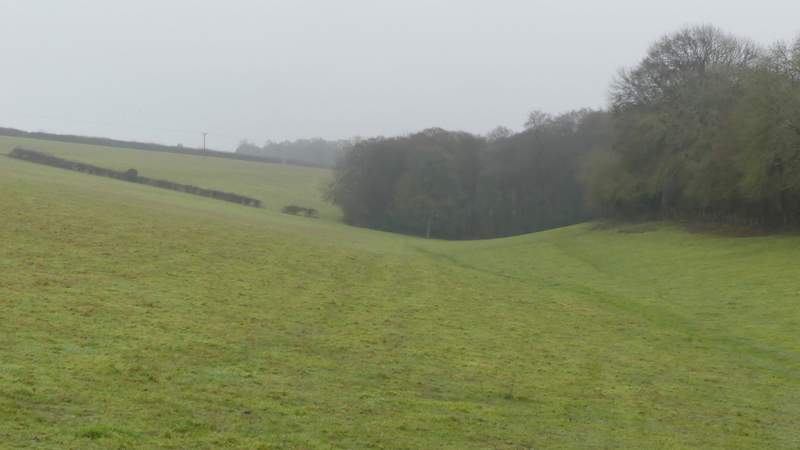
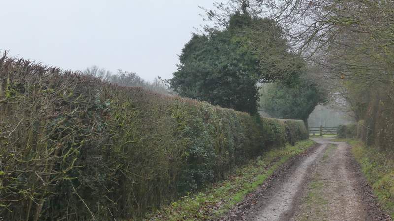
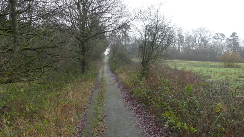
The bridleway between Denham Wood and Great Wood
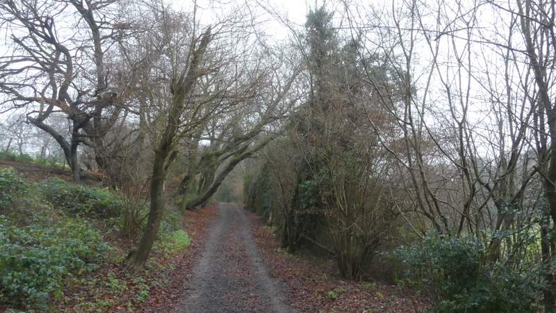
The bridleway after I turned right on entering Great Wood (OS map shows it as a footpath, waymarks say its a bridleway!)
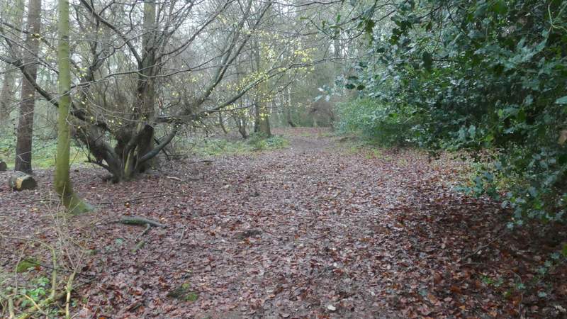
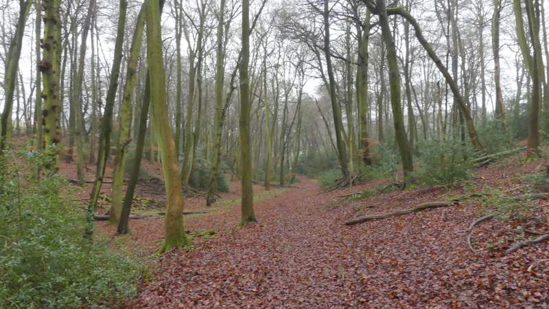
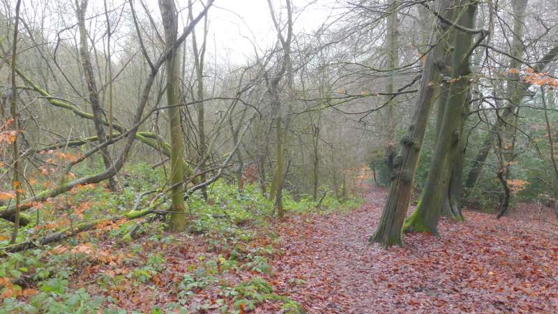
The bridleway through Great Wood
The path through the paddocks, after leaving Great Wood the first time
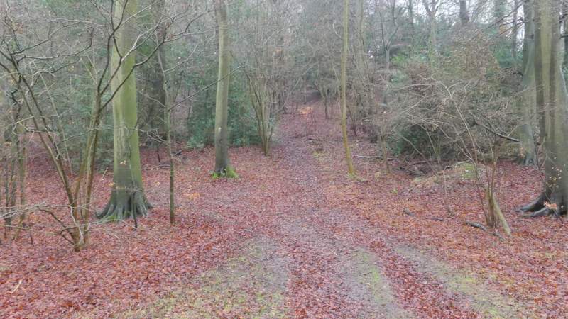
The path after leaving Great Wood the second time
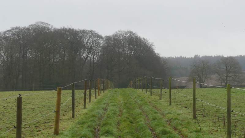
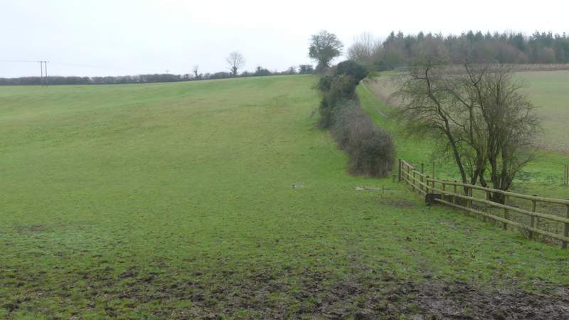
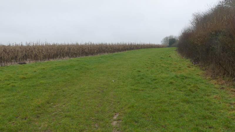
Towards the top of the slope, I went over a stile in the hedge on my right, continuing uphill along the other side of the hedge. At the end of this hedge, I carried on with a hedge on my right and a broad strip of Maize to my left. At the end of this field, I turned right along a bridleway along a track that soon brought me close to Fryer's Farm. The bridleway and track turned left here, but I went straight on over a stile, following the edge of a paddock on my right - this boundary soon turned right and I followed it to reach a stile in the next hedgerow. Over this I turned left, the path following the edge of a large field and soon passing Sandage Wood on my left.
The path continuing past the strip of maize
The track to Fryer's Farm (I went straight on over the stile)
The path by Fryer's Farm, just before it goes right

The path continuing towards Sandage Wood
On reaching a road I crossed over and went right, immediately crossing the M40 again. On reaching a drive I went a few yards left and took a public footpath on the other side, which took me into part of Widdington Park Wood. The path turned right after a while, and brought me to a surfaced drive on the edge of the wood where I turned left. The drive brought me to a reservoir surrounded by a green fence, where a path followed the fence round to the right, re-entering Widdington Park Wood as it did so. The path turned left at the next corner of the the fence, then at the next corner I turned right at a path junction. I followed this path southeastwards through the wood for about a quarter of a mile (unusually there was no shooting to be heard from the firing range just to the left here).
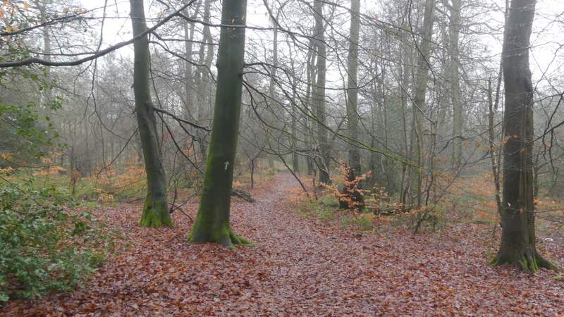
The first path through Widdington Park Wood
The first path through Widdington Park Wood
The drive to the reservoir
The second path though Widdington Park Wood, beside the reservoir fence
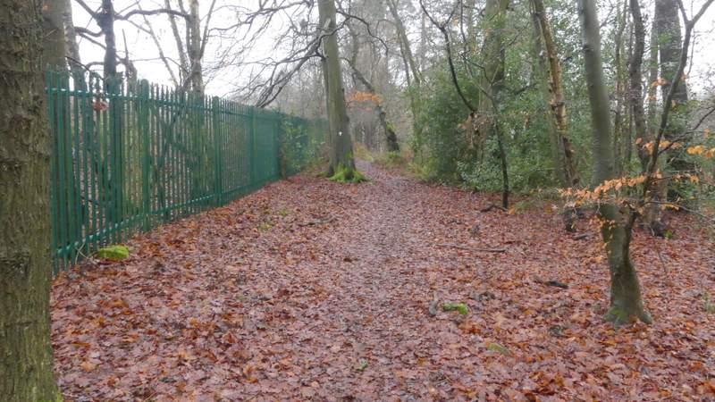
The same path after it turns left along another side of the reservoir fence
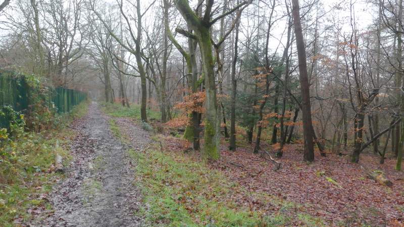
The path after I turned right at the corner of the reservoir fence
The path after I turned right at the corner of the reservoir fence