Pete's Walks - Hambleden, Fawley, Stonor (page 5 of 7)
If you are considering walking this route yourself, please see my disclaimer. You may also like to see these notes about the maps and GPX files.
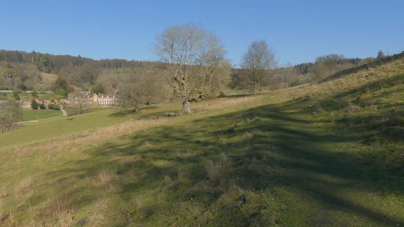
The path through Stonor deer park is another of my favourites, and again today I was walking it in the 'wrong' direction - not only was I going uphill, I had the best views behind me. Nevertheless in today's conditions I really enjoyed it and didn't begrudge the little extra effort required or having to turn round to see the views towards Pishill and Maidensgrove. The steepest part of the path comes right at the start, then it only rises very gently through the deer park. A sign where I entered the park said "Caution: Archery in progress" and soon I could see a line of about 30 archers lined up quite close to Stonor House, aiming at a yellow flag about 200 yards away.
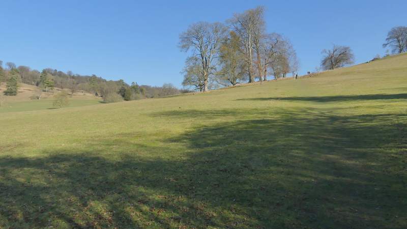
The start of the path through the deer park at Stonor
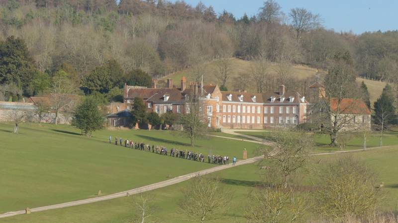
There was an archery competition going on at Stonor House
The path through the deer park at Stonor
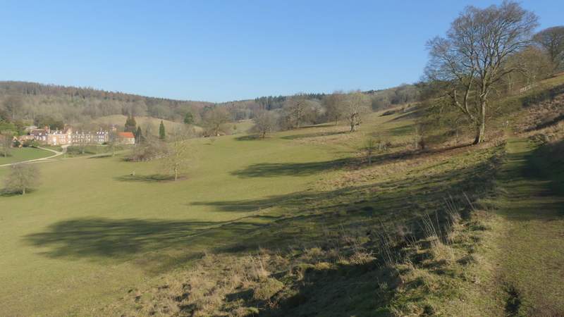
View back from the deer park towards Pishill
The path through the deer park at Stonor
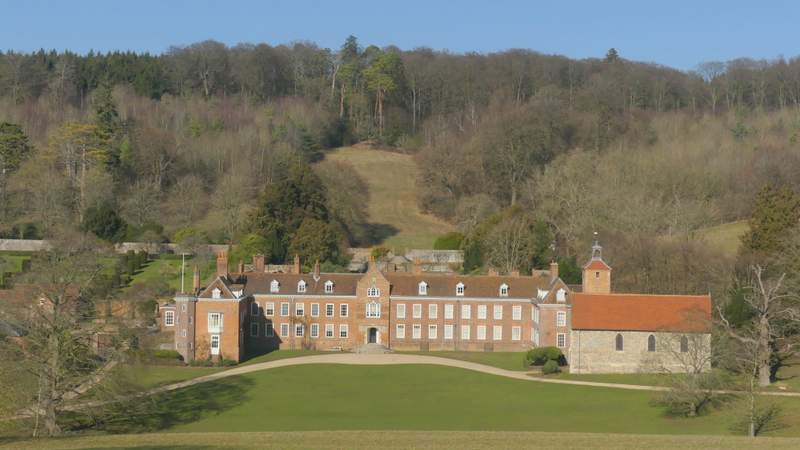
Stonor House
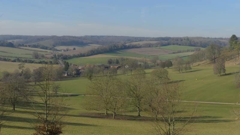
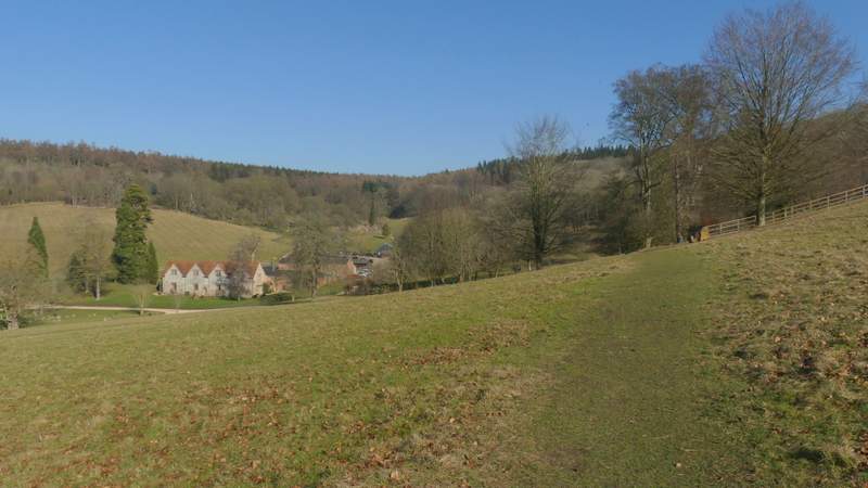
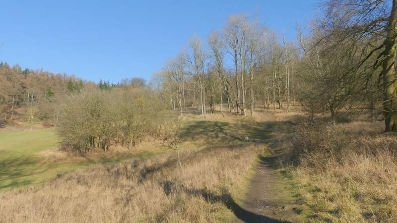
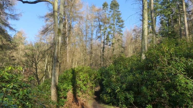
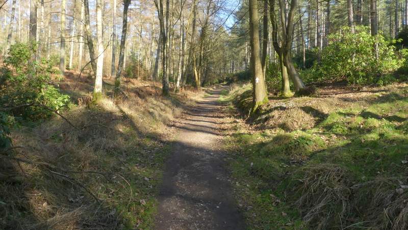
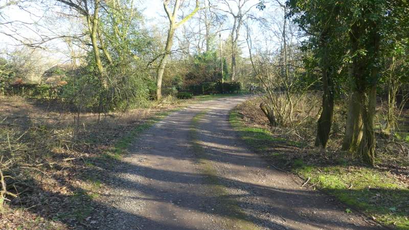
The path wound its way through the park for about three-quarters of a mile, the last part through trees rather than the earlier grassland. I left the park at a tall gate in the deer fence, the path continuing through woodland (initially there was a lot of Rhododendron bushes) and becoming slightly steeper. Looking on the OS map, the path seems to follow the boundary between Balham's Wood on my left and Kildridge Wood to the right. When it flattened out, there was a field just on my left, and then I reached a lane at Southend (a hamlet at the south end of the parish of Turville).
The path through the deer park at Stonor
The path through the deer park at Stonor
The path through the deer park at Stonor
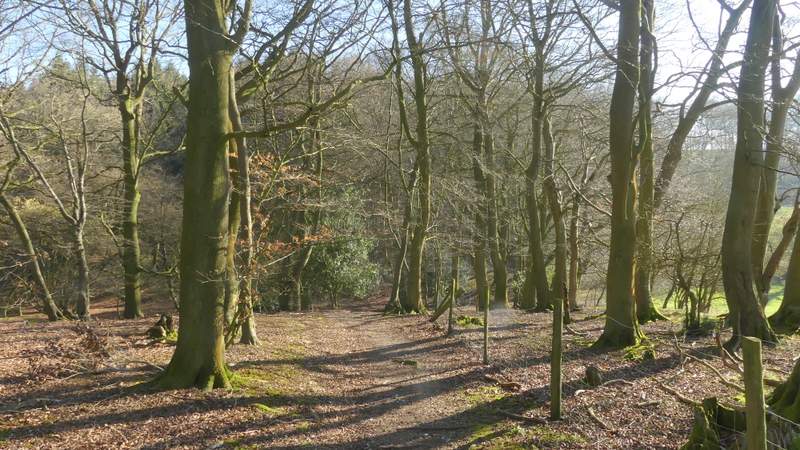
The path continuing from the deer park

The path continuing from the deer park
The path continuing from the deer park
The path continuing from the deer park, approaching the lane at Southend
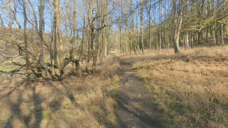
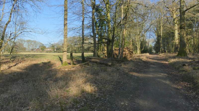
Previously I have always turned left along the lane, but today I crossed the lane and continued along a footpath that started down a track, which soon turned right. The path then entered a field, soon going over a stile in the hedge on the right into a second grassy field. Here I turned left, soon passing a small area of bushes and trees behind a wire fence. I then went over another stile in the hedge back into the first field, the path then turning right and following the hedge as it descended towards Gussetts Wood. In the field corner, the path entered the wood and continued downhill through it a short way to reach a valley bottom.
The path along the drive at Southend
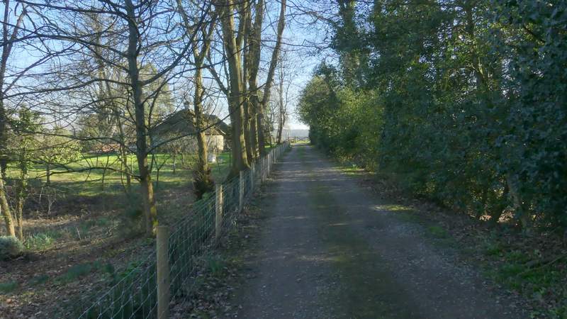
The path along the drive at Southend
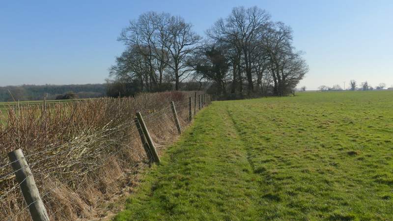
The path after going over a stile into a second field
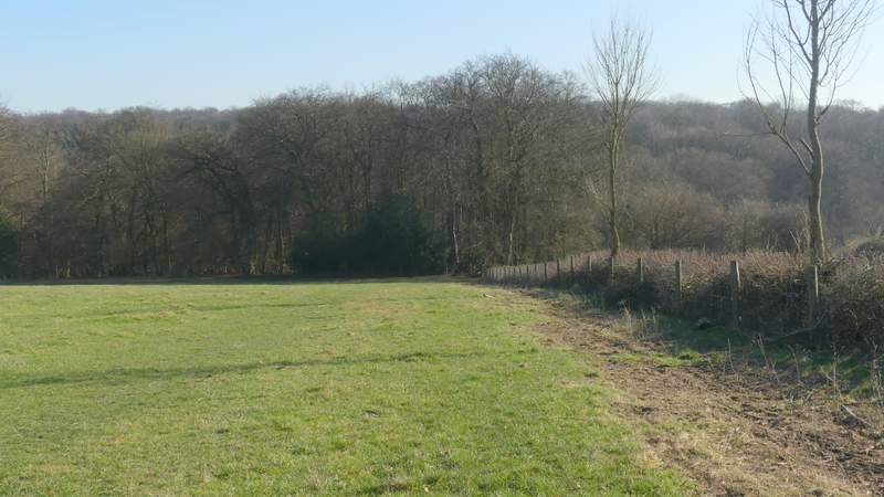
The path after going over a second stile back into the first field, heading for Gussetts Wood
The path descending through Gusseetts Wood