Pete's Walks - Ibstone, Skirmett and Wheeler End (page 3 of 7)
If you are considering walking this route yourself, please see my disclaimer. You may also like to see these notes about the maps and GPX files.
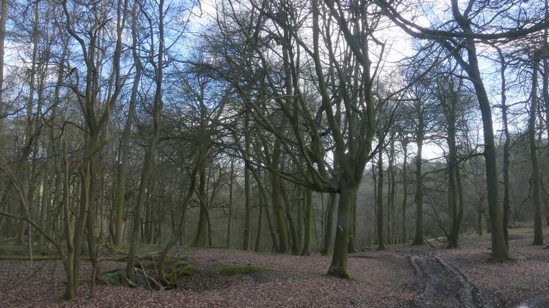
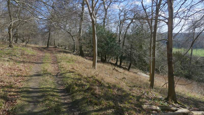
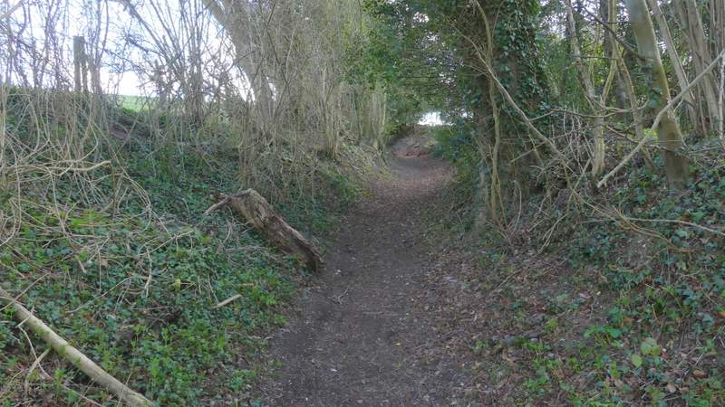
The path through Poynatt's Wood soon joined a track, continuing straight on and rising gradually uphill through the wood. Looking on the OS map now I can see it was only about a quarter of a mile to the top of the hill, I thought it was longer than that. The sunny spell was now over, and the sun would now play peek-a-boo for the next hour or two, hiding behind a cloud then appearing again at frequent intervals.
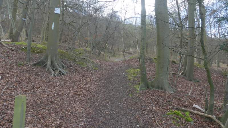
The start of the path through Poynatt's Wood
The path through Poynatt's Wood
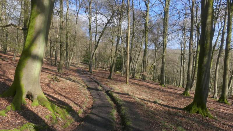
The path through Poynatt's Wood
The path through Poynatt's Wood
The path through Poynatt's Wood
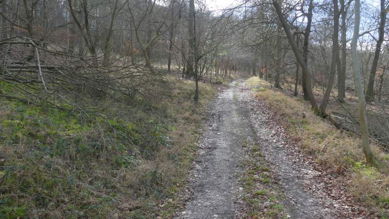
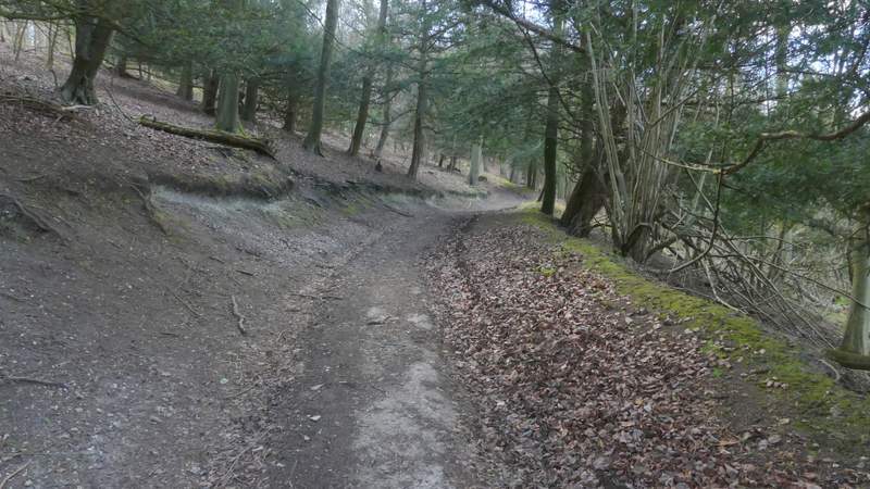
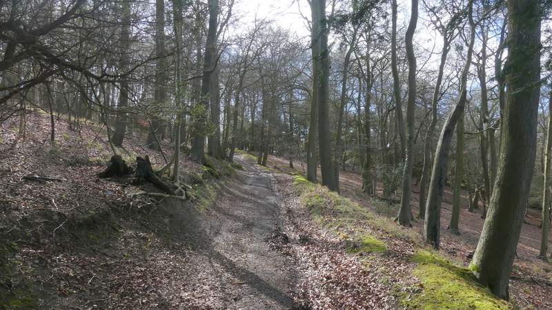
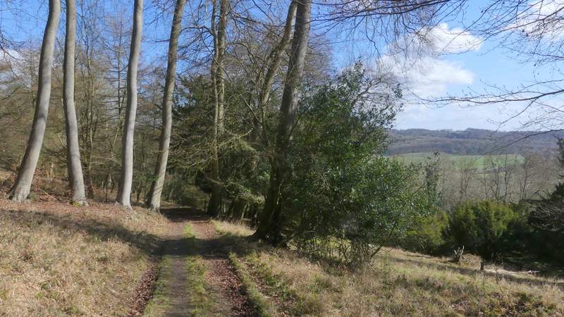
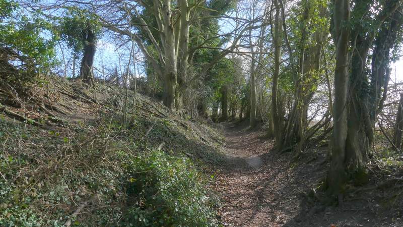
As the path went over the top of the hill it gradually curved left from south to northeast, and started very gradually descending - at some point here the wood became Great Wood (I think, the boundaries of the woods hereabouts aren't all shown on the OS map). Soon the path turned right, eastwards, continuing gently downhill through the woods. It then steepened for a while, before after about half a mile from the top of the hill, the path left the wood, turning right and running level for a hundred yards or so. It then turned left, and again dropped steeply downhill through bushes to reach the road through the Hambleden Valley, on the edge of Skirmett.
The path continuing through Great Wood
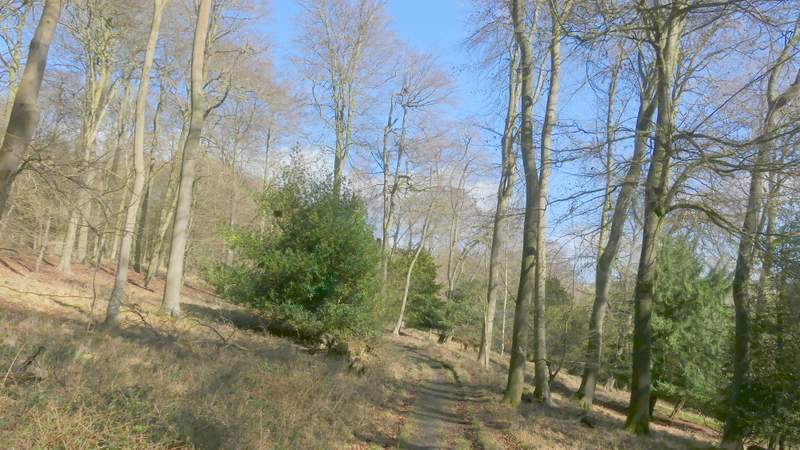
The path continuing through Great Wood
The path continuing through Great Wood
The path continuing through Great Wood
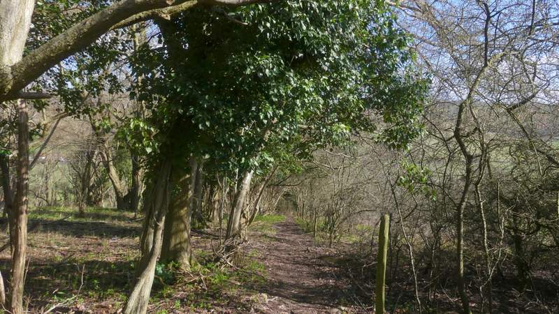
The path continuing through Great Wood
The path descending from Great Wood to Skirmett
The path descending from Great Wood to Skirmett
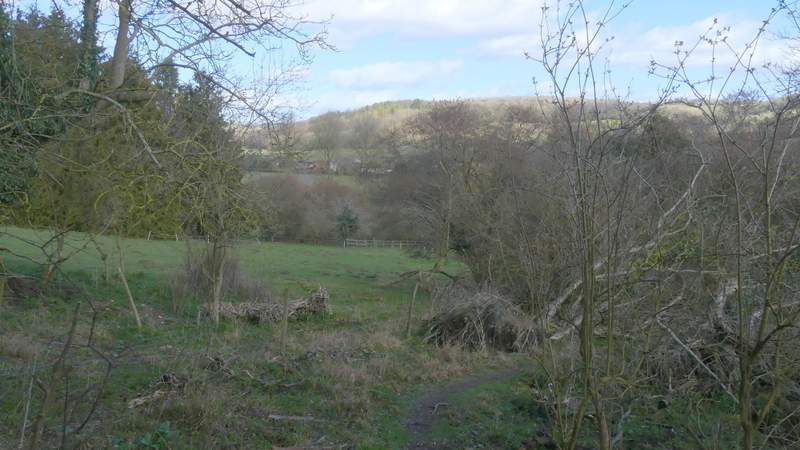
The path descending from Great Wood to Skirmett
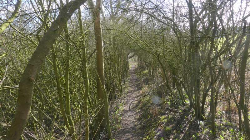
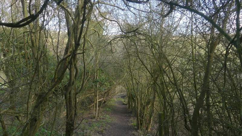
I turned left along the road, which immediately turned right - I stopped to take a photo along here, and spotted a large number of Fallow Deer in a field on the hillside over to the left. The road soon turned left, through the main section of Skirmett, but where it did so I took a lane going straight on. This soon left the village, continuing between hedges either side, then when it turned left I took a bridleway going half-right - this goes to the former convent of St Katherine's, Parmoor, but I wouldn't be going that far along it today. The bridleway headed roughly southeast, gradually rising uphill through a 'green tunnel' of overhanging trees and hedges, with occasional views out to to the valleys either side - I don't know the short one on the left as there are no paths there, just a lane (which I'd cross a bit later on).
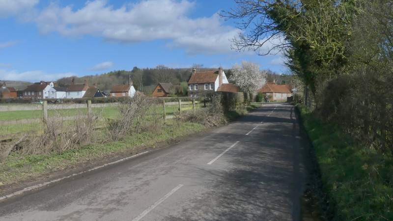
The road into Skirmett
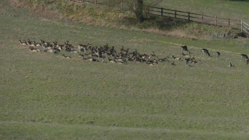
Fallow Deer - I think there are about 70, I once saw 180 near here!
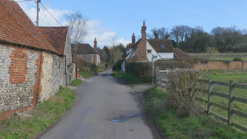
Skirmett, after I went right (actually straight on) at a junction
The start of the bridleway to St Katherine's, Parmoor
The bridleway to St Katherine's, Parmoor
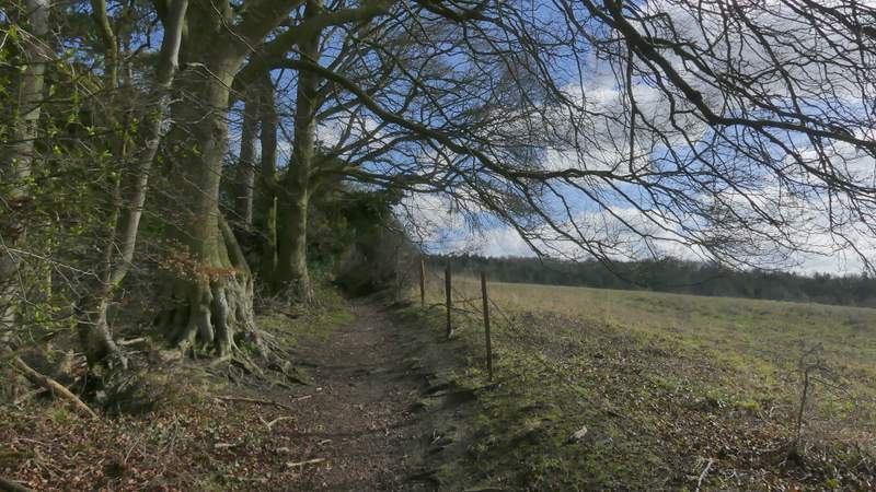
The bridleway to St Katherine's, Parmoor
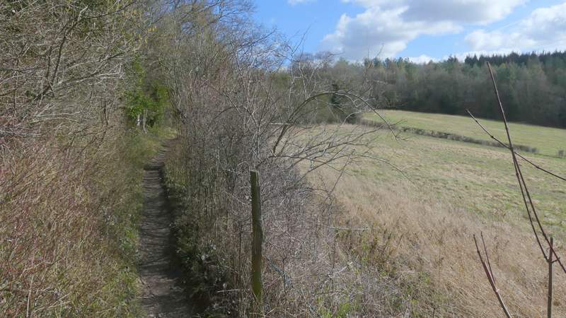
The bridleway to St Katherine's, Parmoor