Pete's Walks - Cholesbury and Ashley Green (page 1 of 6)
If you are considering walking this route yourself, please see my disclaimer. You may also like to see these notes about the maps and GPX files.
Google map of the walkDownload GPX file of the walk
I did this circular walk of about 13.1 miles on Sunday, 31st March, 2019. It was a repeat of a walk I did in May 2010, but starting at Cholesbury instead of Buckland Common and walking the route clockwise instead of anti-clockwise (I also took a slightly different route through Hockeridge Wood). I chose to start at Cholesbury because the last two times I've tried to park in the small parking area in Bottom Road in Buckland Common it has been full, and I've given up trying to park there - today, when I walked past it, there was only one car parked there (there's space for 5 or 6) so perhaps I'll give it another chance.
I parked in the parking area by the cricket ground in Cholesbury (grid reference SP933071) and started by following the road past the cricket ground. Shortly before reaching a junction with a road called Ray's Hill on the right, I joined the route I took in 2010 by taking a bridleway (also on the right) that dropped downhill through trees (this can be very muddy, so I sometimes just walk down Ray's Hill instead). At the bottom of the hill I turned right, and followed a footpath along the valley, passing through two or three small and empty pastures, then a larger pasture. The path continued along the valley, following a hedge on my right through two ploughed fields sloping up to my left. In the far corner of the second of these fields I turned right, and soon reached the road through Buckland Common, where I turned left.
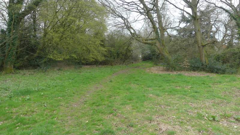
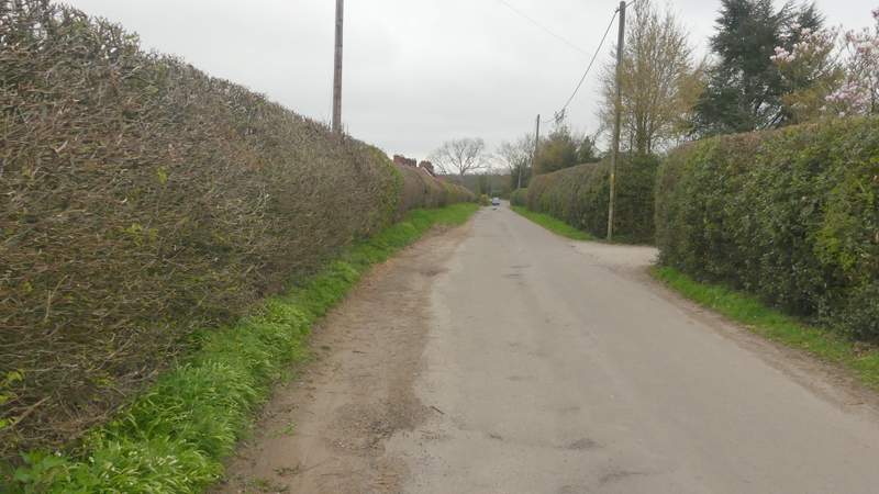
The start of the bridleway from Cholesbury, parallel to Ray's Hill
The start of the bridleway from Cholesbury, parallel to Ray's Hill
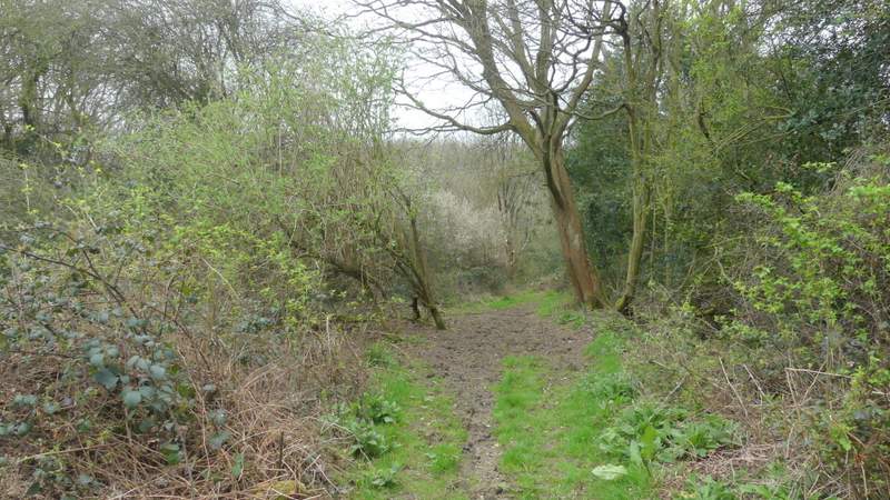
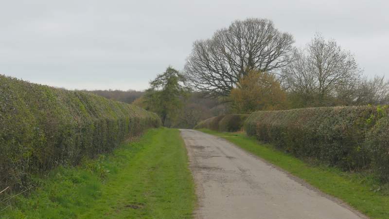
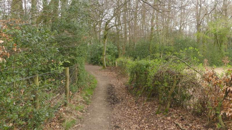
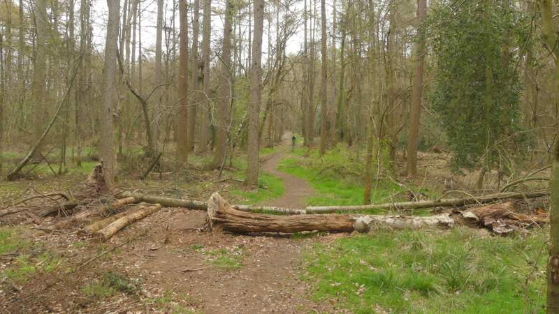
Near the start of the footpath along the valley
The footpath along the valley
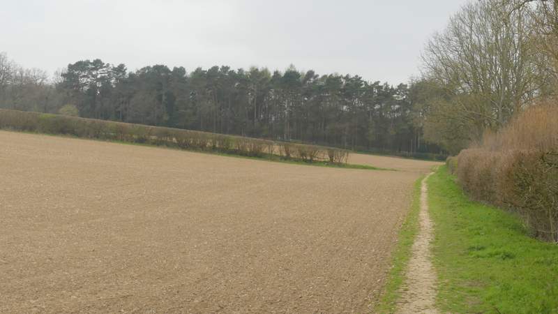
The footpath along the valley
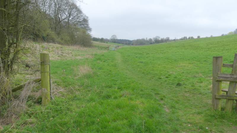
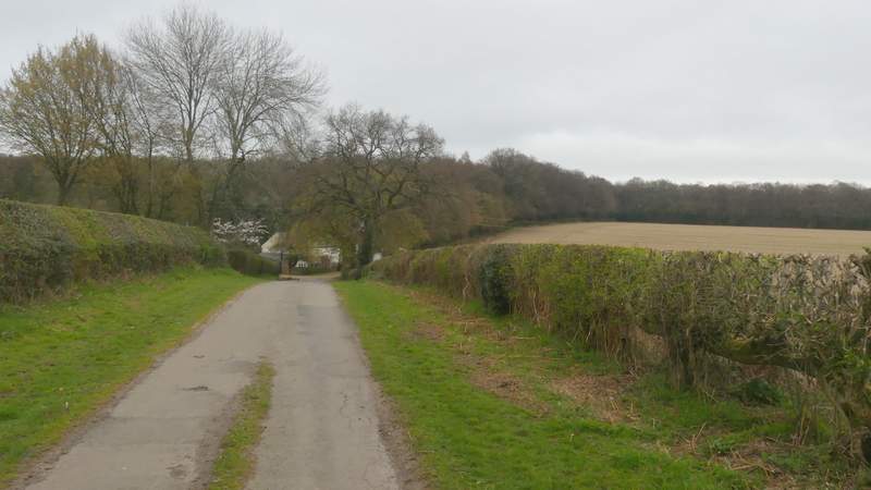
The short path after I turned right at a path crossroads in a field corner
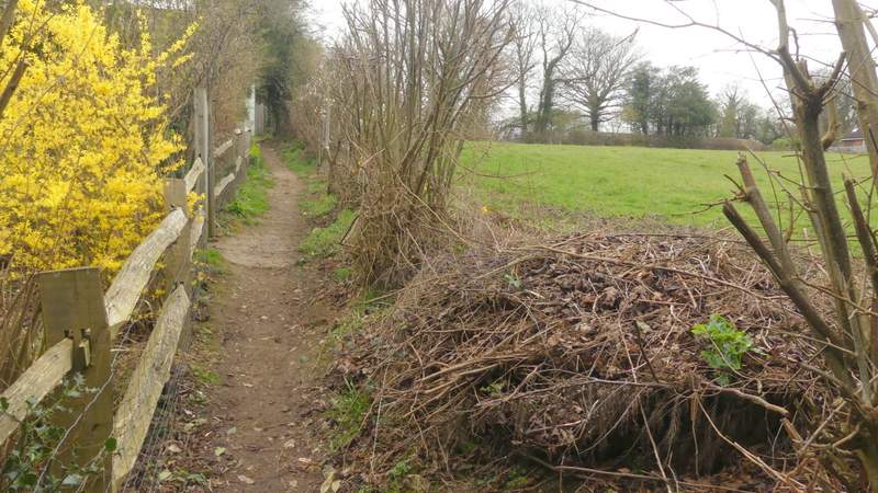
I was immediately delighted to spot my first Greater Stitchwort and Bluebells of 2019, growing to the right of the road next to a wood. I followed the road for maybe a quarter of a mile, then turned right into Bottom Road. I soon reached the almost empty parking area by a junction, where I turned right but then immediately left into Little Twye Road. I followed this lane very pleasantly for about half a mile until it ended at Beechwood Farm, where a bridleway continued between part of Drayton Wood and a hedge on my right. After a few hundred yards I had the wood on both sides, but then it was only a few hundred yards more until I reached Shire Lane. I turned right here, then just after a wood called High Scrubs started on the left, I took a path that entered that wood and followed it for about a quarter of a mile to reach a crossing byway.
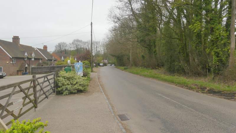
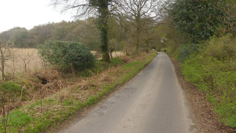
The road through Buckland Common
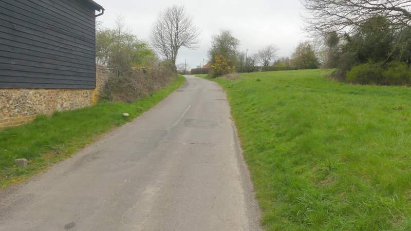
The start of Little Twye Road
Little Twye Road
Little Twye Road
Little Twye Road
View right from the bridleway continuing from the end of Little Twye Road
The bridleway continuing from the end of Little Twye Road, passing through Drayton Wood
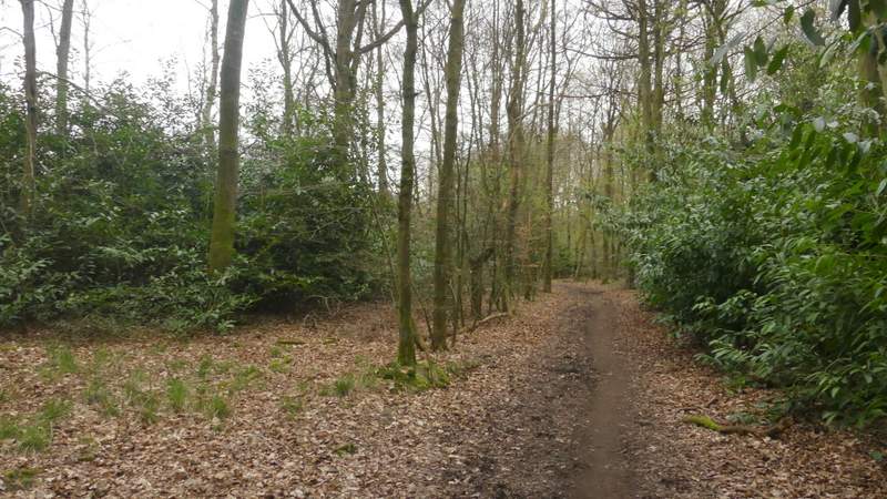
The bridleway continuing from the end of Little Twye Road, passing through Drayton Wood
Shire Lane, after I turned right
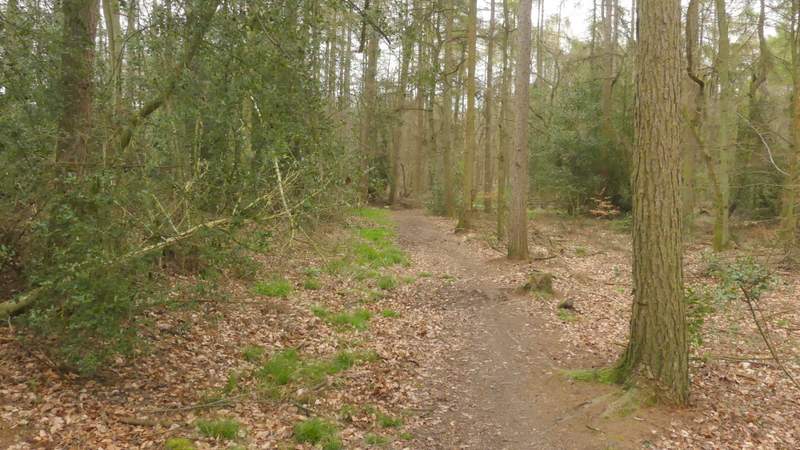
The path through High Scrubs after I turned left from Shire Lane
The path through High Scrubs after I turned left from Shire Lane