Pete's Walks - Cowleaze Wood, Chinnor, Ibstone (page 3 of 7)
If you are considering walking this route yourself, please see my disclaimer. You may also like to see these notes about the maps and GPX files.
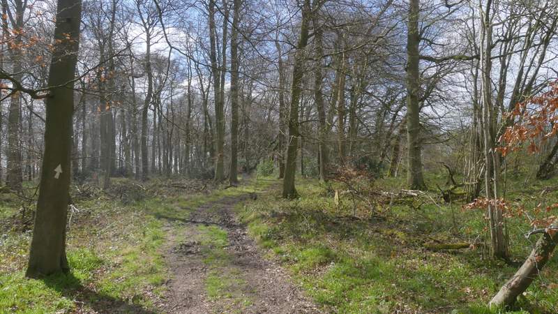
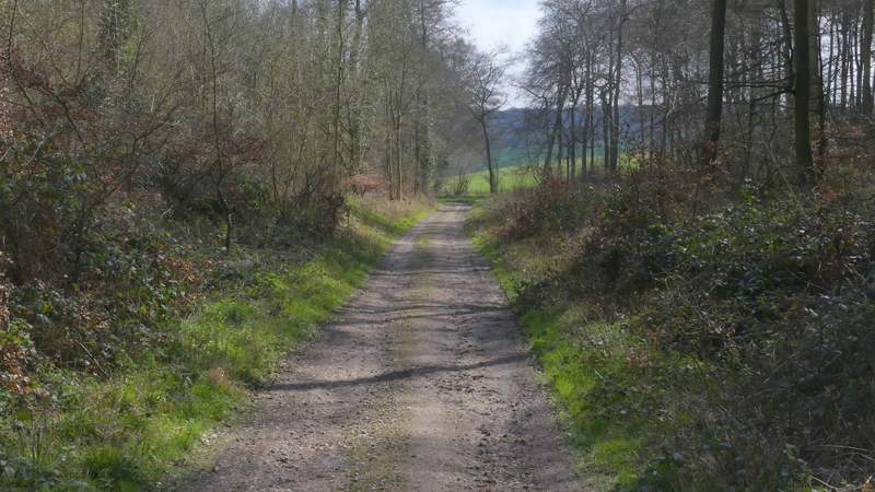
In the valley bottom I went straight on at a bridleway junction, climbing up the other side of the valley with Venus Wood now on my left and a field over the wire fence on my right. The bridleway eventually brought me to a lane in Sprig's Alley, where I turned right. I soon spotted a few Wood Anemones and one or two Greater Stitchwort growing along the right hand verge. After about a quarter of a mile I turned left along a bridleway that started by the drive to Crowellhill Farm. This was soon running in a well-worn groove as it dropped downhill through Crowell Wood.
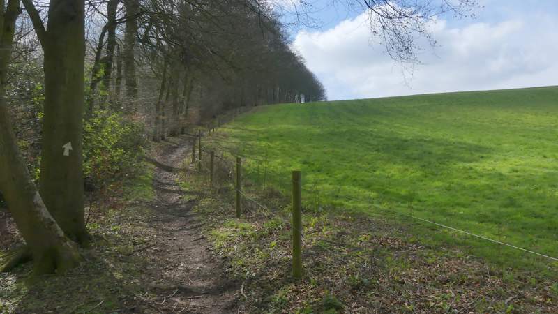
The bridleway continuing uphill to Sprig's Alley
The bridleway continuing uphill to Sprig's Alley
The bridleway continuing uphill to Sprig's Alley
The bridleway continuing uphill to Sprig's Alley
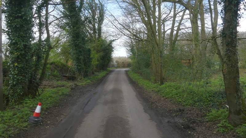
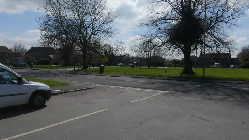
The lane at Sprig's Alley, after I turned right
The bridleway descending from Crowellhill Farm
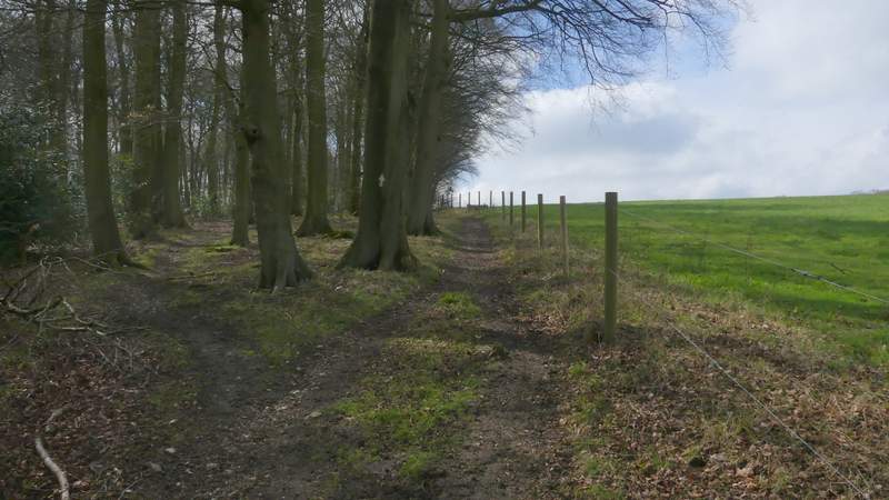
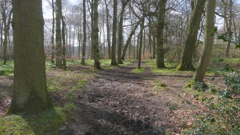
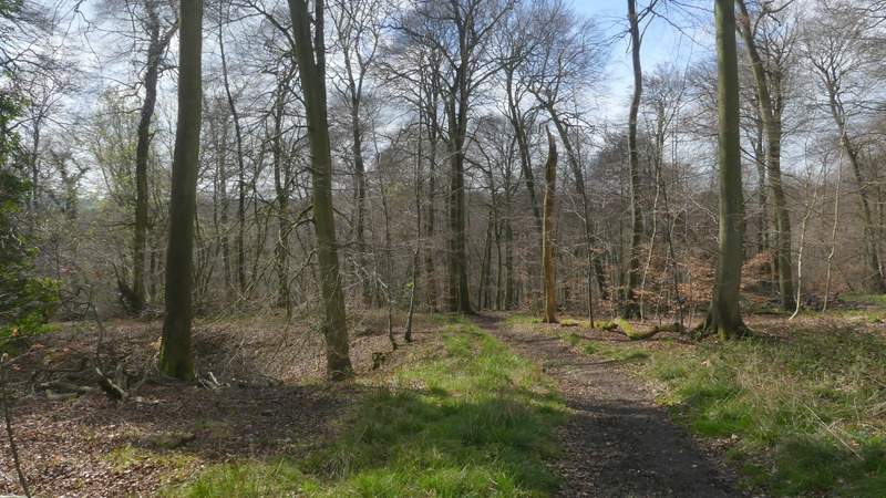
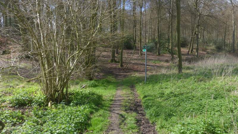
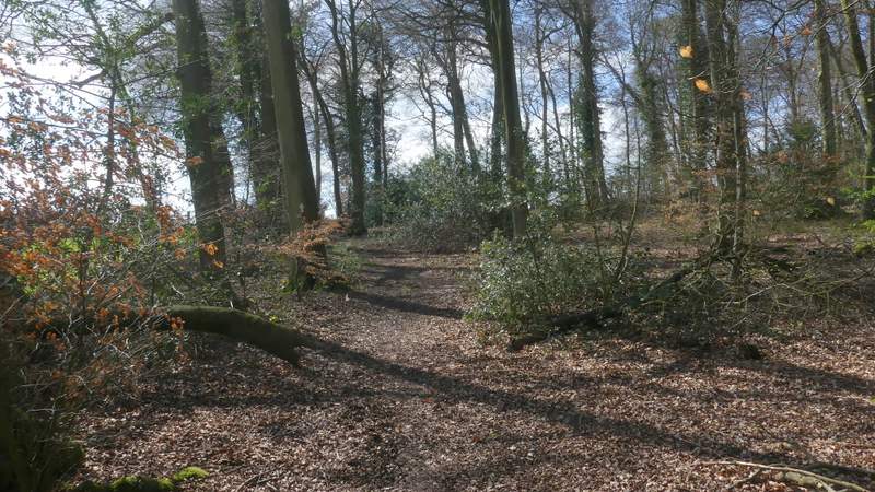
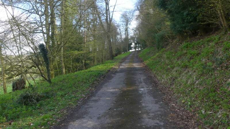
Near the valley bottom I came to a bridleway fork where I kept right, the bridleway now rising slightly through more of the same wood (though I was close to fields over on my right). After a while the bridleway started to drop quite steeply downhill through the trees, crossing a track at one point and soon after ending at another track in the valley bottom. Here I turned left, following a bridleway along the track, with Lott Wood now on my right.
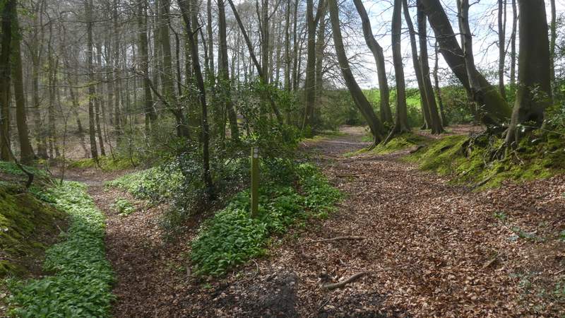
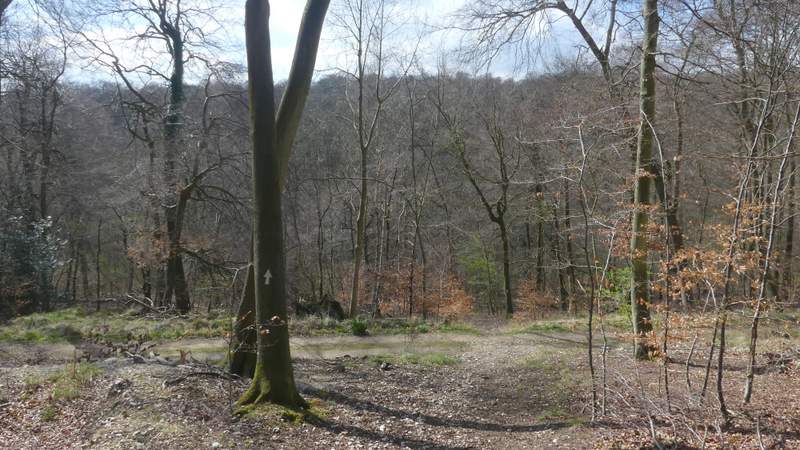
The bridleway junction where I forked right
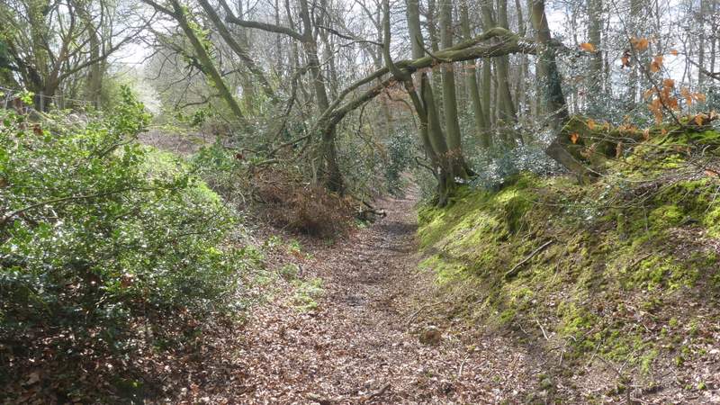
The bridleway continuing through Crowell Wood
The bridleway continuing through Crowell Wood
The bridleway continuing through Crowell Wood
The bridleway continuing through Crowell Wood
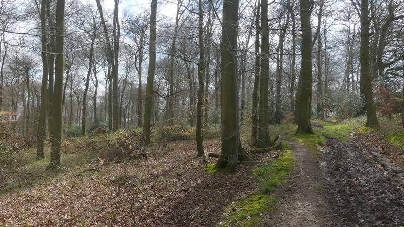
The bridleway continuing through Crowell Wood, just before it crosses a track
The track after I turned left at the end of the bridleway, with Lott Wood on my right
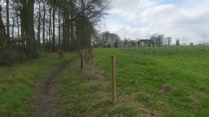
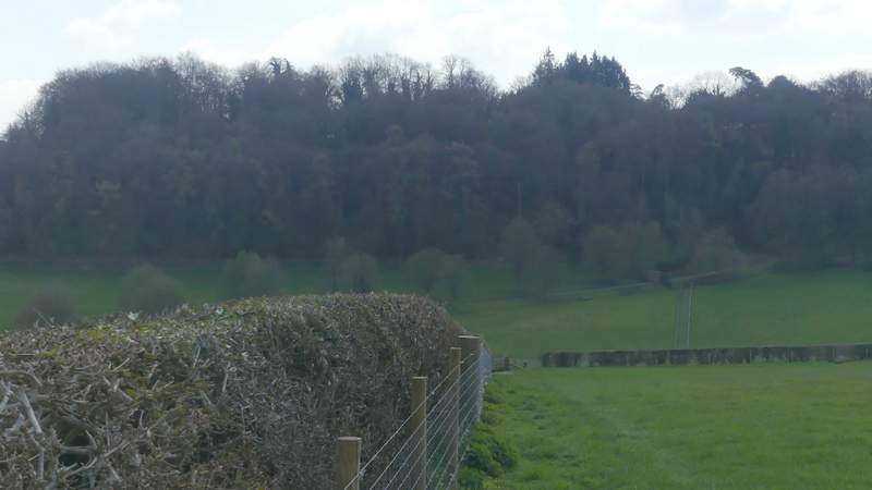
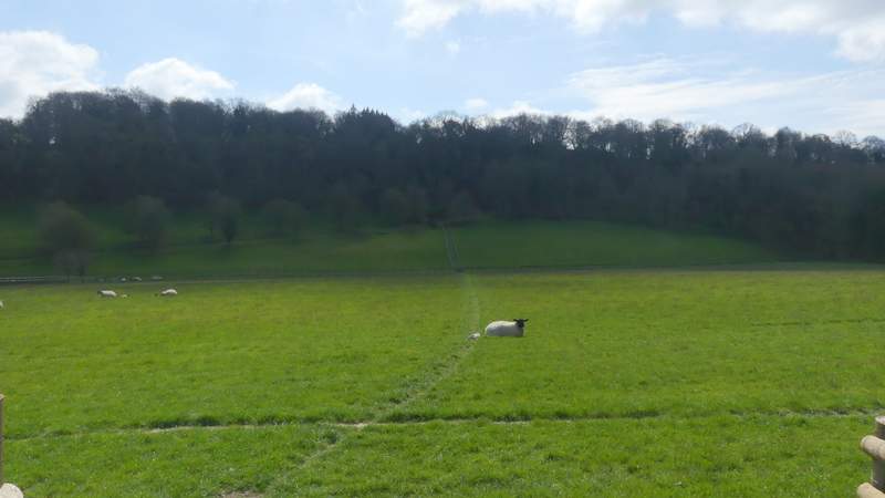
Where Lott Wood ended, I turned right where a finger-post indicated a footpath rising uphill just inside the edge of the wood. Near the top of the slope I left the wood, continuing beside a stout hedgerow on my left (over which I had a view along a valley towards parts of Radnage and Bledlow Ridge). The path then dropped downhill through a sheep pasture, complete with lambs, and then rose slightly between paddock fences to reach the drive from Hellbottom Farm (which was on my left). I turned right and followed the drive which soon turned sharply left and rose uphill. It then turned right and soon levelled out, and I continued along the drive all the way into Stokenchurch. On reaching a T-junction with the Royal Oak pub on my right, I turned right along a street that soon curved left to reach the main road through the village (the A40). I crossed over, and went down a street starting a few yards to the left.
The start of the path going right from the track, just inside the left edge of Lott Wood (this photo is confusing, it looks like I'm turning left - the track goes a few yards past the finger-post, then I turned right down this path to the finger-post)
The path just inside Lott Wood
The path continuing to Hallbottom Farm
The path continuing to Hallbottom Farm
The drive from Hallbottom Farm
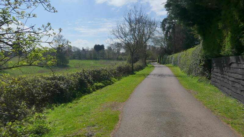
The drive from Hallbottom Farm approaching Stokenchurch
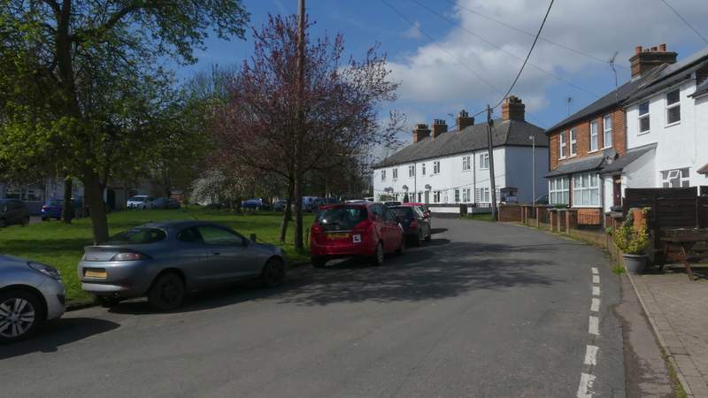
Stokenchurch, after I turned right by the Royal Oak pub
Stokenchurch, where I crossed the A40 (I went down the road almost opposite)