Pete's Walks- Deacon Hill and Pegsdon (page 2 of 2)
If you are considering walking this route yourself, please see my disclaimer. You may also like to see these notes about the maps and GPX files.
I turned half-left and followed a hedge-lined track away from the car park (this is part of the Icknield Way long-distance path). After about a third of a mile, I went through two gates on the right and followed a path up the steep grassy side of Deacon Hill. The path then wound its way through bushes, and what are presumably old chalk pits, to reach the ordnance survey column on top of Deacon Hill.
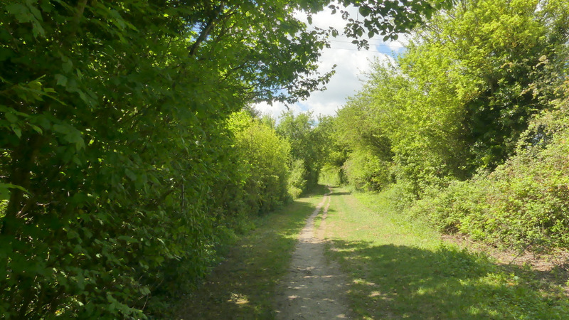
The Icknield Way, heading away from the Deacon Hill car park on the B655
The Icknield Way
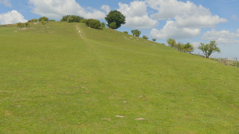
The steep path up Deacon Hill
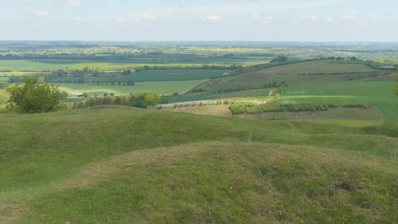
View from the top of Deacon Hill, over parts of Bedfordshire and Hertfordshire
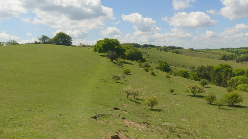
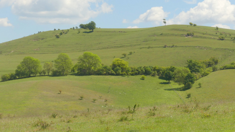
I then turned left and commenced the delightful path from Deacon Hill to Pegsdon Hill (OK, to be correct it is actually the Pegsdon HillS, plural). The path runs along the top, or close to the top, of a steep chalk downland escarpment, with great and far-reaching views over lower-lying parts of Bedfordshire and Hertfordshire. It is always a wonderful experience to walk along here, especially on a fine day like this. After about half a mile there is a slight dip and then a surprisingly steep (but short) climb as the path goes round the end of a small valley. Then the path curves round the end of a larger valley named Barn Hole, to reach the top of Pegsdon Hill.
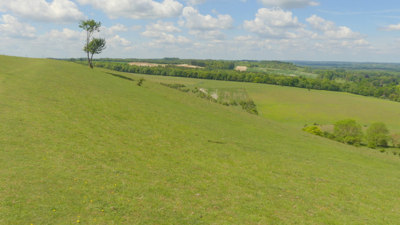
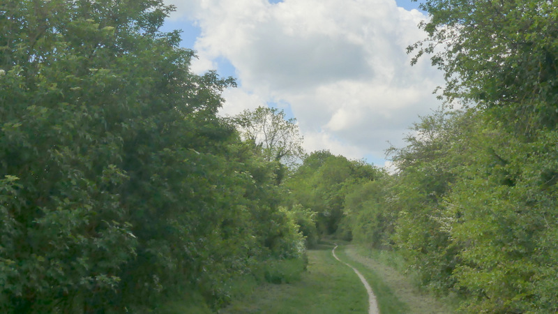
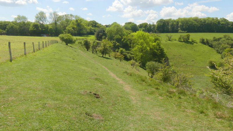
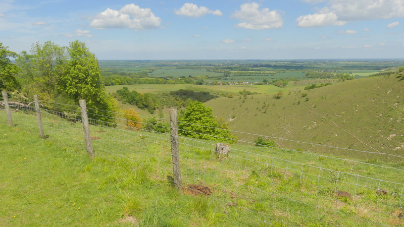
The start of the path from Deacon Hill to the Pegsdon Hills
The path from Deacon Hill to the Pegsdon Hills
The path from Deacon Hill to the Pegsdon Hills
The path from Deacon Hill to the Pegsdon Hills
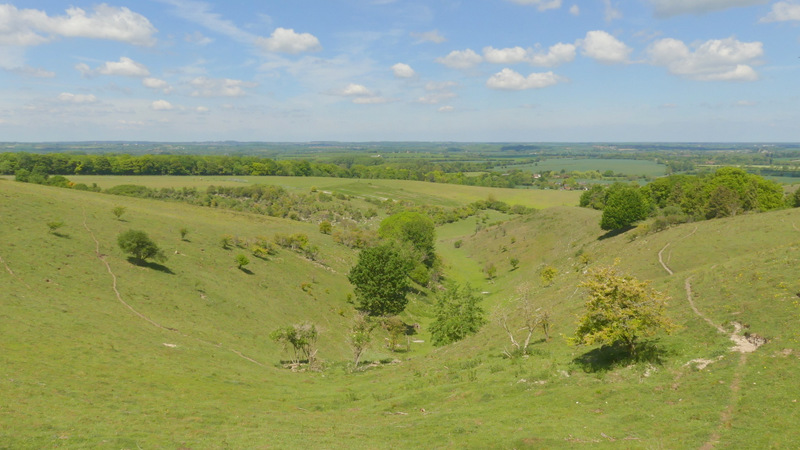
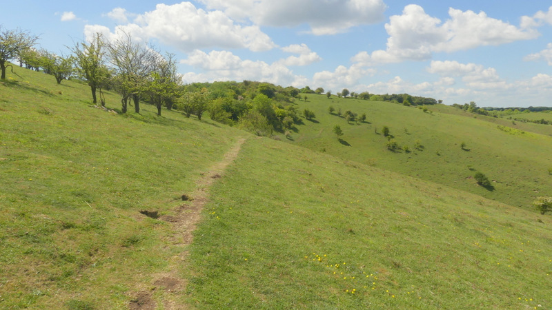
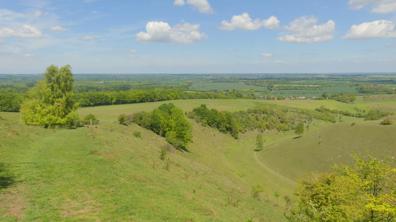
View along a side valley that joins the larger valley of Barn Hole
The path continuing round the top of Barn Hole
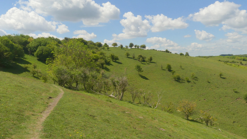
After going through a gate, I stayed next to a fence and hedge on my right as I continued round the top of Barn Hole, and stayed with them as I now started the long and very enjoyable descent down to Pegsdon. For much of the way the path has the steep-sided Barn Hole on the right, with views back to the escarpment I'd just walked along and Deacon Hill. There were also fine views ahead over the flat lands beginning at the foot of the slope. The path ended at the B655 on the edge of Pegsdon, where I crossed over and walked the few yards back to the car park.
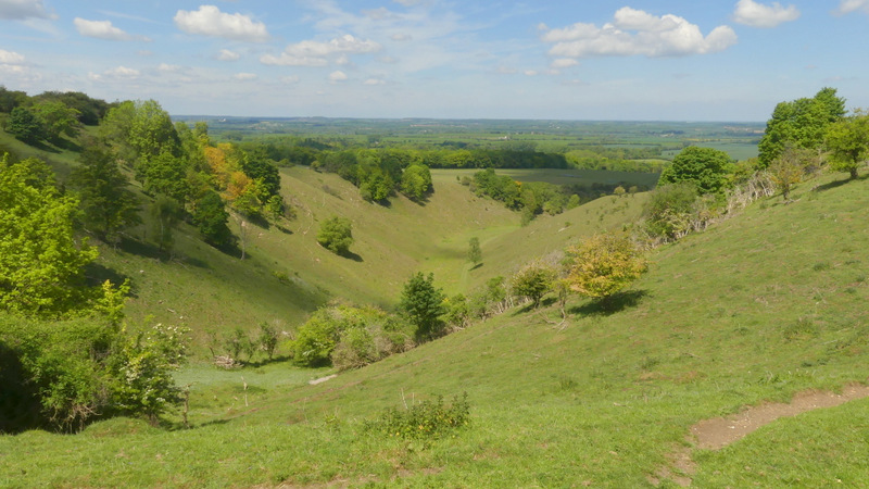
Barn Hole
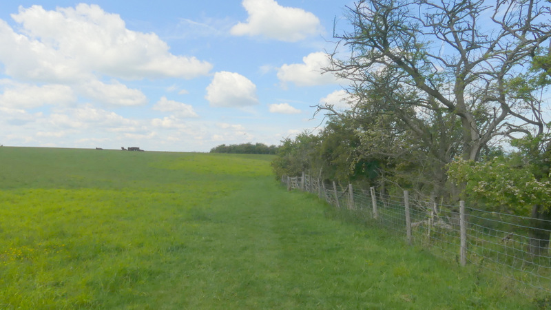
The start of the path down to Pegsdon from the Pegsdon Hills
View over Barn Hole, from the path down to Pegsdon from the Pegsdon Hills
The path down to Pegsdon from the Pegsdon Hills
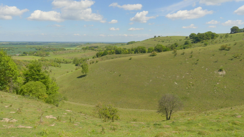
View over Barn Hole towards Deacon Hill, from the path down to Pegsdon from the Pegsdon Hills
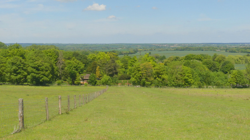
Approaching Pegsdon
Zoomed-in shot of Deacon Hill
This was a very pleasant way indeed to spend a morning, this route must surely be one of the best walks of 3-4 miles in the Chilterns. I prefer longer walks, so doubt that I would do the walk unless I was planning to visit the Knocking Hoe nature reserve (I come here twice a year, for Burnt-tip Orchids and Autumn Lady's-tresses) or if I was unfit and could only manage such a short walk. The best part of the walk, from Deacon Hill to the Pegsdon Hills, is included in two longer walks I do, the Lilley-Barton Walk (about 14.5 miles) and the Barton and Deacon Hill walk (about 10 miles).