Pete's Walks - Wigginton and Drayton Wood (page 3 of 3)
If you are considering walking this route yourself, please see my disclaimer. You may also like to see these notes about the maps and GPX files.
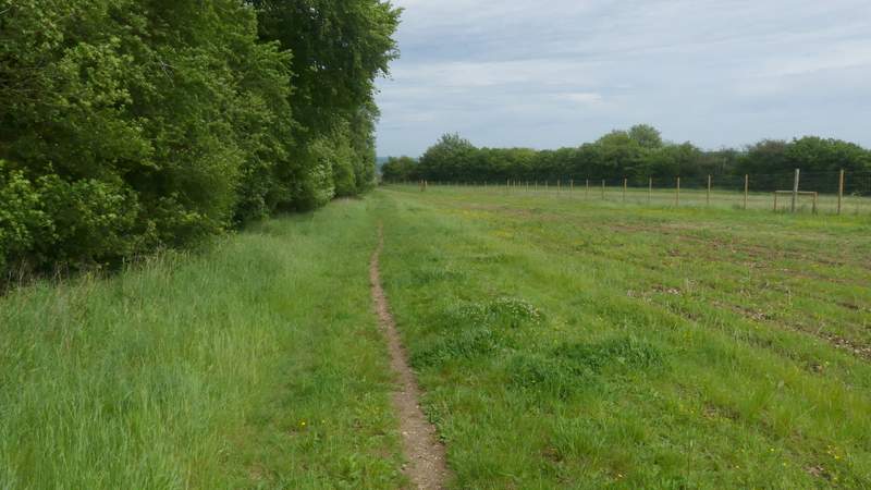
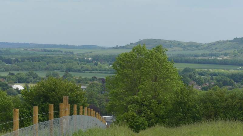
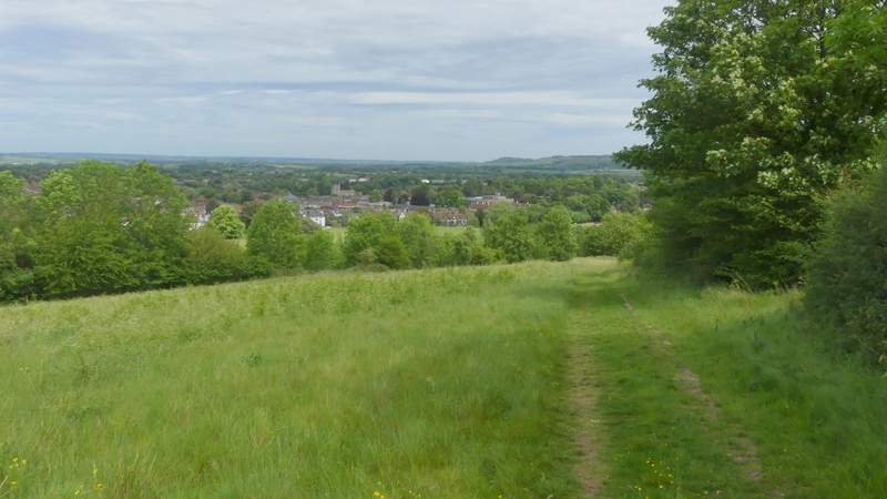
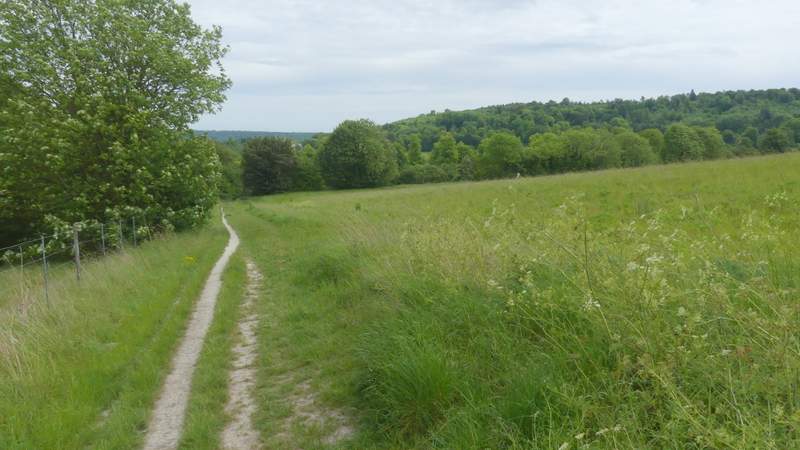
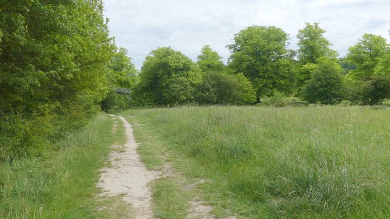
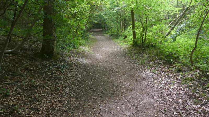
Now in Stubbing's Wood, I went straight on at a junction where a path went right, then after another hundred or so yards went right at the next junction. This path immediately left the wood, then turned left alongside it. Beyond the wood it continued beside a new fence on my left, then gradually dropped downhill beside a tall hedge of mature trees on my right, with views ahead over Tring, the Vale of Aylesbury and Ivinghoe Beacon. Towards the bottom of the slope I came to a path junction where I turned right, with the A41 dual carriageway a short way to my left. On reaching Hastoe Lane, on the edge of Tring, I crossed over and went straight on along the left edge of a meadow to reach an entrance to Tring Park.
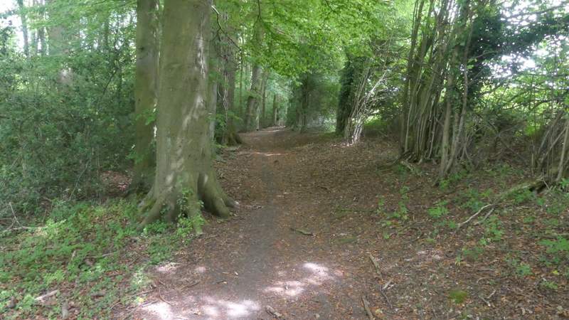
Further along that path, in Stubbing's Wood
The path beside Stubbing's Wood
The same path continuing towards Tring (Ivinghoe Beacon in the distance)
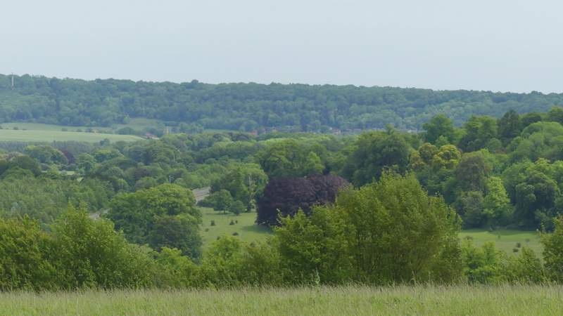
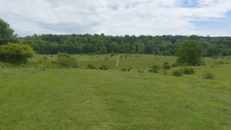
View over Tring Park towards Aldbury and Ashridge
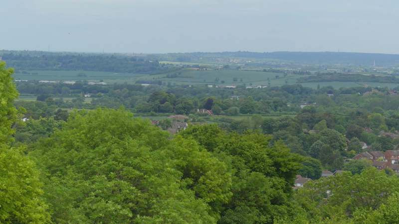
View over Tring towards the Vale of Aylesbury
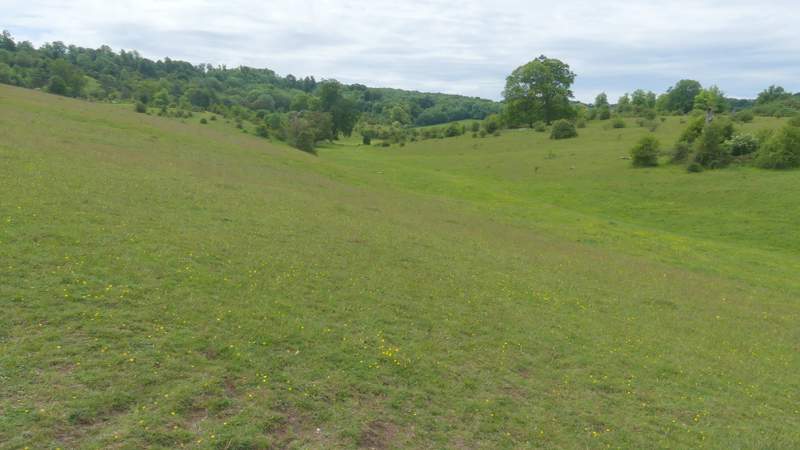
The same path continuing towards Tring
The path continuing beside the A41
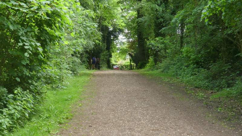
The path continuing towards Tring Park, after crossing Hastoe Lane
Within a few yards, just past a footbridge on the left, I reached a notice board on my right. Immediately after this two paths (rather indistinct, today) forked half-right from the same place. I took the left-most one, aiming for a white strip of chalk I could see where the path rose up a short but steep dip ahead of me. It was very pleasant walking through the park, but I missed seeing the butterflies that are here when I usually do this walk a month or two later than this. The path was heading for a wooded slope, and when it reached the foot of the slope it went through a gate and turned half-left to rise uphill towards a tall obelisk. Several paths radiated from the obelisk, I took the second one to my right (i.e. not the one immediately on my right, but the next one), which rose more steeply through the trees and bushes. At the top of the slope I went straight on (or very slightly left) to leave the park at a gate and reach Fox Road on the edge of Wigginton. I turned right along the road and followed it until it turned left, when I crossed over to a gate, and turned left behind a hedge with a park on my right. I stayed with the path as it turned right in the next corner of the park. When the path took me out of the park, I continued down a short street. At its end, I crossed another street and went straight on down a path that took me into the playing field where I'd parked at the start of the walk.
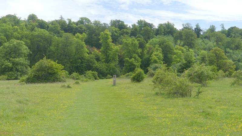
The path across Tring Park after I took the left-most of two paths that forked half-right
Tring Park
The path across Tring Park
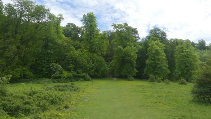
The path across Tring Park
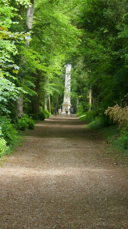
The path continuing up to the Obelisk
The path going uphill from the Obelisk
The path out of Tring Park to Wigginton
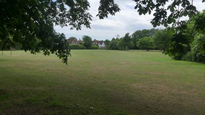
The small park in Wigginton
As I've said before when I've done this walk, I always enjoy it. It's very useful for me when I have only time for a morning or afternoon walk, as it only takes a little over two hours and is not too far a drive from my home. I've only walked it once in the other direction though, and doubt I'll do it that way again as it means losing the best views (descending from Stubbings Wood towards Tring) without getting any in compensation (the steep downhill the other side of Tring Park is in trees).