Pete's Walks - Hambleden, Colstrope, Medmenham, Fawley (page 1 of 7)
If you are considering walking this route yourself, please see my disclaimer. You may also like to see these notes about the maps and GPX files.
Google map of the walkDownload GPX file of the walk
NOTE: You now have to pay to use the car park in Hambleden. I usually manage to park along the village street to the west of the church (looking at the church from the village centre, take the street on the left and follow it round to the right).
I did this circular walk of about 14.7 miles on Sunday, 9th June 2019. It was a repeat of a walk I did in January 2018, but this time I did it clockwise. Just over half the route was on paths I'd not walked in this direction before.
I parked in the village car park at Hambleden (Grid Reference SU 785866) and started walking about 10.15am. I turned left from the car park to the triangular village 'square' where I followed a street half-left to leave Hambleden and reach the main road through the Hambleden valley. Across this I started along a footpath that gradually rose uphill through part of Ridge Wood, curving slightly right as it went over the end of a ridge and descended the other side. The path ended when it met a bridleway running along the southern edge of the wood, where I turned right. After a few hundred yards the bridleway continued between hedges either side to reach a bridleway T-junction (I was almost crashed into by a cyclist here, who apologised - I didn't hear him coming, due to the noise coming from a music festival nearby).
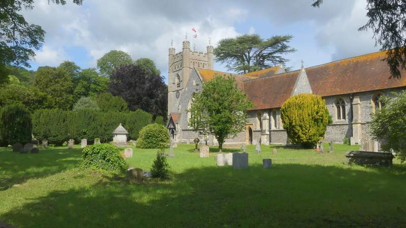
Hambleden church
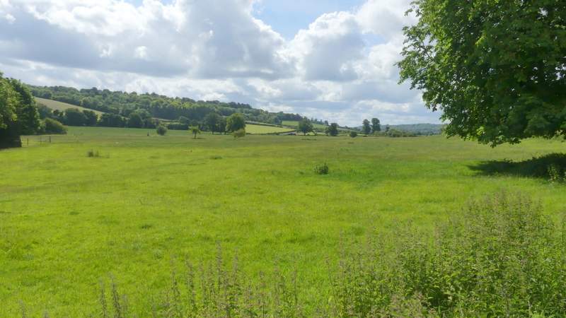
View from the edge of Hambleden, along the Hambleden valley towards the Thames valley
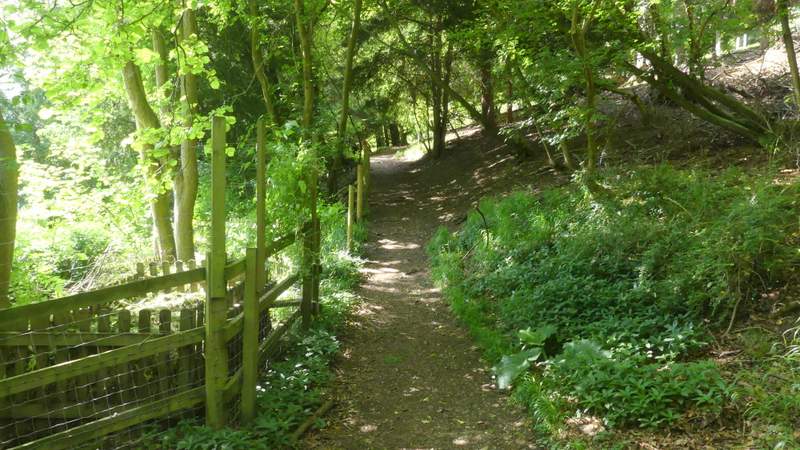
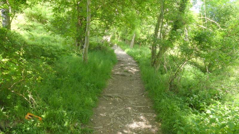
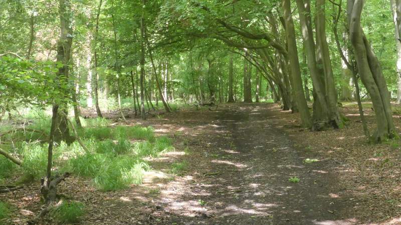
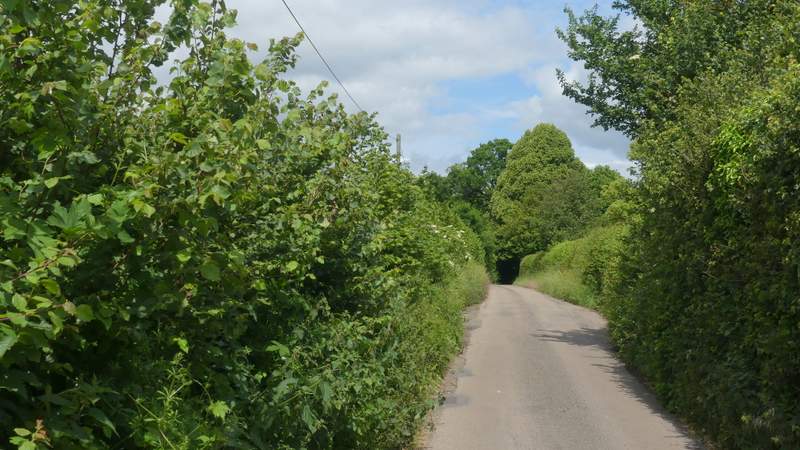
The path through Ridge Wood
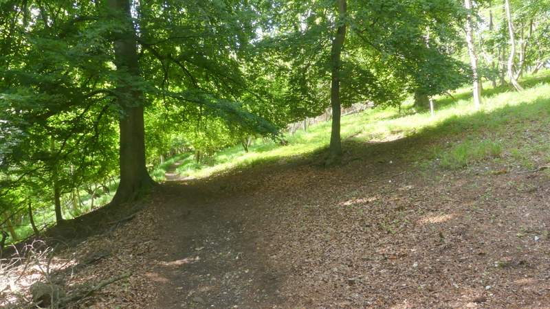
The path through Ridge Wood
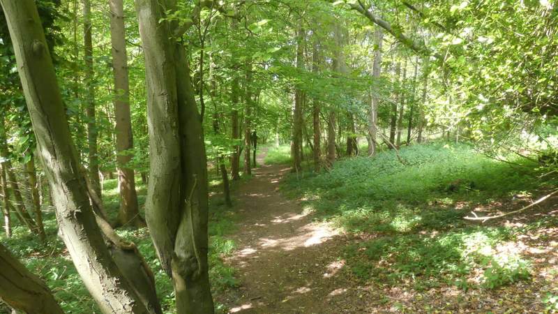
The path through Ridge Wood
The bridleway through Ridge Wood after I turned right
The bridleway continuing from Ridge Wood
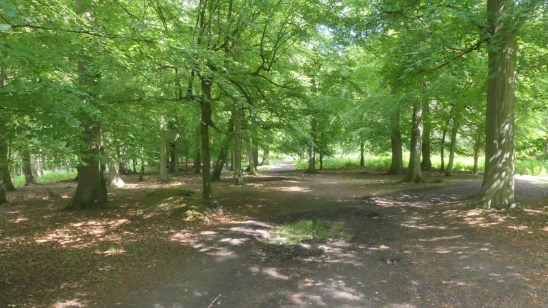
I turned right for a few yards and then turned left, following a path uphill to Great Wood (I kept right at an apparent fork in the path). On entering the wood the path continued uphill a little further before levelling out. It was a long and pleasant stretch of about a mile through the wood, the bridleway then continuing between hedges (the one on the right being tall and often overhanging), eventually curving left (there was a fine view to the left here) to reach a lane in Fawley by a property named The Round House (it has a round tower).
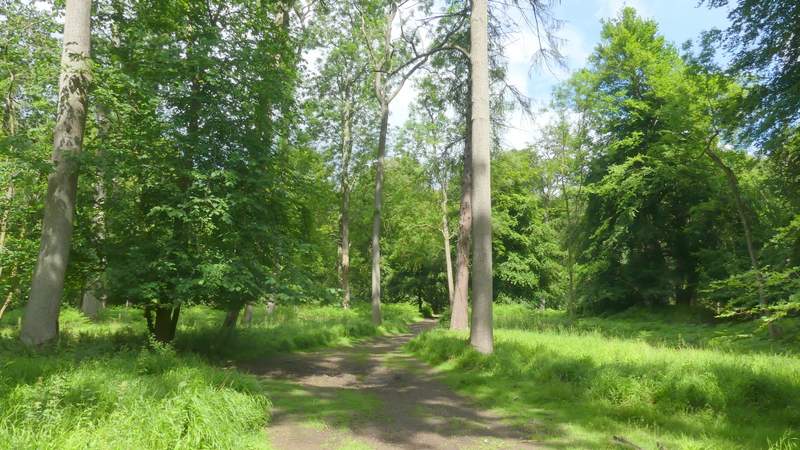
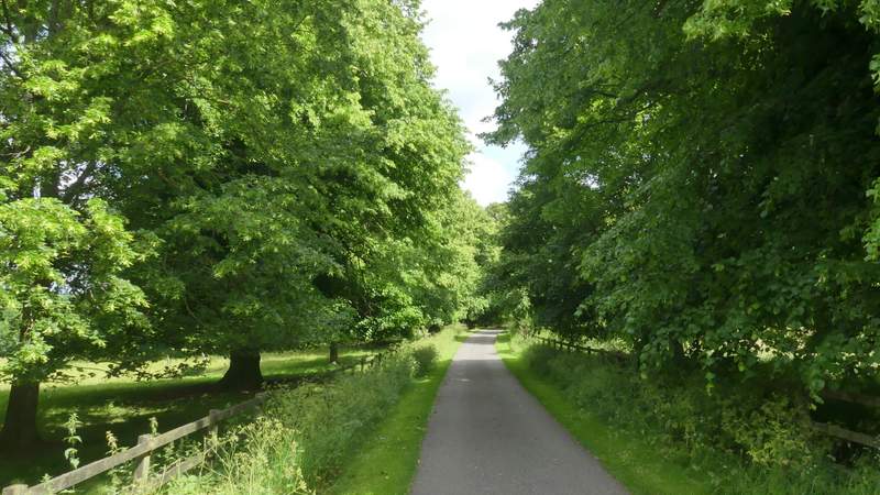
The bridleway heading up to Great Wood
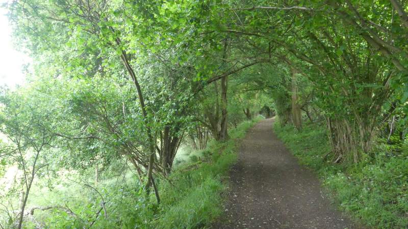
The bridleway continuing through Great Wood
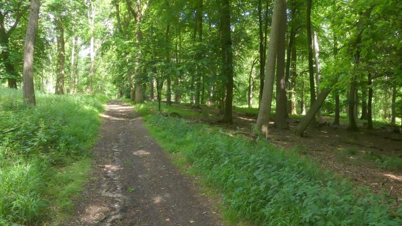
The bridleway continuing through Great Wood
The bridleway continuing through Great Wood
The bridleway continuing through Great Wood
The bridleway continuing through Great Wood
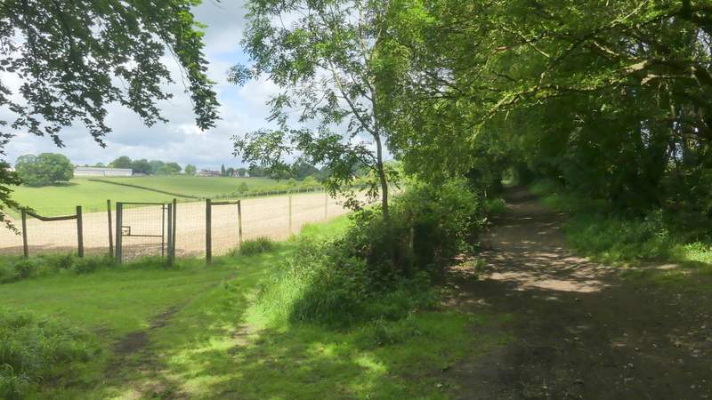
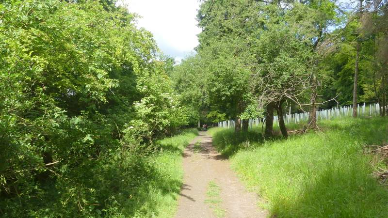
The bridleway continuing from Great Wood to Fawley
The bridleway continuing from Great Wood to Fawley
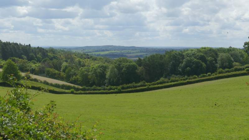
View left just before reaching Fawley
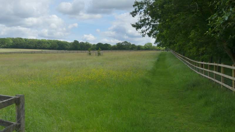
I went right here, following the lane until just before it started to drop downhill, where I took a path on the right that followed a tree-lined drive to Lower Woodend Farm. Through a gate, the path continued along the right edge of a meadow, then continued for some distance between fences either side, passing more meadows - I saw my first Meadow Brown butterfly of 2019 along here.
The lane at Fawley
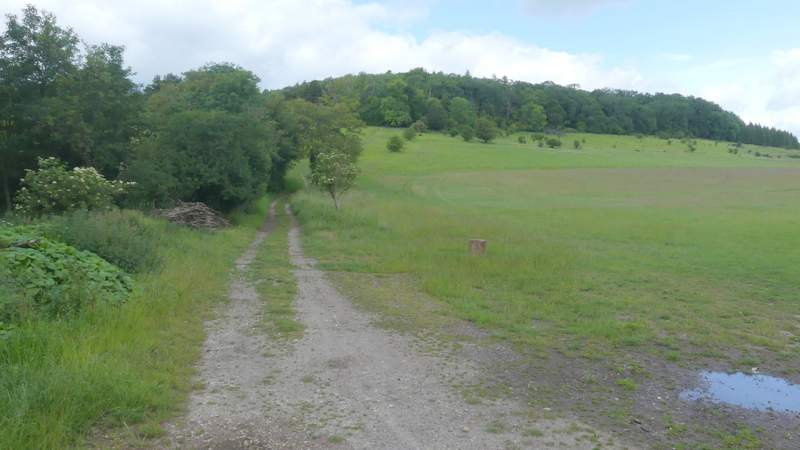
The path along the drive to Lower Woodend Farm
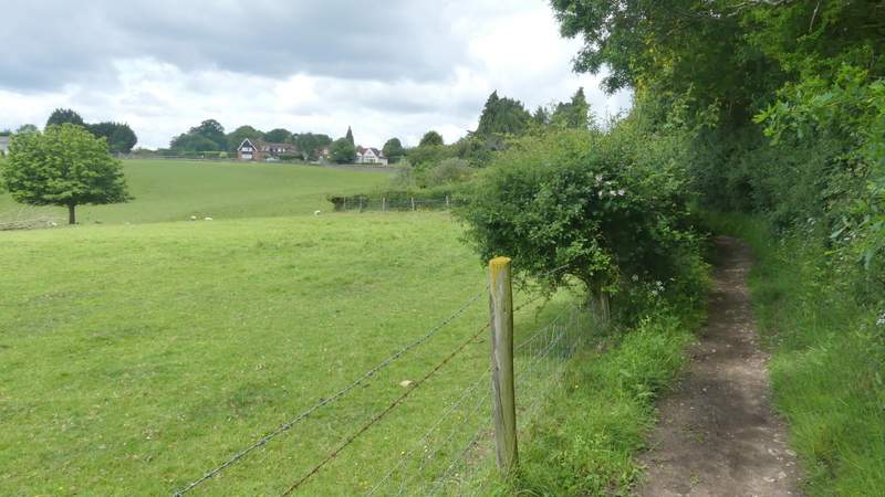
The path continuing from Lower Woodend Farm
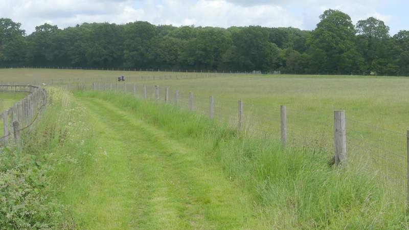
The path continuing from Lower Woodend Farm