Pete's Walks - Christmas Common, Ibstone, Cookley Green (page 3 of 7)
If you are considering walking this route yourself, please see my disclaimer. You may also like to see these notes about the maps and GPX files.
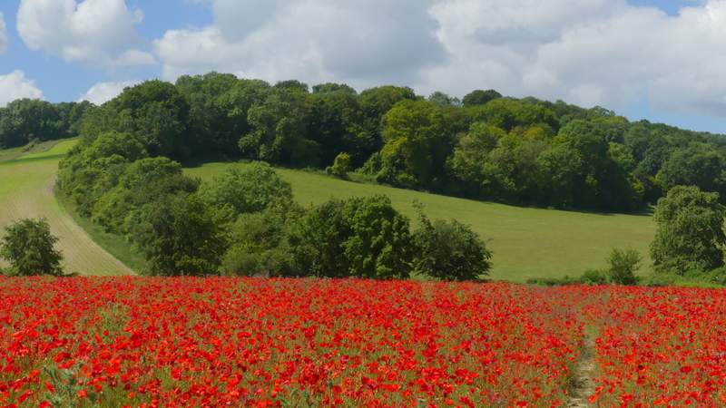
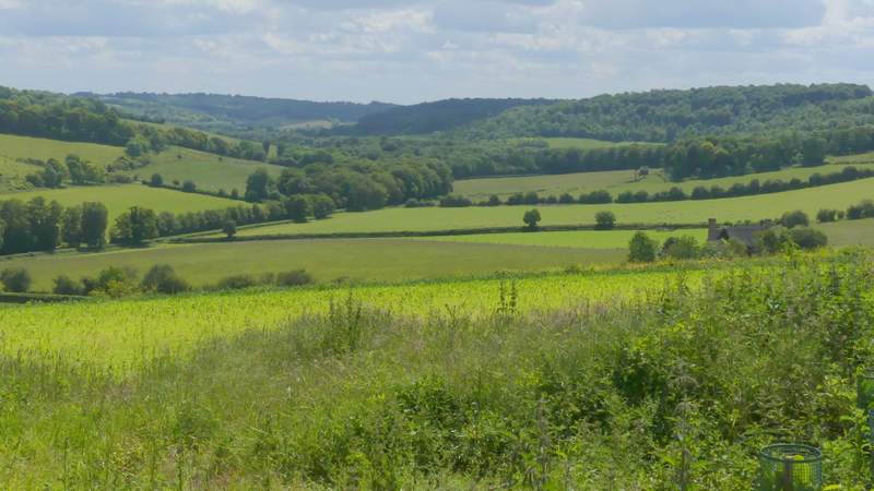
There were some nice vies across and along the Wormsley Valley as I crossed the field, the Poppies making a nice colourful foreground. The path ended at a gate where a bridleway met one of the Wormsley Estate drives. I went a few yards left and took another bridleway on the other side of the drive, which immediately entered a tree belt and started to rise uphill towards Northend. After a few hundred yards it joined another drive at a bend, continuing straight on uphill, now with a fine view towards Turville on my left. After a while I passed a gate on the right where there was a good view back over the Wormsley Valley. The drive turned left and then right (on the corner here there was another view on the left towards Turville), then passed by Northend Farm to end at Holloway Lane.
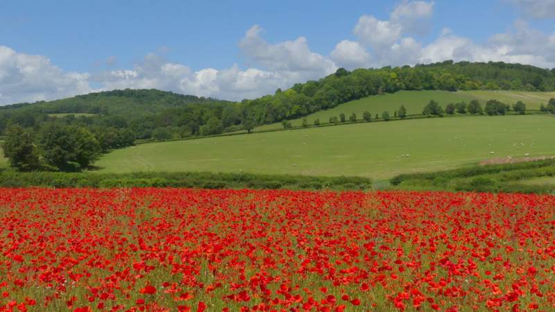
The path continuing from Hale Wood, through the Poppy field I'd seen earlier (the route continues through the curving tree belt on the left)
View right from the middle of the Poppy Field
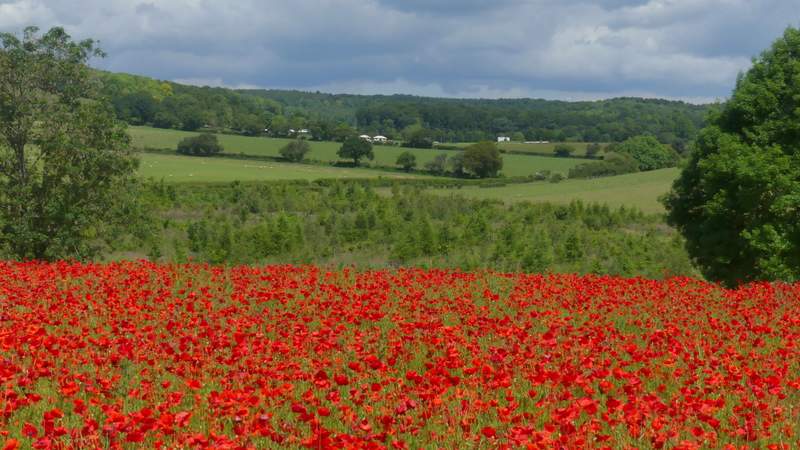
View half-right from the middle of the Poppy Field (I'd crossed that large sheep pasture earlier, it was at a gate on the far side of it that I'd taken the photo of the Poppy field)
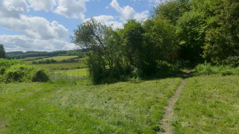
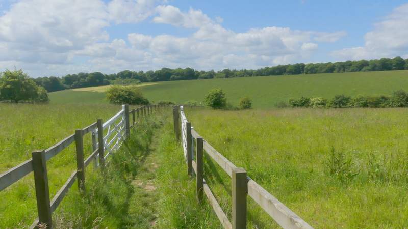
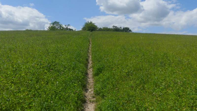
The start of the bridleway up to Northend
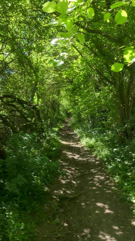
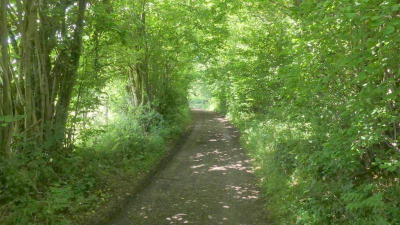
The bridleway up to Northend, running through the tree belt
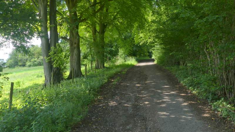
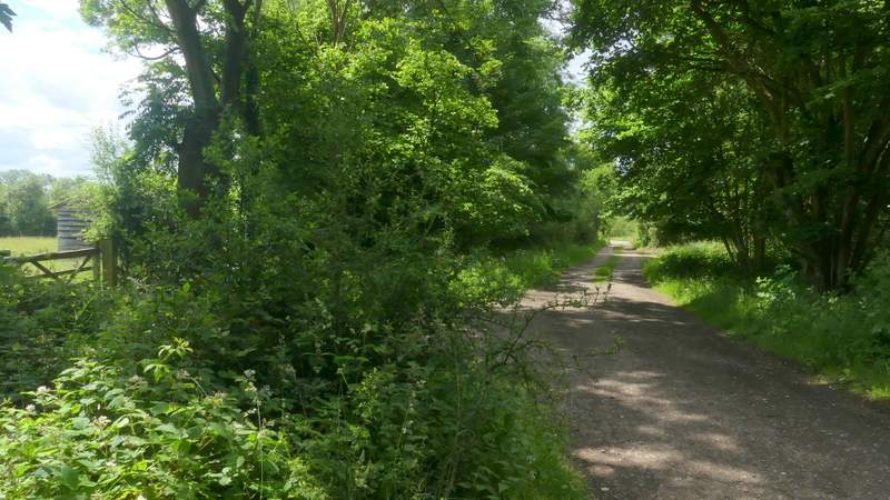
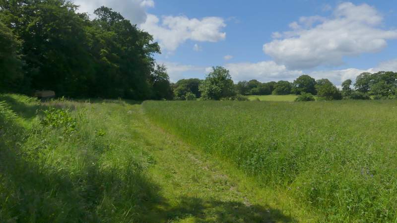
The bridleway up to Northend, approaching the section along the surfaced drive
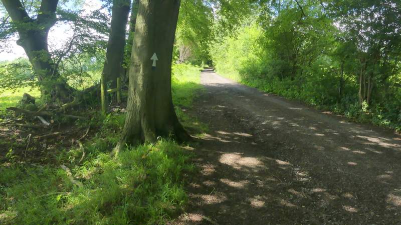
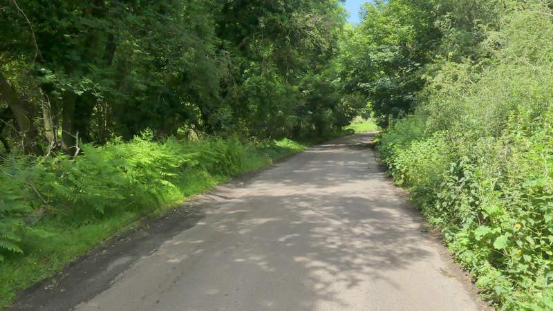
The bridleway up to Northend, now on the section along the surfaced drive
View left from the bridleway up to Northend
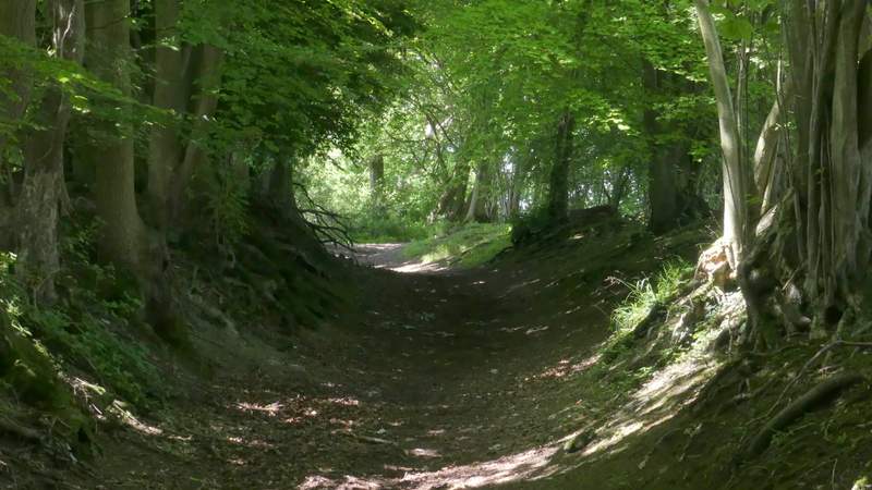
The bridleway up to Northend
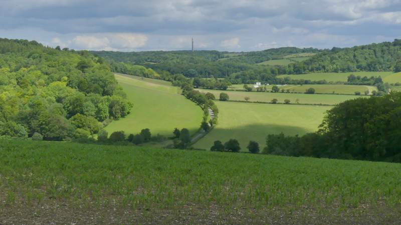
View right from the bridleway up to Northend, looking back over the Wormsley Valley
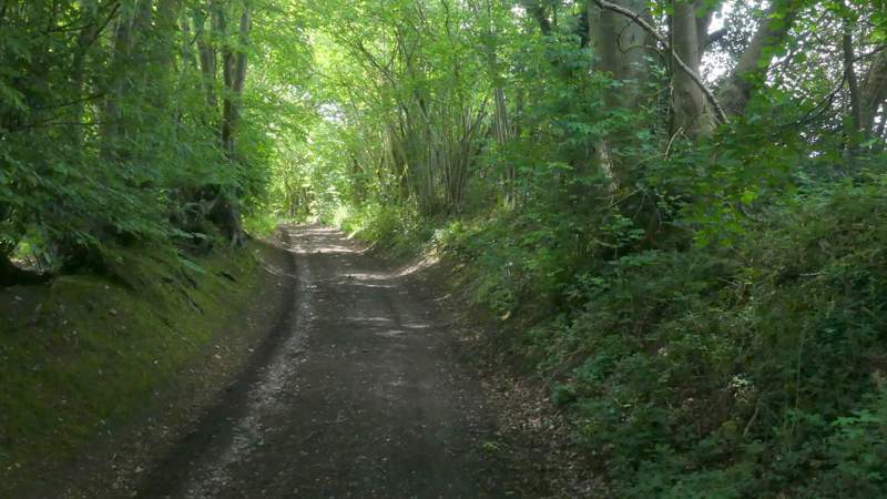
The bridleway up to Northend
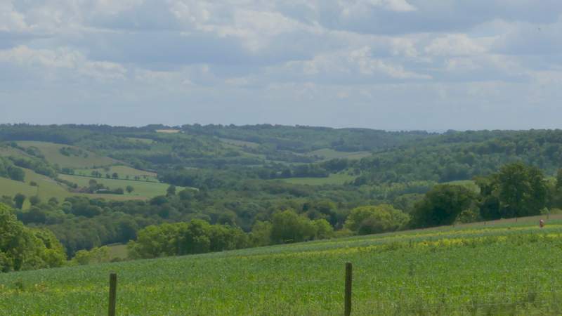
View left from the bridleway up to Northend
The bridleway up to Northend
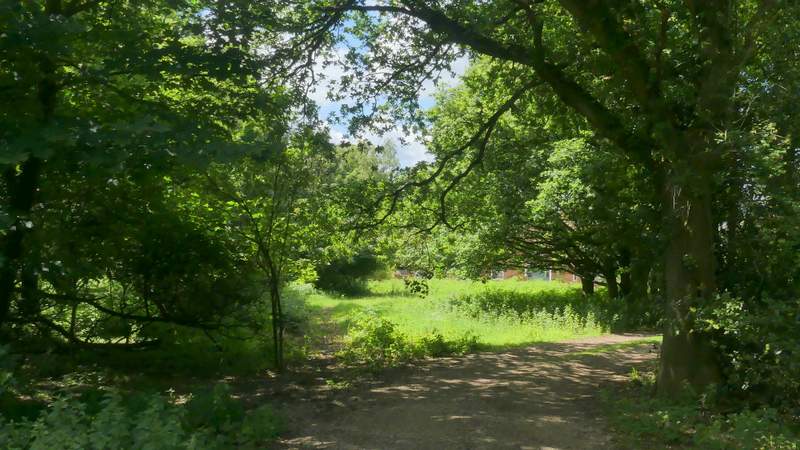
Approaching the end of the bridleway at Holloway Lane
I turned right, immediately coming to the end of the lane at a junction, where I went straight on down the minor road through Northend (I could have just followed it a mile or so back to where I'd parked). After about a quarter of a mile, I turned left where a waymark post on the right indicated that a path crossed the road. A few yards along a drive I forked left across some grass, then the path (part of the Chiltern Way) crossed a drive and continued between garden boundaries and then a short way between fences. The path then cut across a small corner of a field, before the path ended at a T-junction with a bridleway. Here I turned left, following the bridleway along the bottom of a shallow valley to reach Fire Wood. I continued through the wood, going straight on at a crossroads where the bridleway changed to a footpath. The path started to climb quite steeply just before it left the wood, continuing uphill through a corn field to reach a hedge corner, where it levelled out and went slightly right to reach a track called Hollandridge Lane.
The road through Northend
The start of the path from Northend (it turns off the track through the sunlit grass)
The path from Northend
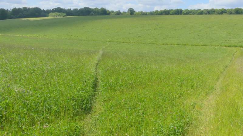
The path from Northend (this is the first year for many years where it has actually run through the corner of the field, I've usually had to follow the field edge, shown on the right here)
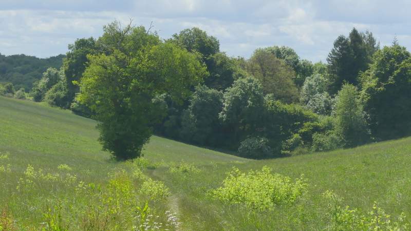
The path to Fire Wood
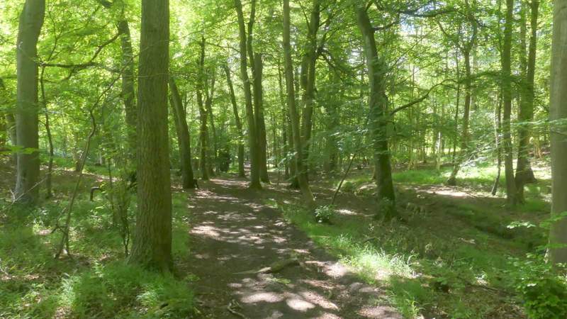
The path through Fire Wood
The path continuing from Fire Wood
The path continuing towards Hollandridge Lane