Pete's Walks - Shortened version of Kensworth-Totternhoe walk (page 2 of 6)
If you are considering walking this route yourself, please see my disclaimer. You may also like to see these notes about the maps and GPX files.
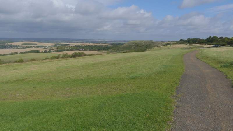
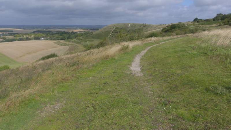
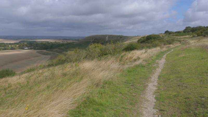
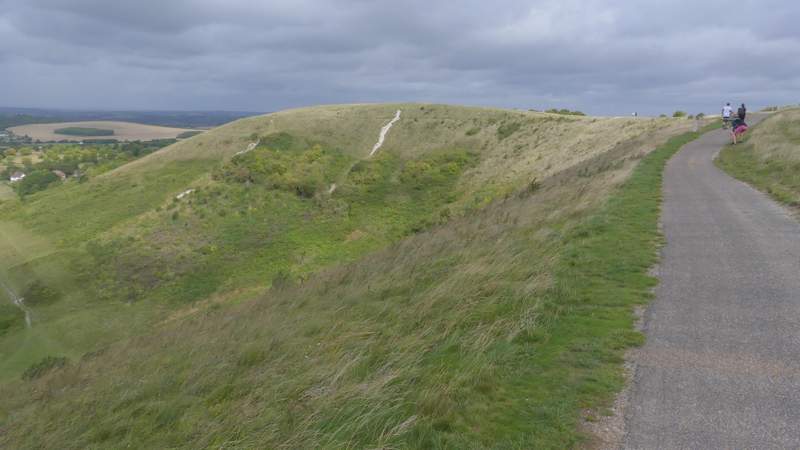
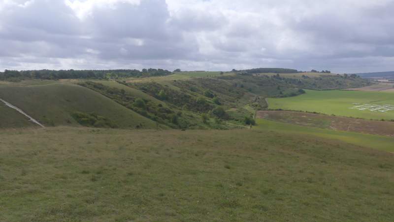
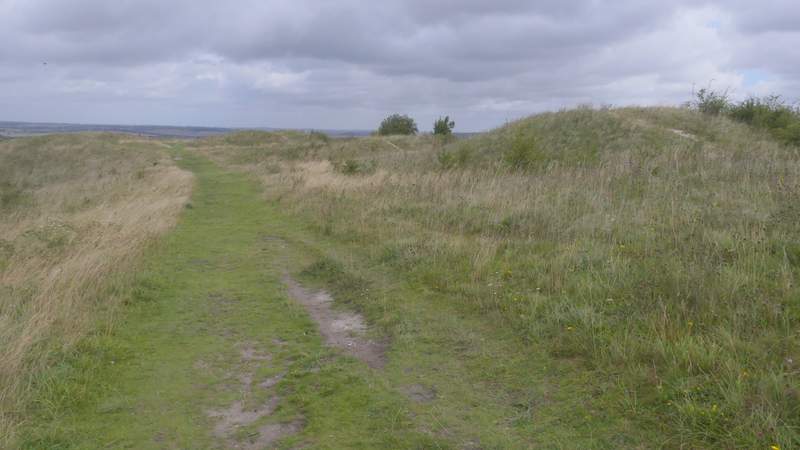
Eventually I turned right at a yellow-topped waymark post (I nearly missed it, it only became visible as I drew level with it). A short path led through trees to a T-junction where I turned left along a bridleway, with Dunstable Downs golf course over the fence that was now on my right. I soon reached the road over Dunstable Downs, where I crossed over and walked through a car park before turning right along the top of the downs. It was very pleasant as usual walking along here, especially so as there were surprisingly few other people about. At first I followed the surfaced path, then went half-left across the grass to pickup a parallel path. This soon brought me back to the surfaced path, which I followed a little way (as usual it was windier here than anywhere else along the Downs) before turning right and making my way to the top of Orange Hill. From here I still had the views out over the Vale of Aylesbury, but also had a good view back along the line of the Downs.
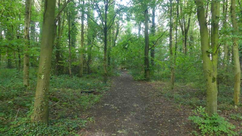
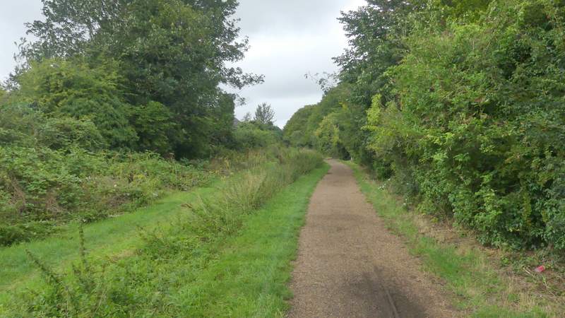
The short path after I turned right from the path round Kensworth Quarry
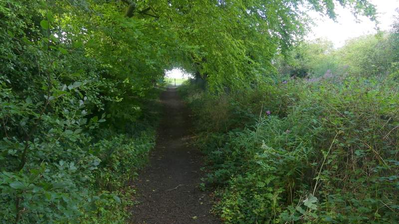
The bridleway to Dunstable Downs
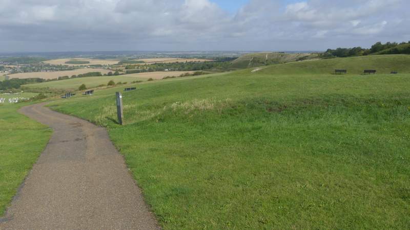
The path along Dunstable Downs
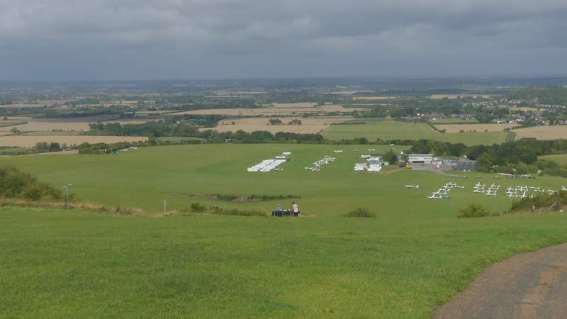
View over the London Gliding Club and the Vale of Aylesbury from Dunstable Downs
The path along Dunstable Downs (the hill sticking out at the end is Orange Hill)
The path along Dunstable Downs
The path along Dunstable Downs
The path along Dunstable Downs, approaching Orange Hill
I turned right from Orange Hill, and followed a path towards the Five Knolls (a group of ancient burial mounds). Beyond them I went through a metal gate, and dropped down a grassy slope to reach Tring Road, Dunstable (a little left of a roundabout) where I used a pedestrian crossing to reach the other side. A few yards right, I went half-left through a small car park and then left along Green Lane, an old drove way. Again I preferred to use a parallel grassy path to the surfaced path here (part of the National Cycle ways). After a few hundred yards the broad 'lane' left the environs of Dunstable and continued between hedgerows.
View back along Dunstable Downs from Orange Hill
Five Knolls (ancient burial mounds)
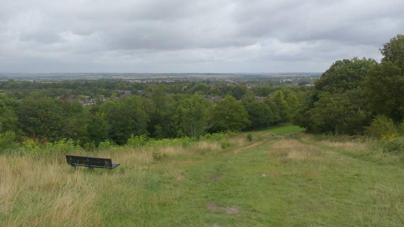
The start of path down to Dunstable from the Five Knolls
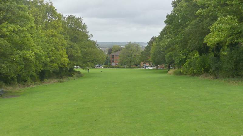
The path entering Dunstable
Green Lane, Dunstable
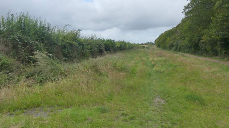
Green Lane, continuing towards Totternhoe