Pete's Walks- Watlington Hill, Russell's Water, Swyncombe (page 1 of 6)
If you are considering walking this route yourself, please see my disclaimer. You may also like to see these notes about the maps and GPX files.
UPDATE 30/10/2023: You now have to pay (£3 a day, I believe) at Watlington Hill car park, unless you are a National Trust member.
I did this circular walk of about 14.8 miles on Saturday, 31st August 2019. It was a repeat of a walk I did in March 2010, but in the opposite direction (clockwise) - I'd also followed the route in this direction once before in April 2016. I deviated slightly from the original route today by taking a much nicer path along the open top of Swyncombe Downs (this is my usual route here, I only used a far less interesting path up the side of the Downs for this route because I'd not walked it before).
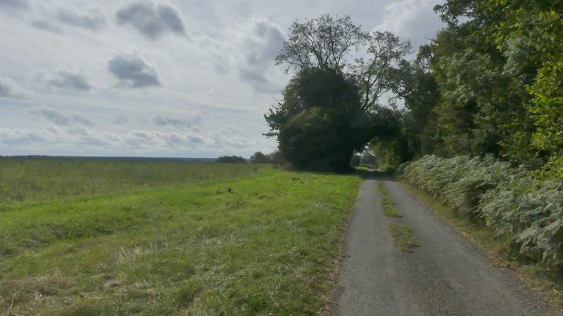
I parked in the car park at Watlington Hill (Grid Reference SU 709936) and started walking about 10.10am. From the entrance to the car park I turned right and followed the road for about a quarter of a mile to a T-junction. I turned right to enter Christmas Common, but very quickly took a road forking left. About a hundred yards down it I forked right into Hollandridge Lane. I followed the lane past a few cottages and then out of the hamlet, where the lane became a track.
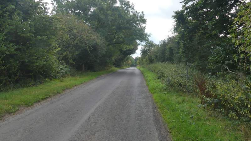
The road from the Watlington Hill car park to Christmas Common
Near the start of Hollandridge Lane
Hollandridge Lane, just after it leaves Christmas Common
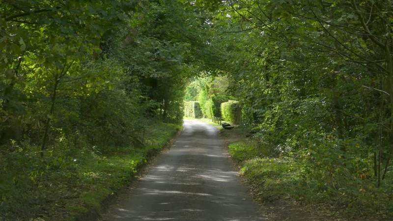
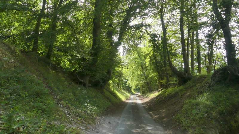
As I continued along Hollandridge Lane, there was a nice section with woodland either side, then the track carried on between tall hedges. The track followed the top of a typical Chiltern Ridge, with the bridleway through Fire Wood that I have walked many times down in the valley on my left. I used to walk this part of Hollandridge Lane quite often, but I don't think I've done so since I walked this route in 2016. As on that occasion I seemed to get to the path junction near Hollandridge Farm quicker than I'd expected, but as I thought then, this is probably because most times when I've walked this part of the lane I've done it in the opposite, slightly uphill direction, and at the end of a long walk when I've been very tired.
Hollandridge Lane
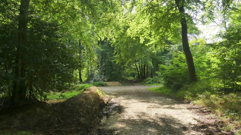
Hollandridge Lane
Hollandridge Lane
Hollandridge Lane
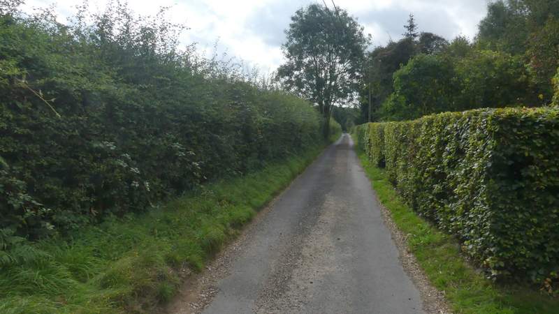
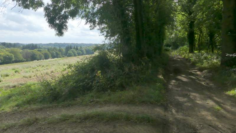
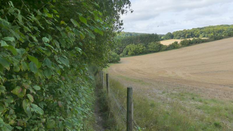
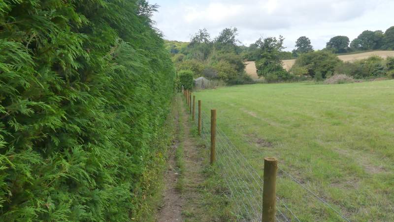
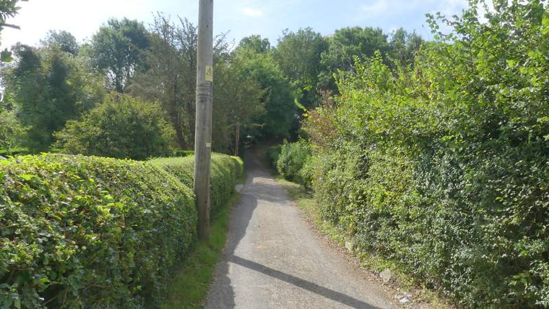
I went straight on when I reached the path junction and soon passed Hollandridge Farm on my left (the track became surfaced at this point, more or less a lane). I had only walked this part of Hollandridge Lane two or three times before. There was a view over a field on my right for a while, then further on I had views over the field on my left when the hedge on that side ended. Soon there were hedges either side again, and then the lane dropped quite steeply downhill with banks on either side (I couldn't quite remember this slope and checked my map to make sure I'd not missed the turning I wanted). Just after the slope eased off I reached another crossing path, where I turned right. The path dropped downhill between a hedge and a fence on my right, then continued past a garden on my left to reach a track, where I turned left for a few yards to reach the road through Pishill.
Hollandridge Lane, from near Hollandridge Farm
Hollandridge Lane
Hollandridge Lane
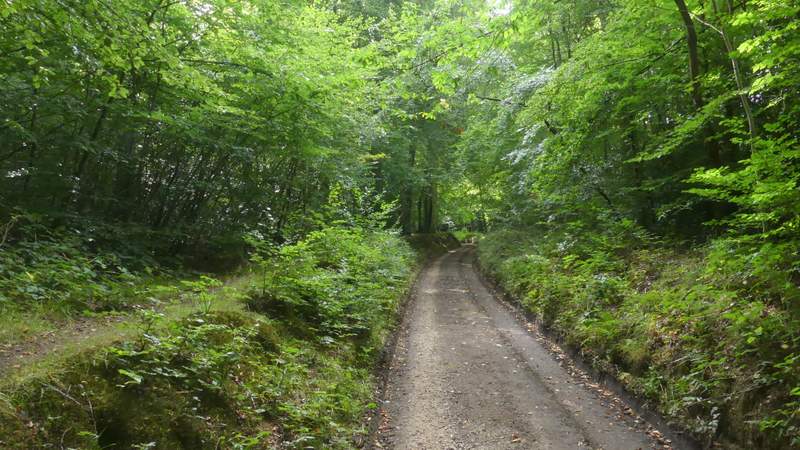
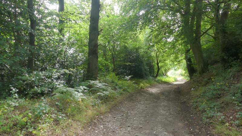
The start of the path going right from Hollandridge Lane
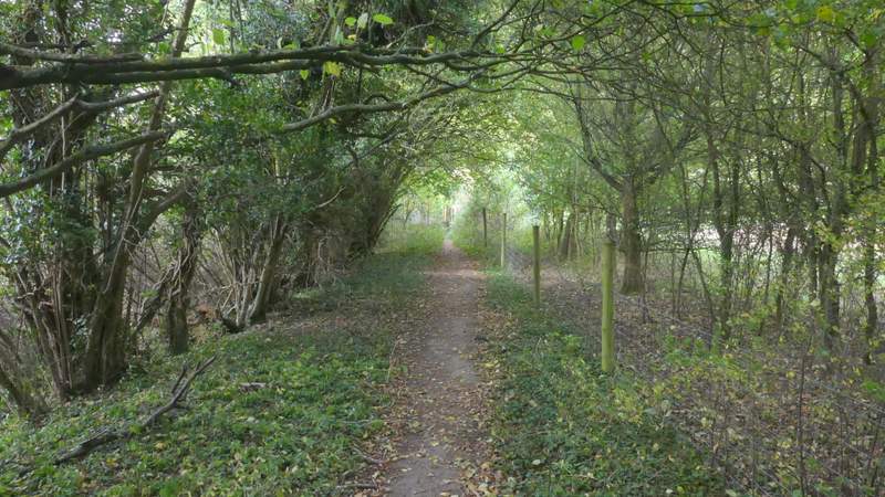
The path going right from Hollandridge Lane
The path going right from Hollandridge Lane
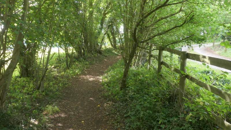
I went right along the road for 50 yards or so, then turned left along a narrow lane heading towards Pishill church. Just after I passed the church on my right, there was a nice view on the left towards the Deer Park around Stonor House. The lane soon ended, being replaced by a drive to a couple of properties. Where this turned right, one bridleway went left but I took a second bridleway that initially ran between hedges just to the left of the drive.
The lane to Pishill church
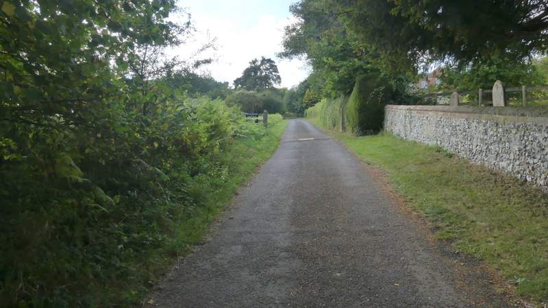
The lane passing Pishill church
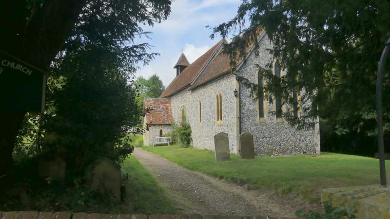
Pishill church
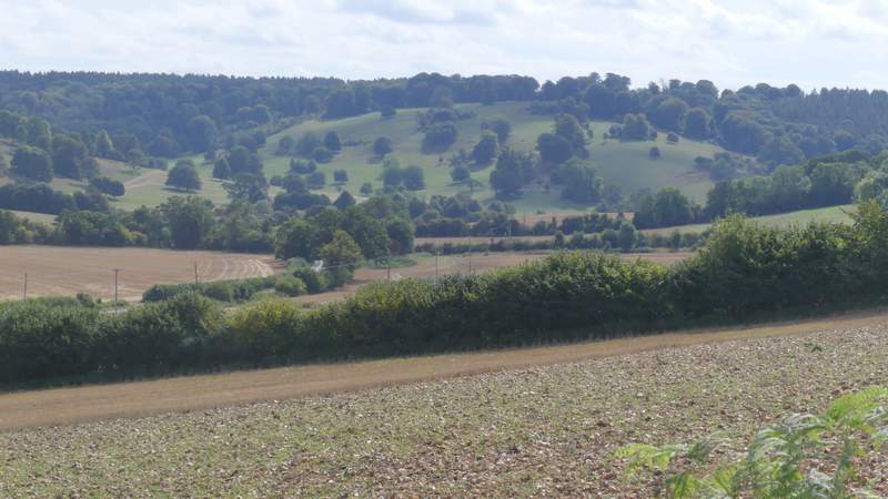
View left towards Stonor Deer Park, from near Pishill church
The start of the bridleway from Pishill to Russell's Water Common