Pete's Walks- Christmas Common, Turville, Cadmore End (page 3 of 6)
If you are considering walking this route yourself, please see my disclaimer. You may also like to see these notes about the maps and GPX files.
Google map (this walk started at Christmas Common instead of Watlington Hill, and follow 'Alternative 1' on the map)
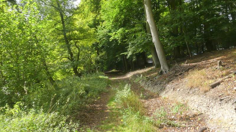
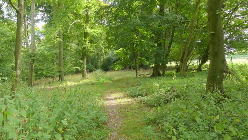
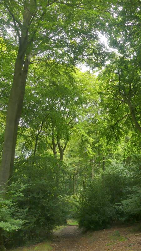
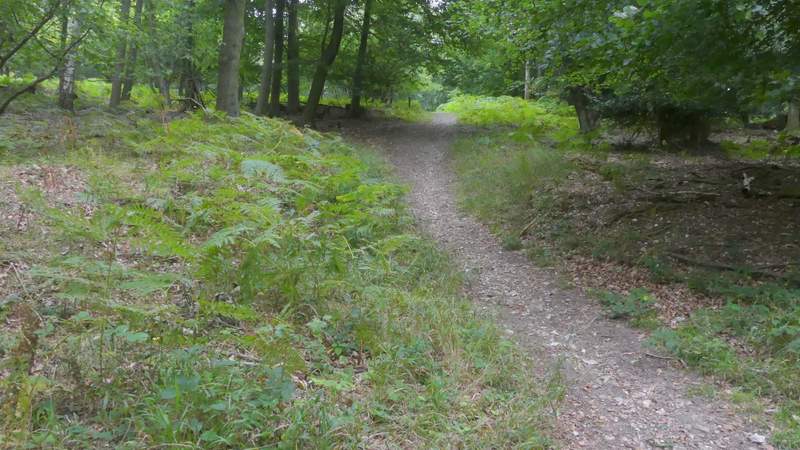
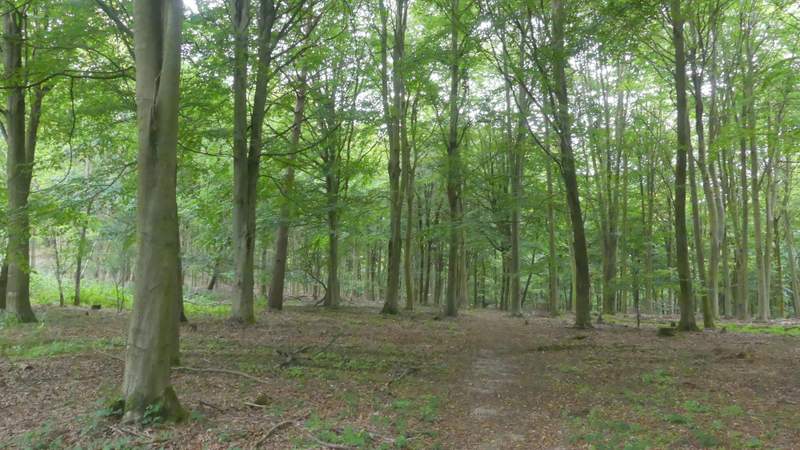
After just over half a mile I came to a path junction where a path came in sharply from the left. I went right, now just inside Churchfield Wood. After a few hundred yards the path turned left and a few yards further on ended where it met a bridleway coming in from the left. I went straight on along the bridleway, but just a few yards further on I turned left onto a footpath (the bridleway continued ahead to Turville Court), still in Churchfield Wood which here was mainly beech and holly. After a short distance a white arrow indicated where the public footpath went right, leaving what looked like a clear path going downhill. The footpath was fairly level for a while, and close to an edge of the wood on my right, but then started to descend. On coming to the bottom edge of the wood, the path went over a stile and continued downhill along the edge of a huge field on my left, to reach Holloway Lane on the edge of Turville.
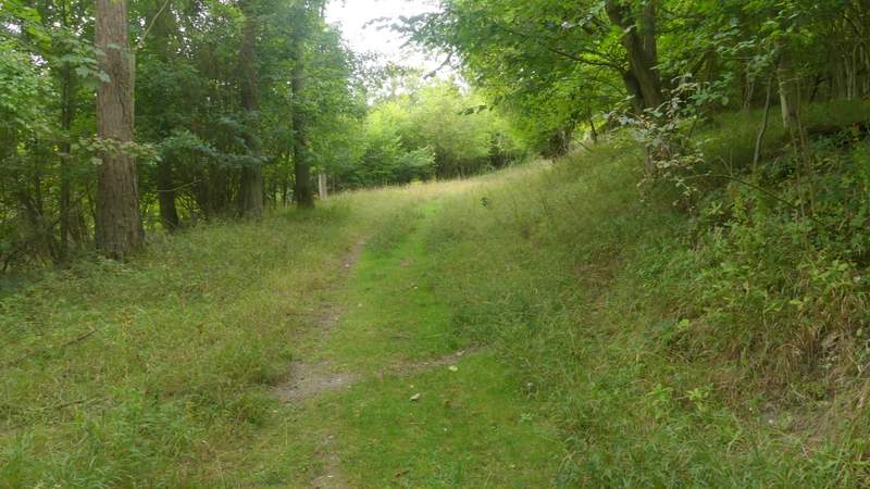
The path after I turned right, now just in Churchfield Wood
Further along that path
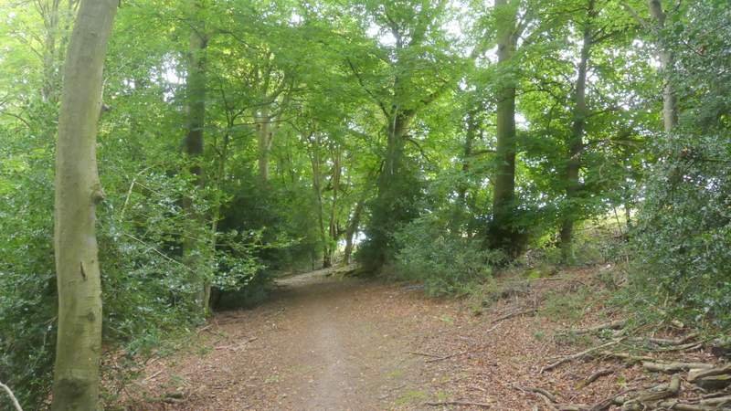
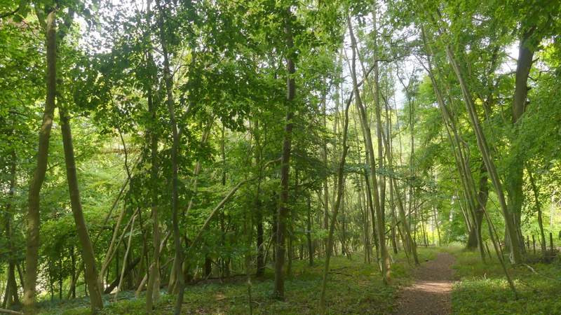
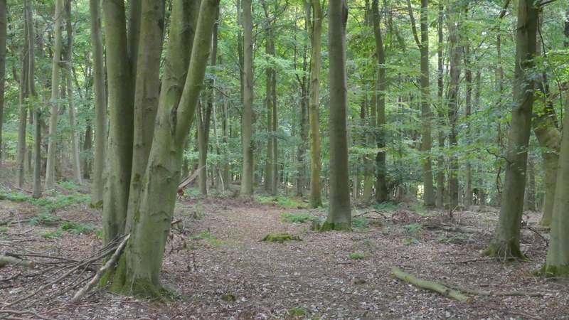
The path through Churchfield Wood, after I turned left
The path through Churchfield Wood
The path through Churchfield Wood
The path through Churchfield Wood
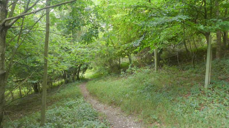
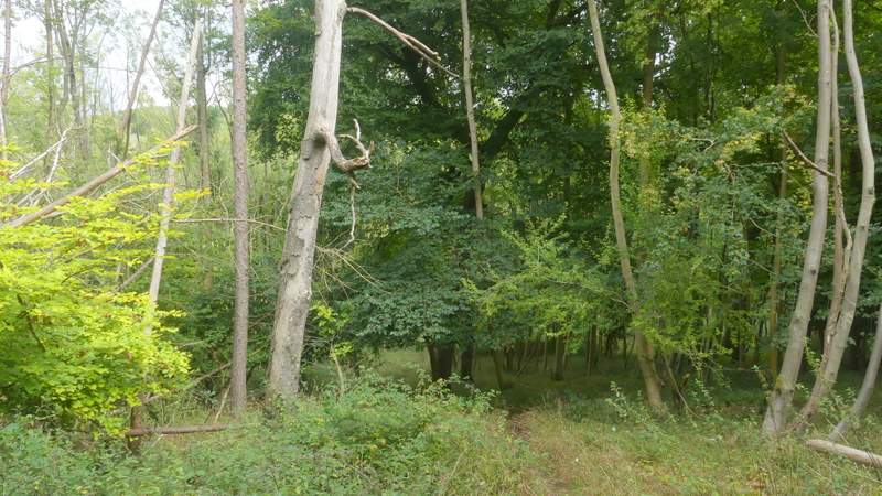
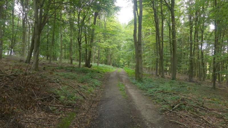
The path from Churchfield Wood to Holloway Lane
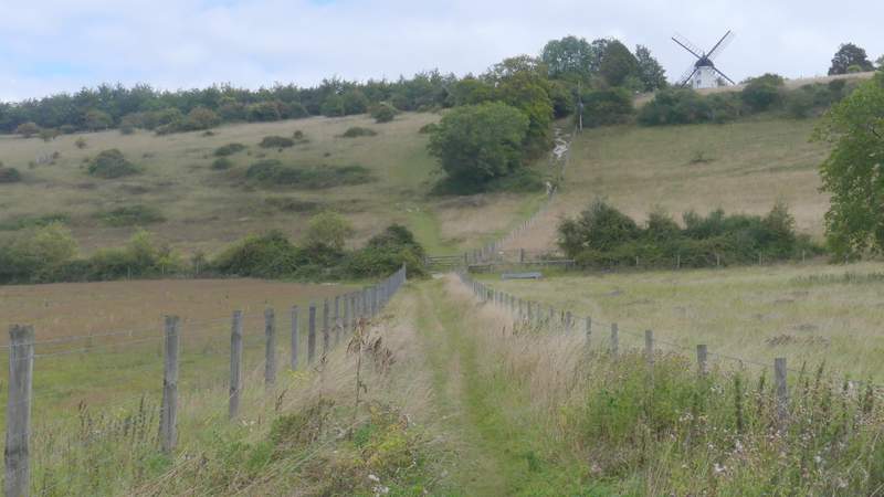
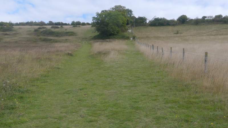
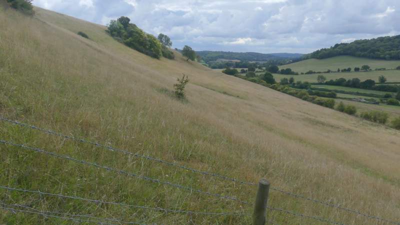
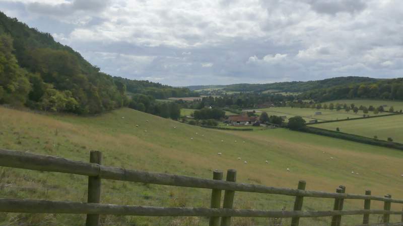
I turned right to enter Turville, and just past the church on my right I took a footpath on the left that started down a track between houses. It went through a gate and continued between fences to reach another gate. The next bit is one of the steepest paths I know in the Chilterns, as it rises up Turville Hill to Cobstone Mill following a fence on the right. Fortunately the very steep part isn't very long. Shortly after bushes and trees appeared to my left, I went a few yards left through a gap in them to an open grass area, from where it was only a short distance to the top of the hill (I could have stayed by the fence a bit longer, but I remembered that way being overgrown one time). I was rewarded for the effort by some fine views over Turville and the surrounding woods, hills and valleys.
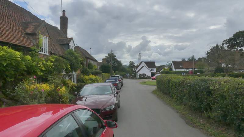
Turville
The path from Turville up Turville Hill
The path from Turville up Turville Hill
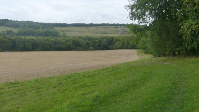
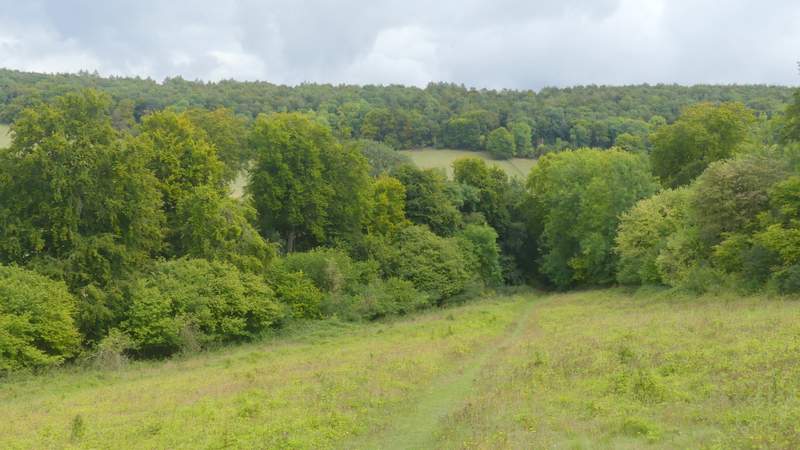
View right from near the top of Turville Hill
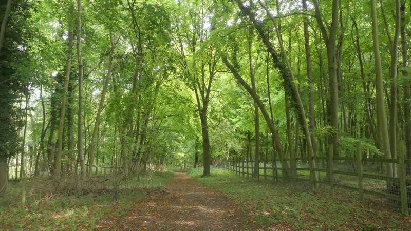
I then went a few yards right along a lane and took a footpath starting on the other side. This started through a wood with fences on either side of the path, but after a while went through a gap in the fence on the left. The path then dropped steadily downhill through the wood, until near the bottom of the slope it emerged into a grassy field. The path continued to a corner of this field where it merged with a bridleway and a few yards further on I reached a lane.
The start of the path down the other side of Turville Hill
The path down the other side of Turville Hill
The path down the other side of Turville Hill
The path down the other side of Turville Hill
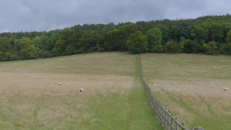
I went right along the lane for maybe a hundred yards, then took a footpath on the left. This followed a fence on my right (separating two large sheep pastures), climbing steadily uphill to Hanger Wood. This isn't as steep as the path up Turville Hill, but longer (and still steep enough!). The path continued further uphill through the wood - when it finally flattened out, arrows and waymarks showed where the path left a track only to cross the same track a little further on. The path ended at a T-junction with a much broader path, where I turned left. This path then merged with a bridleway just as it left Hanger Wood, and I continued along a hedge-lined track for a quarter of a mile or so to reach Cadmore End.
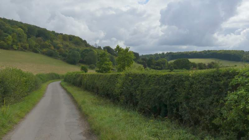
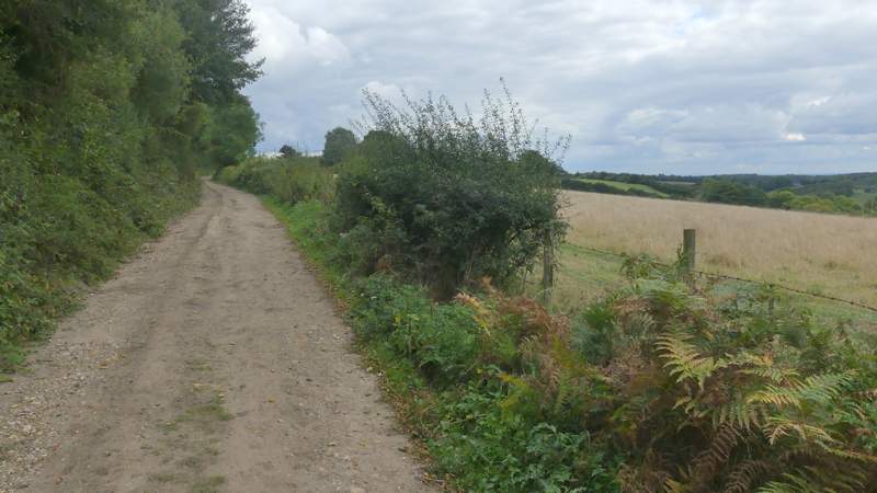
The short lane section (heading towards Fingest)
The path up to Hanger Wood
Looking right, towards Fingest, just before the path enters Hanger Wood
The path continuing up through Hanger Wood
The path continuing up through Hanger Wood
The path continuing up through Hanger Wood
The path after I turned left in Hanger Wood
The bridleway from Hanger Wood to Cadmore End