Pete's Walks - Cadmore End, Horsleys Green, Moor Common (page 2 of 7)
If you are considering walking this route yourself, please see my disclaimer. You may also like to see these notes about the maps and GPX files.
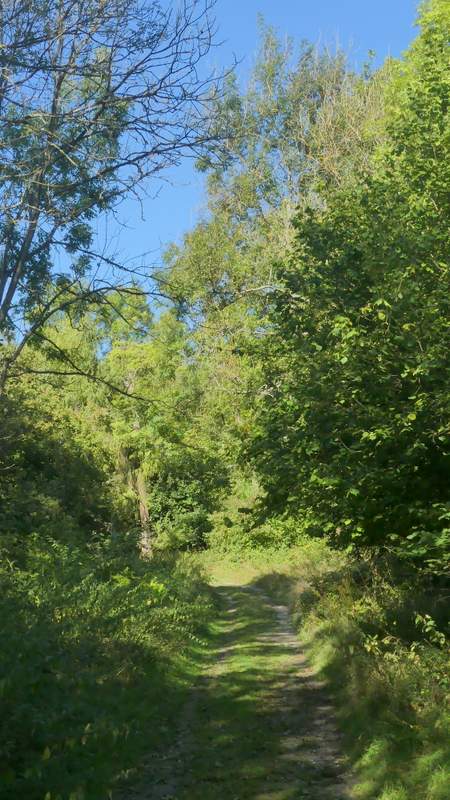
I followed the road as far as the village school (the school's sign has a Red Kite on it), then turned down a bridleway that followed a surfaced drive quite steeply back down into the valley I'd just come up from. This bridleway was the way I came the first two or three times I walked through Ibstone, but I hadn't used it for over ten years. Near the bottom of the slope a sign said 'Preferred Route, avoiding section of drive', so as I hadn't been that way before I tried it. It went a short way left into trees, then turned right and gradually came back to rejoin the drive I'd been on, thus avoiding Twigside Farm. The bridleway was then only briefly on the drive, which was now a track, before turning right into a wood. This soon curved left, and after crossing another drive or track ended at what appeared to be a T-junction. In fact the bridleway goes right here (it's the same one I'd been on briefly in the tree belt before) while a footpath goes left - that was the way I went. I soon crossed the drive or track I'd just been on (there were some farm buildings to the right here) and continued on northwards along the wooded valley bottom.
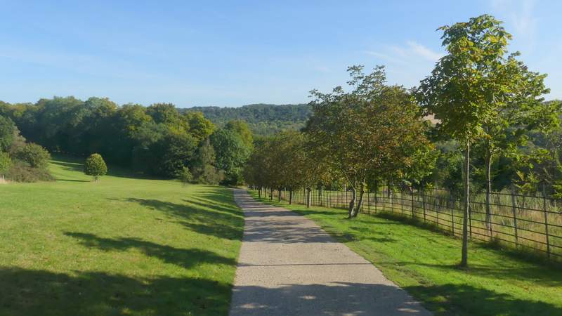
The bridleway descending after I turned right by Ibstone School
The 'Preferred route', avoiding a section of drive
The 'Preferred route', after it turns right
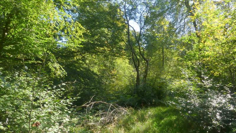
The bridleway just after it turns right from the drive
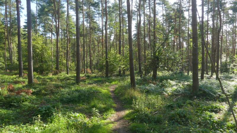
Further along the bridleway

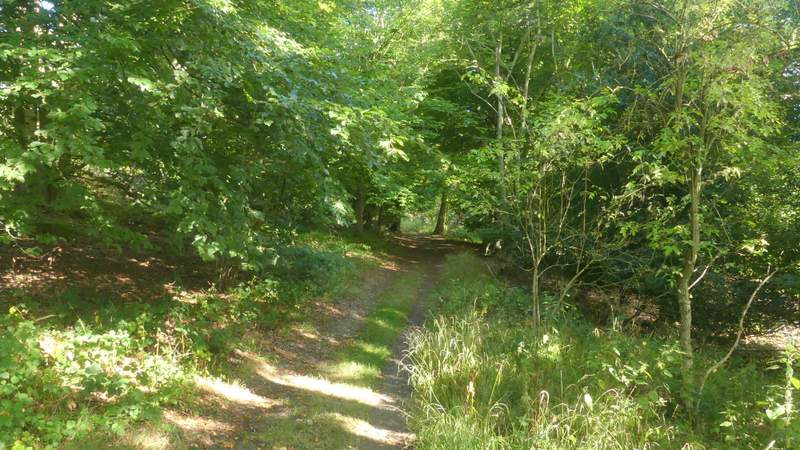
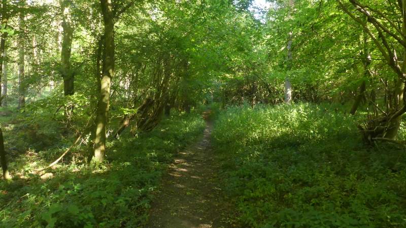
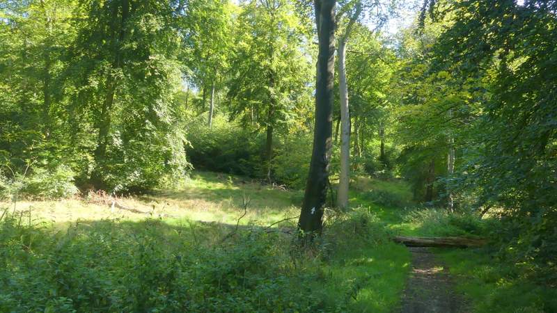
The footpath along Twigside Bottom (just before it crosses the drive I'd been on a few minutes earlier)
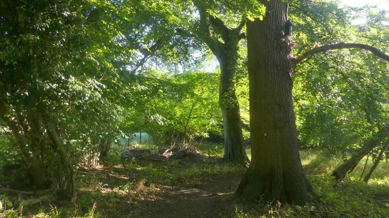
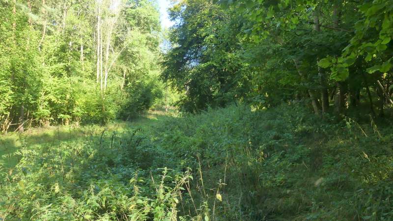
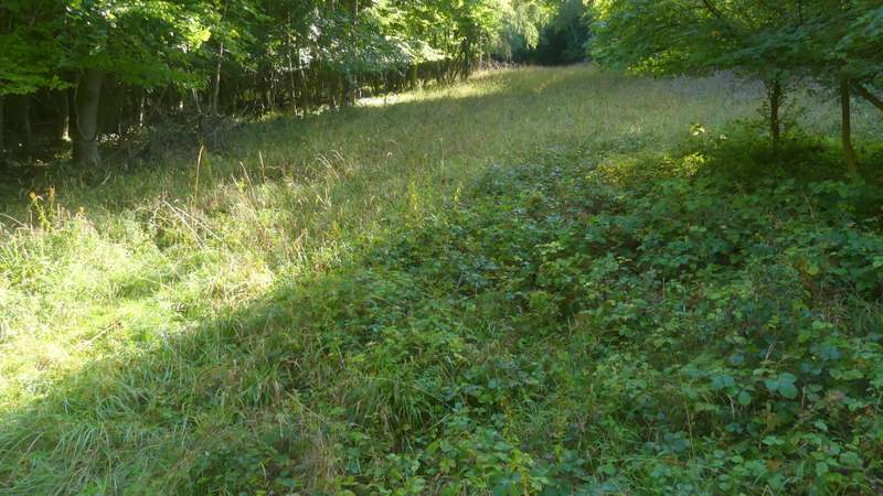
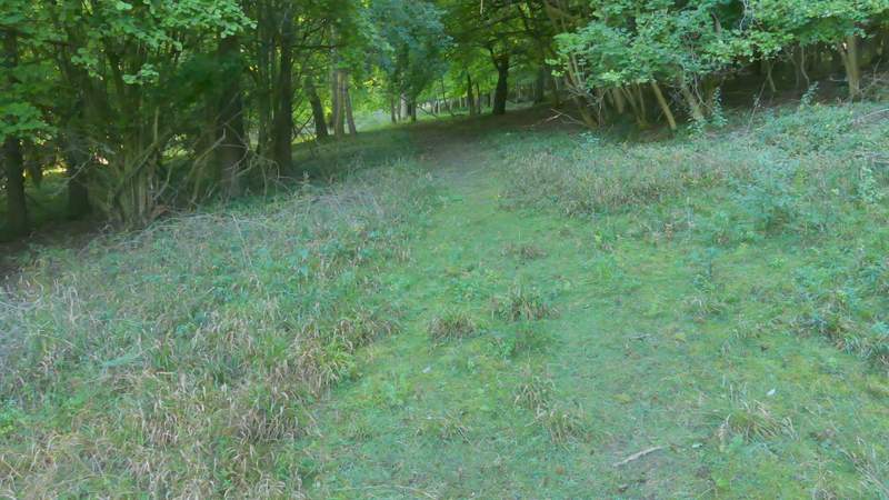
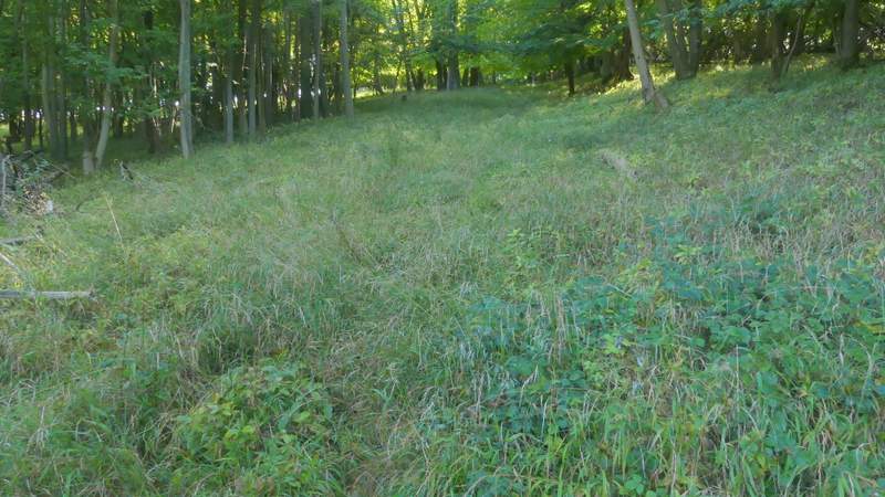
I always refer to all of this long valley as Twigside Bottom, as that's the only name on the OS map, but that may only be the name for a section of it. After about half a mile I passed through a large glade, with a track now visible to my left, where I went straight on at path crossroads (I'd crossed here from right to left on last week's walk. At the end of this glade the footpath joined the track, but soon left it (white arrow on tree) and ran just a few yards to the right of the track for a hundred yards or so before rejoining it (it's easy to miss the white arrows indicating where the path leaves the track, especially coming the other way). After another half mile or so along the track two footpaths went left in quick succession, and not long after the second one I took a footpath going right.
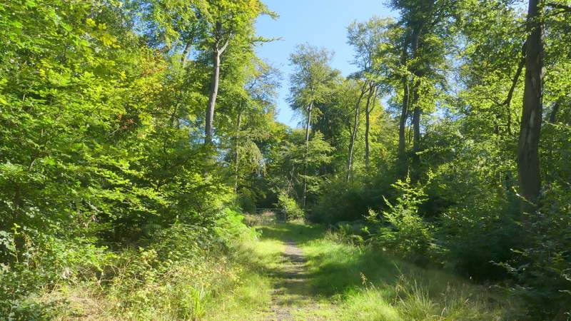
The footpath along Twigside Bottom
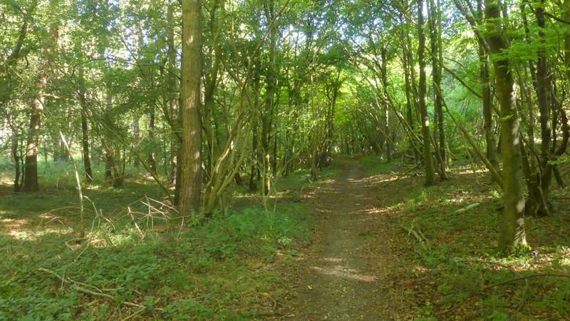
The footpath along Twigside Bottom
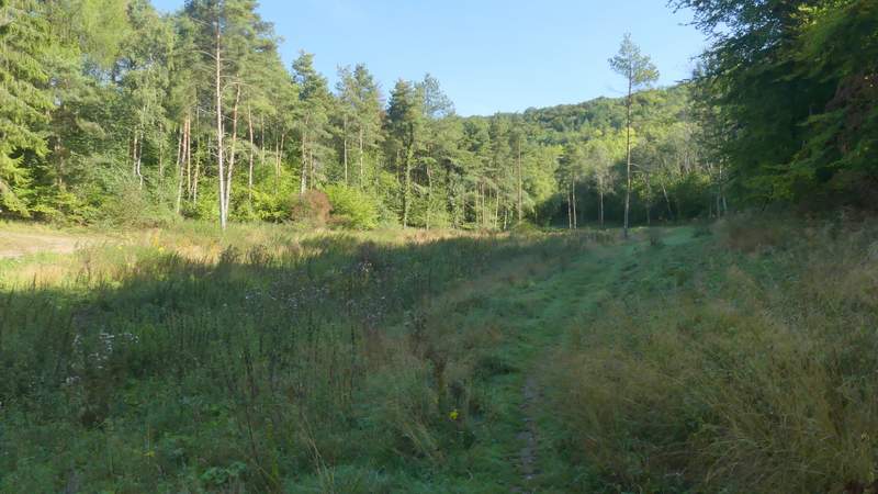
The footpath along Twigside Bottom passing through the glade (just before the path crossroads, where I'd crossed this path on last week's walk)
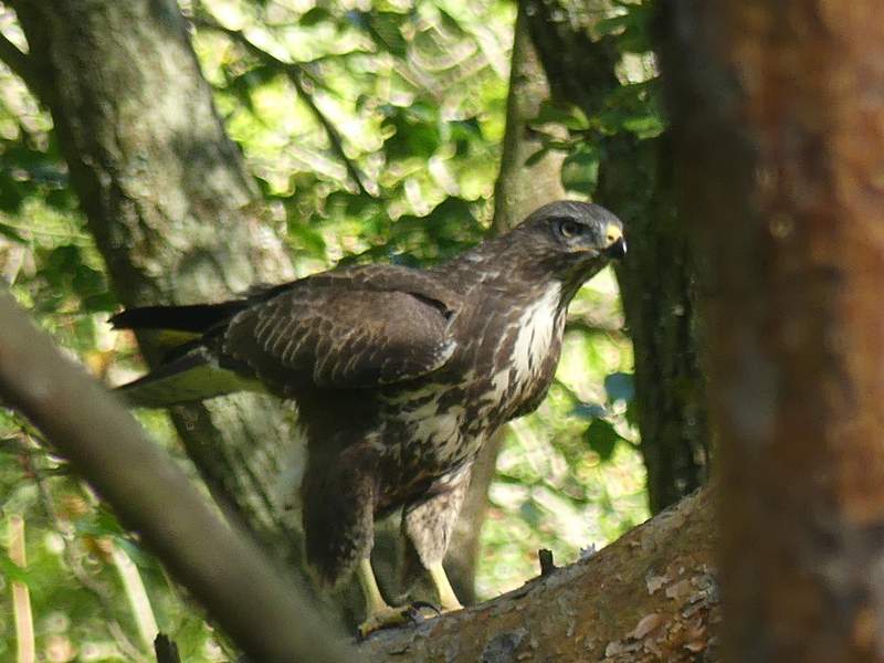
Common Buzzard (a juvenile, I think)
The footpath along Twigside Bottom, where it briefly runs a few yards to the right of the track
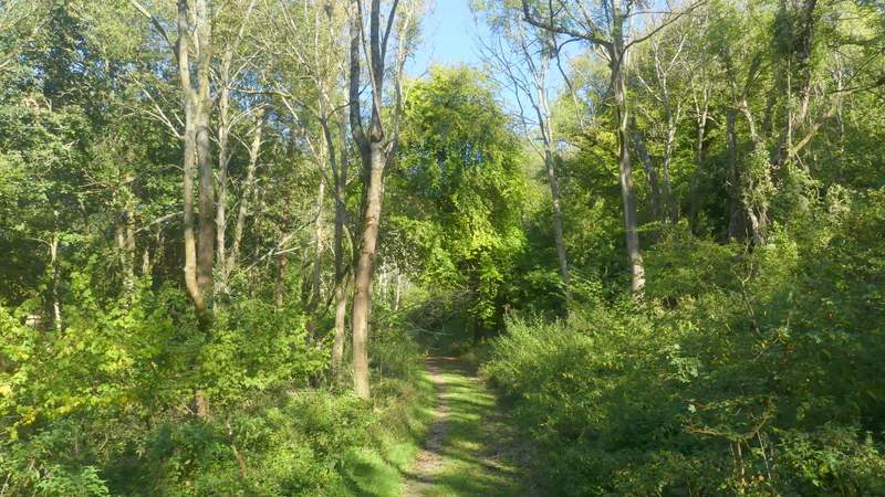
The footpath along Twigside Bottom
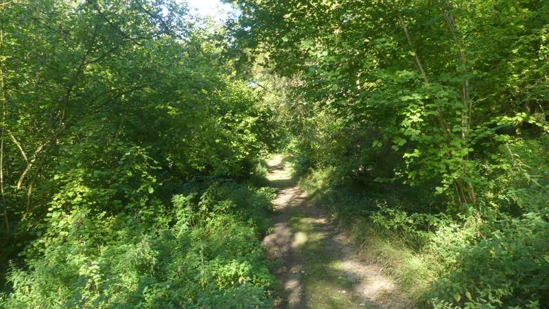
The footpath along Twigside Bottom
The footpath along Twigside Bottom
The footpath went quite steeply uphill through what was now Penley Wood, heading towards Penley Farm. I've been down this path several times, but this was only the second time I'd gone up it. It wasn't as steep or as long as I'd thought it was going to be (though still the hardest part of today's route). I got to the field corner I remembered sooner than I expected to, where the path continued a few yards further just inside the wood, then went through a metal kissing gate and crossed a large sheep pasture to a waymark post on the far side. At this post the footpath turned right and followed a hedge on my left (initially uphill a bit more) to the field corner, with Penley Farm over to my right. The path went through two more gates in quick succession, then continued between a hedge and a fence to reach an embankment where a few steps brought me to a minor road (the same one that goes through Cadmore End).
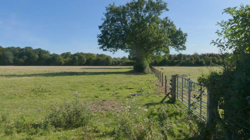
The start of the path after I turned right in Twigside Bottom, heading to Penley Farm
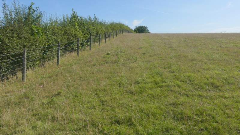
The path going uphill to Penley farm
The path going uphill to Penley farm
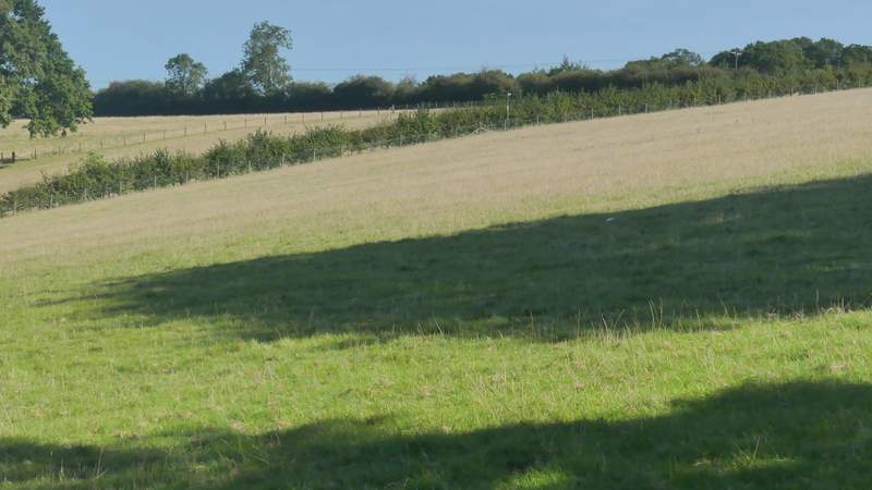
The path continuing across a pasture near Penley Farm
The path continuing after turning right along the edge of a pasture near Penley Farm
The path continuing from near Penley Farm
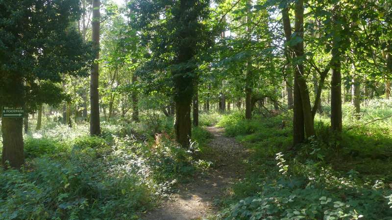
I turned left along the road, that immediately crossed the M40 motorway. I then turned right down a rough track heading into East Wood. There was a footpath sign a short way along it on the left, but it stood in the middle of a large bramble patch so I had to continue along the track a few yards further until a path went sharply back left. A few yards along it an arrow on a tree on the right showed the route of the path I wanted to be on. After another arrow on a tree I had to go left (or half-left) - the footpath wasn't very clear for the next couple of hundred yards or so, and I was glad when it rejoined a clearer path, where it went more or less straight on. This soon turned slightly left at the bottom of a slight valley or dip, continuing on through a nice area of mainly beech trees. On coming to a gate, the footpath forked slightly right from the clearer path.
Near the start of the path through East Wood (it goes left just afterwards)
The path through East Wood (the rather overgrown section)
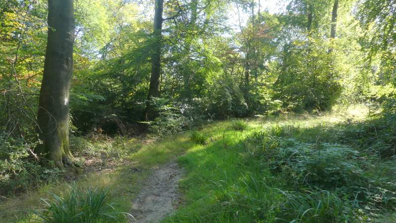
The footpath through East Wood, just after joining a clear path
The path through East Wood (just before the path takes the right fork by a gate)