Pete's Walks - Cadmore End, Horsleys Green, Moor Common (page 4 of 7)
If you are considering walking this route yourself, please see my disclaimer. You may also like to see these notes about the maps and GPX files.
I followed the path through the hedge gap (I think there was an open gate here), and went slightly left past some bushes on the left and along a broad headland between two fields. At the end of the fields a waymark post indicated a path T-junction, where I turned left and followed a farm track to Laurel Farm. I went through the farmyard with most of the buildings to my left, then through a gate with a waymark and then through a metal-kissing gate at the end of a grey shed. I crossed a road and walked straight on across Wheeler End Common, passing a couple of seats on my right and gradually edging leftwards so I reached the lane on the other side at the same point as a drive that ran along to the left of the common.
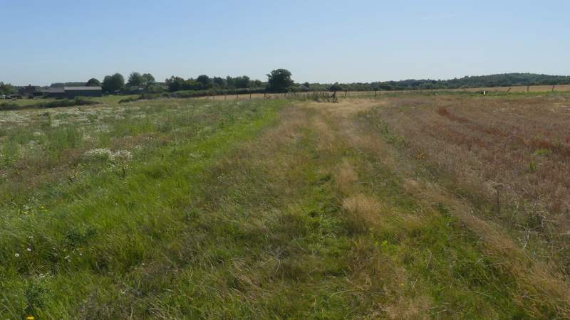
The path to Wheeler End Common
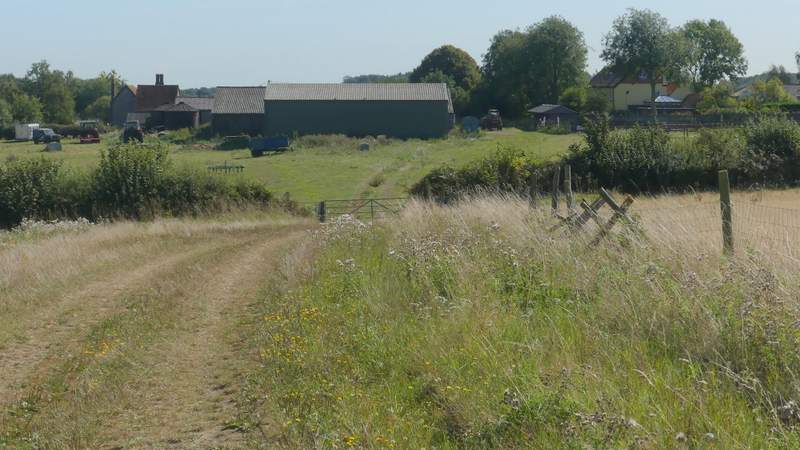
Approaching Laurel Farm
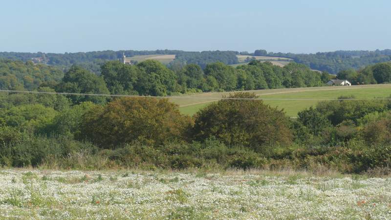
View left from near Laurel farm
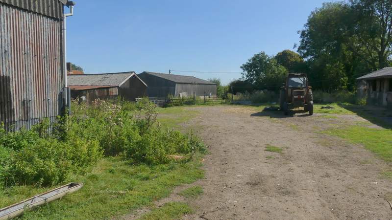
The path continuing through Laurel Farm (it goes through a gate and then a metal kissing gate at the far end of the shed in the centre of the photo)
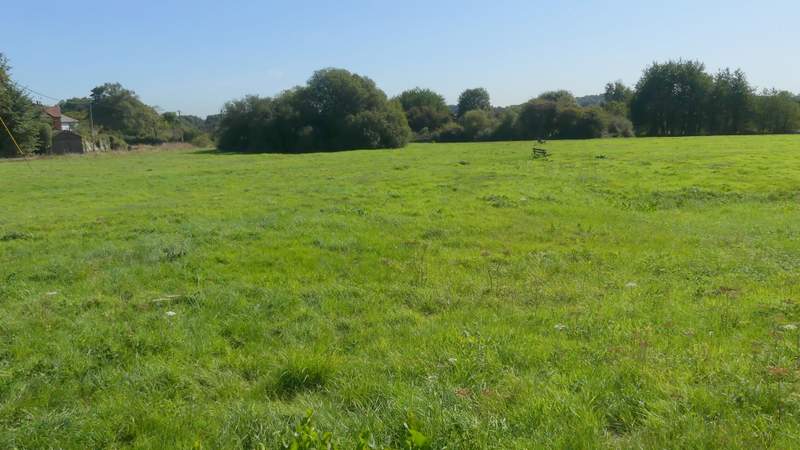
Wheeler End Common
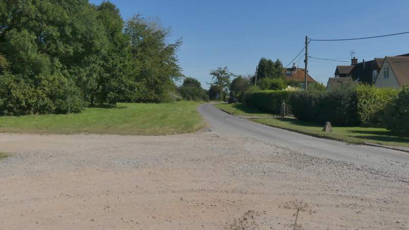
The lane at Wheeler End Common
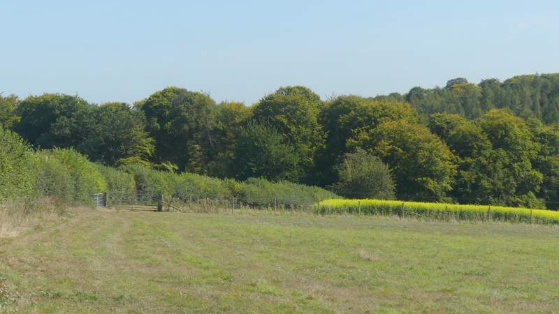
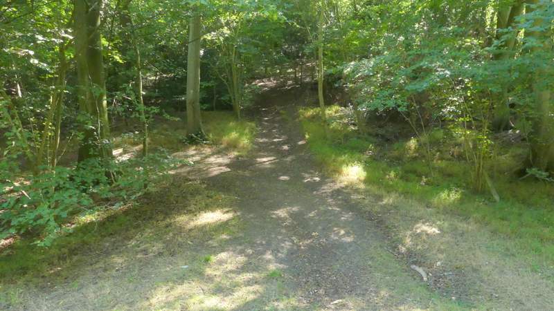
I turned left along the lane, then just past the last building I went over a stile (under a tree on the right) and went diagonally across a paddock. Through a gate the path turned half-left along a hedgerow. After a few hundred yards it curved right and dropped downhill to reach a gate and a bridleway. I checked the map here - I'd been walking for three and a half hours already, and realised that it would take me at least two hours more even if I took the shortest options I'd considered doing when I 'planned' (I use the term lightly) the route. I was back in familiar territory now, as I went a few yards left and then turned right onto a footpath along track dropping downhill just inside an edge of Great Wood which extended to my left. I soon came to a grassy valley bottom, the path now going slightly left as it rose up the other side of the valley, still in Great Wood. On reaching a junction I went straight on (bizarrely the OS map shows the 'path' going left here is the start of a bridleway - why would a bridleway start or finish in the middle of a wood?). The path soon left the wood, continuing for a couple of hundred yards between paddock fences.
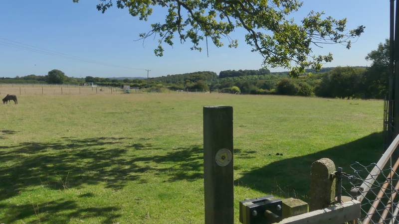
The path going east from Wheeler End Common
The path going east from Wheeler End Common
The path going east from Wheeler End Common
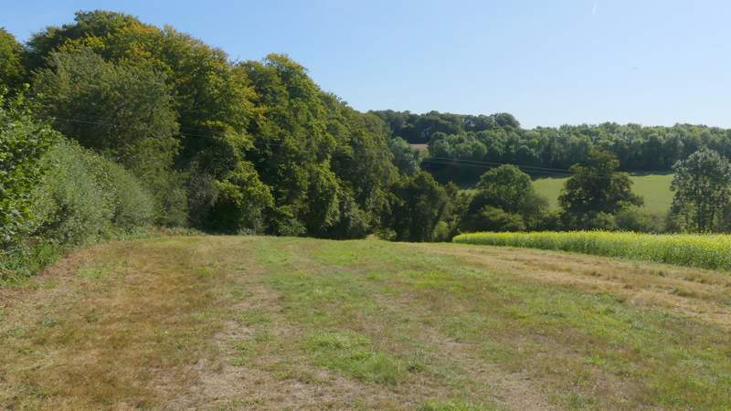
The path going east from Wheeler End Common
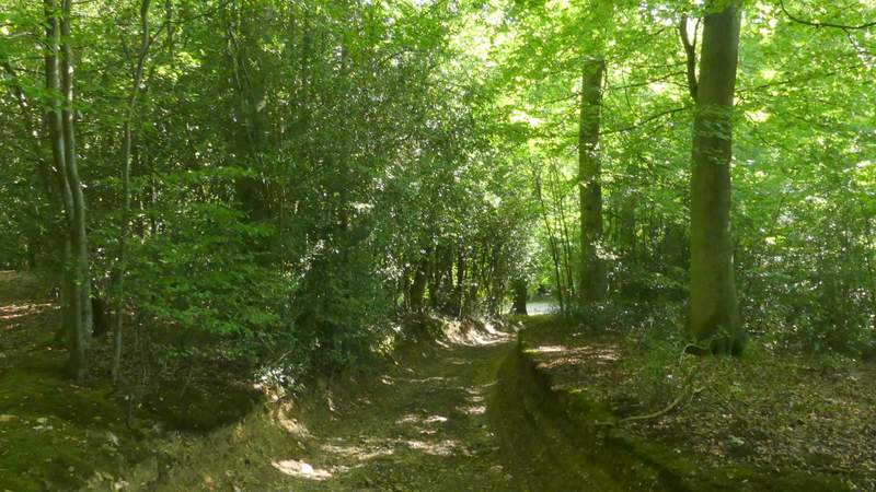
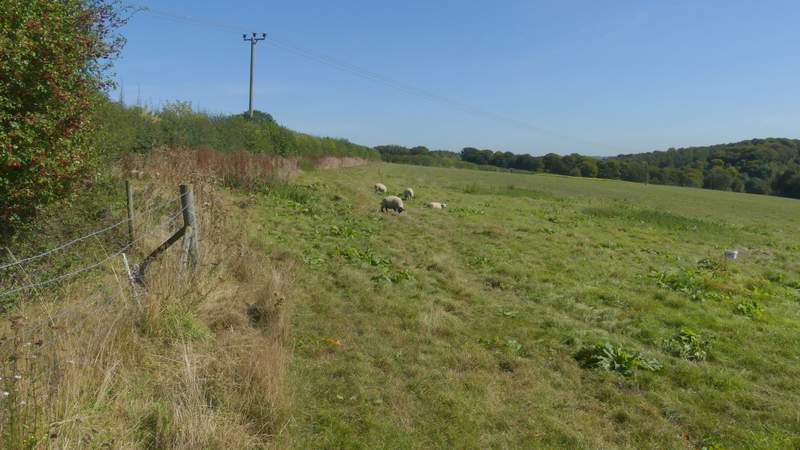
The path through Great Wood
The path through Great Wood
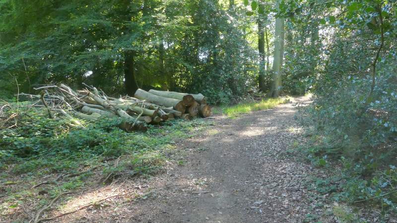
The path through Great Wood
The path continuing from Great Wood
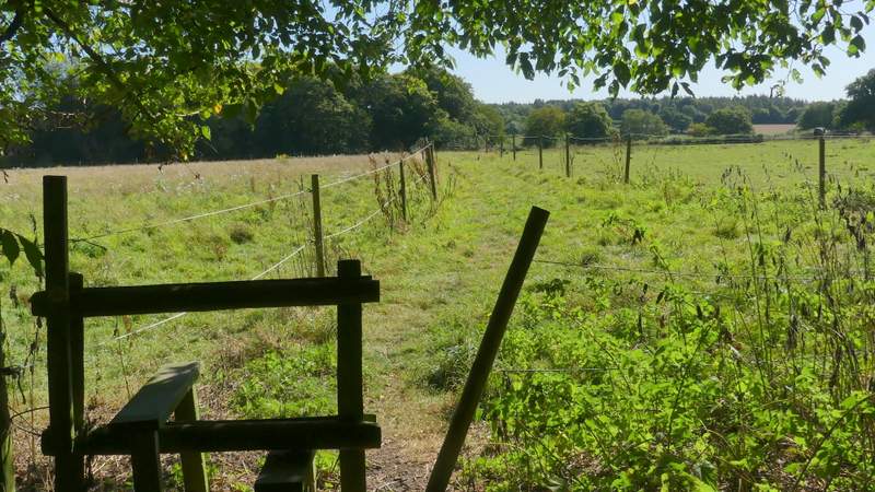
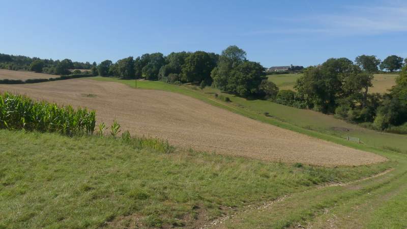
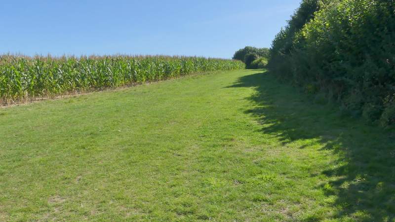
Through a gate, I crossed a track and continued slightly downhill through another narrow section of Great Wood. On leaving this at a stile, the path entered a large field occupied by a couple of horses. I went down to the valley bottom, following the right edge of the field and started up the other side. Just before reaching a tree in the hedge (and the two horses) I went over a stile in the hedge and continued along a track on the other side (there was nice view looking back here). On entering another field, the path continued between a hedge on my right and a strip of maize. This brought me to a hedge-lined track, where I turned right to head towards Fryers Farm.
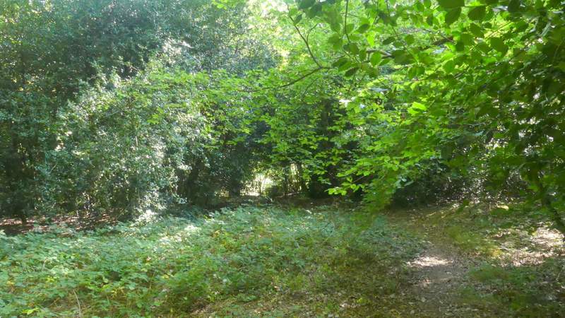
The path continuing through another section of Great Wood
The path continuing from Great Wood
View from where the path switches to the right of a hedgerow
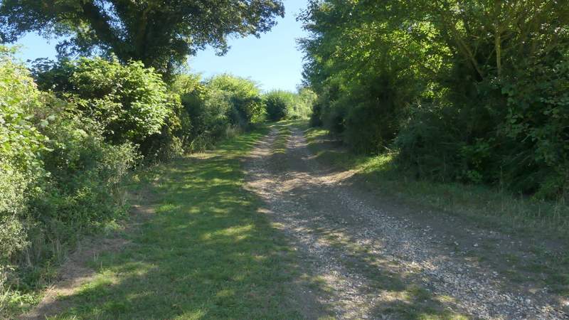
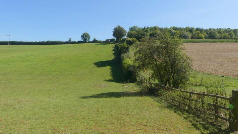
The path continuing towards Fryers Farm
The path continuing towards Fryers Farm
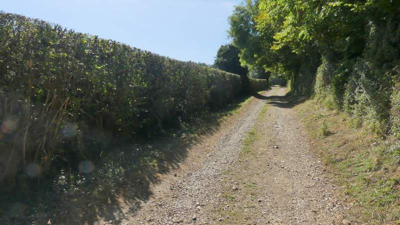
The track to Fryers Farm, after I turned right