Pete's Walks - Alternative Ashridge Walk (page 1 of 7)
If you are considering walking this route yourself, please see my disclaimer. You may also like to see these notes about the maps and GPX files.
I did this circular walk of about 15.5 miles on Sunday, 17th November 2019. I call the route the 'Alternative Ashridge Walk' as it's an alternative to the National Trust's Ashridge Estate Boundary Trail which is a similar distance. Both routes are amongst my favourites so I was quite staggered to find that I hadn't done this walk clockwise since 2009, and had only done it three times anti-clockwise since then. Between 2005 and 2009 I probably walked this route (in either direction) more than any other!
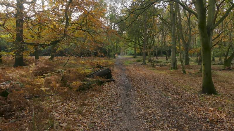
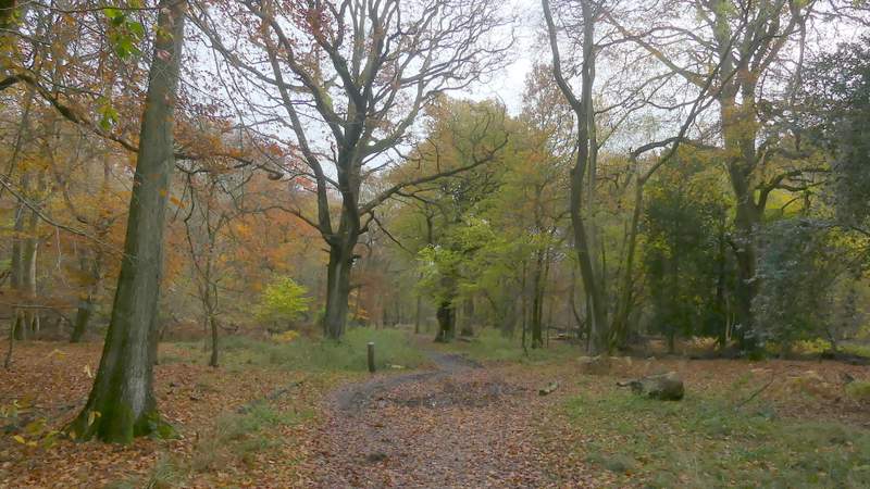
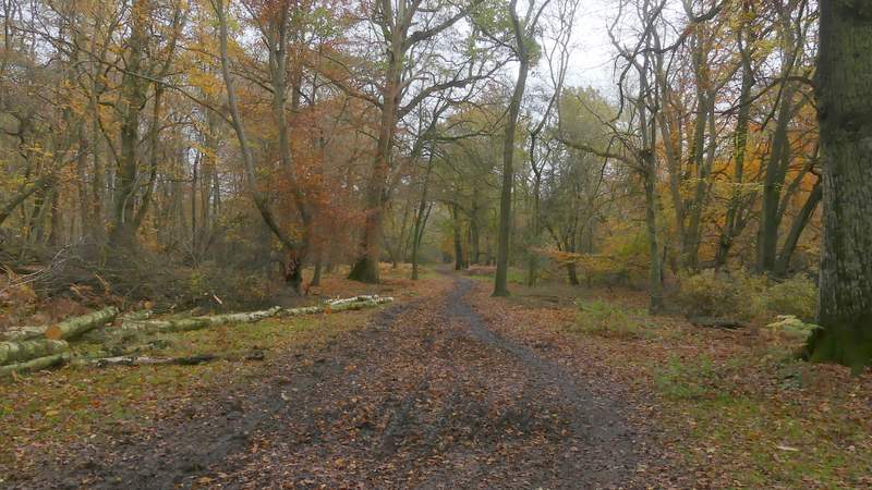
I tried parking in the car park by the Bridgewater Monument in Ashridge (Grid reference SP 972131), but it was already full and so I parked a few yards back down the drive. I started walking about 9.30am, heading back along the drive towards the Ringshall-Northchurch road. After a couple of hundred yards or so, I took a footpath on the right, starting at a fingerpost by a short stretch of concrete on that side where more cars were parked. The path led through some of the delightful woods of the Ashridge estate - like most paths today it was a little muddy in places, but not too bad. Though some trees were almost bare of leaves, there were still enough left to give a colourful display. After almost half a mile I passed close to a large pasture on the left, where as usual I saw a sizable group of Fallow Deer. A little further on the path was crossed by a bridleway, where I turned left and followed the bridleway for a few hundred yards to reach the Ringshall-Northchurch road.
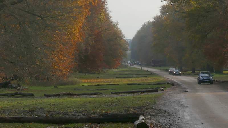
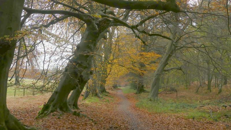
The drive from the Bridgewater Monument at Ashridge
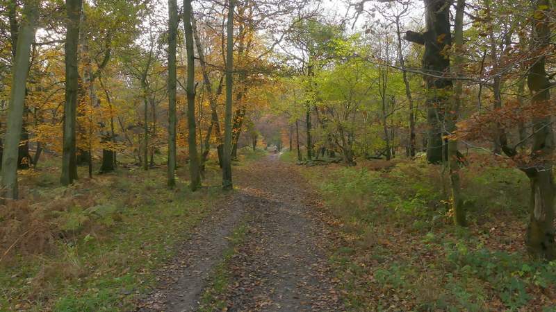
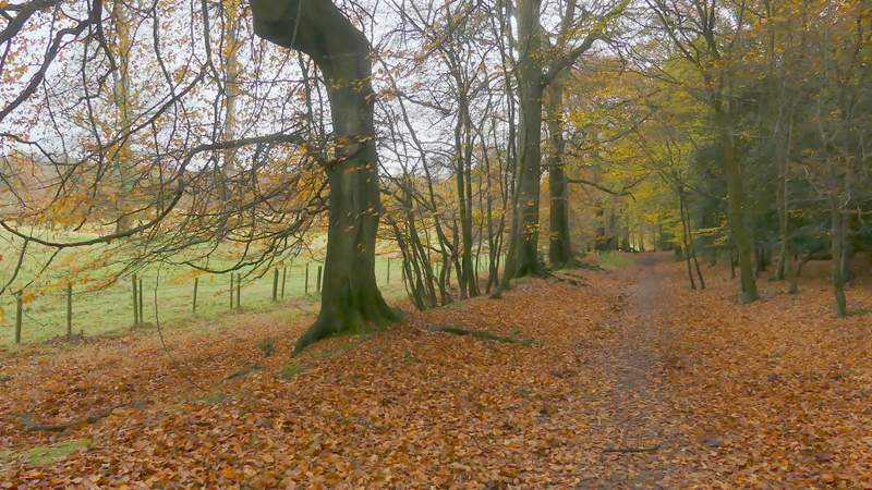
The path after I turned right from the drive from the monument
The path after I turned right from the drive from the monument
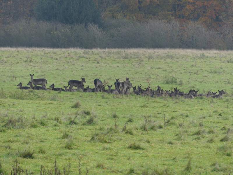
Fallow deer in the large field on the right (bordering the Ringshall-Northchurch road on the far side)
The bridleway after I turned left
Further along that bridleway
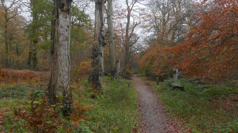
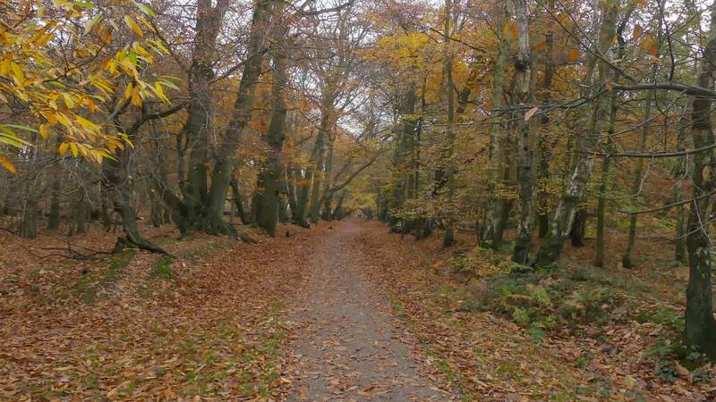
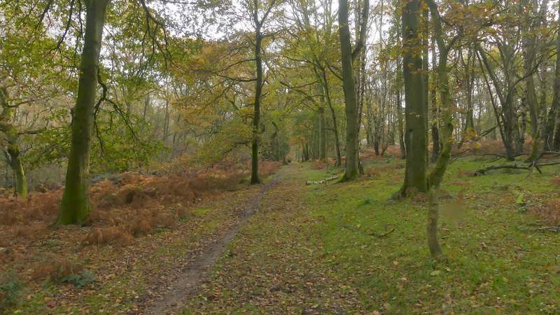
Across the road a bridleway continued straight on through more of the woods. After a quarter of a mile or so, there was a large pasture on my left (which is completely surrounded by the woods of Ashridge). After another third of a mile or so, the bridleway forked slightly right (a path continued straight on) and then soon reached a drive (coming from Woodyard Cottages to my left). The bridleway goes right here, along the drive, but I continued straight on along a broad path through more of the woods. After a while there was a more open area of mainly bracken to my right, and just before this came to an end I took a path forking right.
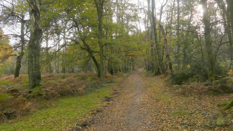
The bridleway continuing after crossing the Ringshall-Northchurch road
The bridleway continuing after crossing the Ringshall-Northchurch road
The bridleway continuing beside another large pasture on the left
The bridleway continuing beside another large pasture on the left
The bridleway continuing after forking right, away from the large pasture
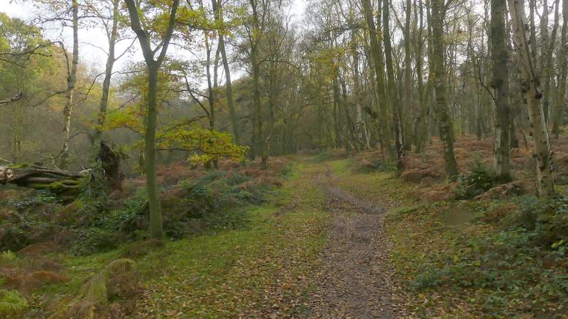
The path continuing straight on, after the bridleway turns right along a drive
The path continuing straight on
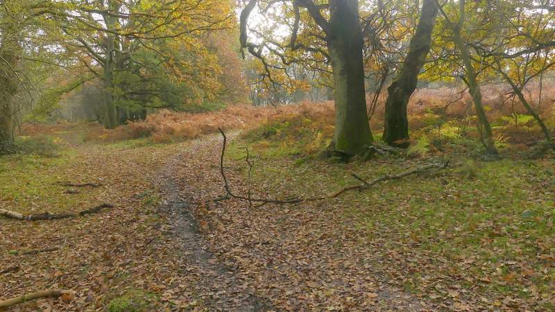
Where I forked right, along a path through bracken