Pete's Walks- Hudnall and Potten End (page 1 of 3)
If you are considering walking this route yourself, please see my disclaimer. You may also like to see these notes about the maps and GPX files.
I did this roughly 6.3 mile circular walk on Sunday, 24th November 2019. It was a route I've done several times now, with a few variations, though the last time I walked it was in 2016 and the last time I walked it in the Clockwise direction (as I did today) was at the end of December 2013.
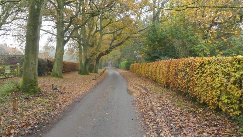
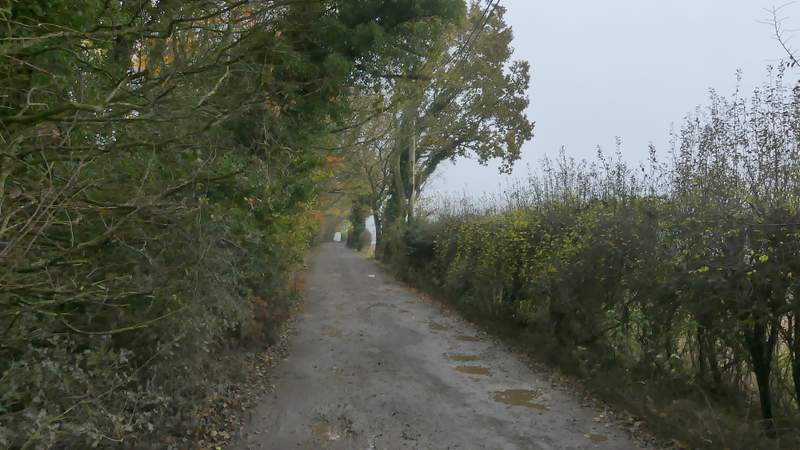
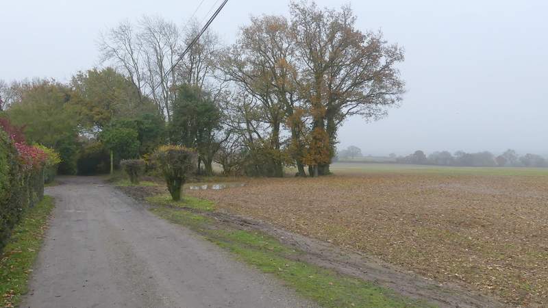
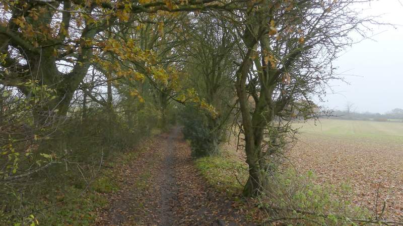
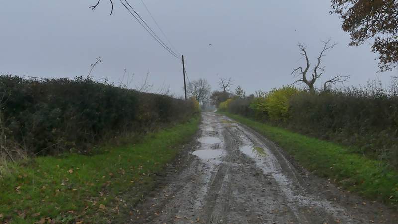
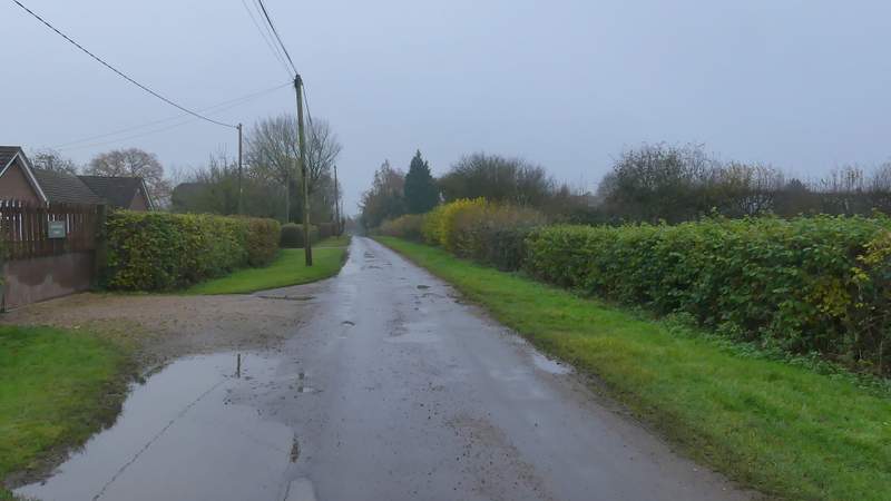
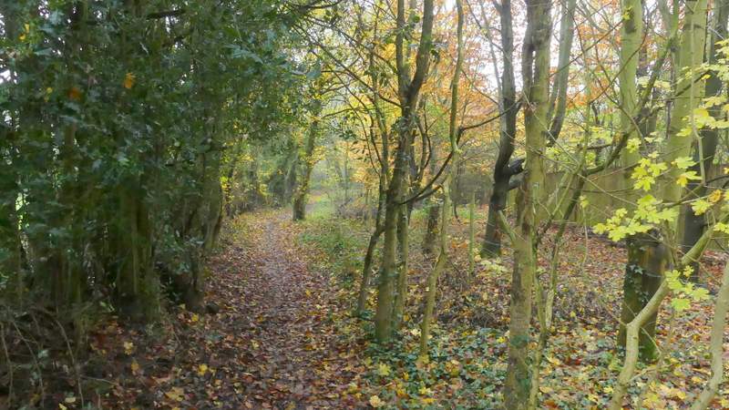
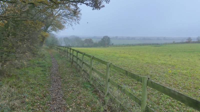
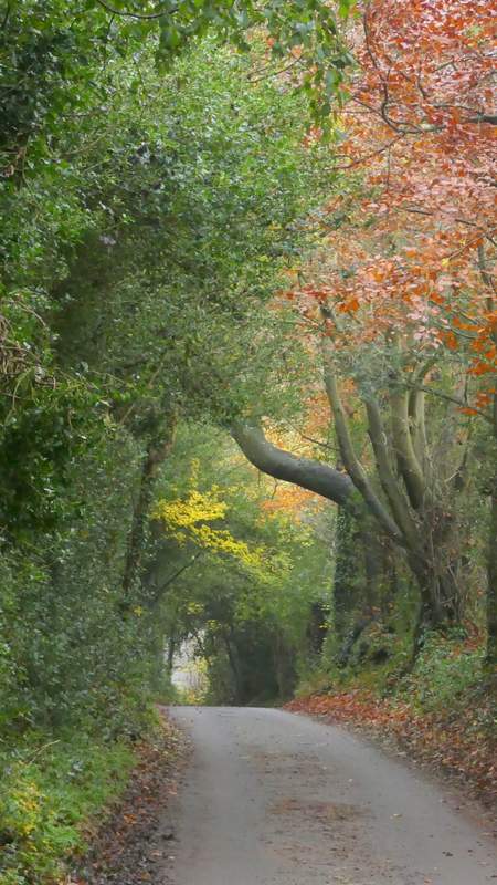
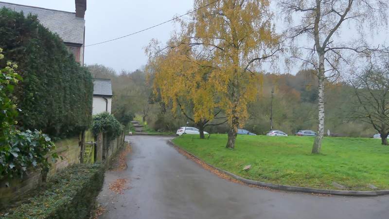
I started walking about 1.35pm, from the small car park at Hudnall Common (Grid Reference TL006127). I followed the lane (St Margaret's Lane, I believe), with the large grassy part of the common on my left to begin with. I passed various residences over the next half a mile or so, the lane becoming an unsurfaced public byway at some point. The penultimate cottage, on my left, has the intriguing name of 'Covetous Corner' (the name is also on the OS map). The unsurfaced byway became quite muddy as it then continued between hedges for a few hundred yards, still heading roughly southeast. There were some sizable puddles (the previous week had been quite rainy, in keeping with the rest of Autumn which has been one of the wettest on record) but the byway eventually became a surfaced lane again, now with wide grass verges either side. I passed the entrance to St Margaret's Farm on my right, and a little further on passed a Buddhist monastery on the same side.
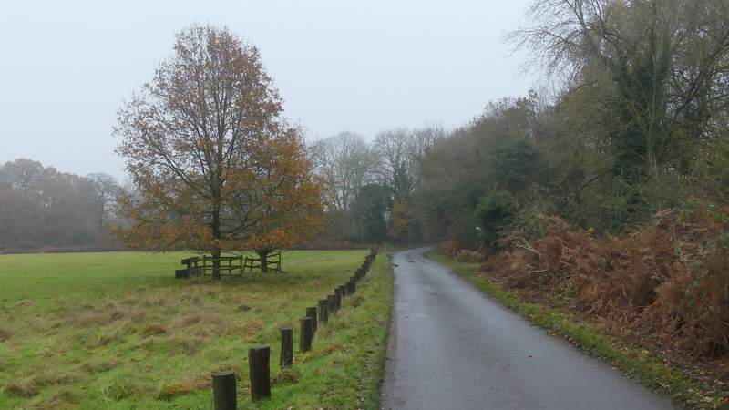
The start of the walk at Hudnall Common
St Margaret's Lane
St Margaret's Lane
St Margaret's Lane, near a property named Covetous Corner (that name is also shown on the OS map)
St Margaret's Lane
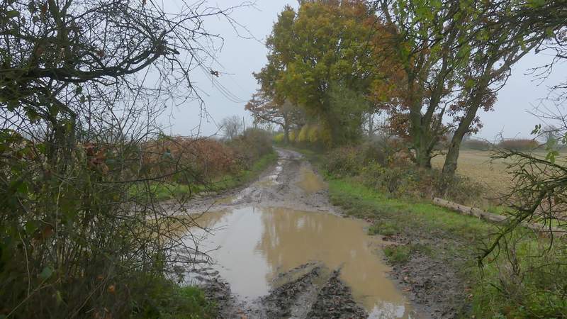
St Margaret's Lane (it was a bit muddy today)
St Margaret's Lane
St Margaret's Lane
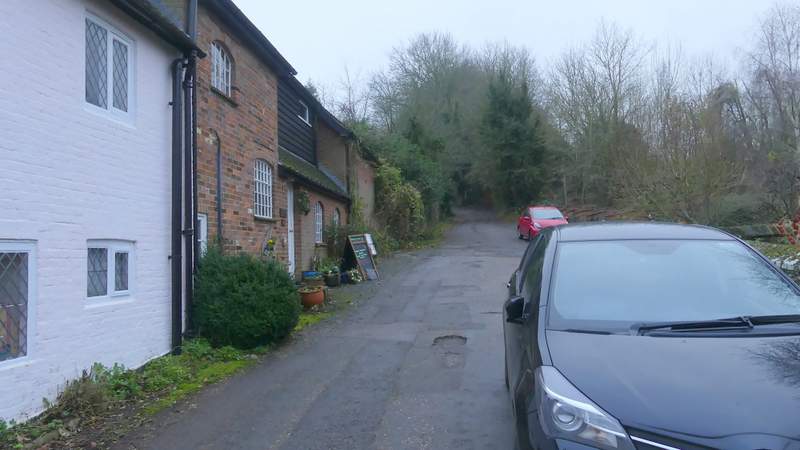
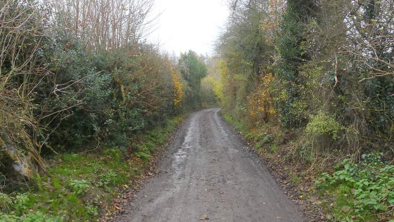
Immediately after the monastery I turned right onto a footpath, which went down the drive of a house and continued with the grounds of the monastery on the right. The path continued between a hedge and a fence on the right, with green pastures or meadows beyond. Fairly soon the path was descending into a valley, where I reached the village of Nettleden. Here I went a few yards left along a road, then turned right. I was now on Roman Road, or Roman Road (also apparently known as Spooky Lane). As it left the village, I chose to ignore the footpath that runs just to the left of the lane (I've used it a couple of times), and continued along the lane through its steep brick-lined cutting and under Devils Bridge. Near the top of the slope the path I mentioned rejoined Roman Road, and I continued along the lane as it then started to descend into the village of Frithsden, ending at a T-junction with the Alford Arms pub on my left.
The path beside the Buddhist monastery
The path descending towards Nettleden
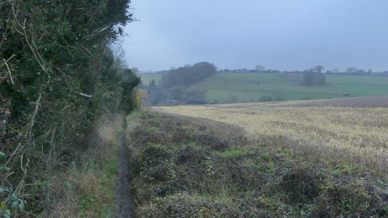
The path descending towards Nettleden
The start of Roman Road, Nettleden
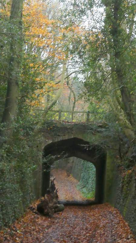
Close up shot of Devil's Bridge, Roman Road
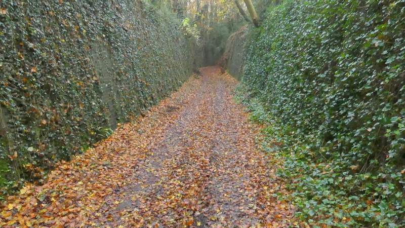
Roman Road
Roman Road
Roman Road, now descending towards Frithsden
Approaching the road junction at the end of Roman Road in Frithsden. The Alford Arms pub is on the left, and a footpath continues straight on from the junction.