Pete's Walks- Hawridge, Chartridge End, Great Hivings (page 1 of 4)
If you are considering walking this route yourself, please see my disclaimer. You may also like to see these notes about the maps and GPX files.
I did this circular walk of about 8.7 miles on Sunday, 1st December 2019. It was a route I'd done a couple of times before in the anti-clockwise direction that I walked today, and once clockwise, but it's 2-3 years since I last walked it.
I usually start this walk from the edge of Hawridge Common, close to the Full Moon pub, but today I parked by the cricket pavilion in Cholesbury. It had rained slightly during my drive to Cholesbury, and I sat in my car for 5 minutes or so waiting for it to stop, before setting off at about 11.45am. I began by walking along the road, past the cricket pitch and part of the common, before turning right down a minor road called Ray's Hill and soon passing Hawridge windmill (also known as Cholesbury windmill) on my left. At the bottom of a valley, I took a footpath on the right. This went through a small enclosure and continued along the valley through a couple of empty sheep pastures and then another pasture with a few cattle in it. The path carried on along the right edge of a couple of arable fields, with Cholesbury and then Buckland Common on top of the hillside on my right. After going straight on where a path crossed (part of the Chiltern Heritage Trail), the path continued between hedges, then went half-left across a paddock. The fencing here has been re-arranged since I was last here, so that on entering a second paddock I now followed a fence on my left. Over a stile and through a gate the path continued across a meadow (I aimed for just right of a house I could see) to reach a gate or stile and a minor road, almost opposite the start of the drive to Dundridge Manor.
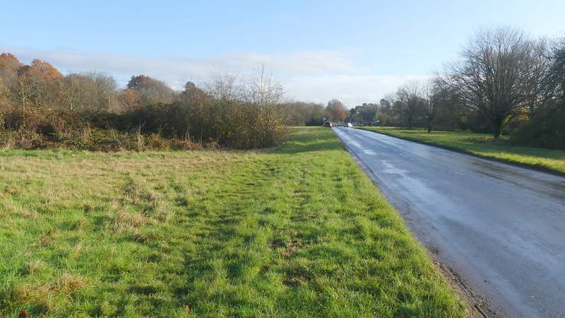
The road through Cholesbury and Hawridge
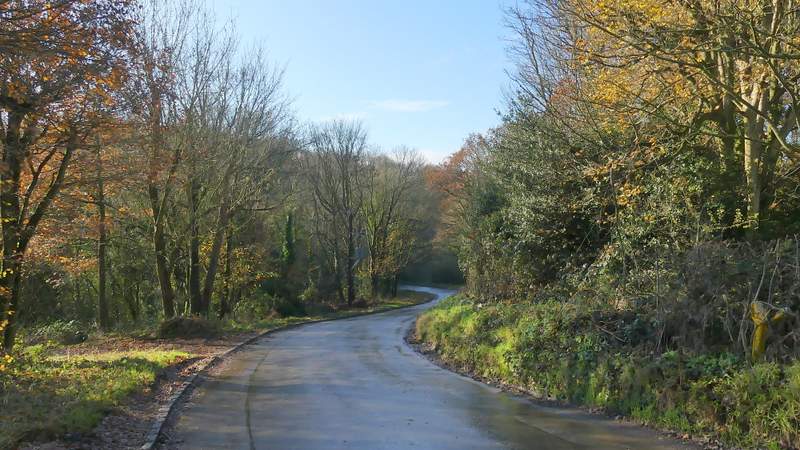
Ray's Hill
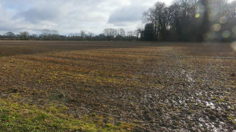
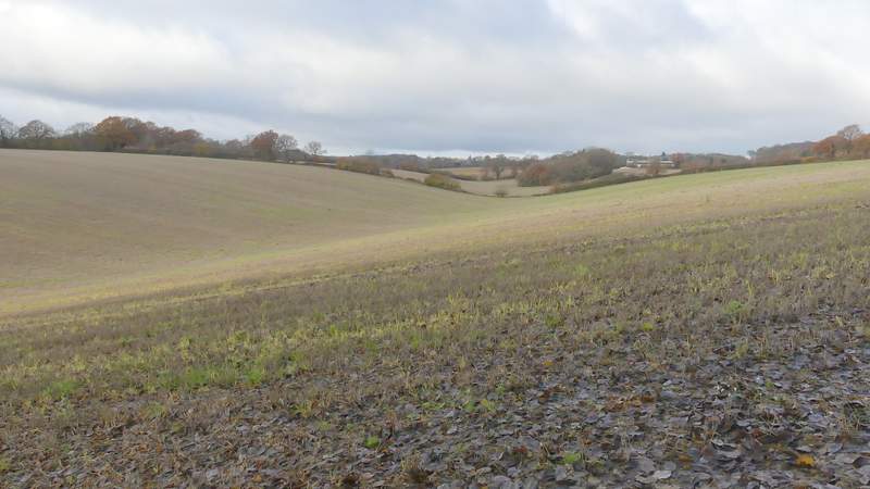
The start of the footpath along the valley immediately south of Cholesbury and Buckland Common
The footpath along the valley immediately south of Cholesbury and Buckland Common
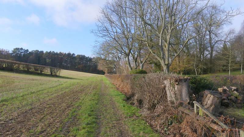
The footpath along the valley immediately south of Cholesbury and Buckland Common
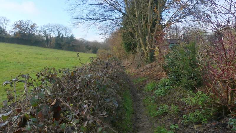
The footpath continuing near Buckland Common
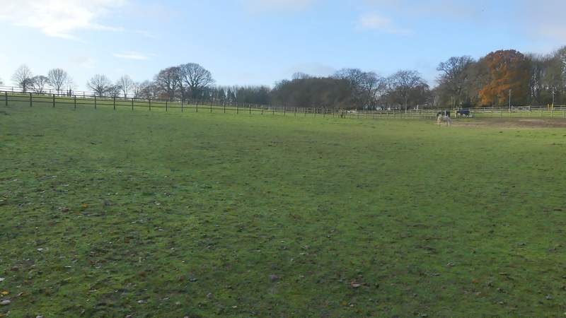
The footpath continuing across an empty paddock
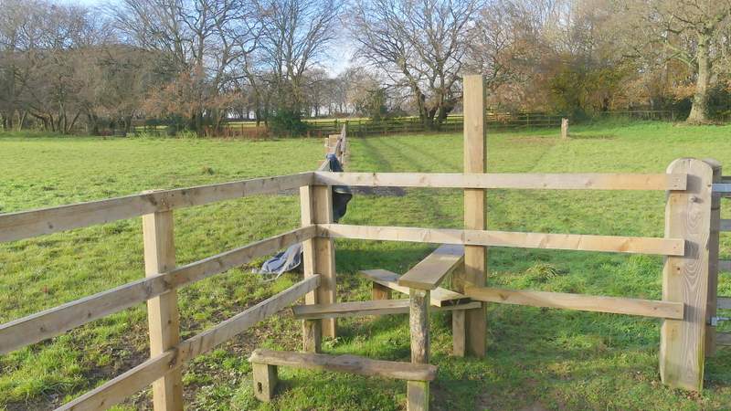
Where the path enters a second paddock
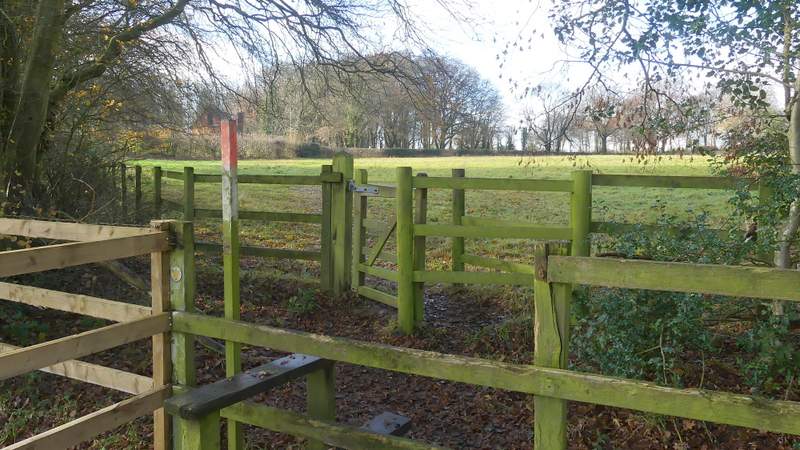
The footpath continues over the stile through the gate and across to the hedge, close to the house
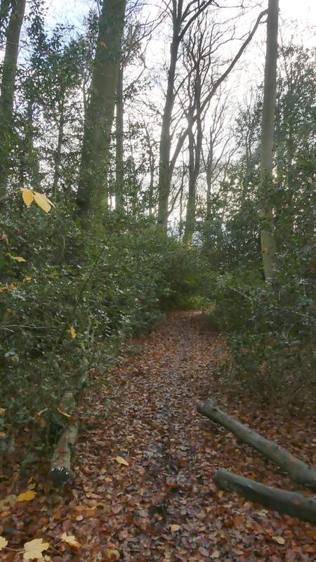
I went a few yards down the drive, then took a footpath starting on the left. I went straight on when another path went right, soon reaching a wood called Widow Croft. I kept right at a path fork just inside the wood, and carried on through the wood where there was initially much Holly. On the other side of the wood the path stayed heading southwest, now running along a broad strip of mown grass between young plantations either side (young enough not to be shown on my OS map). The path then crossed a ploughed field to a corner of Newsets Wood before continuing on through the wood.
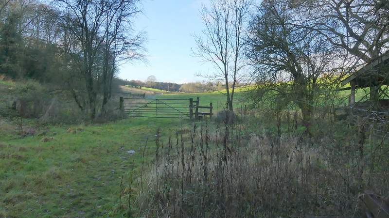
The start of the path from the drive to Dundridge Manor
The path continuing through Widow Croft
This plantation after Widow Croft isn't shown on the OS Map
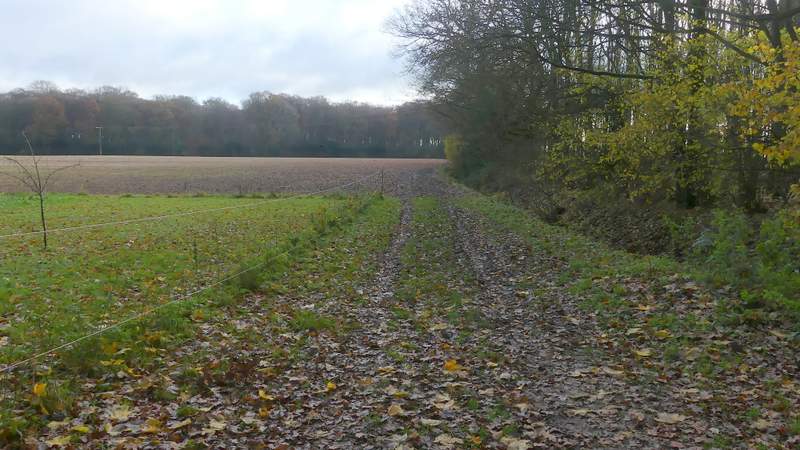
Approaching Newsets Wood
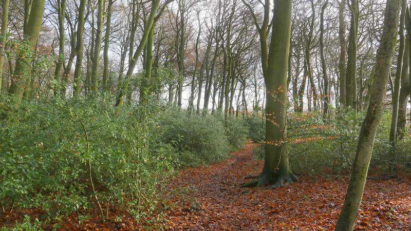
Newsetts Wood
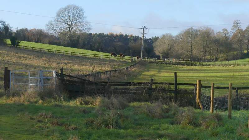
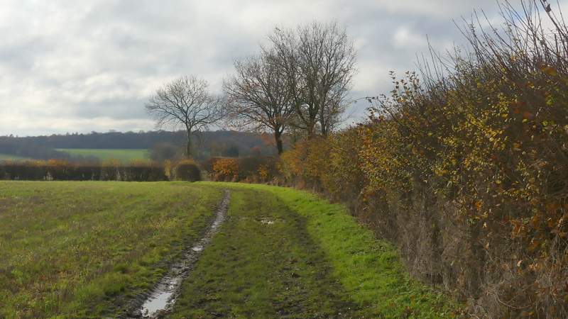
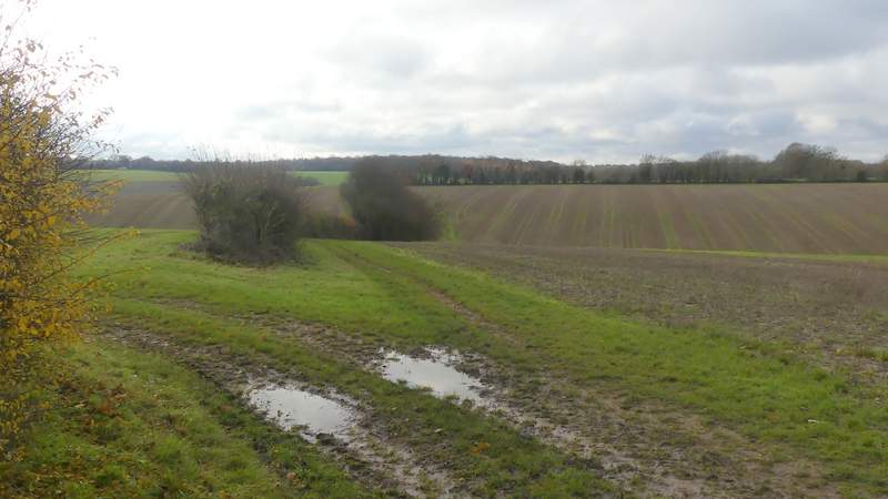
On the far side of Newsets Wood I turned right along a bridleway. This was initially alongside a hedge on my right, before switching to the other side of the hedge in the next field corner. The bridleway dropped down into a valley and then switched back to the left of the hedgerow as it started up the opposite hillside. There was a nice view left as I reached the top of the slope - a short distance away the valley I'd just crossed merged with the next valley that I was about to cross, and the merged valley extended for some distance towards Captain's Wood, which I'd reach later on the walk. The bridleway dropped down again into the next valley where it ended when it met Arrewig Lane.
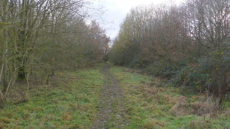
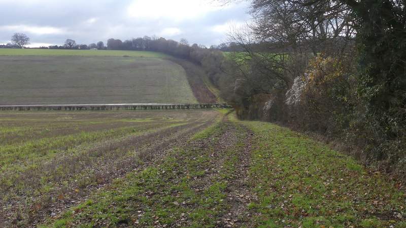
The bridleway going southwest from Newsets Wood
The bridleway after it switches to the right of the hedgerow
Looking right from the bridleway, as it descends into the first valley
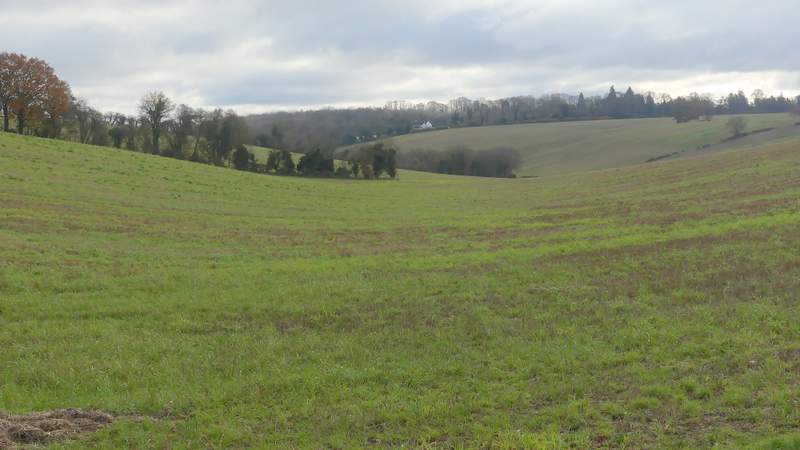
Looking left from the first valley bottom along the bridleway going southwest from Newsets Wood - I would pass the white house later, on my way back across the valley along Ashotts Lane
The bridleway descending into the second valley, where it ends (Arrewig Lane continues up the opposite hillside)