Pete's Walks- Redland End and Coombe Hill (page 3 of 5)
If you are considering walking this route yourself, please see my disclaimer. You may also like to see these notes about the maps and GPX files.
I went left along the lane for about a hundred yards, before taking a footpath on the right. This went uphill diagonally through a large paddock, to the far corner on my left. I crossed over a bridleway and continued straight on uphill on a path through small trees, going straight on at a path junction to reach the tumulus (an ancient burial mound, in this case barely discernible) on Bacombe Hill. After admiring the view over Wendover to Wendover Woods, I turned left and followed the long path over Bacombe Hill. I stopped to eat my lunch on a bench along here, admiring the views out over the Vale of Aylesbury. After some distance the path merged with the Ridgeway national trail (coming in gradually from the right) - I think it is about here that Bacombe End ends and Coombe Hill begins. The path continued through an area of small trees, then went through gates either side of a sunken bridleway, before continuing through a more open area to reach the monument at the top of Coombe Hill.
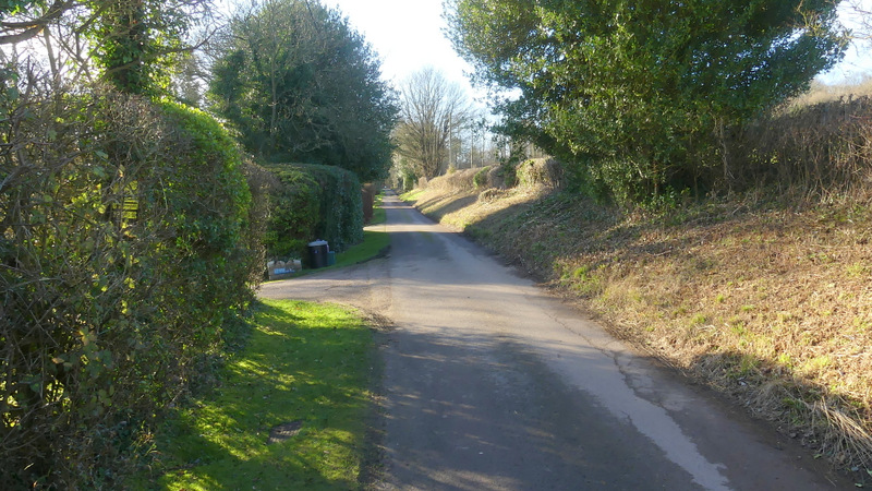
Bacombe Lane
The path going half-right from Bacombe Lane
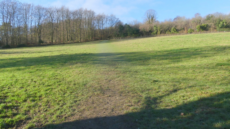
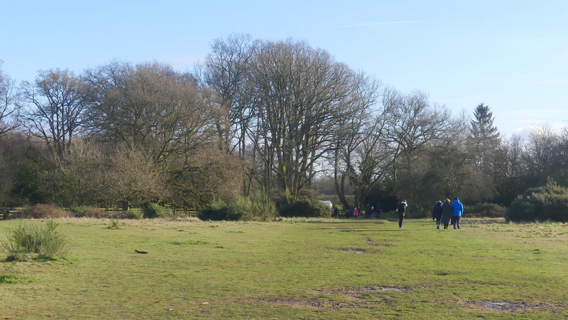
The path on Bacombe Hill after crossing the bridleway
The view over Wendover from the tumulus
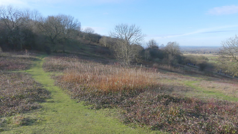
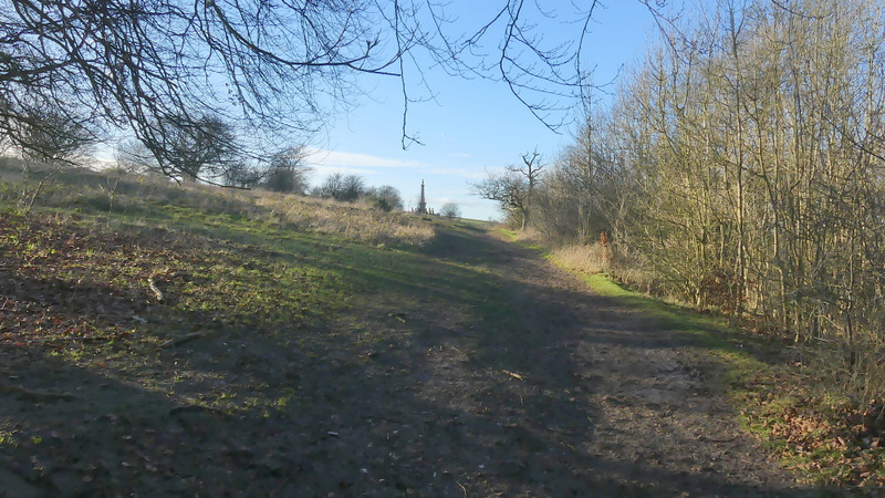
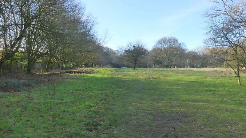
The path from the tumulus along Bacombe Hill
The path from the tumulus along Bacombe Hill, shortly before it merges with the Ridgeway
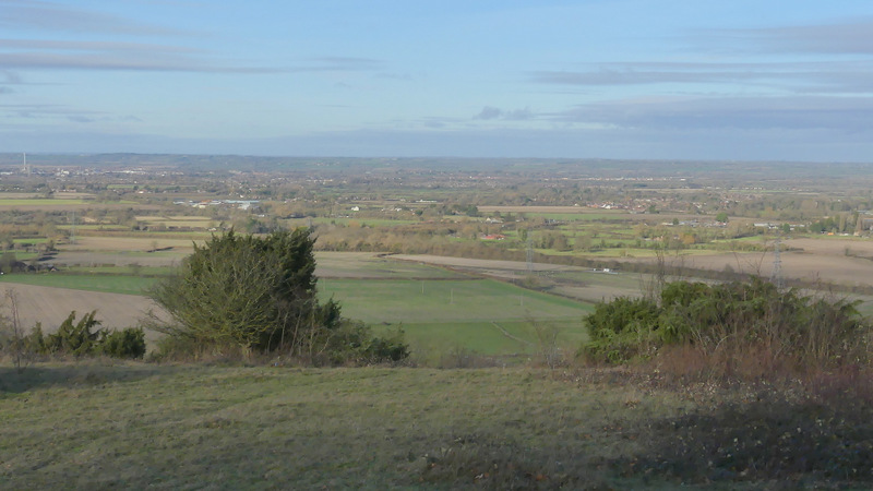
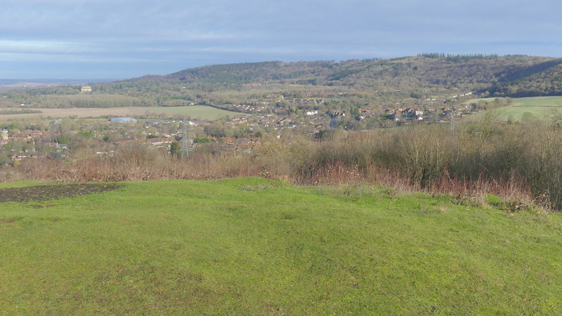
Looking out to the Vale of Aylesbury from Bacombe Hill
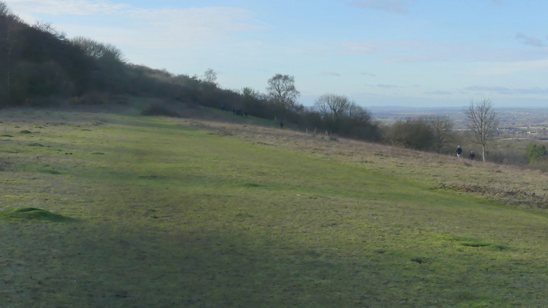
The Ridgeway on Coombe Hill
Approaching the monument on Coombe Hill (a memorial to the men of Buckinghamshire who died in the Boer War)
After admiring the views from the monument, I continued by turning left and following a broad and flat strip of grass with bushes either side. At the far end, the path turned left, passed through some trees then continued towards the Coombe Hill car park. As I reached the gate to the car park, I turned sharply right onto a path that followed a hedge (or line of trees) and fencing on my left. I followed the path for 3-400 yards to a metal kissing-gate on the left, where I went through the gate (rejoining the Ridgeway, marked by white acorn symbols as usual) and followed a path through a beech wood, close to a field on my left. When I reached a road (the one to the car park), I turned right and followed it for a couple of hundred yards before turning left on a path beginning next to the start of a drive.
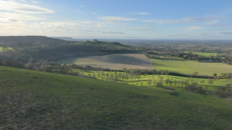
View towards Beacon Hill from near the monument on Coombe Hill
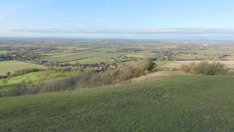
View from near the monument on Coombe Hill, out over the Vale of Aylesbury
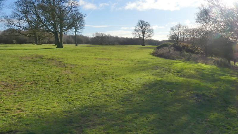
The way back to the Coombe Hill car park,just after turning left by the monument
The way back to the Coombe Hill car park
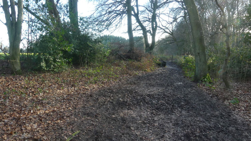
The path from the car park, after I turned sharply right
The path from the car park
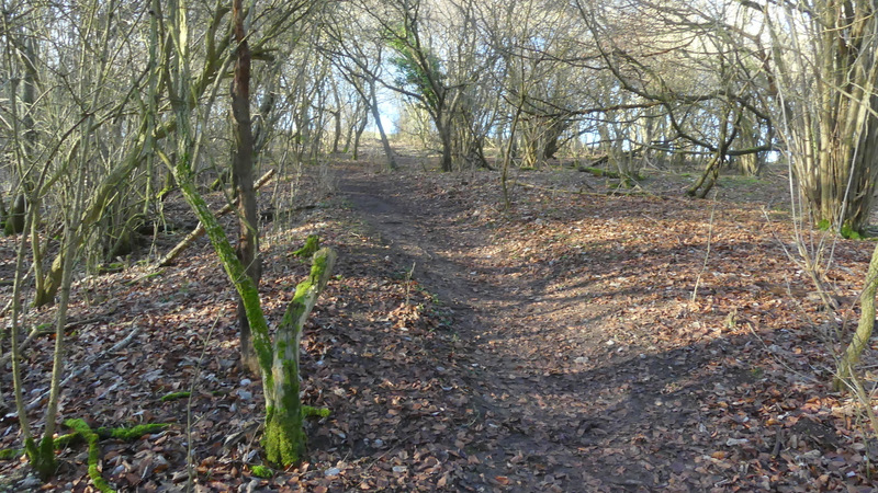
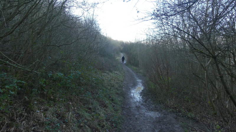
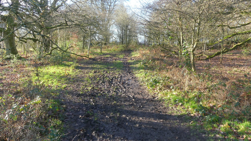
The Ridgeway, again, running through a wood on Lodge Hill
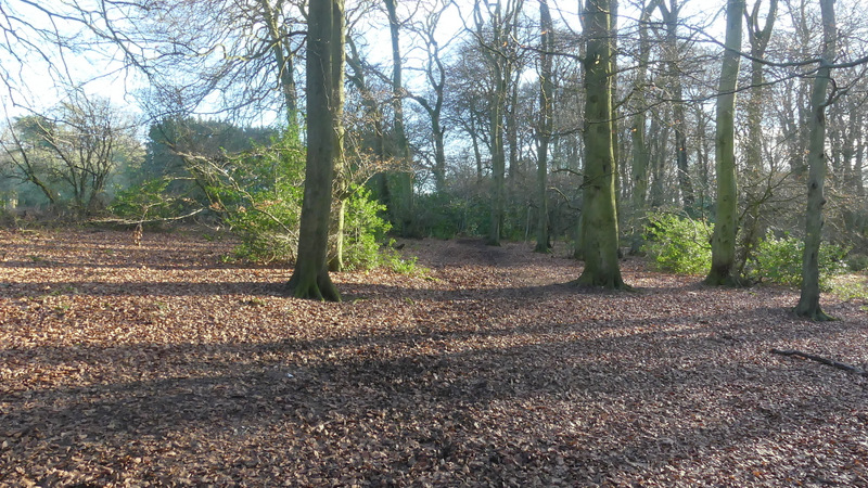
The Ridgeway running through a wood on Lodge Hill