Pete's Walks- Kensworth, Markyate, Studham, Whipsnade (page 1 of 3)
If you are considering walking this route yourself, please see my disclaimer. You may also like to see these notes about the maps and GPX files.
Google map of the walkDownload GPX file of the walk
I did this roughly 9.6 mile circular walk on Saturday, 21st January 2023. It was a repeat of a walk I first did in March 2013 (most of this report is 'cut and pasted' from my description of that walk).
It was about 11.20am when I started walking from my home in Kensworth, heading out of the village along the road to Whipsnade Road. After a quarter of a mile or so, at a metal gate, I turned left onto a footpath that crossed a large and empty sheep pasture. The path then continued along a track beside a meadow to reach Dovehouse Lane, where I turned right. The lane soon headed downhill to a valley bottom, where it ended at a junction with Buckwood Lane (known to many locals as 'Bucket Lane'). I went a few yards right, then took a path on the other side of the lane, keeping left at a path junction after a few yards, and following the bottoms of some gardens in Holywell as the path went up the other side of the valley. It soon levelled out, still with gardens on my right.
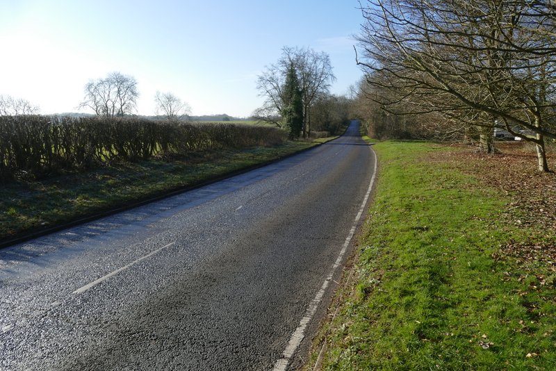
Leaving Kensworth along the Whipsnade Road
The path from Whipsnade Road to Dovehouse Lane
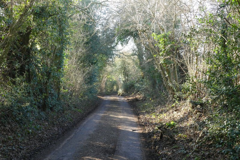
Dovehouse Lane
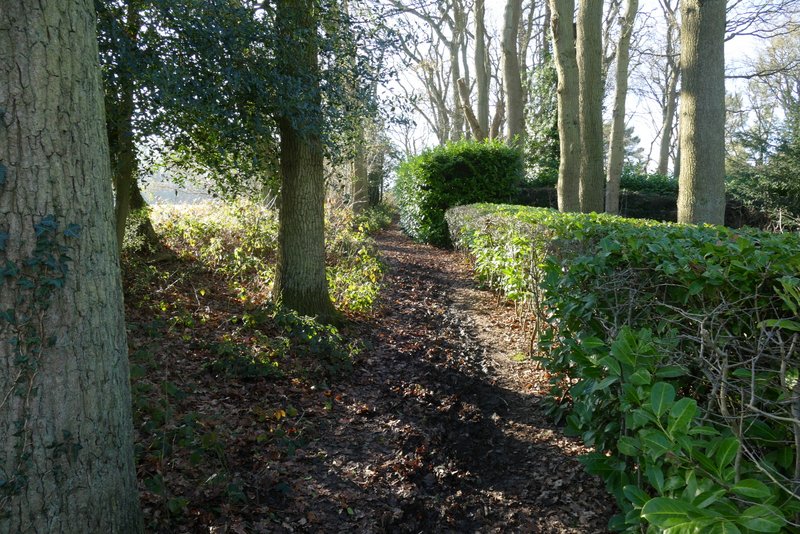
The path from Buckwood Lane past the gardens of part of Holywell
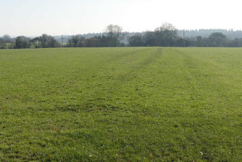
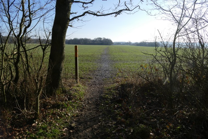
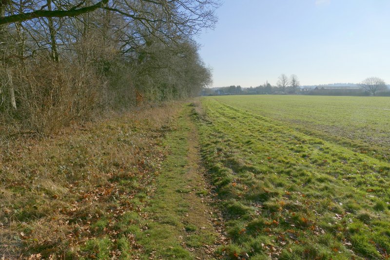
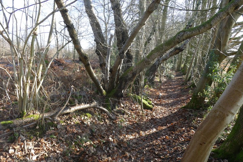
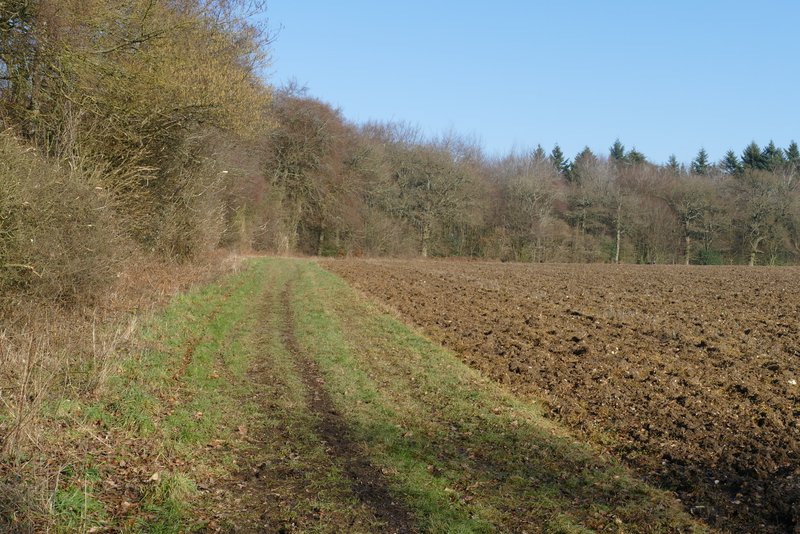
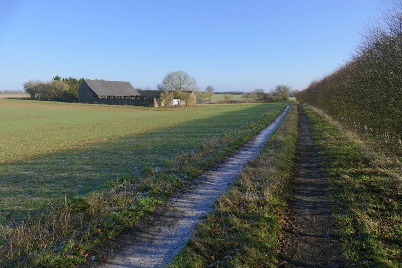
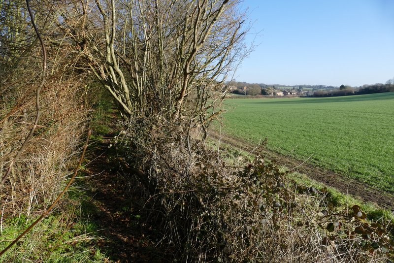
I then turned left into a small wood. Beyond the wood the path crossed a huge arable field. The path continued past another small wood on my left and then a solitary tree, before reaching Byslips Road. I went a short way left, then took a footpath on the other side - this followed an edge of Byslip Wood, initially with a garden on my right. On reaching the corner of the wood, I turned left on a path that followed the curving edge of the wood, with a huge ploughed field on my right. Somewhere along here the wood changed to Fareless Wood.
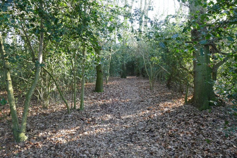
Near the start of the path from Holywell to Byslips Road, in the small wood
The path from Holywell to Byslips Road, leaving the small wood
The path from Holywell to Byslips Road
The path from Holywell to Byslips Road
The path on the edge of Byslip Wood
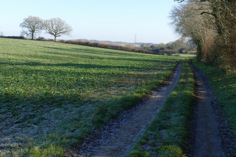
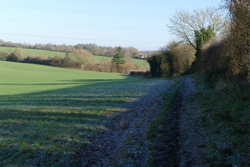
The long path along Byslip and Fareless woods
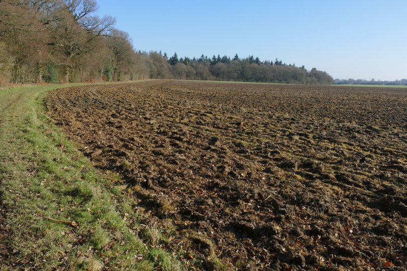
The long path along Byslip and Fareless woods
The long path along Byslip and Fareless woods
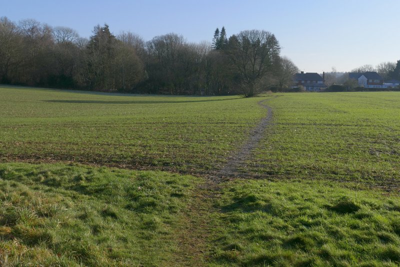
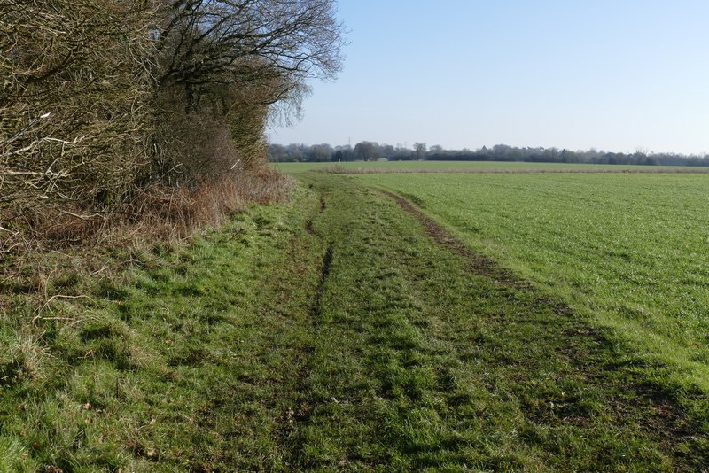
Beyond the woods, the path passed the farm buildings at Buckwood Stubbs. (Historical note: until well into the 19th century the small area of Buckwood was a detached portion of the parish of Houghton Regis, which is several miles away on the other side of Dunstable. The reason for this was that when Henry I created the new town of Dunstable in 1109 he needed to take land from his royal manor of Houghton Regis, so he gave the manor Buckwood in compensation. I can't imagine the peasants of Houghton Regis were very happy with this deal!) The name Buckwood now only seems to occur in the name of these farm buildings and in Buckwood Road/Lane). The path continued along a farm track, until that turned right. The path then continued ahead, with a field boundary on my right, and after about half a mile led to Buckwood Road where I turned right to reach the edge of Markyate.
The path continuing past the farm buildings at Buckwood Stubs
The path continuing towards Markyate
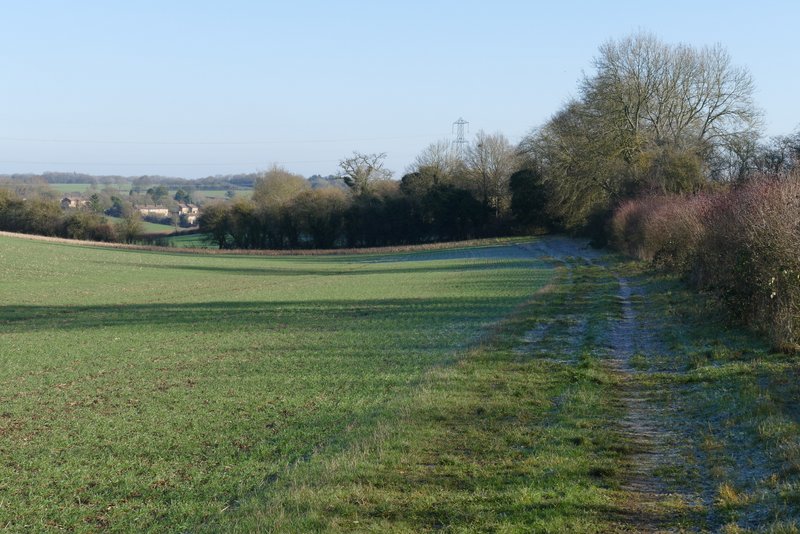
The path continuing towards Markyate
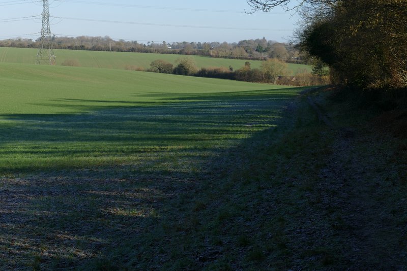
The path continuing towards Markyate
Buckwood Road approaching Markyate
The path continuing towards Markyate
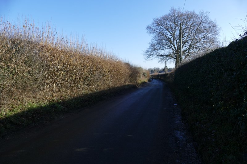
Buckwood Road approaching Markyate