Pete's Walks - Chenies and the Chess Valley (page 1 of 4)
If you are considering walking this route yourself, please see my disclaimer. You may also like to see these notes about the maps and GPX files.
Google map of the walkDownload GPX file of the walk
I did this circular walk of about 8.5 miles on Saturday, 25th March 2023. It was a repeat of a walk I did in December 2015, and much of the description that follows is 'cut and paste' from my description of that walk. The route included a few paths I'd only walked once or twice before, though most of it was on familiar paths I've used on many other walks in and around the charming Chess valley.
As was the case when I walked this route in 2015, I couldn't park by the small green in the middle of the village (there are only a few spaces) and so parked further along the road (between the hotel and the pub, which are shown on the OS maps). I started walking about 11:40am, having deliberately started late to avoid the forecast morning showers. I followed the road back towards the green in the centre of of Chenies. Where the road turned right I took another road going straight on, passing the green on my right, and then continued straight on along a bridleway when this road turned left. I soon had the grounds of the impressive Chenies Manor on my right. The bridleway turned right at a path junction, then turned left when it reached a yard in the grounds of the big house.
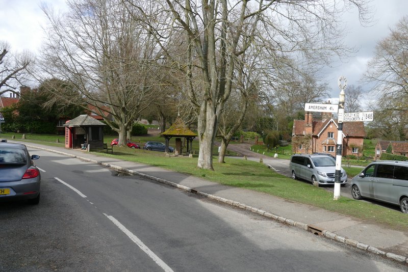
The green in the centre of Chenies
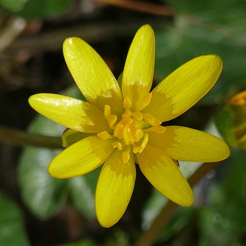
Lesser Celandine - I saw this along almost every path I walked today, this one was on the green in Chenies
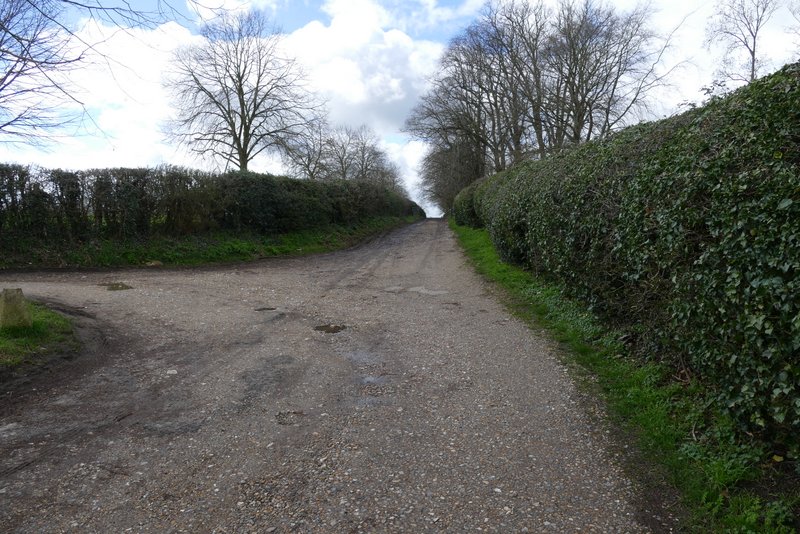
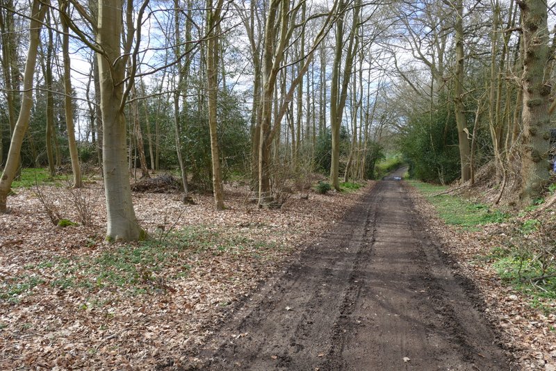
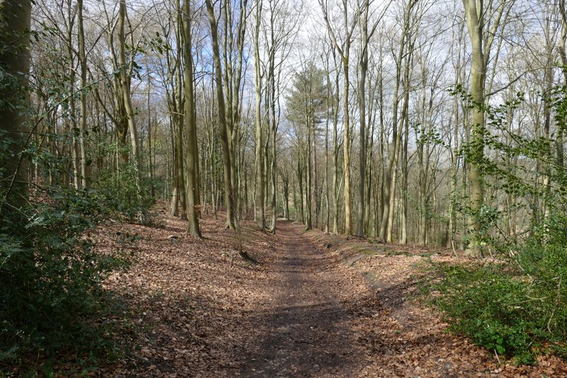
The start of the bridleway past the back of Chenies Manor
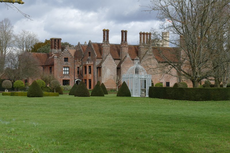
Chenies Manor
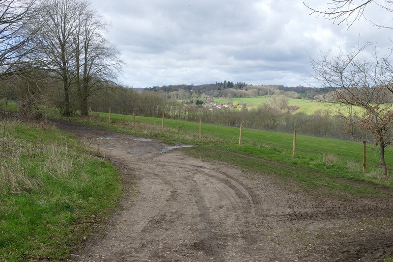
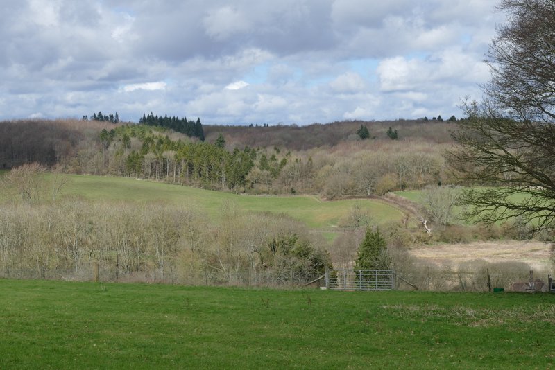
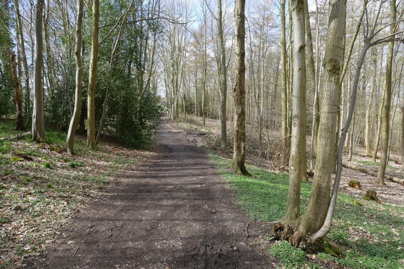
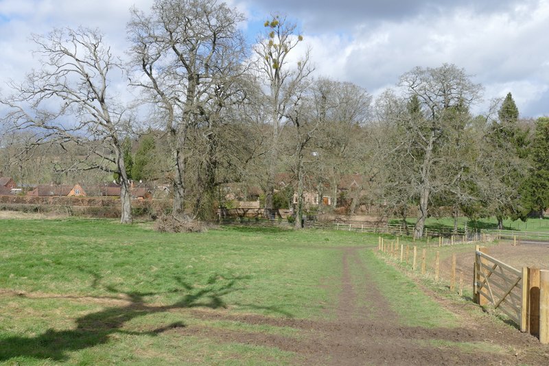
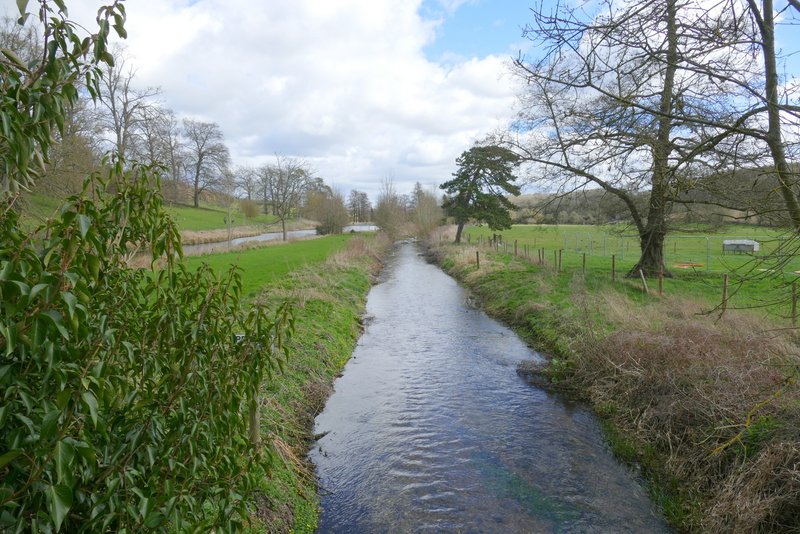
A short distance further on views opened out on my right, over and along the Chess valley. I could see the village of Latimer straight away, and a little further on could see Latimer House. After a few hundred yards the bridleway ran through Walk Wood and then ended at a lane. In 2015 I'd followed the lane a short way to the right, but today I followed a parallel permissive path on that side instead (it either wasn't here or I didn't know about it in 2015).
The start of the bridleway from Chenies Manor
First view of the Chess Valley, from the bridleway from Chenies Manor
The bridleway from Chenies Manor
View across the Chess Valley, from the bridleway from Chenies Manor
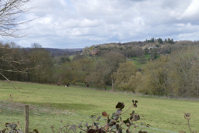
View towards Latimer, from the bridleway from Chenies Manor
The bridleway from Chenies Manor, approaching the lane
The permissive path next to the lane
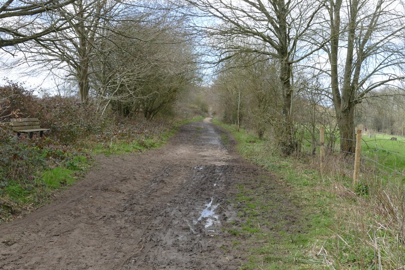
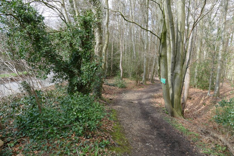
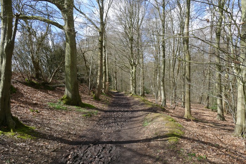
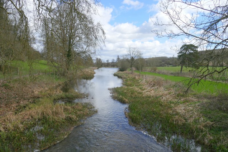
I then crossed the lane and continued down a bridleway that started on the other side. This ran just inside the edge of a wood, with fields a few yards to my left. After about a third of a mile I turned right onto a footpath, which soon turned half-left to descend through the wood at an angle. At the bottom of the slope I turned right through a gate, and followed a path along the right edge of a meadow to reach the road that runs through the Chess Valley. Across the road, a footpath continued diagonally across an empty paddock. I then continued along a drive over two bridges - there are two waterways here, the first being a mill stream, I think, and then the river Chess itself. On my left was a weir (there used to be a statue on top of the weir, but it's gone now), and on the top of the hillside in front of me was Latimer House (actually it's been renamed Latimer Place now). Just after crossing the river, I went through a gate on the right and started along a path following the river on my right.
The bridleway that starts across the lane
The footpath after I turned left, descending through West Wood
The footpath continuing from West Wood towards Latimer
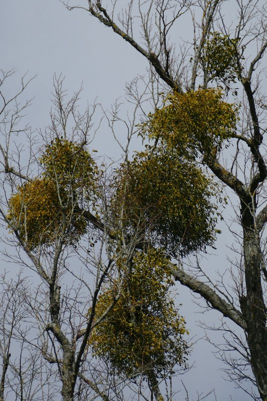
Mistletoe
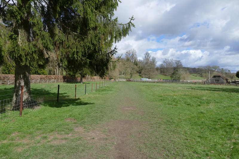
The path continuing after crossing the road through the Chess Valley
Looking right, along the mill stream
Looking right, along the river Chess
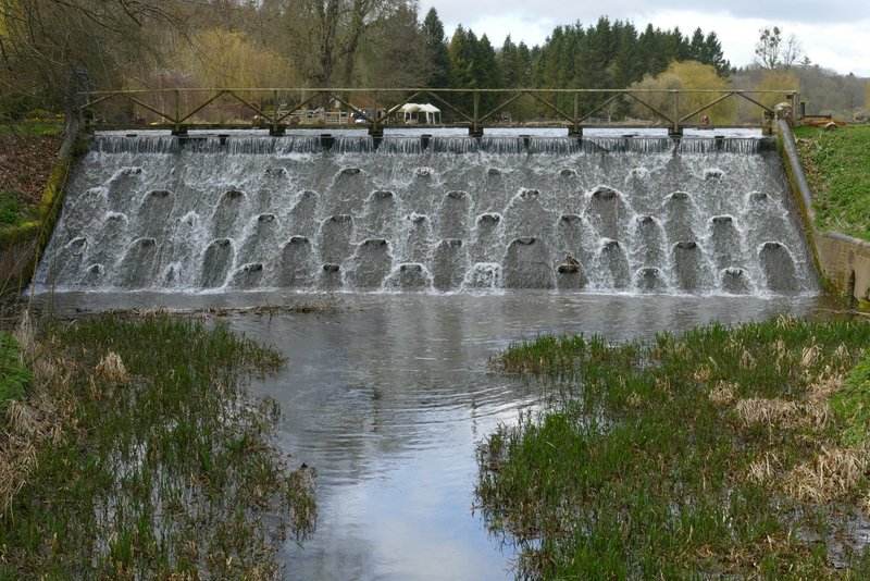
Looking left to the weir near Latimer Place (formerly Latimer House)