Pete's Walks- Bledlow and Radnage (page 1 of 4)
If you are considering walking this route yourself, please see my disclaimer. You may also like to see these notes about the maps and GPX files.
I did this circular walk of about 8.5 miles on Sunday, 2nd April 2023. It was a repeat of a walk I've done several times before (I followed 'Alternative 2' and 'Alternative 3' on the Google map, which I usually do now).
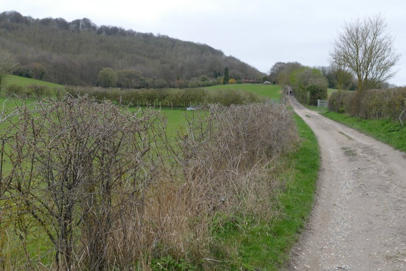
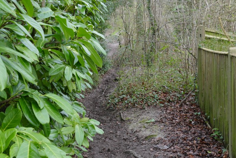
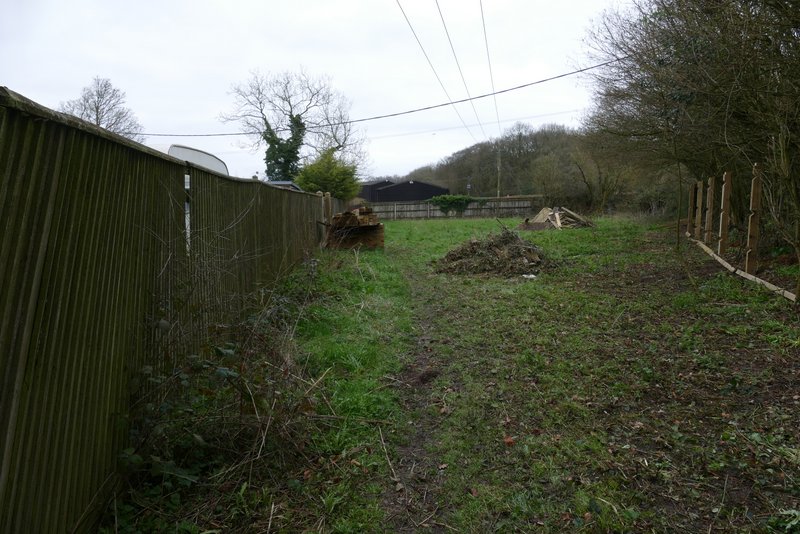
I normally park outside the church at Bledlow (grid reference SP 778022) but there was obviously a service being held there so I parked a little further down the road in a small parking area by a notice board. I started walking about 10.35am, heading down the road (away from the church) until it started to turn right, where I walked straight on for a few yards past the Lions of Bledlow pub, then took a footpath going half-left across a field (this path is 'Alternative 2' on my Google map). On the far side I reached a track, where I turned right and followed it for several hundred yards to reach the Hamlet of Hempton Wainhill. I followed the track as it passed to the right of the first house I came to, then I turned left onto a bridleway. This climbed steadily up the wooded slope of Chinnor Hill, obviously an old route as it had worn a groove into the hillside.
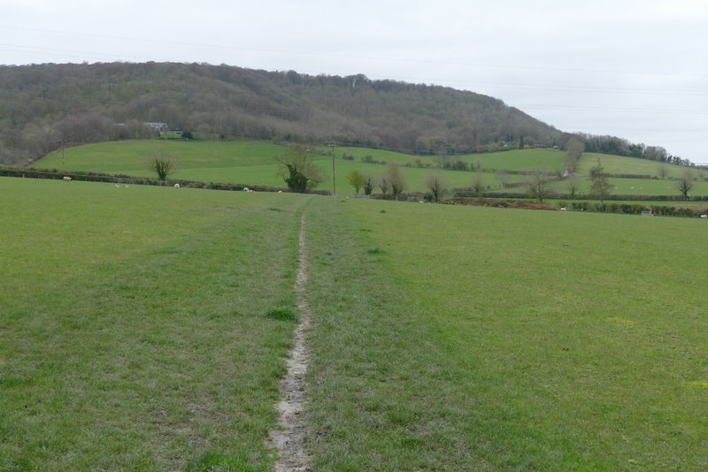
The path from Bledlow
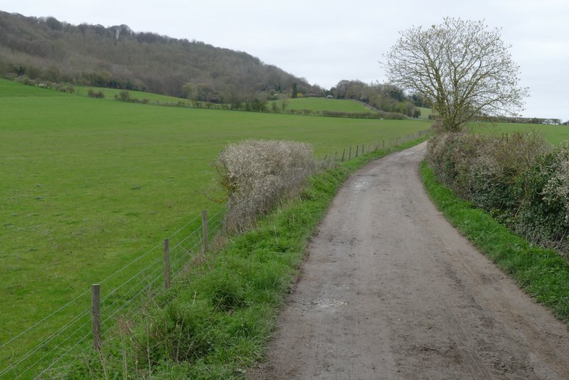
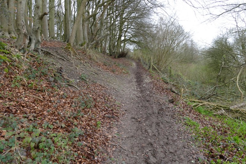
The bridleway to Hempton Wainhill
The bridleway to Hempton Wainhill
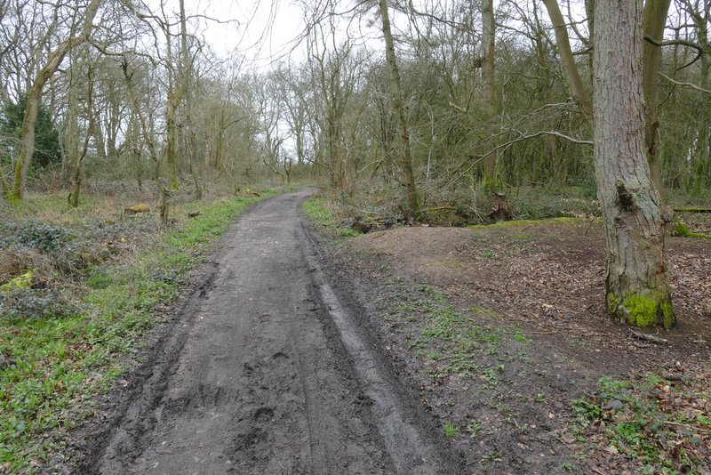
The start of the bridleway up Chinnor Hill
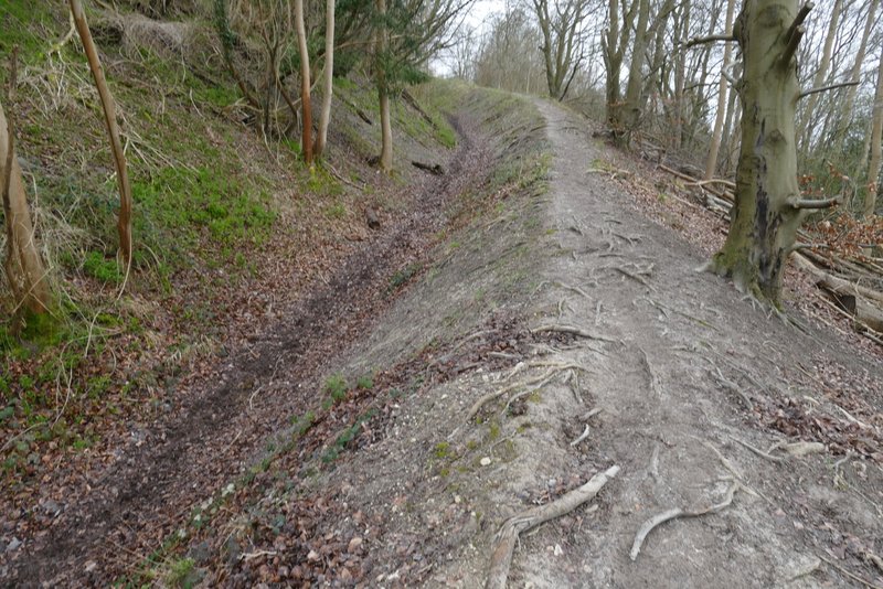
The bridleway up Chinnor Hill
The bridleway up Chinnor Hill
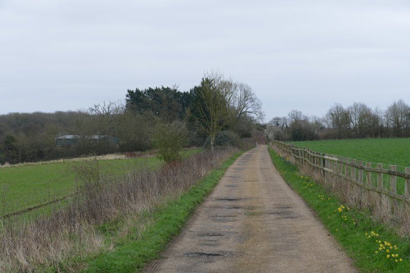
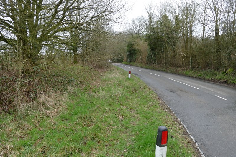
When the bridleway levelled out, I chose to stay on it rather than take the short permissive path that would have taken me to the open top of Chinnor Hill. The bridleway continued across a broad strip of grass, and then through a small bit of woodland to reach a small car park. A lane started here, which I followed for a few hundred yards to reach a minor road. Here I went left for a couple of hundred yards or so, before taking a path on the left by the entrance to Woodlands Farm. This followed the left edge of a small enclosure, then passed Badgers View Farm and followed its drive (where I spotted three Roe Deer on the other side of a valley, too far away to get a decent photograph) to return to the same road I'd just been on.
The bridleway continuing on Chinnor Hill
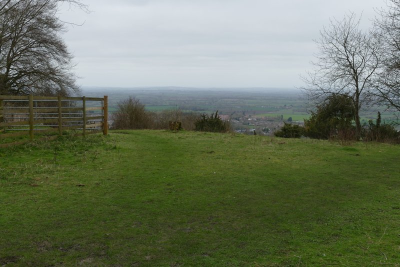
View from Chinnor Hill
The bridleway on Chinnor Hill, nearing the car park
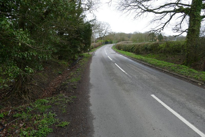
The road on Chinnor Hill
The road on Chinnor Hill
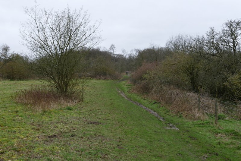
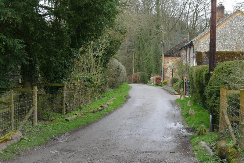
The first short road walk
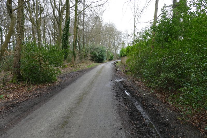
The footpath that starts by Woodlands Farm
The drive from Woodlands Farm
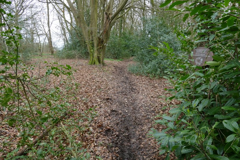
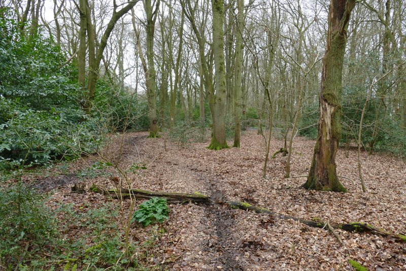
I turned right along the road and followed it as it turned right. I then turned down the first drive on the left, where after a couple of yards a bridleway forked left through the trees of Hedgerley Wood (this is the start of 'Alternative 3' on my Google map, my original route took a footpath on the bend). A short way along the bridleway I passed close to a building on my left, the bridleway then starting to descend steadily through the wood.
The second short road walk
The path through Hedgerley Wood (I mistakenly used to refer to this as Sunley Wood)
The path through Hedgerley Wood
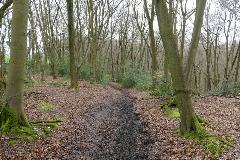
The path through Hedgerley Wood
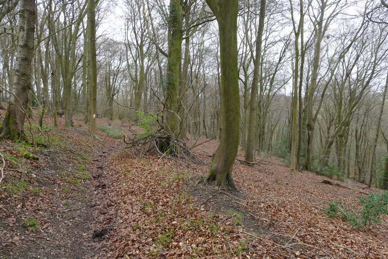
The path through Hedgerley Wood
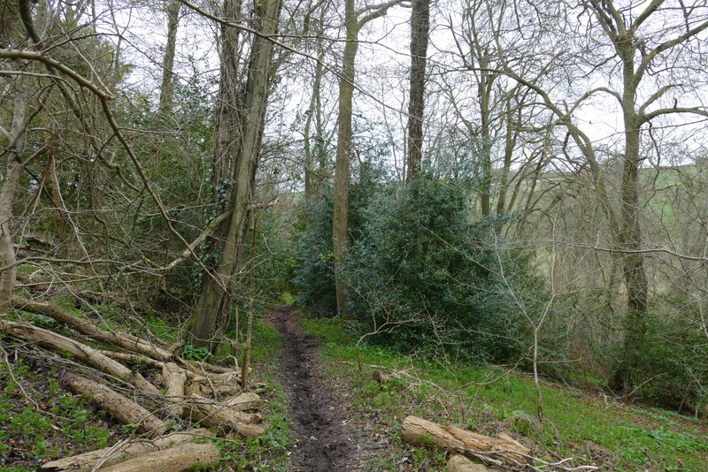
The path through Hedgerley Wood