Pete's Walks- Maidensgrove and Greys Court (page 1 of 5)
If you are considering walking this route yourself, please see my disclaimer. You may also like to see these notes about the maps and GPX files.
Google map of the walk Download GPX file of the walk
I did this circular walk of about 9.8 miles on Good Friday, 7th April 2023. It was a repeat of a walk I did in April 2015. As I was doing the walk today, I was convinced I'd walked it twice before but when I checked my records I found I hadn't repeated it - but then I found I'd repeated most of the walk on this Maidensgrove, Shepherd's Green walk I did in August 2017. Most of the paths today were familiar to me, having used them on various other routes, but there was one short section I was walking for only the second time.
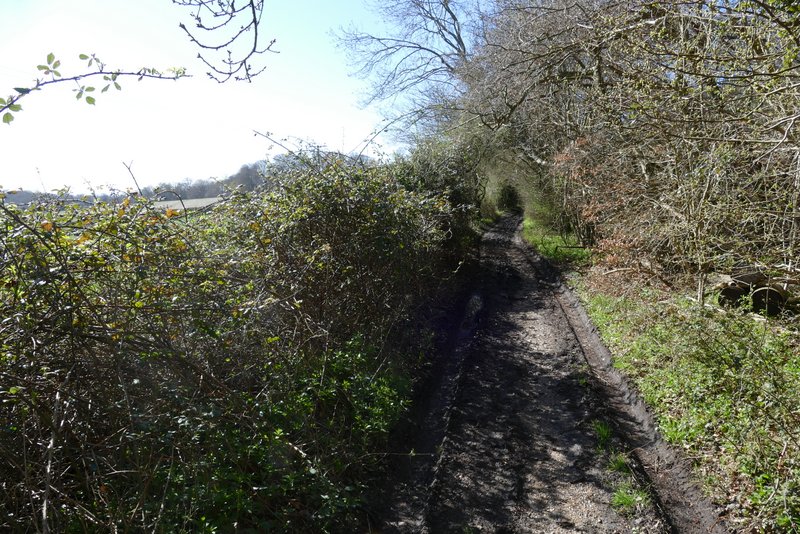
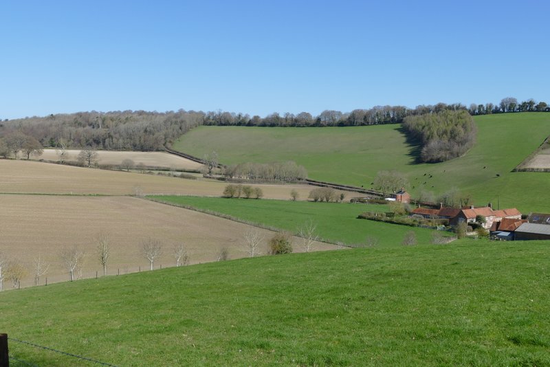
I parked beside the lane that crosses Maidensgrove Common (Grid Reference SU 718886 - the other end of the common is called Russell's Water Common), and started walking about 11.20am. I went along the lane to where it turned right along the edge towards Upper Maidensgrove and Russell's Water, but then I turned in the opposite direction, left, to walk along the edge of the common to reach a drive that led on to a lane in Maidensgrove. I turned right (more or less straight on) along the lane, heading towards Lodge Farm.
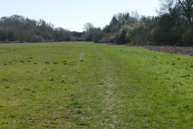
The path along the edge of Maidensgrove Common
Further along the same path
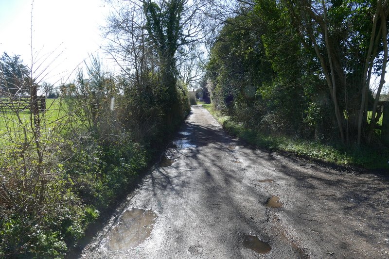
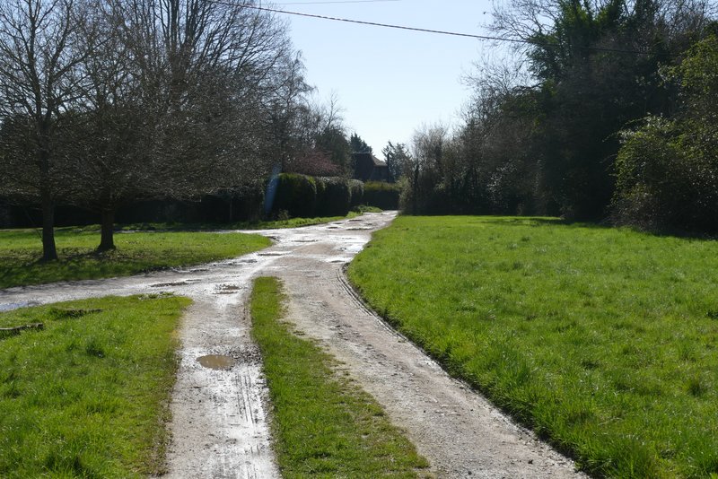
The lane through Maidensgrove, heading to Lodge Farm
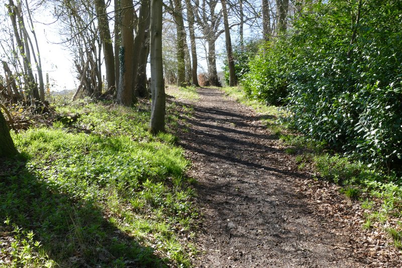
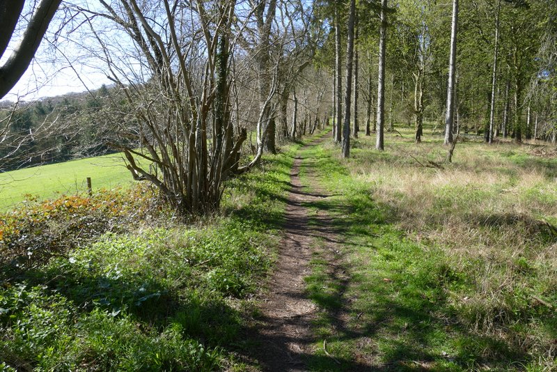
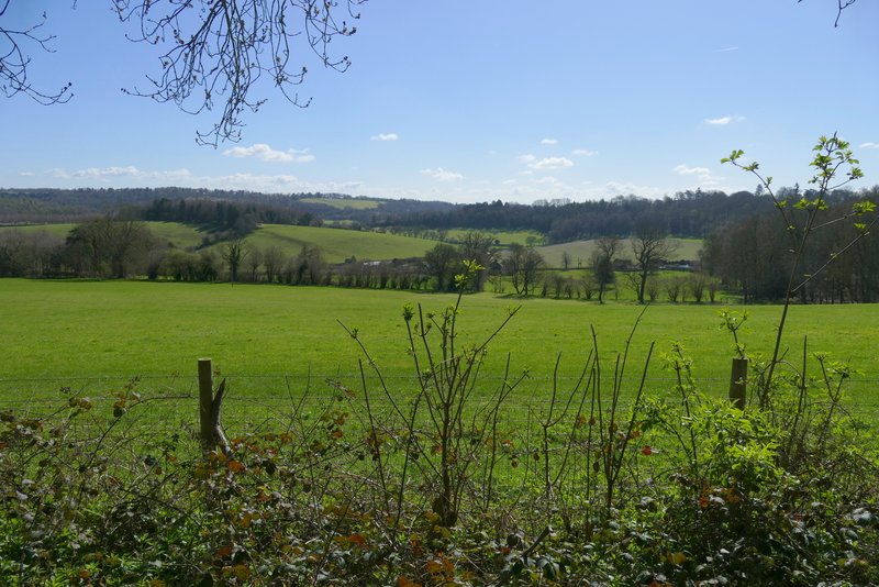
Just before the lane ended at Lodge Farm, I turned right and followed a bridleway just inside the edge of the Warburg Nature Reserve. The bridleway was on a good track, the bit of the nature reserve that was on my left soon petering out until there was just a hedge there. After about a third of a mile I kept right at a fork, the bridleway now dropping downhill through Freedom Wood. Soon there were nice views over the nature reserve in the wooded valley to my right. Beyond the wood, the bridleway continued downhill between hedges to reach the lane that runs through the valley of Bix Bottom.
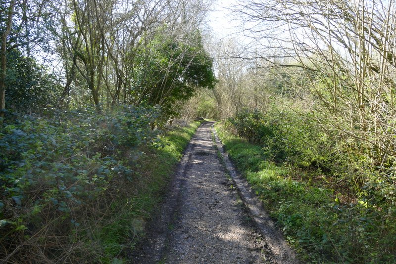
Near the start of the bridleway past the Warbug Nature Reserve
The bridleway past the Warbug Nature Reserve
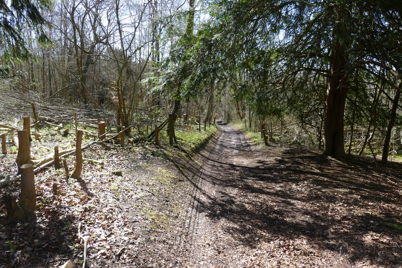
The bridleway past the Warbug Nature Reserve
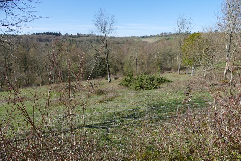
Looking right from Freedom Wood, over the Warburg Nature Reserve
The bridleway continuing through Freedom Wood
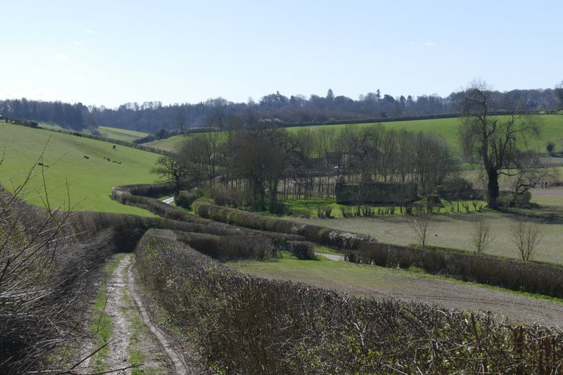
The bridleway approaching the lane in Bix Bottom - the trees in the centre surround the old church
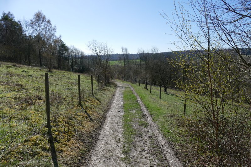
I turned left along the lane in Bix Bottom, but after a few yards I stopped to look at the remains of St James church I continued down the lane as far as Valley End Farm, where I turned right and walked through the farm and on along a track. After one or two hundred yards I turned left, following a fence uphill to a wood.
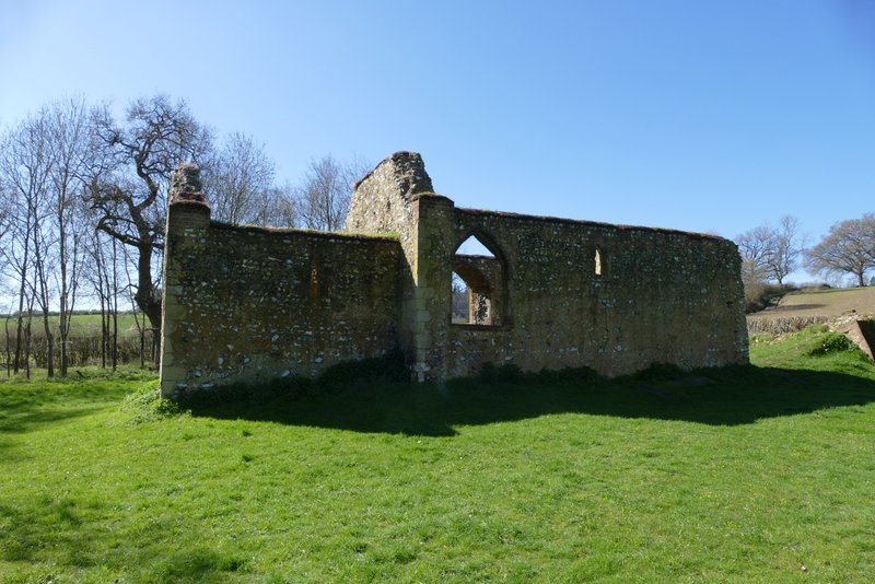
The remains of St James's church, Bix Bottom
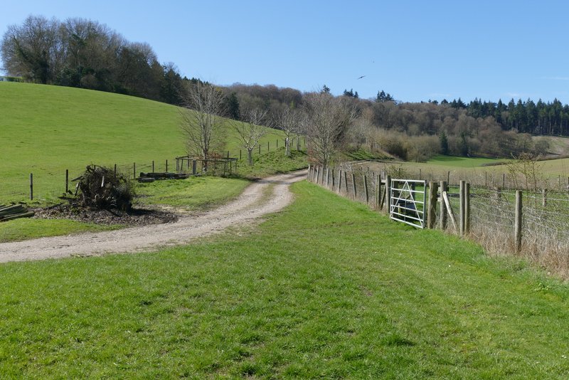
The footpath from Valley End Farm
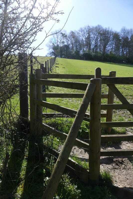
The path to Coney Burrow, after I turned left
When I reached the wood (I think it's called Coney Burrow, though I'm not sure about the first section of it), I turned round and admired the view back the way I'd come. I then followed the path through the wood, this first bit of the wood being fairly narrow with the path just inside its left edge. There were occasionally views to my left along the continuation of Bix Bottom as it made its way towards Middle Assendon.
View, from the edge of Coney Burrow looking back the way I'd come
The path through Coney Burrow
The path through Coney Burrow
Looking left from the path through Coney Burrow