Pete's Walks- Ewelme and Swyncombe (page 1 of 3)
If you are considering walking this route yourself, please see my disclaimer. You may also like to see these notes about the maps and GPX files.
Google map of the walkDownload GPX file of the walk
I did this roughly 7.4 mile circular walk on Saturday, 15th April 2023. It was a repeat of a walk I did in March 2014
I parked at the car park by the playing fields at the southeast of Ewelme, next to a lane junction (adjacent to Cow Common, grid reference SU648912). I started walking about 10am, heading up the lane that started opposite the car park, until I reached the churchyard on my left. I then took a footpath starting on the right - this went along a driveway for a few yards before running to the right of the driveway. It continued past a line of trees, then crossed a large arable field. It was colder than I'd thought it would be, so on the far side of the field I stopped to put on my lightweight rain jacket. I then turned right along a pleasant bridleway, initially with young hedges either side. Further on the bridleway joined a farm track and continued on towards the wooded western slope of Swyncombe Downs, passing a house or farm marked Huntingland on the OS map. Spring has definitely sprung - I had my first sighting for 2023 of a group of young people doing the Duke of Edinburgh Award. I also saw three Buzzards here.
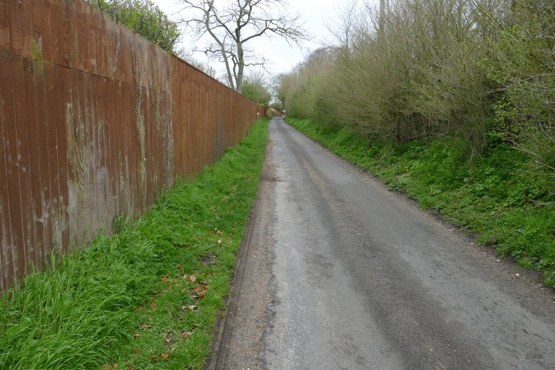
The lane through Ewelme
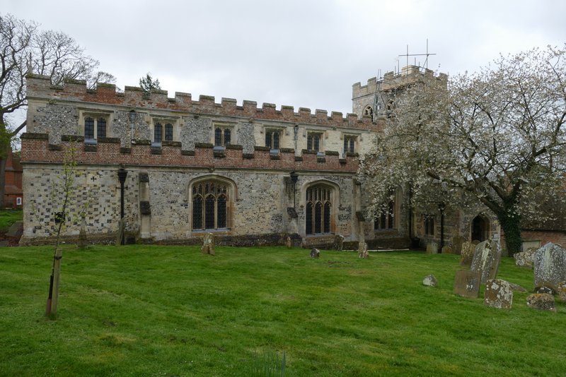
Ewelme church (I went a few yards past the start of the footpath to take this shot)
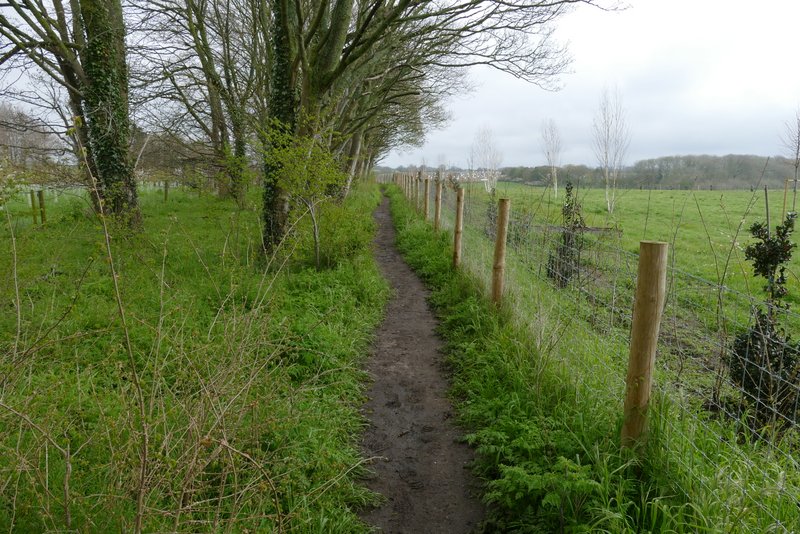
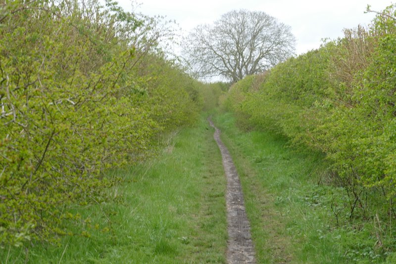
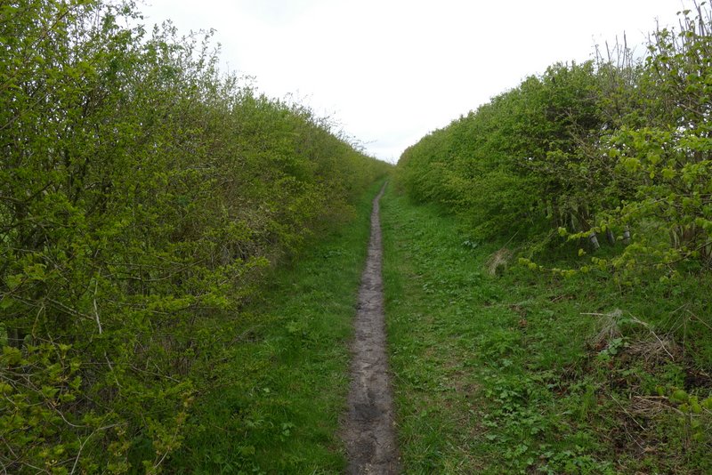
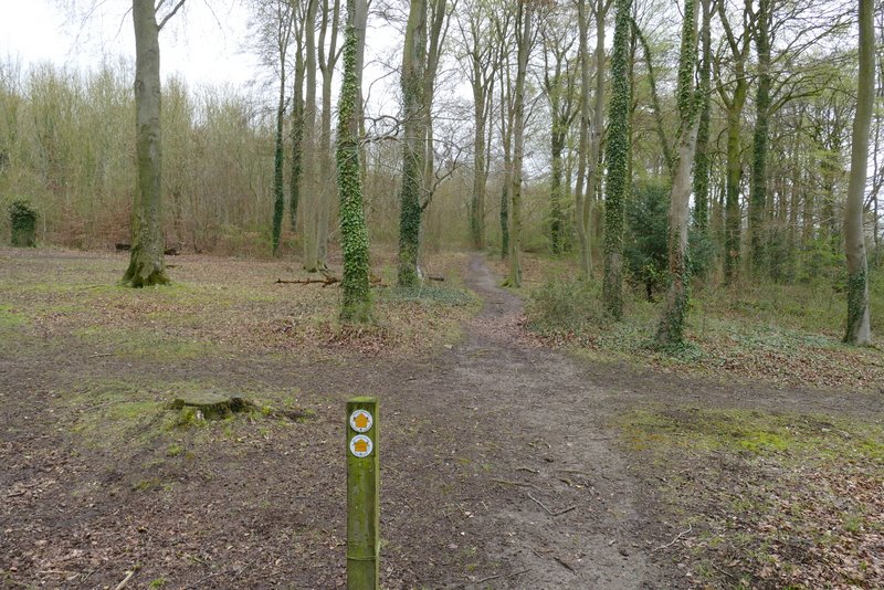
The footpath going northeast from Ewelme
The footpath going northeast from Ewelme
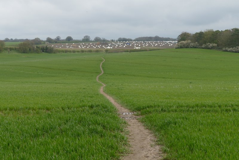
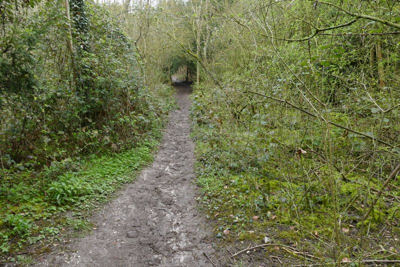
The bridleway going east, towards Swyncombe Downs
The bridleway going east, towards Swyncombe Downs
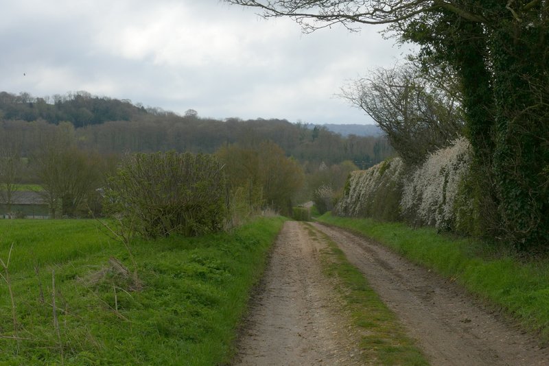
The bridleway going east, towards Swyncombe Downs (the wooded slope now in view)
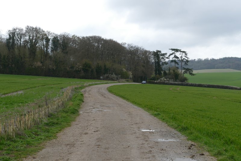
The bridleway going east, towards Swyncombe Downs
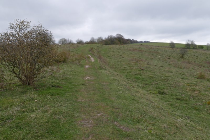
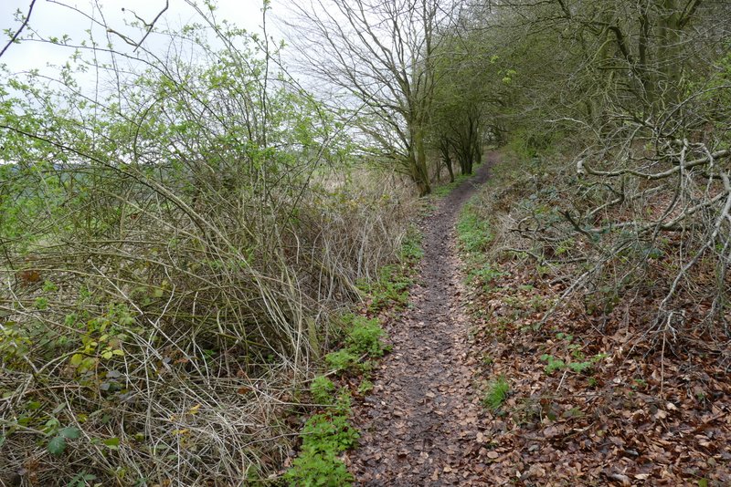
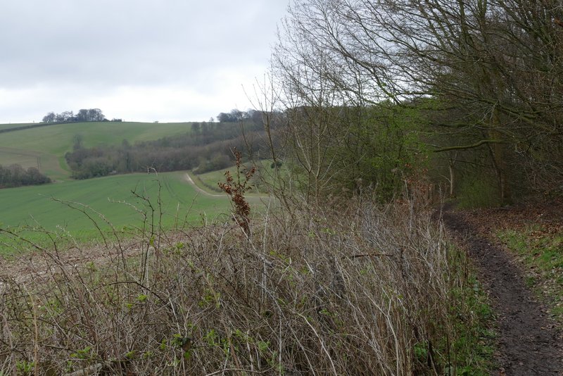
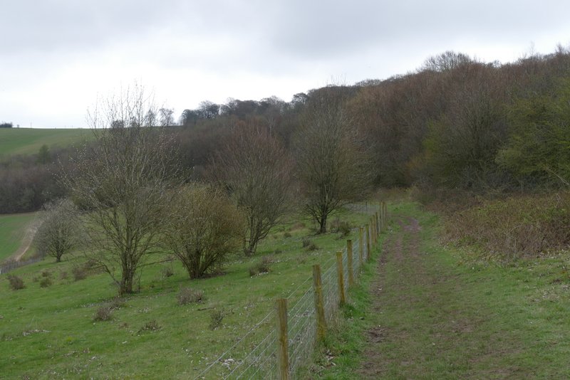
At a track crossroads at the foot of Swyncombe Downs, I went a few yards straight on then took a footpath on the left (this was slightly different to what I did in 2014). This went through a small area of Beech trees and then started to climb up the end of Swyncombe Downs. There were mainly small trees at the foot of the slope, further up I passed some Yews. At the top of the slope I emerged onto a nice grassy promenade, with pleasant views. Beyond this, the path ran through bushes on the left of the Downs, following the line of an ancient earthwork called the Danish Intrenchment (thought to be a boundary marker between the Danes and the Kingdom of Wessex, before the Danes were repulsed by King Alfred). To my left I had views along the Chiltern Escarpment, to Watlington Hill with Shirburn Hill and Beacon Hill (the one near Aston Rowant, not the one near Chequers) beyond.
The start of the path up Swyncombe Downs
The path up Swyncombe Downs
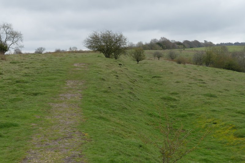
The path continuing along the top of Swyncombe Downs
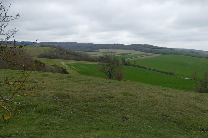
Looking south from Swyncombe Downs
The path along the top of Swyncombe Downs
The path along Swyncombe Downs
The path along Swyncombe Downs
The path along of Swyncombe Downs