Pete's Walks- Cadmore End and Idlecombe Wood (page 1 of 4)
If you are considering walking this route yourself, please see my disclaimer. You may also like to see these notes about the maps and GPX files.
I did this 6.7 mile walk on Saturday, 13th May 2023. The route was basically an extension of a Cadmore End and Turville route that I walked in April 2022. I'm getting lazy in my old age, so this report is largely 'cut and paste' from my report of that walk. At least the photos are new!
I parked along the start of Church Road in Cadmore End, near the school, and started walking just before 10.15am. There were an unusually large number of cars parked here today, and I saw lots of young people with rucksacks gathering by the cricket club, which I passed on my left just before I reached the village church. I then took a bridleway that went down a farm track starting on the right. I soon passed a group of the young people (about 10-15 of them, with an adult) who were studying their map and working out where to go next.
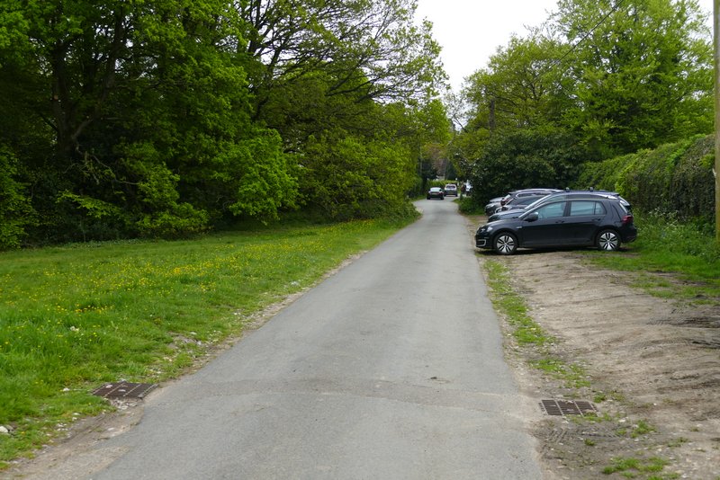
The start of the walk, along Church Road, Cadmore End
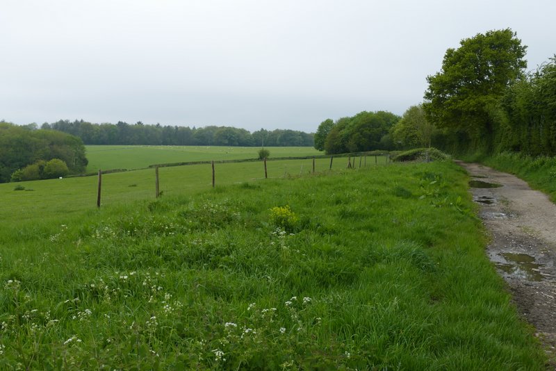
Near the start of the track from Cadmore End to Hanger Wood
Further along the track, with Hanger Wood ahead
View left from near Hanger Wood
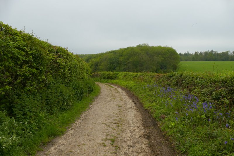
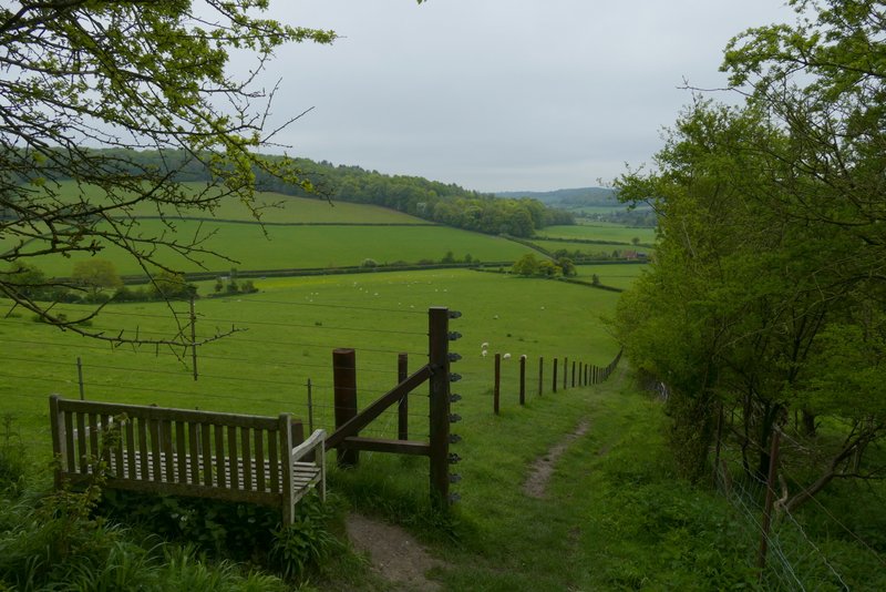
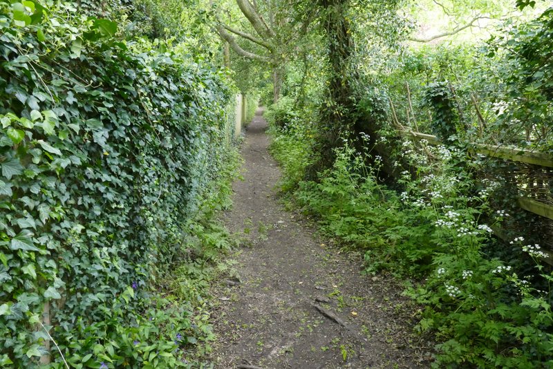
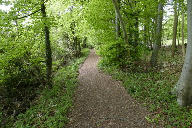
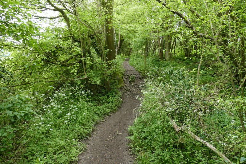
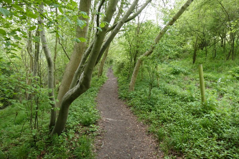
On reaching Hanger wood I immediately forked right onto a footpath (the bridleway continues along the edge of the wood), following it southwards through the wood for about half a mile. There was a good display of Bluebells in some parts of the wood. The path then dropped quite steeply downhill, between a fence and a high hedge on my right. At the bottom of the hill the path continued between fences, going right at a junction (where a path came in from the left) to follow an alley between garden fences to reach Fingest.
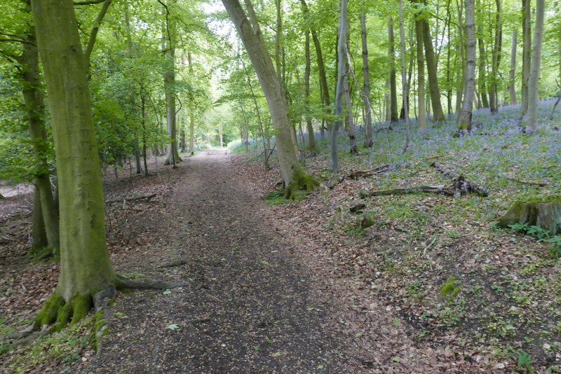
The path through Hanger Wood
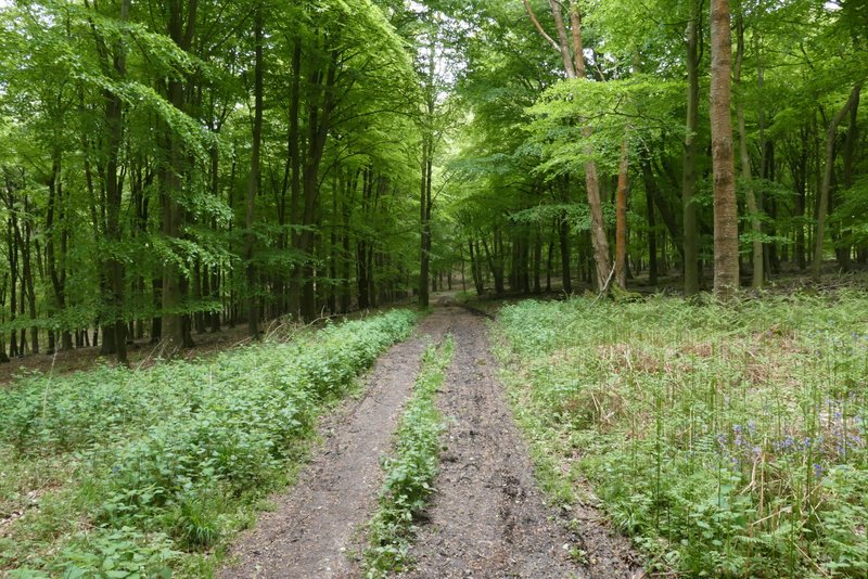
The path through Hanger Wood
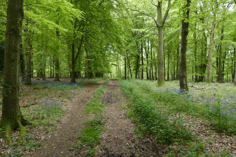
The path through Hanger Wood
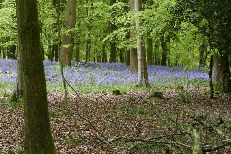
Bluebells in Hanger Wood
The path descending from Hanger Wood to Fingest
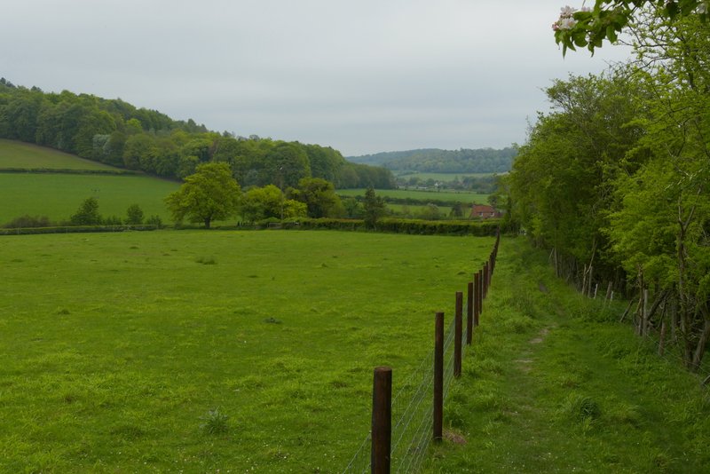
The path descending from Hanger Wood to Fingest
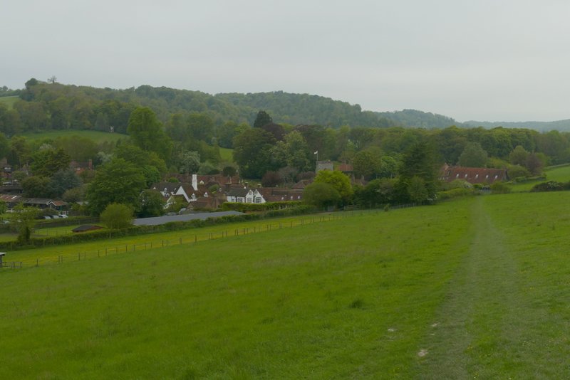
Approaching Fingest
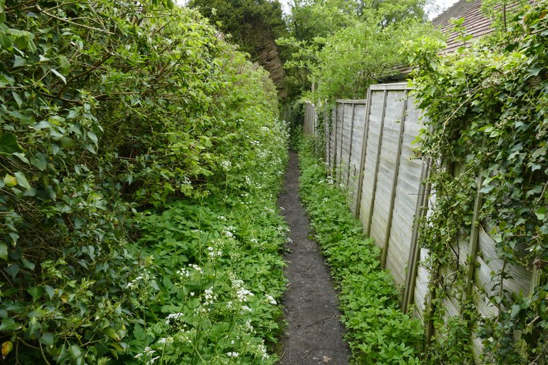
The alley into Fingest after going right at a path junction
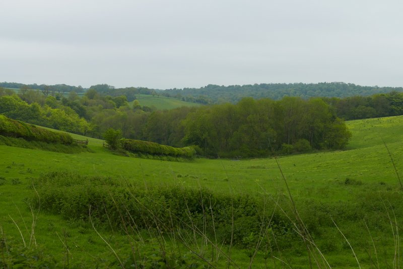
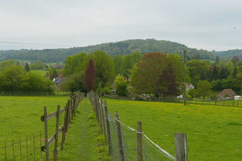
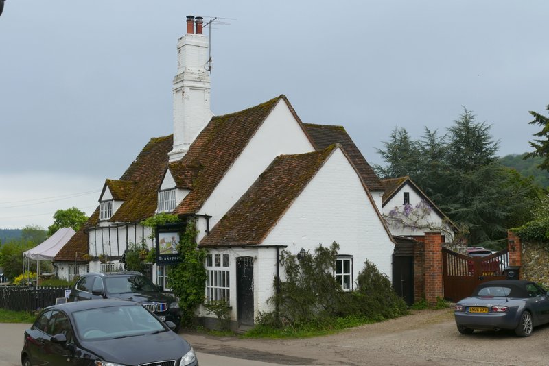
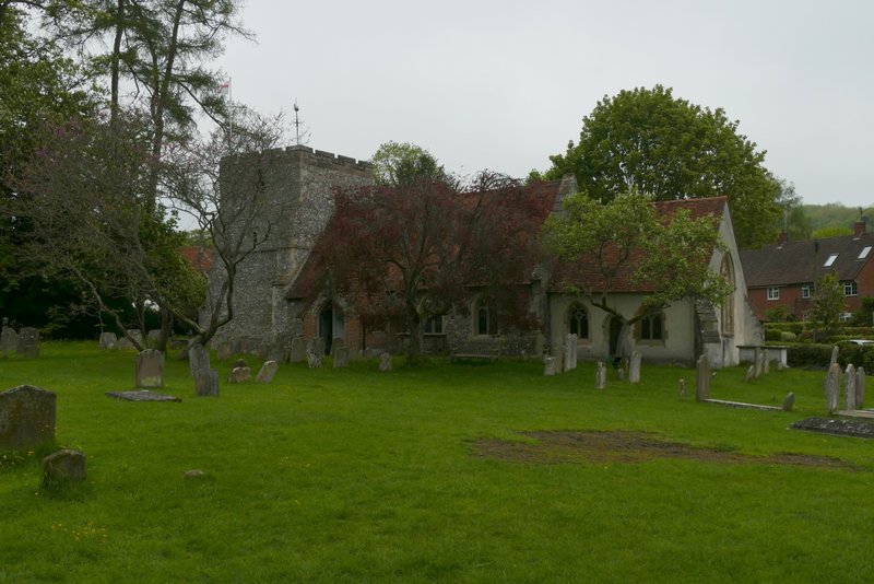
I turned left, along Chequers Lane, with the impressive church on my right. At a T-junction opposite the Chequers pub, I turned right (still with the churchyard on my right), then when the road turned left I went straight on along a footpath. This ran alongside a garden wall then fences on my left. On reaching a path junction I turned left and soon came to a lane. Across this a footpath continued ahead, staying quite level as it crossed the foot of a steep hill sloping up to my right. After emerging from some bushes, the path gently descended across a large meadow to reach the far left corner. On reaching the corner, I turned left to reach the centre of Turville. Here I turned right, to pass the church on my left.
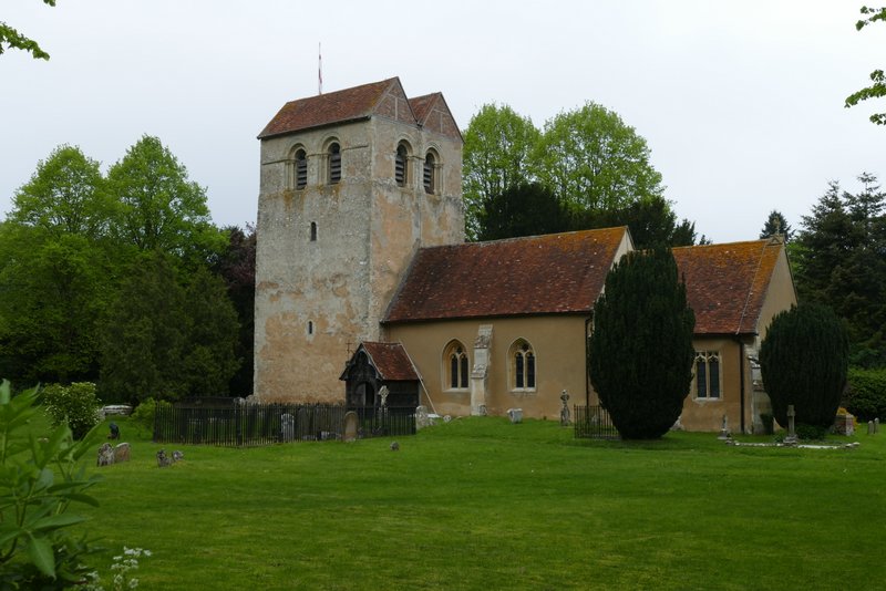
Fingest church
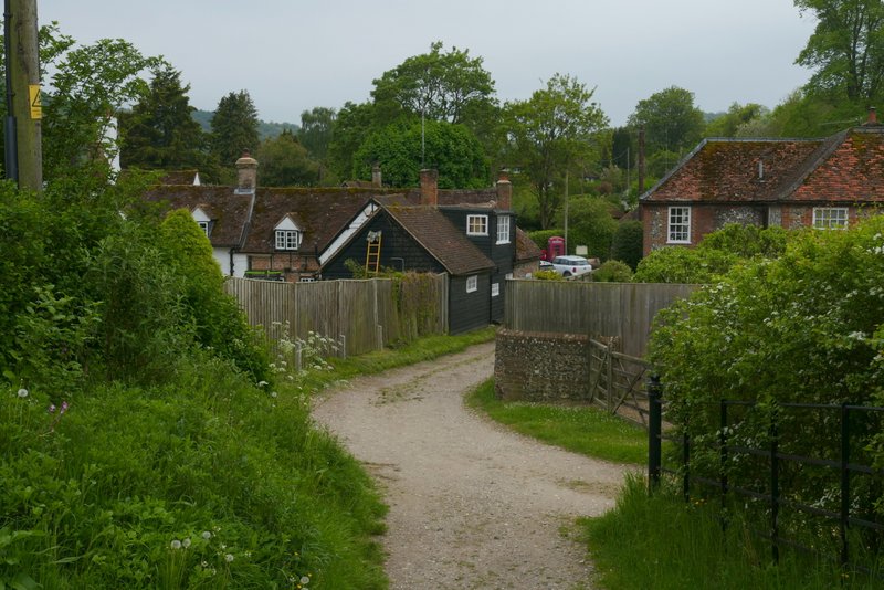
Near the start of the path out of Fingest
The path path out of Fingest, after I went left at a junction
The path to Turville, after crossing the lane
The path to Turville
Approaching Turville
Entering Turville, after turning left
The Bull and Butcher pub, Turville
Turville church