Pete's Walks - Cholesbury and Chartridge (page 1 of 6)
If you are considering walking this route yourself, please see my disclaimer. You may also like to see these notes about the maps and GPX files.
I did this circular walk of about 12.3 miles on Friday, 30th June, 2023. It was meant to be a repeat of Walk 6 of my Chiltern Chain Walk, but starting at Cholesbury rather than Buckland Common (because it's easier to park at Cholesbury). Annoyingly I managed to miss a turning near the end of the walk, so I ended up doing a slightly different route (the bit of the intended route that I missed is shown as Alternative 1 on my Goggle map).
I parked by the cricket pitch in Cholesbury (Grid Reference SP933071) and started walking about 9.20am, following the road west (away from the cricket pitch). Just after passing the village hall on my right, I took a footpath on the left. This passed between garden fences, then followed a hedge-line down into a valley. At the bottom of the slope, I turned left, and followed a wooden fence along the valley bottom (I could just see two of the sails of Cholesbury Windmill visible in the trees ahead and to my left). I then crossed a road and went down a drive on the other side, soon passing an overgrown smallholding on my left.
. 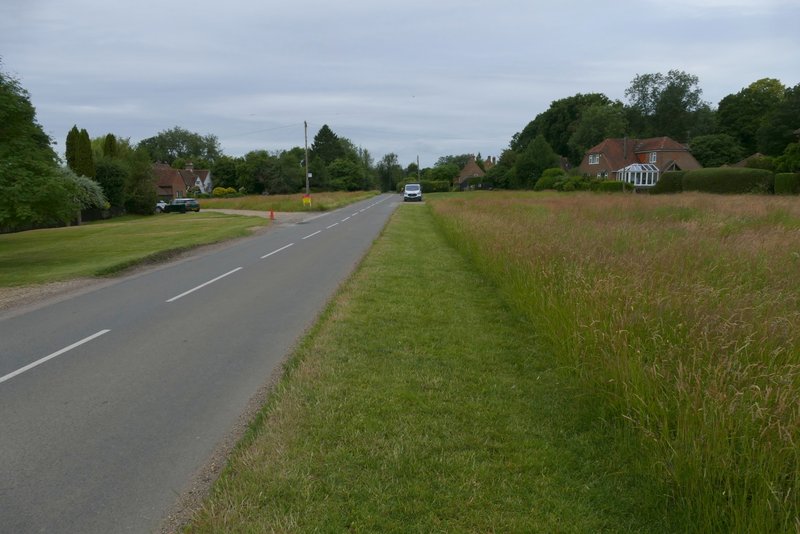
The road through Cholesbury (I turned left roughly where the road disappears from view)
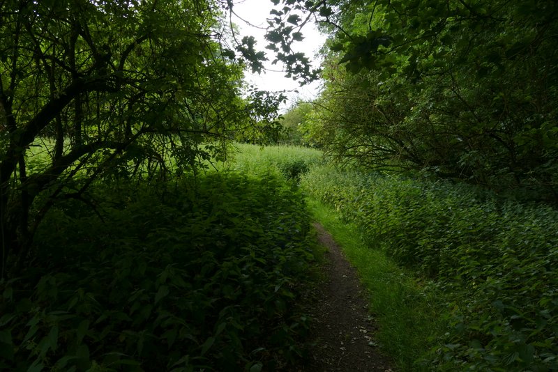
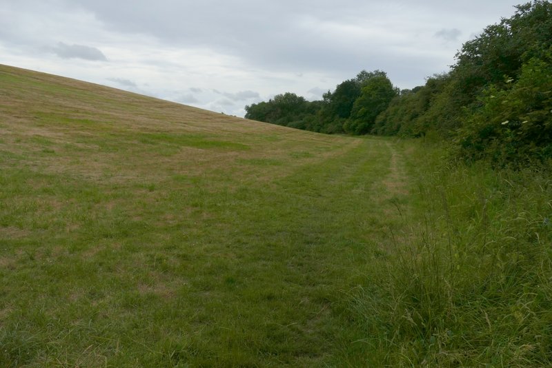
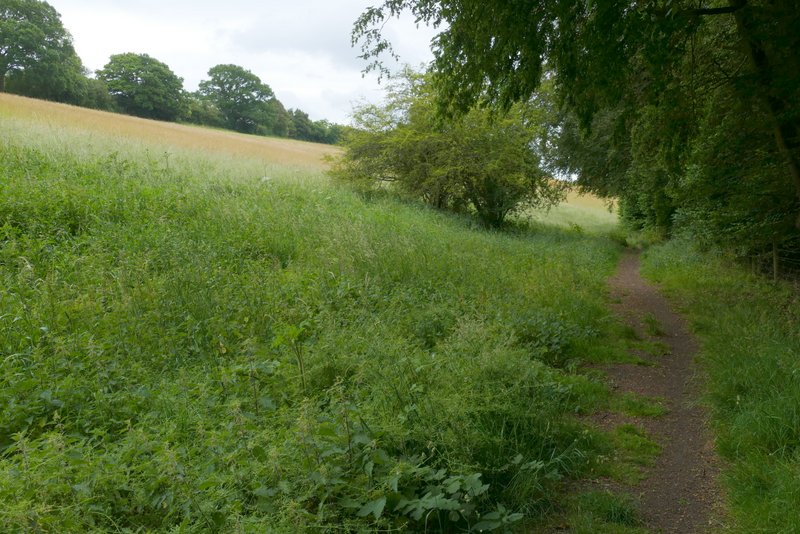
The path I took from Cholesbury (I turned left in the valley bottom)
The path after I turned left in the valley bottom
The path after I crossed the road
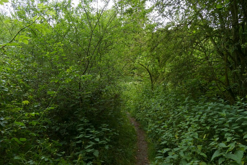
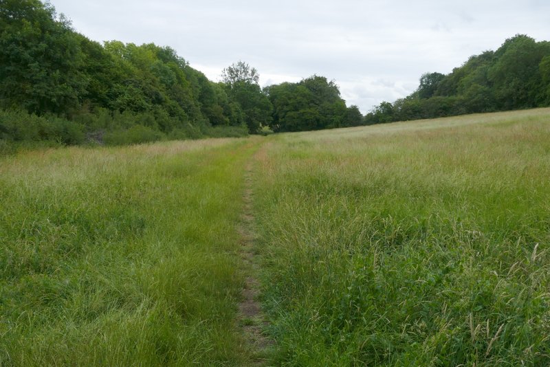
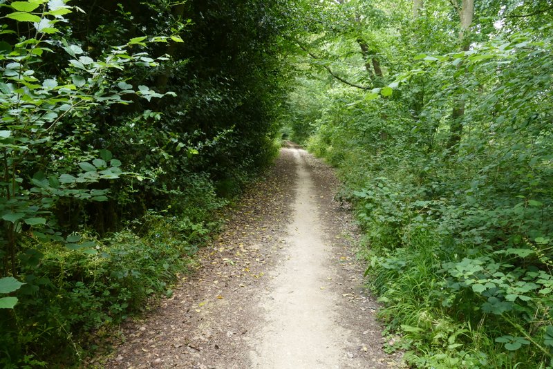
The path continuing along the valley
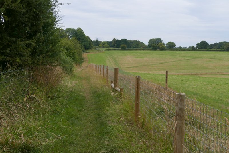
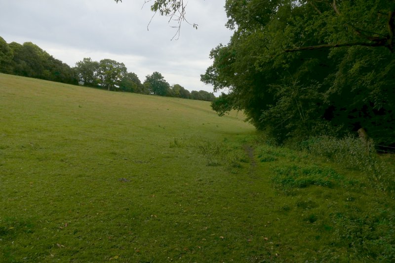
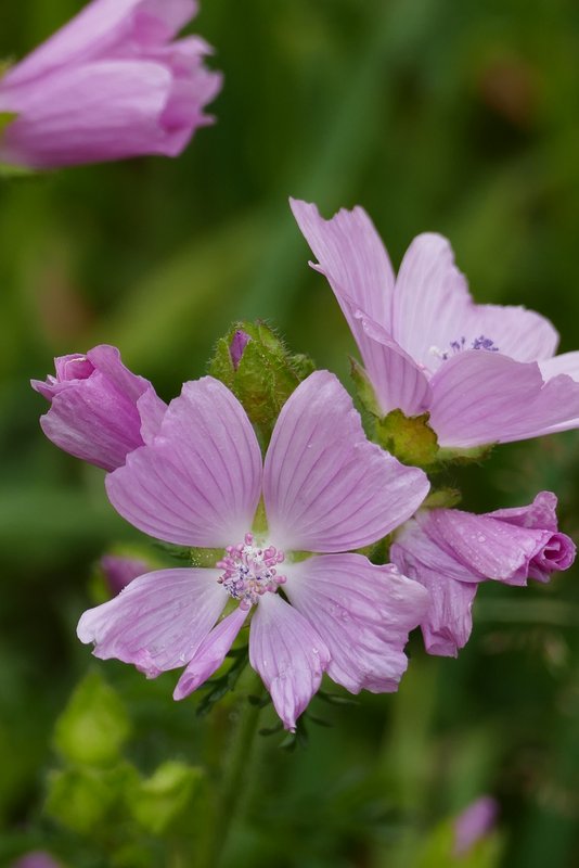
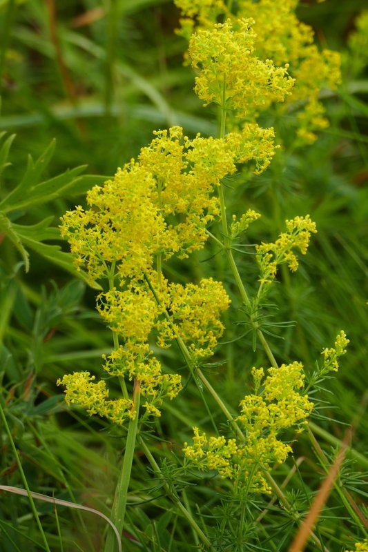
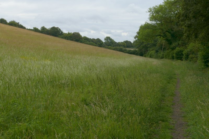
I now had to follow the valley bottom south-east for about two miles - the far end of the valley is named White Hawridge Bottom on the OS map, I can't tell if that name applies to the whole valley or not. I soon passed part of a wood on my right, then there was a rather overgrown section with a lot of nettles, and then the path was in woodland for a while. The path then ran through two large meadows or pastures that sloped steeply up to my left. It then crossed a track (Hawridge Lane) and followed the left of a meadow where I saw both Musk Mallow and Lady's Bedstraw growing, as well as my first Marbled White butterflies of 2023.
The path continuing along the valley
The path continuing along the valley
The path continuing along the valley
The path continuing along the valley
The path continuing along the valley, after crossing Hwaridge Lane (a track)
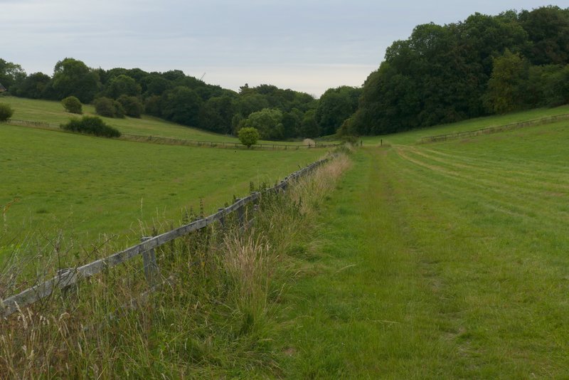
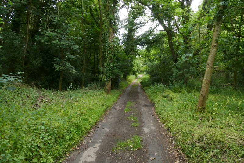
The path then switched back to the left of a hedgerow, and continued through three more large meadows or pastures, which again sloped steeply up on my left. It then entered an arable field, with Ramscoat Wood now on my right. About two-thirds of the way through this field the path turned right into the wood and immediately ended at a junction with a byway. I turned right here and followed the byway uphill through the wood. Towards the top of the slope the byway turned right, and stayed just inside Ramscoat Wood as it later turned left and then right again.
The path continuing along the valley
The path continuing along the valley
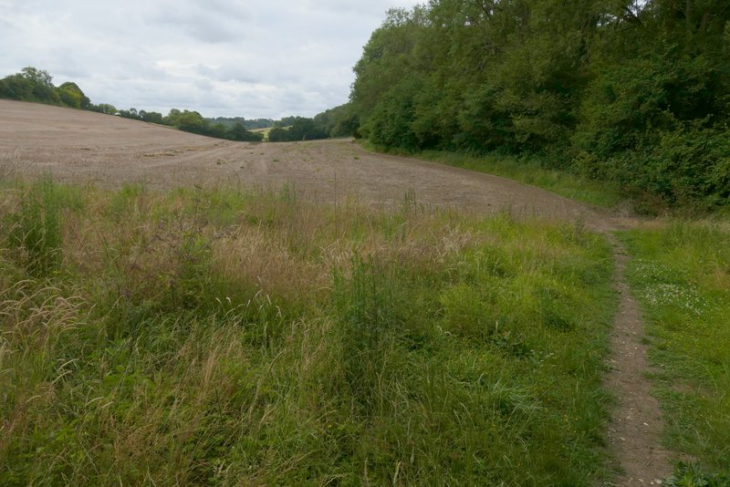
The path continuing along the valley (now definitely White Hawridge Bottom), as it starts to run beside Ramscoat Wood
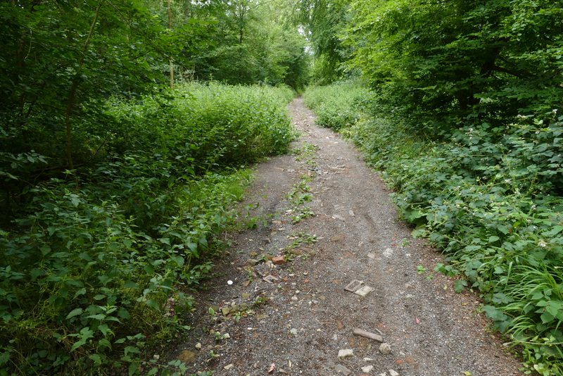
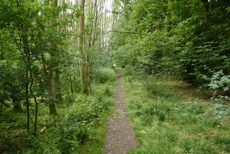
The byway through Ramscoat Wood
The byway through Ramscoat Wood
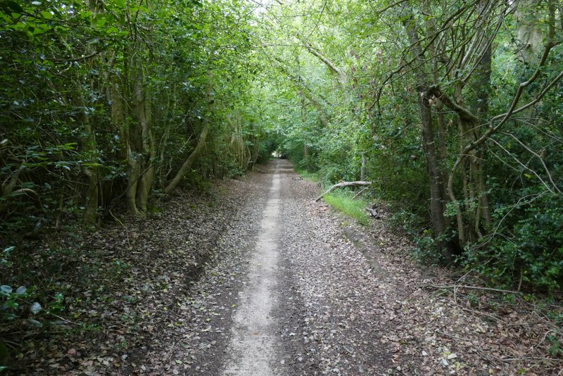
The byway through Ramscoat Wood