Pete's Walks- Cholesbury, Great Hivings, Chartridge End (page 1 of 4)
If you are considering walking this route yourself, please see my disclaimer. You may also like to see these notes about the maps and GPX files.
Google map of the walkDownload GPX file of the walk
I did this circular walk of about 8.7 miles on Friday, November 17th, 2023. It was a repeat of a walk I did in May 2016 (I've walked the route more often in the opposite direction). I'm afraid much of this report is 'cut and paste' from the report for that walk.
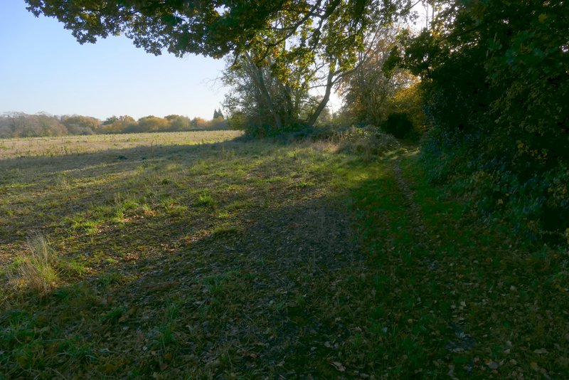
I parked by the cricket ground in Cholesbury (Grid Reference SP933071) and started walking about 9:40am, walking along the edge of the common beside the road on my right. I kept going until a few yards before a lane came in from the left, where I crossed the road and took a footpath on the other side of the road that went a yard or two down a gravel drive then headed south between fences and hedges. It dropped downhill into a valley, where it crossed another footpath (the long one that runs through White Hawridge Bottom) and continued up the other side of the valley through a wood. Beyond the wood, it followed a hedge on my right for a hundred yards or so to reach a path junction in a field corner. Here I went slightly right, following a path between a hedge on my left and what the OS map describes as 'Works' on my right (it looked like a builders merchants).
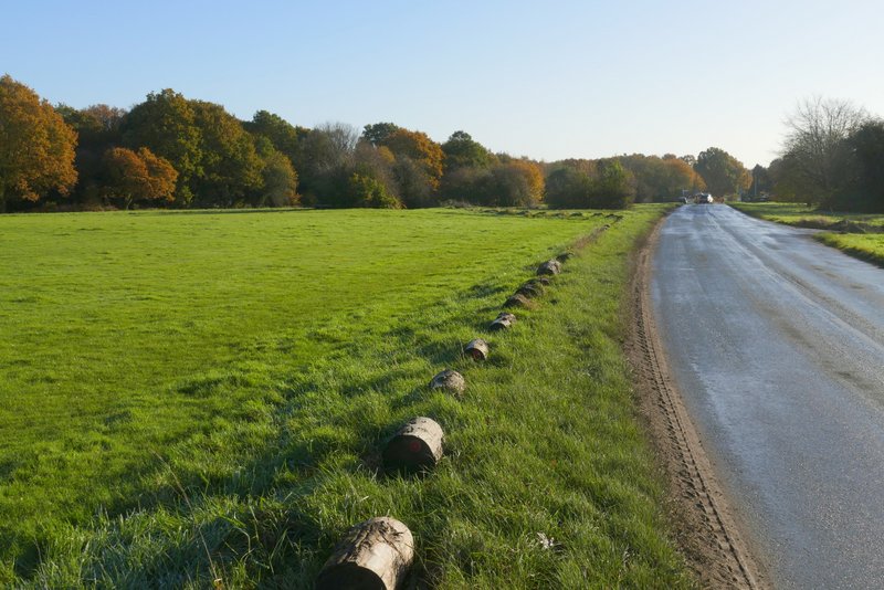
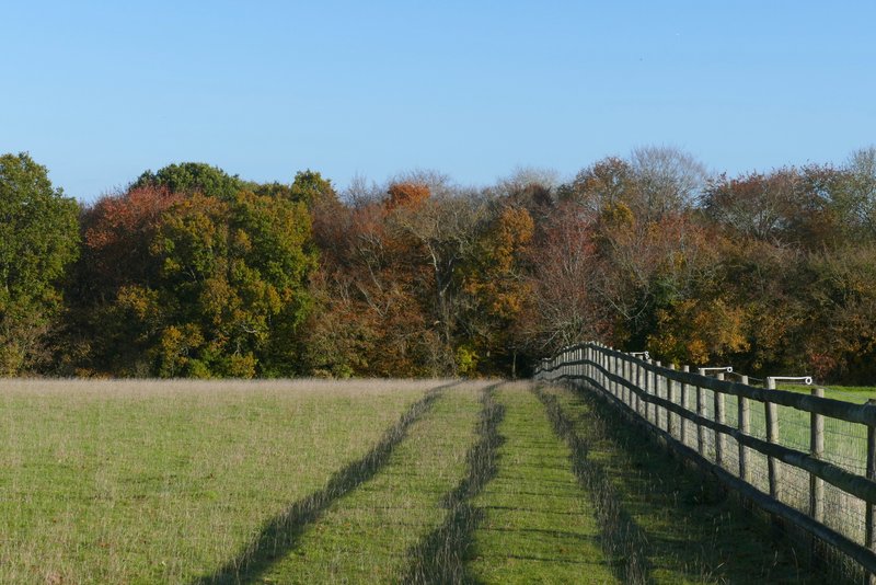
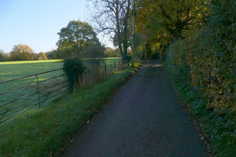
The path beside the road through Hawridge
The path beside the road through Hawridge
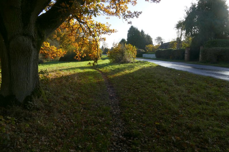
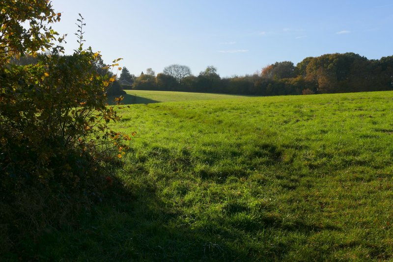
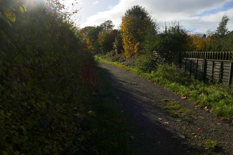
Near the start of the path going south from Hawridge
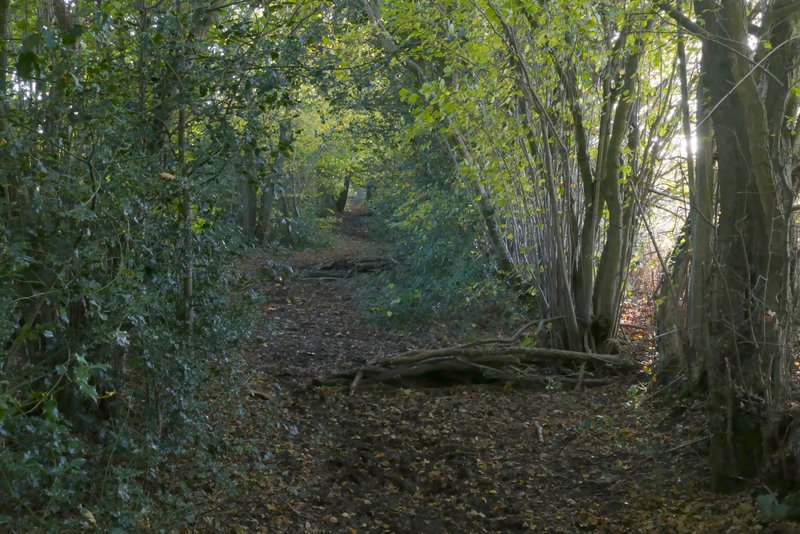
The path going south from Hawridge
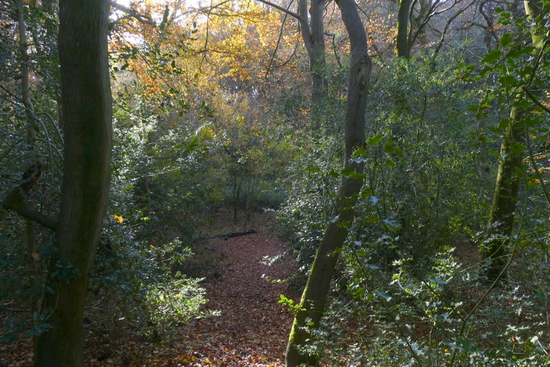
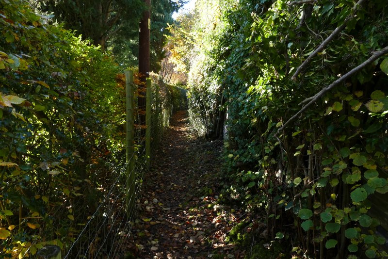
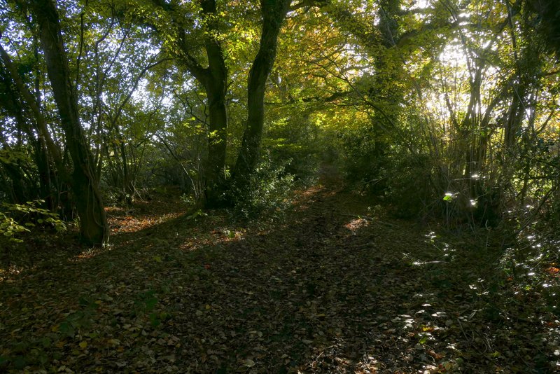
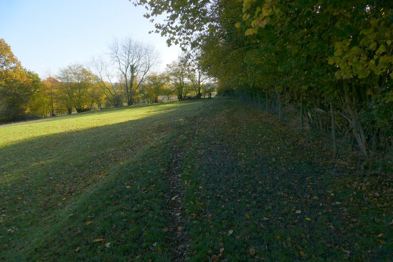
The path going south from Hawridge, approaching the valley bottom
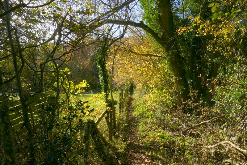
The path going south from Hawridge, starting up through the wood on the other side of the valley
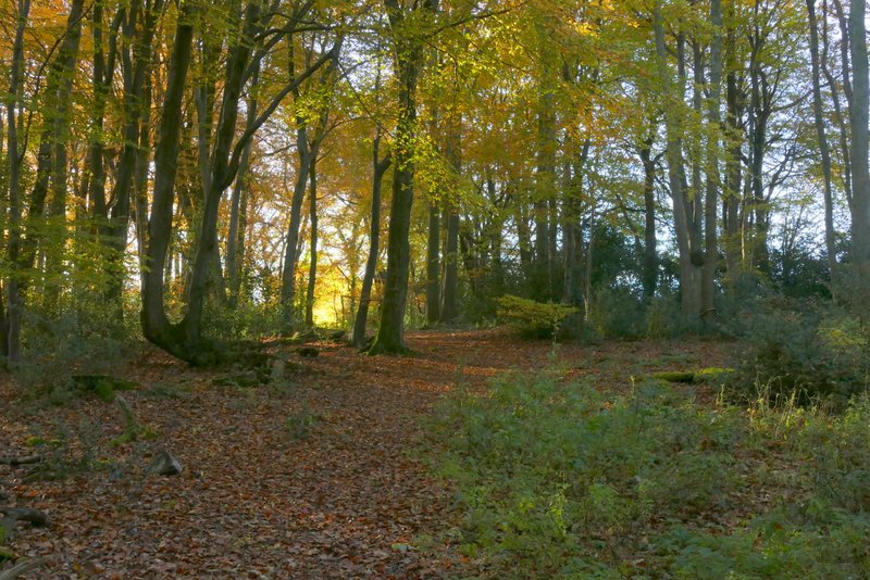
The path going south from Hawridge
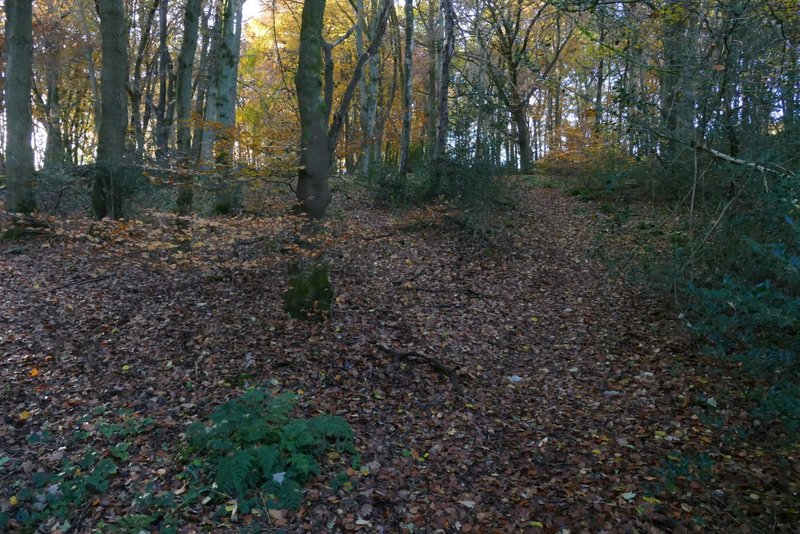
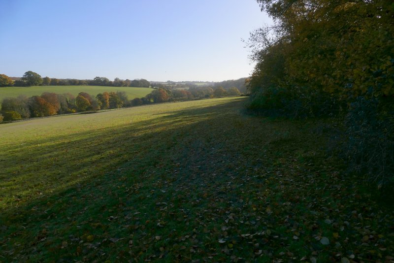
The path going south from Hawridge, just beyond the wood
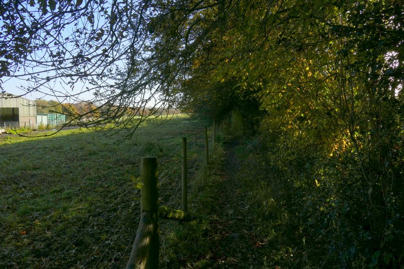
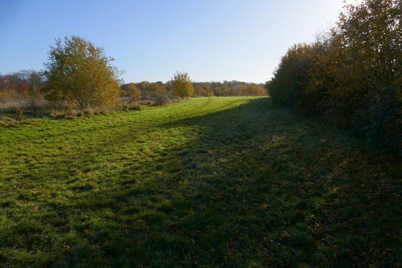
I had to make my way through some unpleasant smoke as I followed the path past 'the works'. Where a brick building looked as if it would block the path, I turned left along a path following the edge of a field on my left. At the end of the path I turned right along a track past a house on the corner, but just after the house I turned left along a bridleway. This ran between tall hedgerows for about a quarter of a mile to reach a track called Hawridge Lane. Across this a footpath continued, beside some enclosures on my left containing some pigs. The path then continued through a large pasture containing some Jacob's Sheep (previously it has always had a number of different animals in it). In the field corner I turned left alongside the fence, and when this ended I turned right, now with a hedge on my right. I soon entered another pasture, sloping down to my left - there was a pleasant view along the valley here. On reaching the corner of this field, I went half-right across a very large and irregularly shaped meadow to reach the edge of Bellingdon (the appreciable dip in this meadow was much bigger than I remembered, probably because I usually walk this path in the opposite direction when the uphill is shorter).
The path going left from the 'Works'
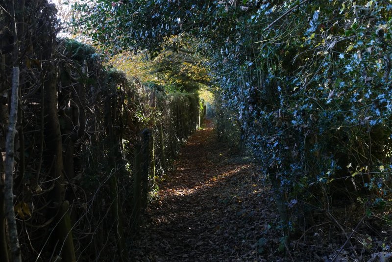
The bridleway to Hawridge Lane
The bridleway to Hawridge Lane
The path continuing past the pig enclosure
The next path, after I turned left
The same path, after it turned right
Further along the same path
The next path after I turned right, heading to Bellingdon
I turned half-left along a drive (at some point it becomes a byway according to the OS map). When it turned left, I continued straight on along a narrow footpath with a wall on my left. This soon emerged into another large meadow where I continued straight on, following a hedge on my right and with Ramscoat Wood on the other side of the meadow. At the end of the meadow I carried on along a track, with garden fences on my right and various small enclosures to my left - after about a third of a mile this brought me to a road on the edge of Great Hivings (north of Chesham).
The drive or byway at Bellingdon
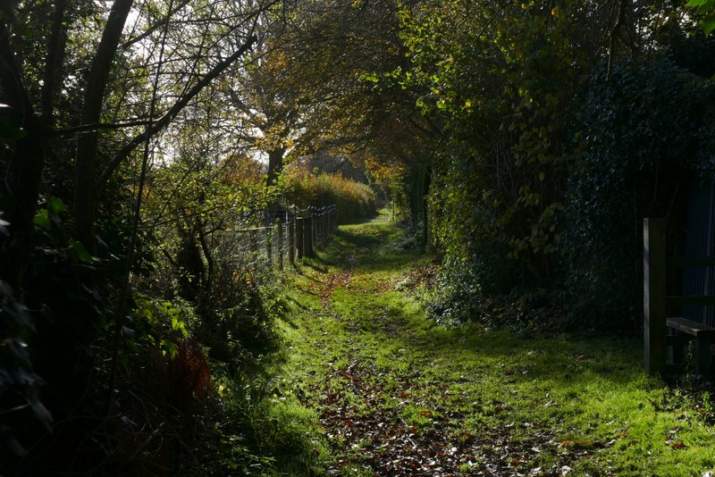
The path continuing towards Great Hivings
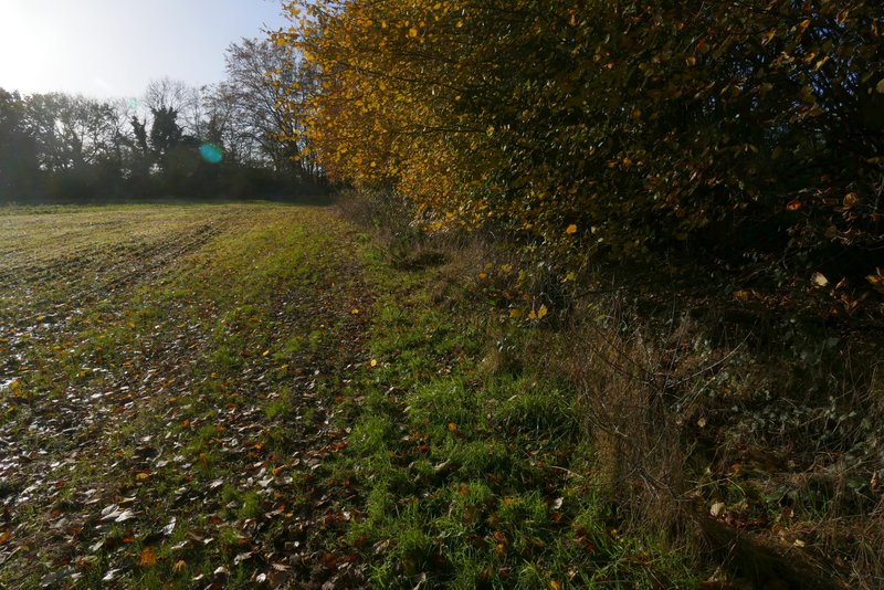
The path continuing towards Great Hivings, with Ramscoat Wood over to my left
The path continuing towards Great Hivings
The path continuing towards Great Hivings