Pete's Walks- Kensworth, Markyate, Studham, Whipsnade (page 1 of 3)
If you are considering walking this route yourself, please see my disclaimer. You may also like to see these notes about the maps and GPX files.
Google map of the walkDownload GPX file of the walk
I did this roughly 9.6 mile circular walk on Friday, 8th December 2023. It was a repeat of a walk I first did in March 2013 and which I have repeated once or twice since. It was a local walk from my home in Kensworth, going through Markyate, Studham and Whipsnade. The route is just a shortened version of my Kensworth and Everywhere walk (in the clockwise direction).
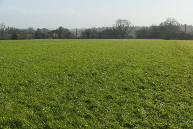
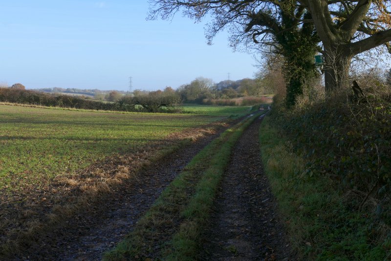
It was about 11.20am when I started walking from my home in Kensworth (I'd had a few jobs to do first), heading out of the village along the road to Whipsnade. After a quarter of a mile or so, I turned left (through a metal kissing-gate next to a farm gate) onto a footpath. This crossed a large empty pasture (it sometimes has sheep in it) and then followed a track beside a meadow to reach Dovehouse Lane, where I turned right. The lane soon headed downhill to a valley bottom, where it ended at a junction with Buckwood Lane. I went a few yards right, then took a path on the other side of the lane (as I'd already guessed, this was very muddy here - the muddiest bit of the whole route). After a few yards I went left at a path crossroads, and passed the bottoms of some gardens in Holywell as the path went up the other side of the valley. It soon levelled out, still with gardens on my right.
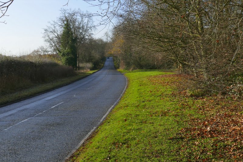
Leaving Kensworth along the Whipsnade Road
The path from Whipsnade Road to Dovehouse Lane
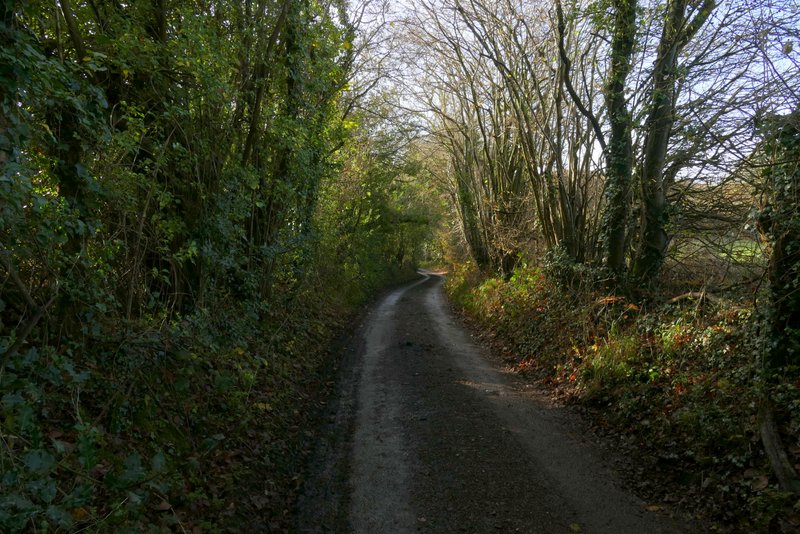
Dovehouse Lane
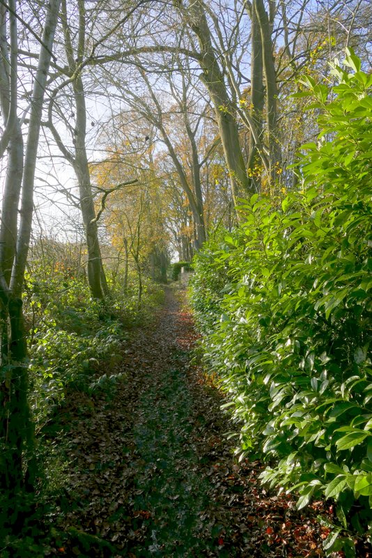
The path from Buckwood Lane past the gardens of part of Holywell
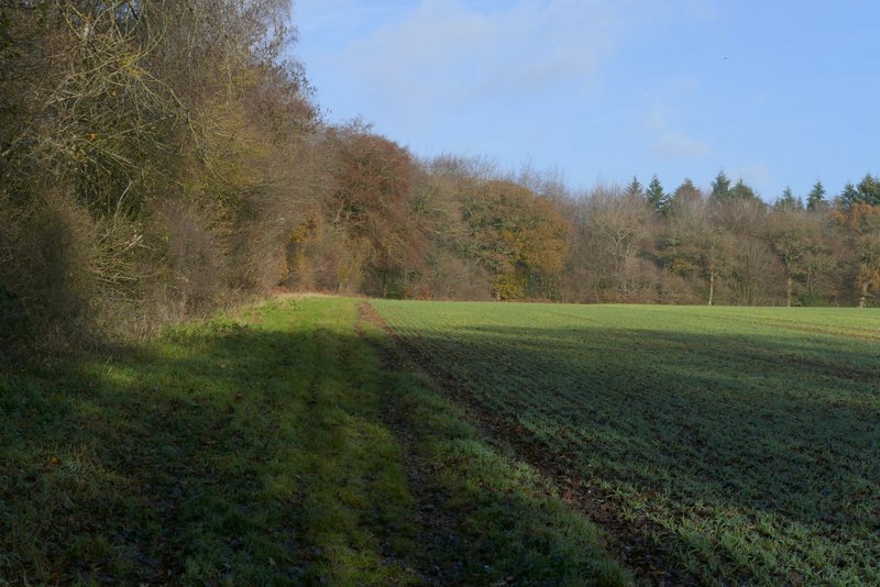
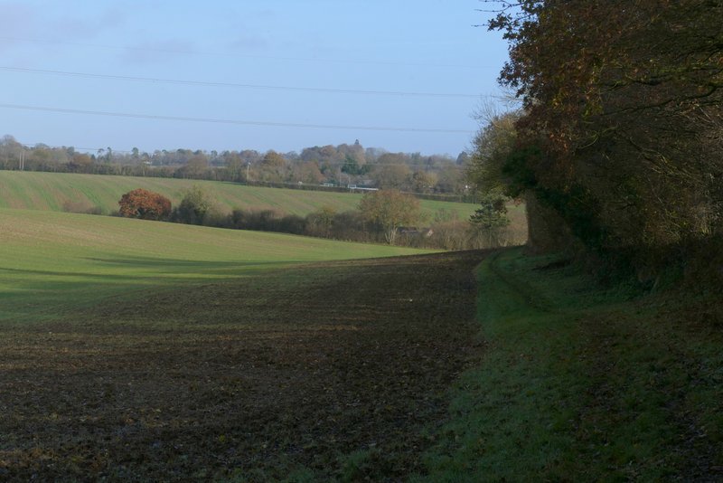
I then turned left into a small wood. Beyond the wood the path crossed a huge field. The path passed another small wood on my left and then a solitary tree, before reaching Byslips Road. I went a short way left, then took a footpath on the other side - this followed an edge of Byslip Wood, initially with a garden on my right. On reaching the corner of the wood, I turned left on a path that followed the curving edge of the wood, with another huge field on my right. Somewhere along here the wood changed to Fareless Wood.
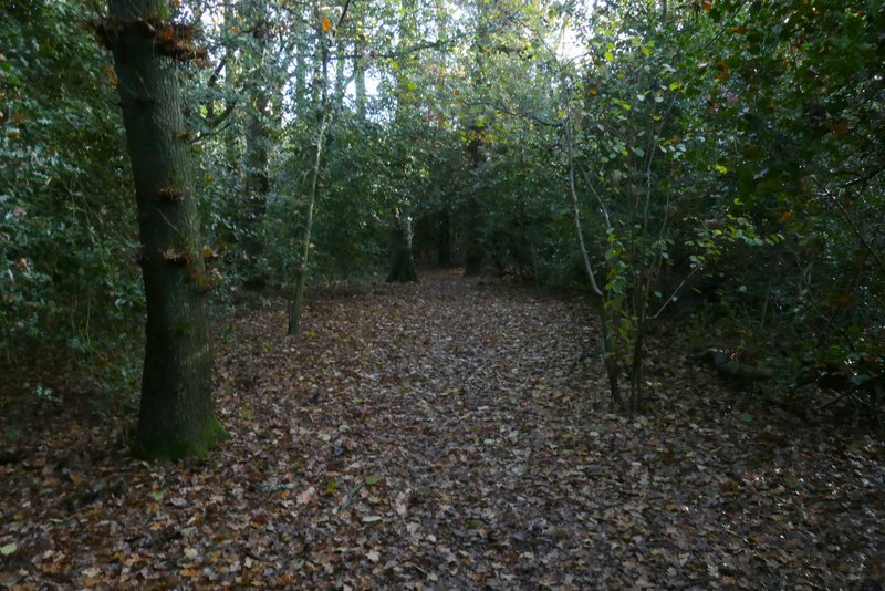
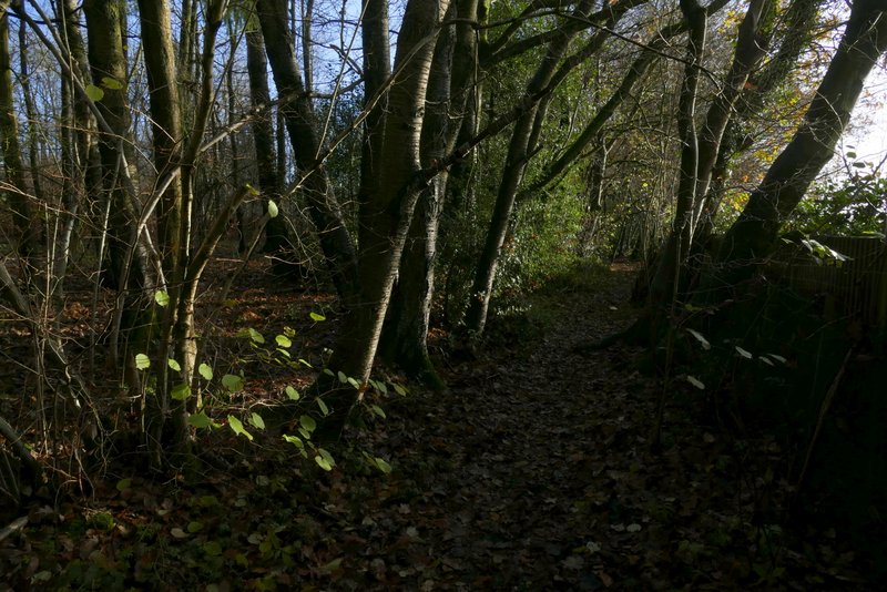
The small wood at Holywell
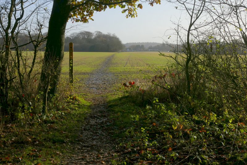
The path from Holywell to Byslips Road, leaving the small wood
The path from Holywell to Byslips Road
The path from Holywell to Byslips Road
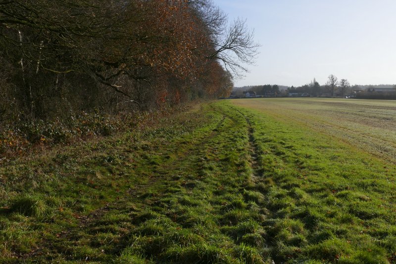
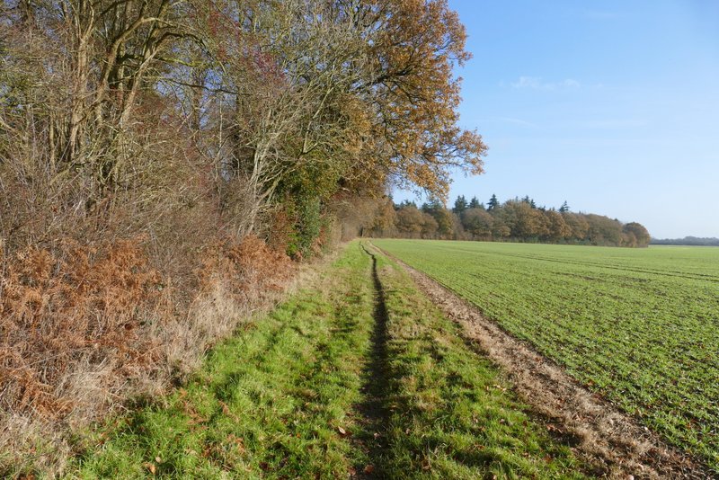
The path on the edge of Byslip Wood
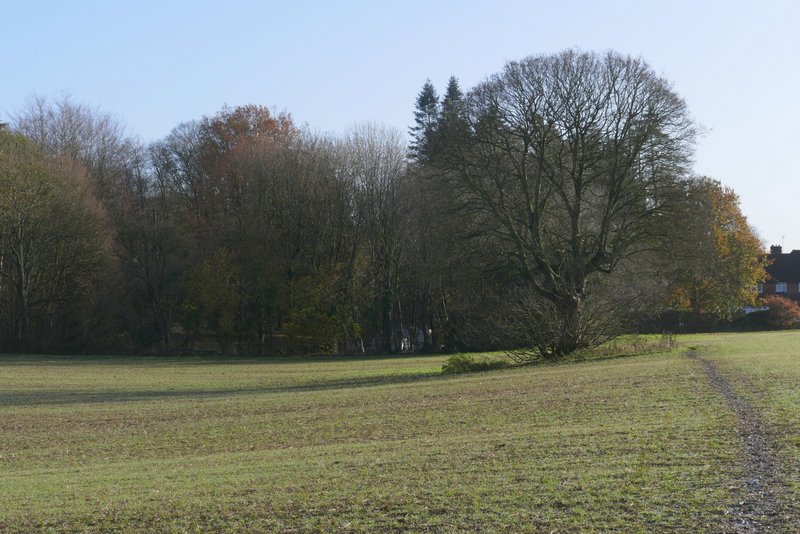
The long path along Byslip and Fareless woods
The long path along Byslip and Fareless woods
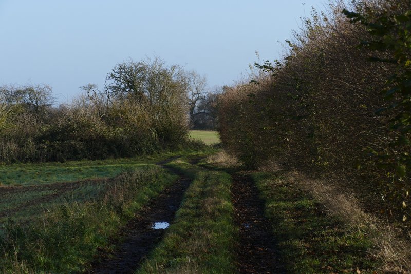
Beyond the woods, the path passed the farm buildings at Buckwood Stubbs (Buckwood was once a detached portion of the parish of Houghton Regis, which is several miles away on the other side of Dunstable - the name Buckwood only seems to occur in the name of these farm buildings and in Buckwood Road/Lane). The path continued along a farm track, until that turned right. The path then continued ahead, with a hedge on my right. On coming to a field corner I went straight on through a gate, and continued along the path as it very gently descended beside a huge field. At the end of the field I went through another gate, the path then continuing through a tunnel of overhanging hedgerows to reach Buckwood Road. I turned right and soon reached the edge of Markyate.
The path continuing towards Markyate
The path continuing towards Markyate (shortly before the track turned right and I continued beside a hedgerow on my right)
The path continuing towards Markyate
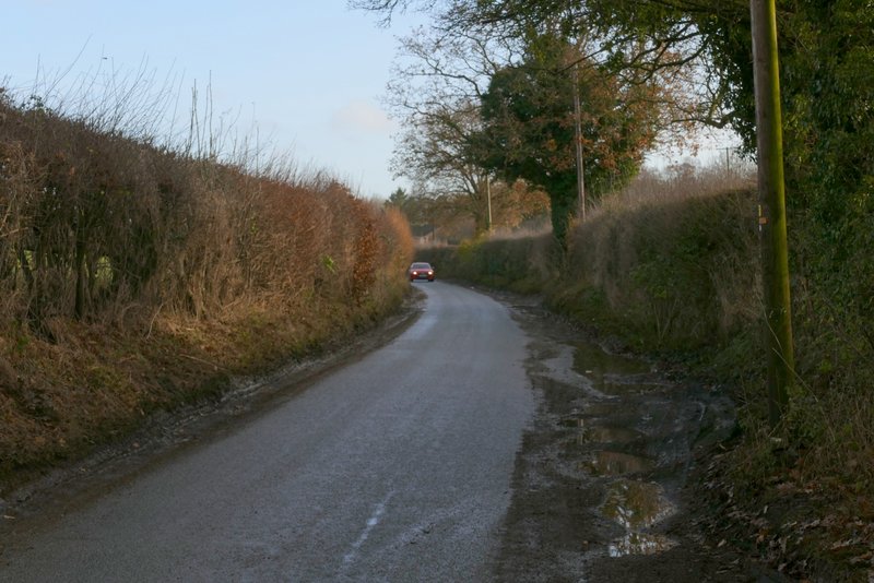
Buckwood Road approaching Markyate