Pete's Walks- Amersham Old Town and Knotty Green (page 1 of 4)
If you are considering walking this route yourself, please see my disclaimer. You may also like to see these notes about the maps and GPX files.
Google map of the walkDownload GPX file of the walk
I did this circular walk of about 10.2 miles on Tuesday, December 26th, 2023 (Boxing Day). It was a repeat of a walk I did in January 2016 - most of the route was on paths I've used on other routes with just one bridleway (in Great Beard's Wood) that I was walking for only the second time.
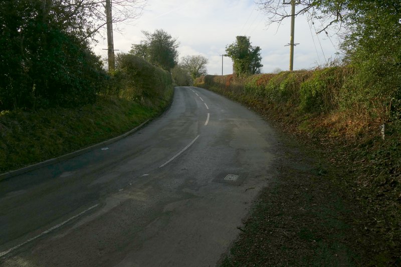
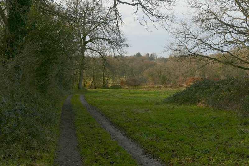
I started walking about 9.55, having parked in the car park in Amersham Old Town (Grid Reference SU 960974) - the car park is free of charge on Sundays and Bank Holidays. I turned right along the main street through Amersham Old Town, but soon turned left into Whielden Street. After one or two hundred yards I turned left again into Whielden Green, then after about a hundred yards I turned right onto a path through an old and overgrown meadow. Just past the end of a hedgerow on my left, I joined a paved path. I followed this for a few yards (next to the meadow on my right) then turned right on a similar path (running along the end of the meadow). After going over a footbridge over the A413, I turned right onto a footpath.
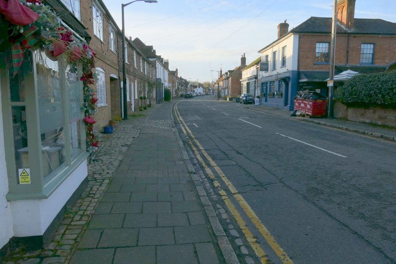
Whielden Street, Amersham Old Town
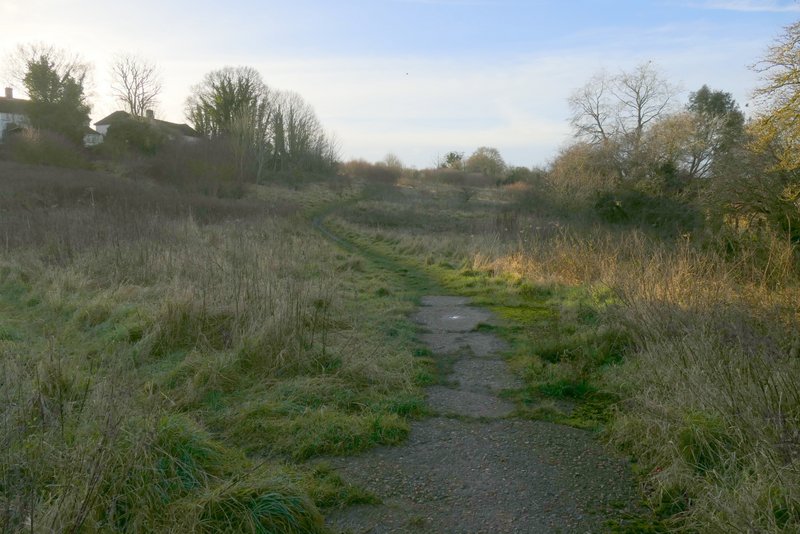
The start of the path from Whielden Green
The path from Whielden Green - I turned right a short way along here
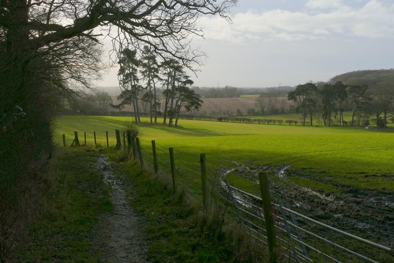
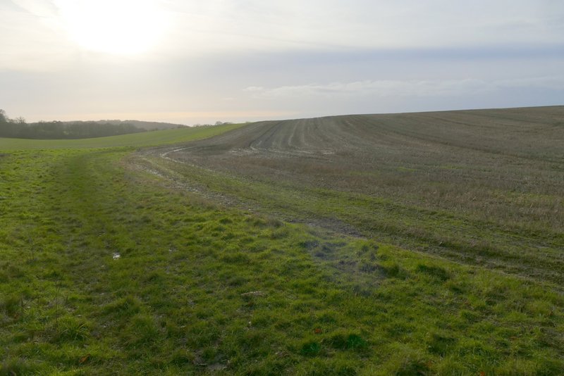
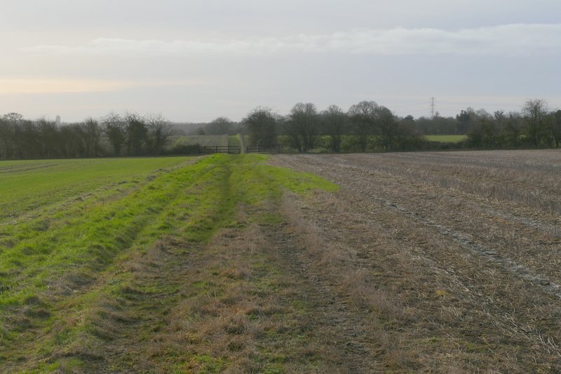
There were initially gardens on my left, but soon the path was following a ditch along the bottom of a very shallow valley, with huge arable fields either side. The path was rising very gradually uphill. Further on a hedgerow appeared on the left. The OS map shows that the footpath should turn right by a waymark on a post to a small embankment, follow the bottom of the embankment (though the obvious path here actually runs along the top) and then come back across the field. There had been no sign of this path in 2016, so I simply continued along the field edge (there were no waymarks or other indications). Beyond the field, the path ran between hedges a short way (more steeply uphill now) to reach a minor road near Coleshill.
Near the start of the path from Amersham Old Town to Coleshill
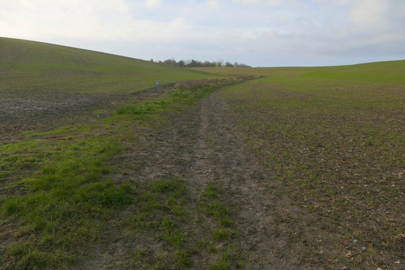
The path from Amersham Old Town to Coleshill
The path from Amersham Old Town to Coleshill
The path from Amersham Old Town to Coleshill
The path from Amersham Old Town to Coleshill
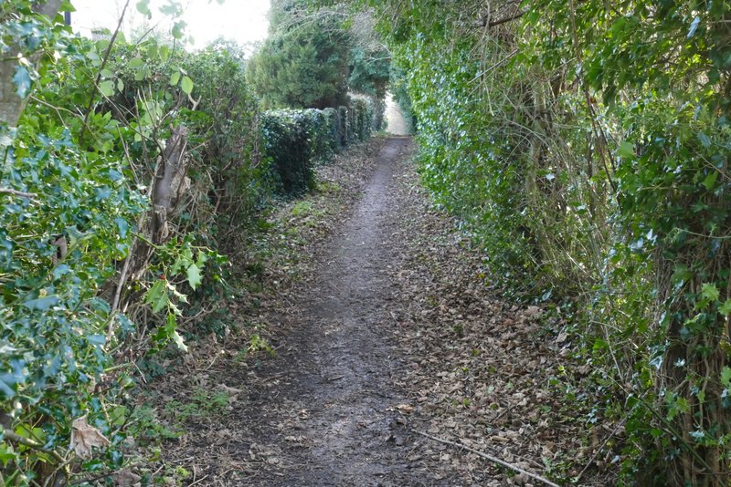
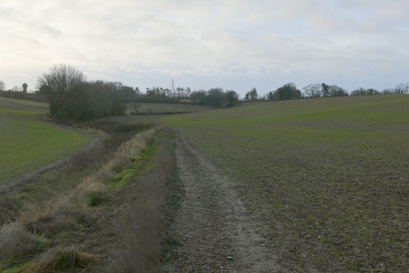
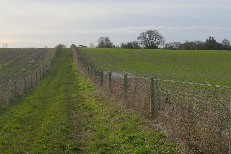
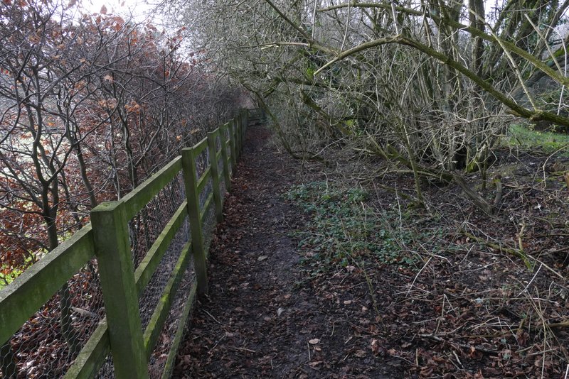
I turned right along the road (it turned here, so I was actually going more or less straight on). When it turned right, I took a footpath going straight on. This followed the left edge of a small paddock or meadow, then continued for some distance between a hedgerow and a fence on my right - the path was very muddy in places here, as it had been when I was here in January 2016. The path continued on along a grass headland between arable fields, with the A355 across the field on my left. At the second crossing hedgerow I turned right behind the hedge, then left in the field corner, the path then soon running past a garden on the left and ending at a minor road
The short road section at Coleshill
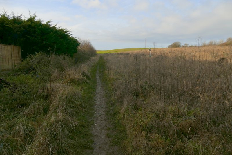
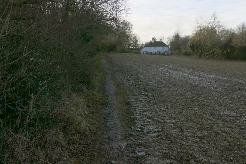
The path going south from Coleshill
The path going south from Coleshill
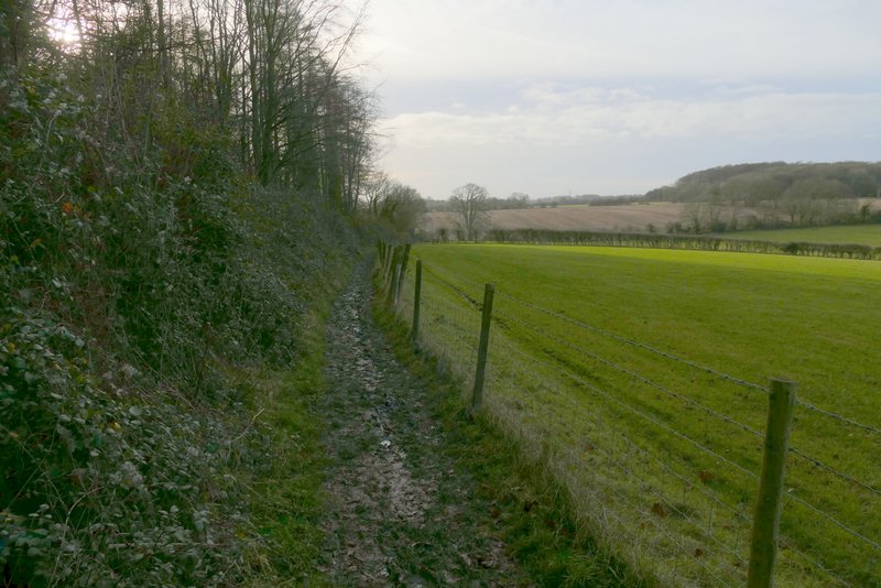
The path going south from Coleshill
The path going south from Coleshill
The path going south from Coleshill
The path going south from Coleshill - I turned right behind the hedgerow (before reaching Bowers Farm, which is where the path is heading towards)
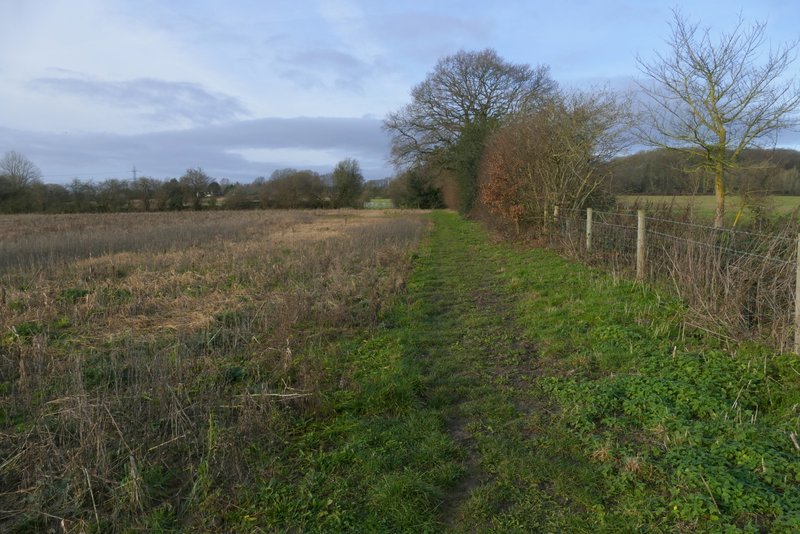
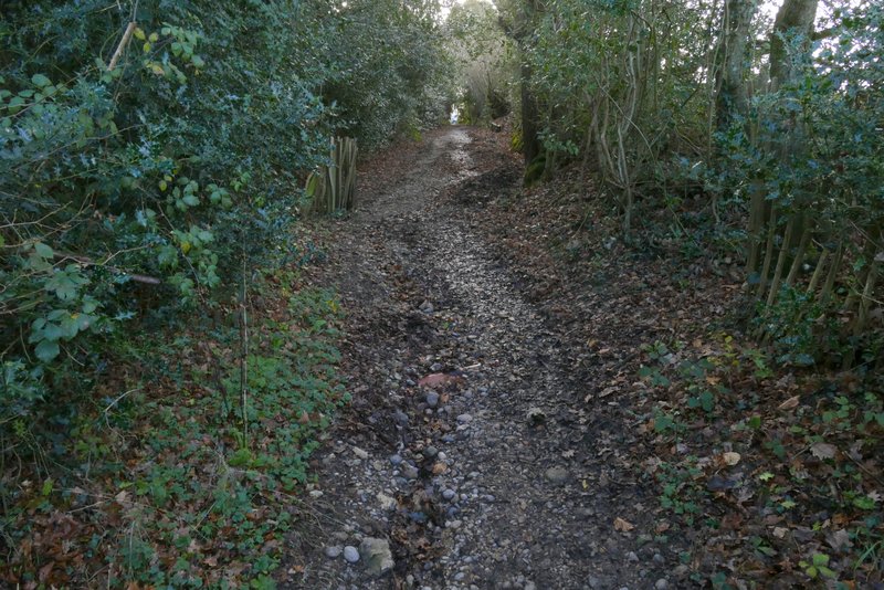
This is where I turned right, the path then going left in the field corner
Further along the same path, shortly before it reaches a minor road