Pete's Walks - Wigginton and Wendover Woods (page 2 of 4)
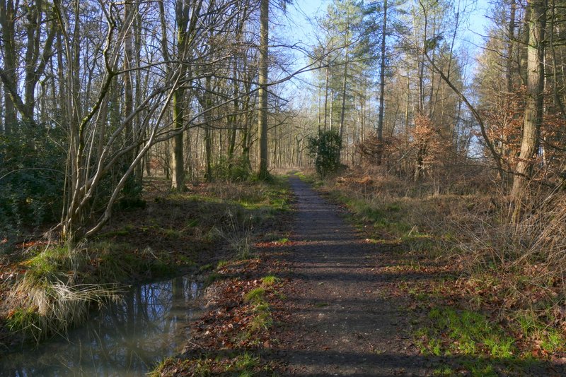
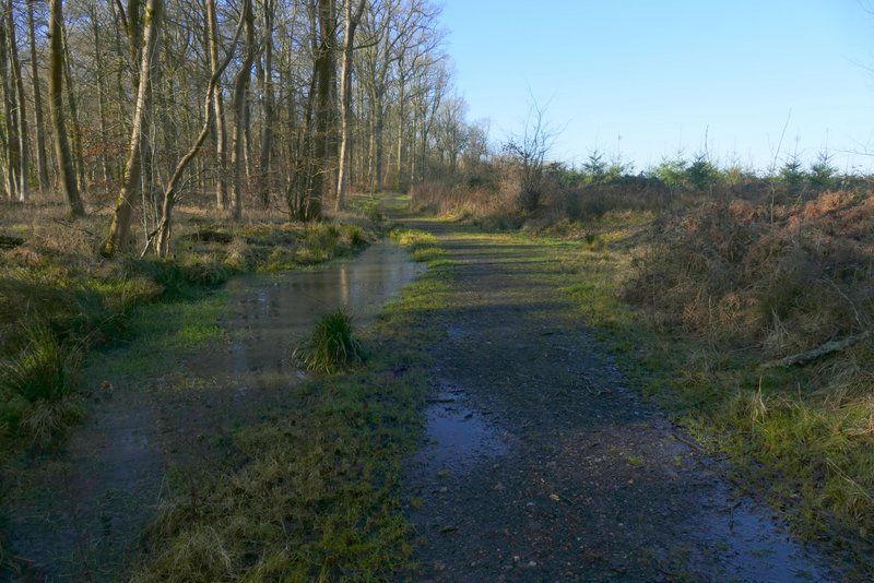
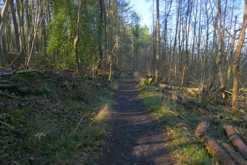
At one point there were views out to the neighbouring fields on either side. Beyond Baldwin's Wood the path finally emerged into the corner of a field, where it went right for a few yards to enter another tree belt. Here it turned left to continue southwest-wards once more, through the tree belt to reach another wood (the nearest name on the OS map is Barn Wood). After a while the path turned left by a waymark post, finally leaving Grim's Ditch, and ended at a path T-junction. Here I turned right (now definitely in Barn Wood), the path following a broad track through the wood. After a few hundred yards I reached an area where the wood on my right had been felled a few years ago. Not long after the end of the felled section, the path turned right from the track and dropped down through the trees a short distance to join a section of the Ridgeway National Trail.
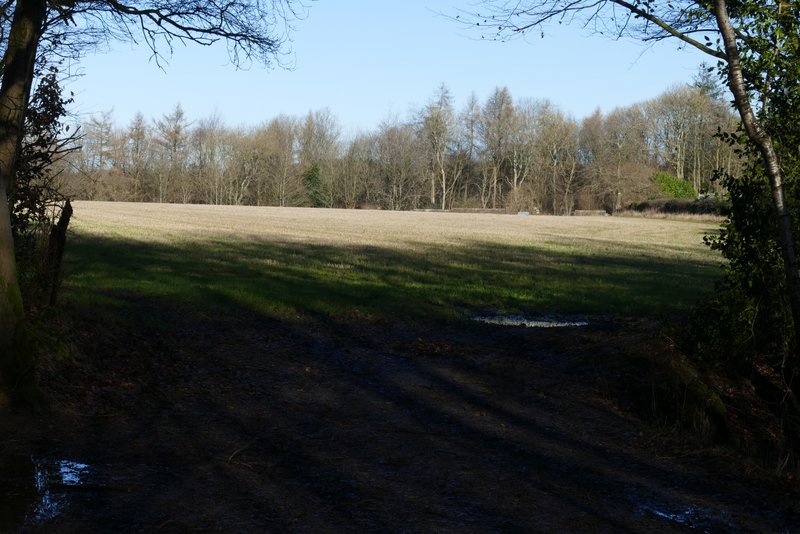
View right from Baldwin's Wood
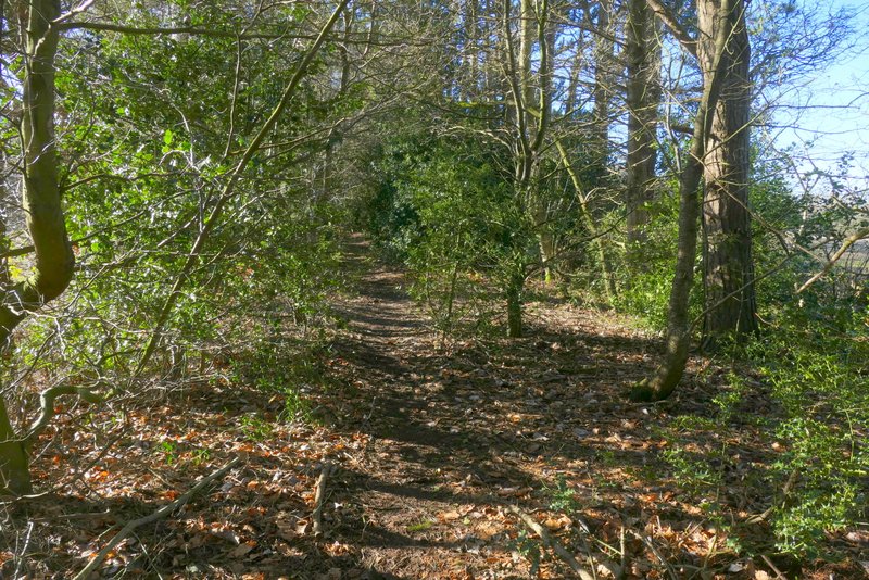
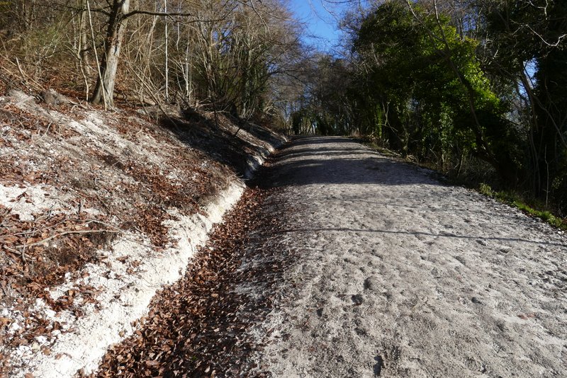
The narrow tree belt leading to Barn Wood
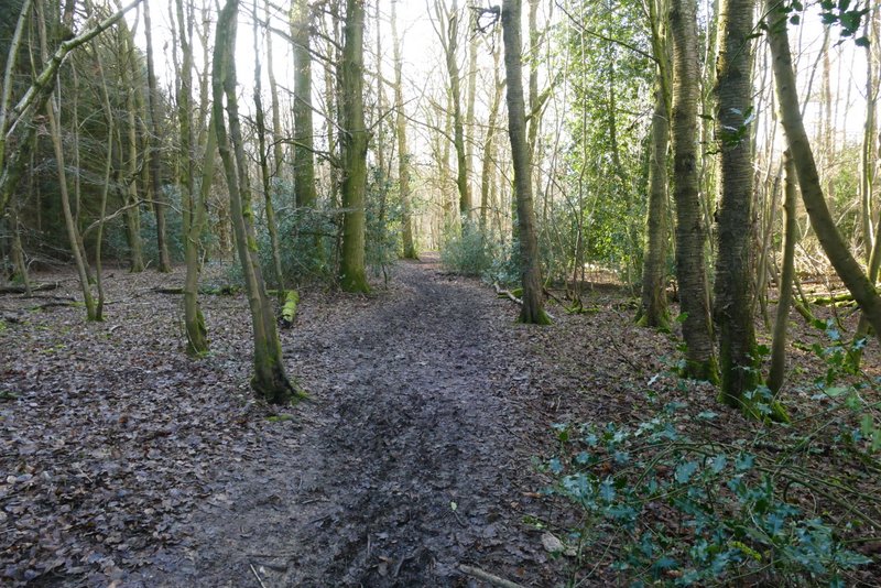
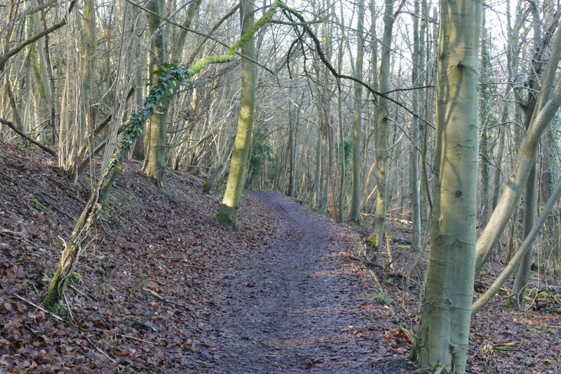
The footpath through Barn Wood
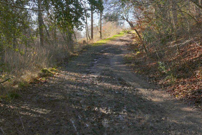
The footpath through Barn Wood, where a section of the wood has been clear-felled
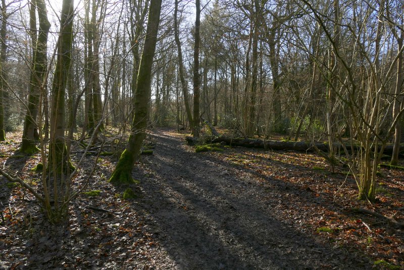
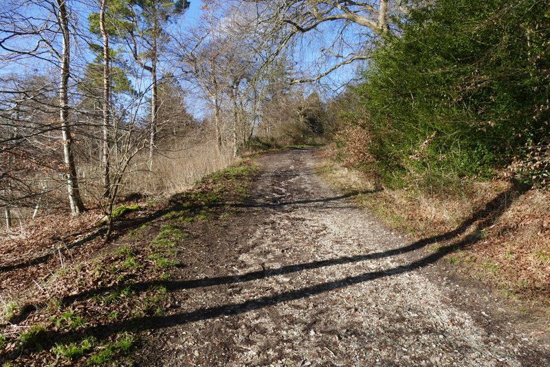
The footpath after I turned left in Barn Wood
The footpath after I turned left in Barn Wood, where a section of the wood has been clear-felled
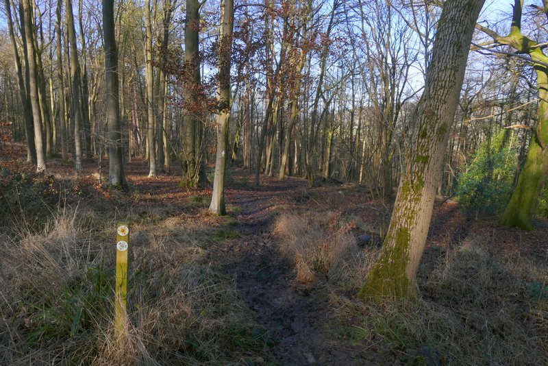
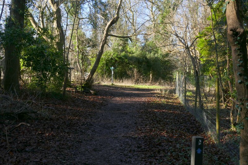
Where the path turns right and drops down to meet The Ridgeway
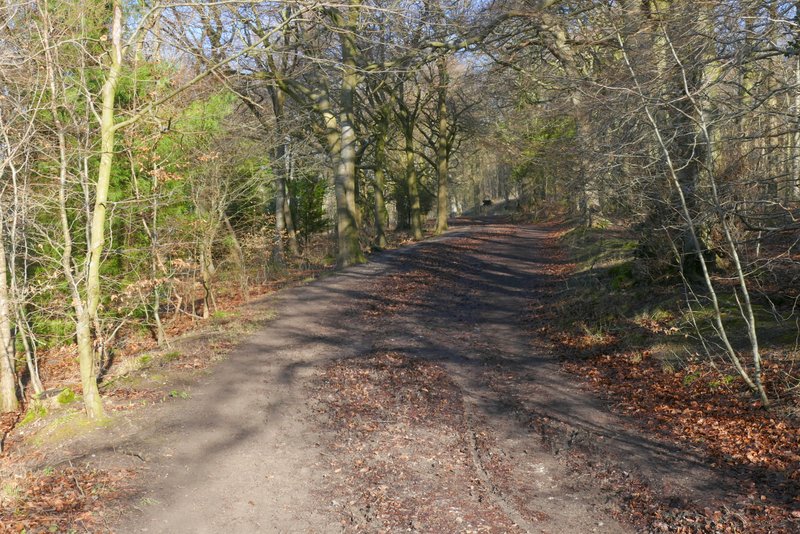
I turned left, and followed the Ridgeway as it gradually descended through the trees of Barn Wood. It turned left at the bottom of the slope, to reach a bridleway junction a hundred yards further on. Here I turned right, on to a track called Hogtrough Lane, soon passing Boswells Farm on my right. I followed Hogtrough Lane for over half a mile, as it gently descended between hedgerows to eventually end on the edge of Wendover.
The Ridgeway National Trail through Barn Wood
The Ridgeway National Trail through Barn Wood
The Ridgeway National Trail reaching the end of Barn Wood, where I turned right
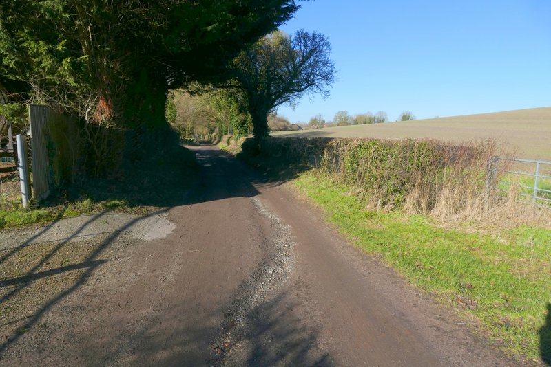
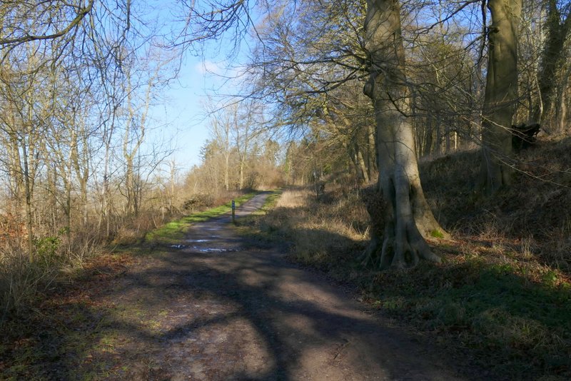
I followed a residential street on the edge of the village right for a little way, then turned right again, heading back into the countryside along Hale Lane, with the wooded slopes of Boddington Hill ahead on the left. A little way after the lane reached the woods on my left, a track started off half-left, soon merging with another track where I continued straight on. I made my way uphill along the track, fairly soon coming to a junction where I turned left onto another track (shown on the OS map, though not marked as a public right of way - however all of Wendover Woods are an open access area). This track climbed gently round Boddington hill, gradually curving right. As I reached the top of the hill, there was an embankment in the trees on my right, presumably the Iron Age Hill-fort shown on the map. The track then continued along the top of a steep wooded slope on my left, heading northeast and then north, towards the visitor centre in the middle of Wendover Woods.
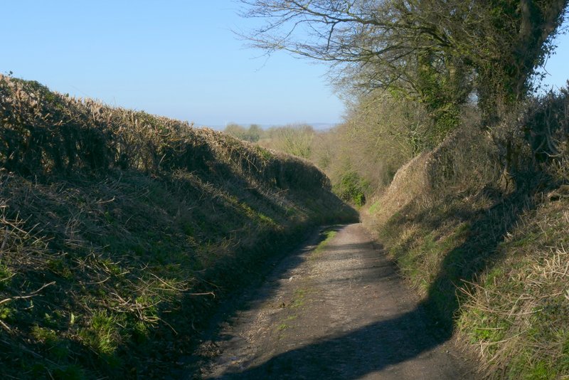
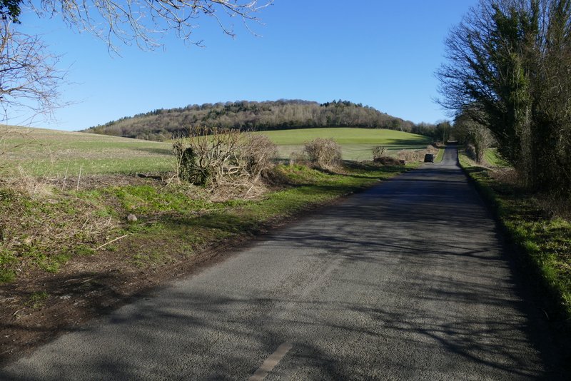
Hogtrough Lane
Hogtrough Lane
Hale Lane, Boddington Hill on the left
The path up Boddington Hill
The path up Boddington Hill, immediately after I turned left
The path up Boddington Hill
The path up Boddington Hill
The path up Boddington Hill
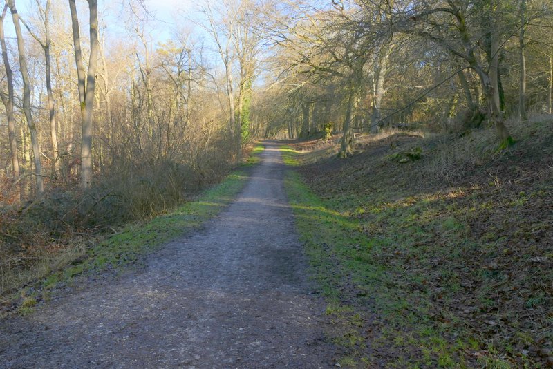
The path up Boddington Hill