Pete's Walks - Coombe Hill and Prestwood (page 1 of 4)
If you are considering walking this route yourself, please see my disclaimer. You may also like to see these notes about the maps and GPX files.
I did this circular walk of about 10.3 miles on Monday, 17th February 2025. It was a repeat of a walk I did in January 2024 (that walk was a slight variation of a previous walk, so I used Alternative 1 on my google map). But this time I made an additional slight variation that enabled me to visit the John Hampden monument (shown as Alternative 2 on my google map). 'Coombe Hill and Prestwood' is a bit of a misnomer for this route, as I never visited the top of Coombe Hill and didn't actually enter Prestwood, the nearest I got to it was the nearby Pepperboxes Wood.
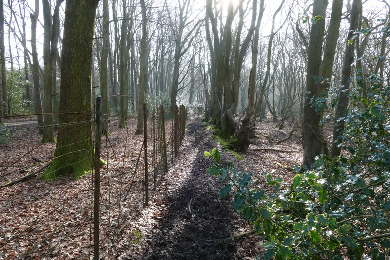
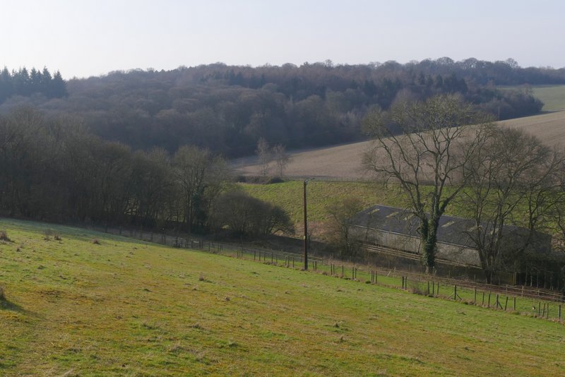
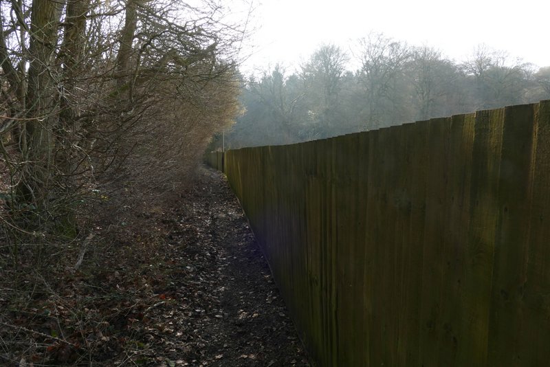
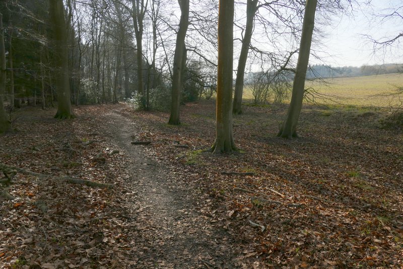
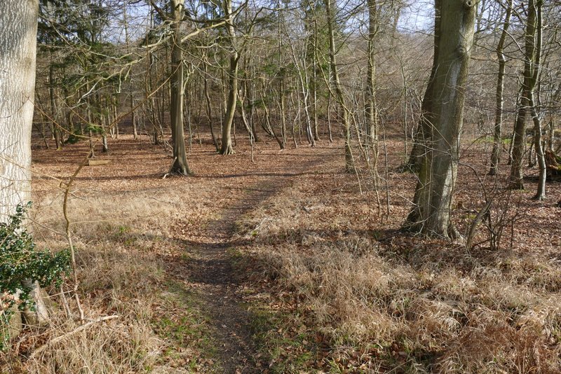
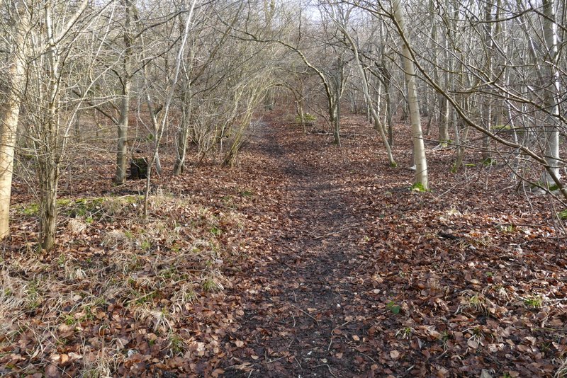
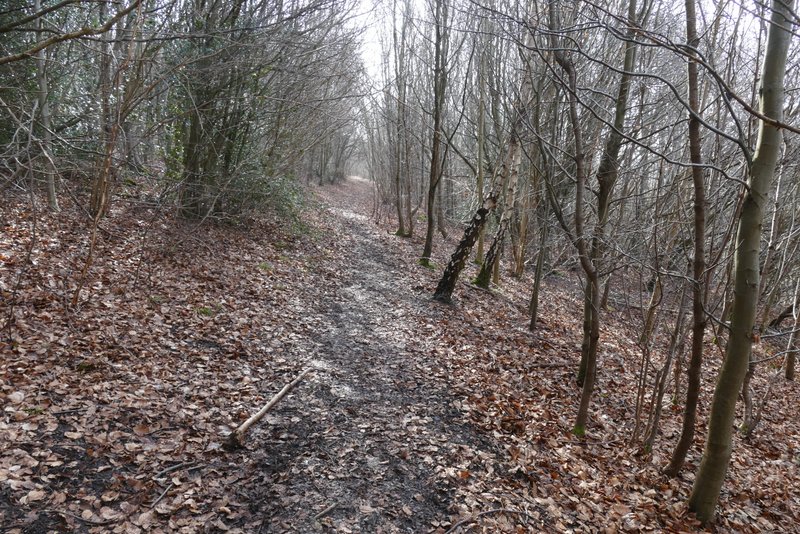
I parked at the Coombe Hill car park (Grid Reference SP 852063), and started walking at about 9:55am. The temperature was only 1°C or 2°C, and there was a frost on the ground (and some ice-covered puddles). At the entrance to the car park, facing the road, I turned left along a path into the woods that I'd only walked a few times before. After a few hundred yards, I reached a path junction (with waymarks on a post) where I turned right, and continued through Low Scrubs (the name of this part of the wood) for a few hundred yards, briefly going through a more open area before re-entering the trees. I then turned left onto another path through the wood (there was no sign or waymark here, but the path was reasonably obvious) and followed it until it ended at a bridleway running alongside an iron fence. I turned right and followed the bridleway for about half a mile to reach the hamlet of Dunsmore.
The start of the path from the Coombe Hill car park, entering Low Scrubs
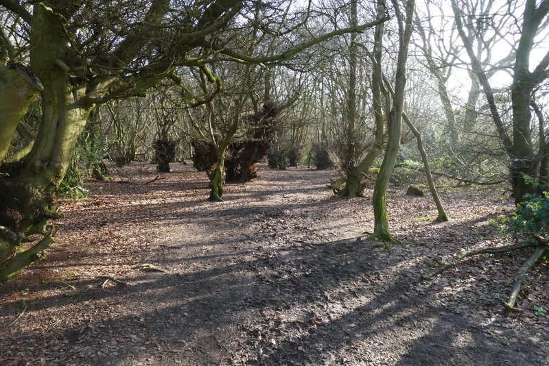
The path through Low Scrubs, after I turned right
Further along the path through Low Scrubs
The path through Low Scrubs, after I turned left
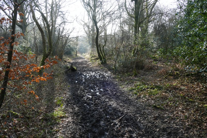
The bridleway to Dunsmore
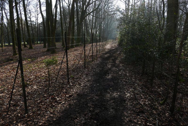
The bridleway to Dunsmore
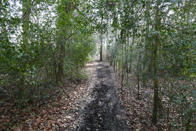
The bridleway to Dunsmore
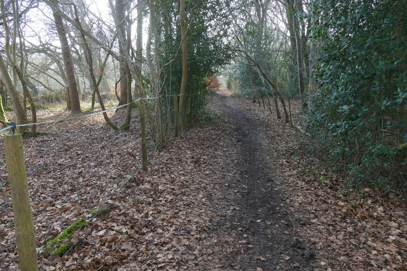
The bridleway to Dunsmore
I turned right at the lane junction in the centre of Dunsmore by the chapel and duck pond. After a hundred yards or so I turned left over a stile, and took the leftmost of two paths through a grassy pasture that sloped down to my right. On the other side of this pasture I went over another stile and crossed another pasture, dropping downhill to a third stile. Over this, the path continued through a small enclosure. Beyond this, in the valley bottom, I turned left along a bridleway coming from Dunsmore Old Farm. I soon came to a crossing bridleway (going right would have taken me to Little Hampden), where I continued ahead on what was now a footpath, running through Hampdenleaf Wood (I'd only used this path a few times before).
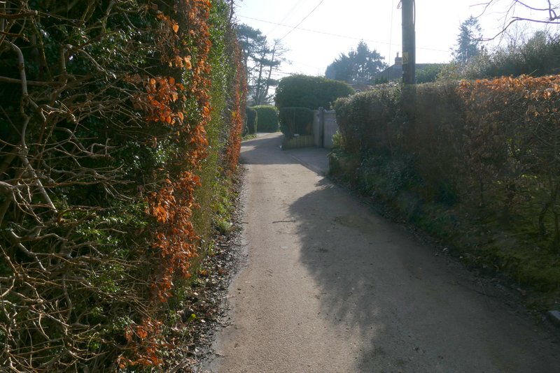
The lane through Dunsmore
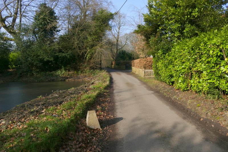
The lane through Dunsmore after I turned right
The path after going over a stile at Dunsmore - I took the left fork here, not the right fork that follows the fence
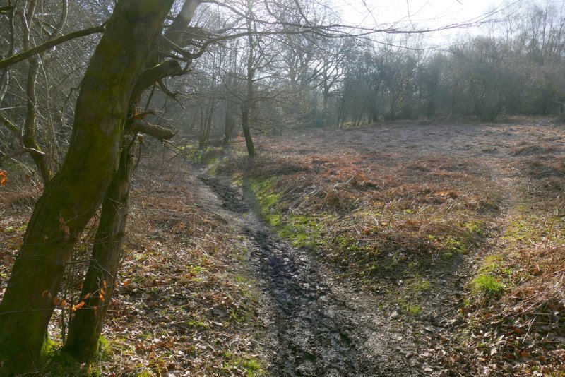
The path from Dunsmore dropping into a valley near Dunsmore Old Farm
The path from Dunsmore dropping into a valley near Dunsmore Old Farm
The footpath along the valley after I turned left
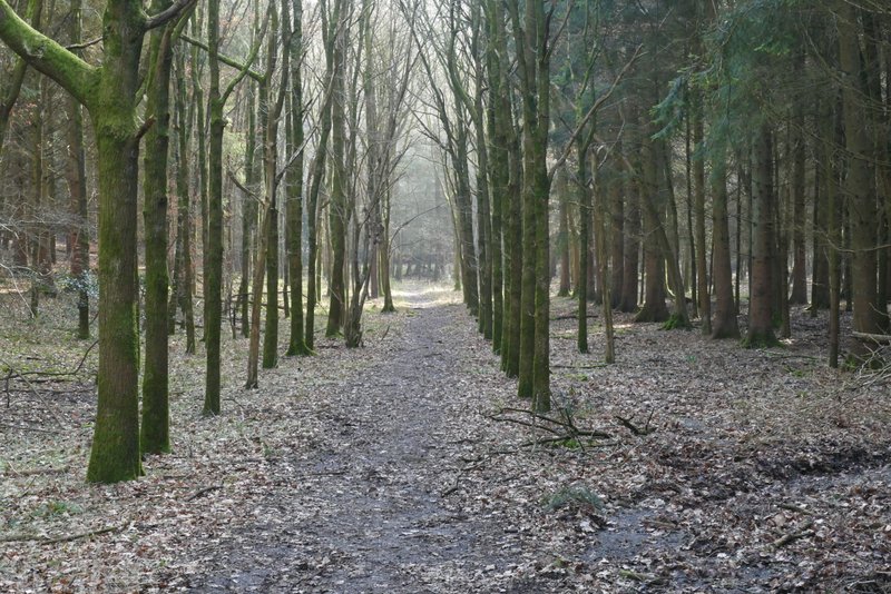
Hampdenleaf Wood
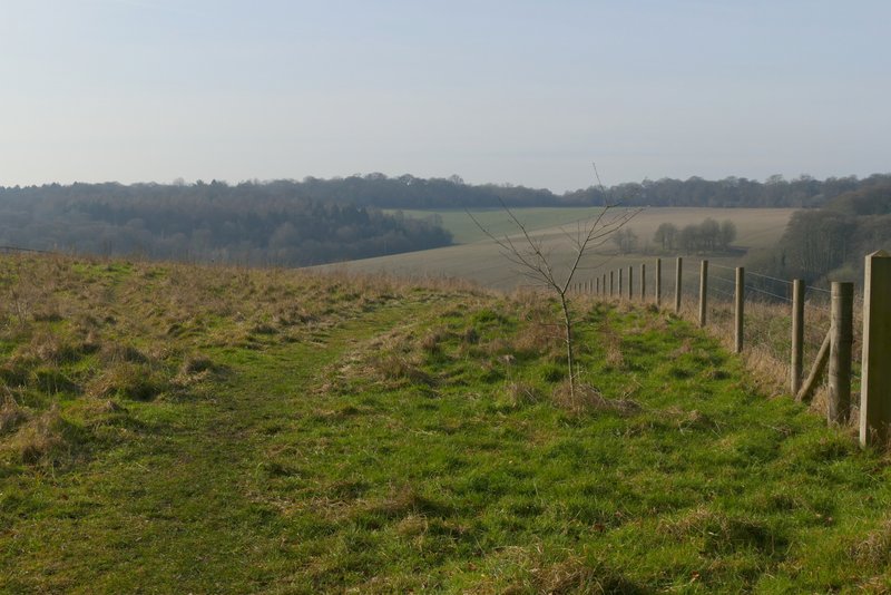
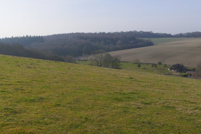
After a few hundred yards the path merged with a broader path or track coming in from the right, and continued on close to the edge of the wood on my right. When I then reached a path junction in a corner of the wood, I turned left (back on a more familiar path) and followed the path uphill through more of the wood. On reaching a path crossroads not far below the top of the slope, I turned right and continued through still more of Hampdenleaf Wood (I'd only walked this path a few times before as well).
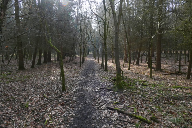
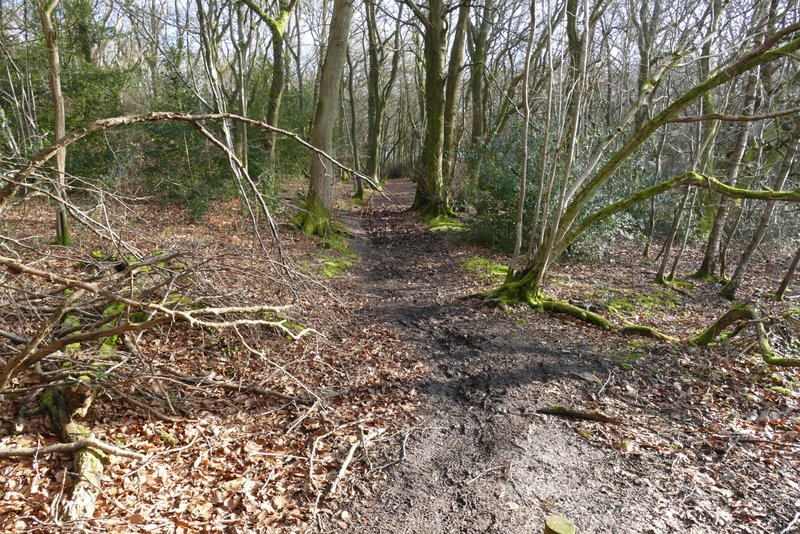
The footpath continuing through Hampdenleaf Wood
The footpath continuing through Hampdenleaf Wood
The footpath through Hampdenleaf Wood, immediately after I turned left at a path T-junction
The footpath continuing uphill through Hampdenleaf Wood
The footpath through Hampdenleaf Wood after I turned right at a path crossroads