Pete's Walks - Studham Common and Trowley Bottom (page 2 of 3)
If you are considering walking this route yourself, please see my disclaimer. You may also like to see these notes about the maps and GPX files.
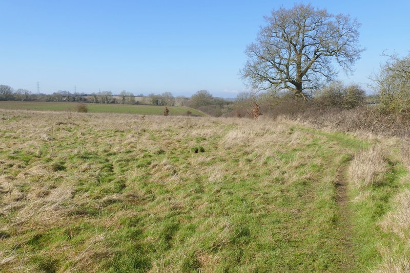
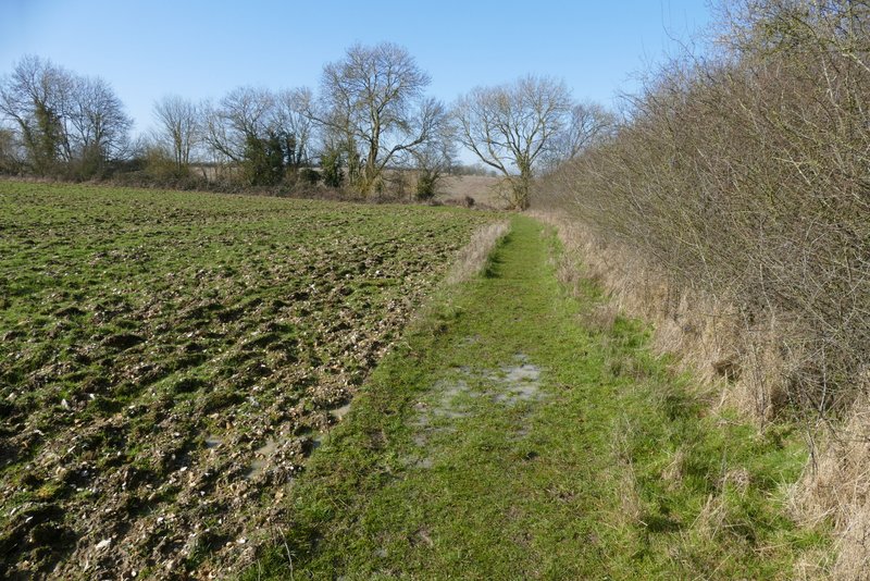
I turned right along the lane and followed it as far as a crossroads (rather unusually, Friendless Lane goes left here rather than straight on). I turned right, and followed Valley Lane down into a valley. In the valley bottom, where the lane turned right, I took a bridleway going left. After about half a mile along the valley bottom I reached the hamlet of Trowley Bottom.
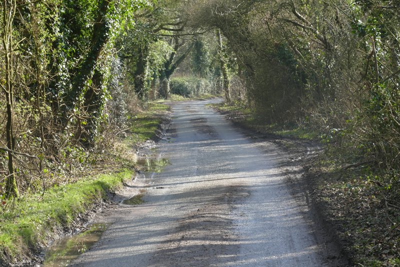
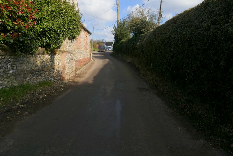
Friendless Lane
Friendless Lane
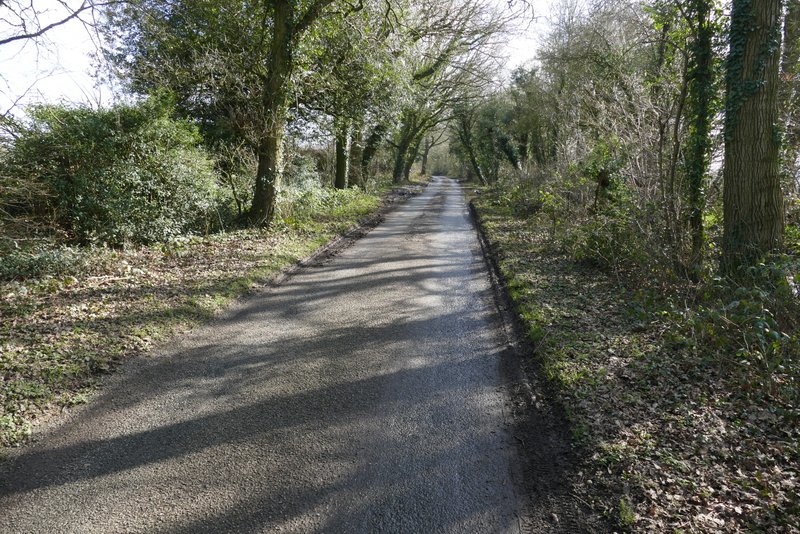
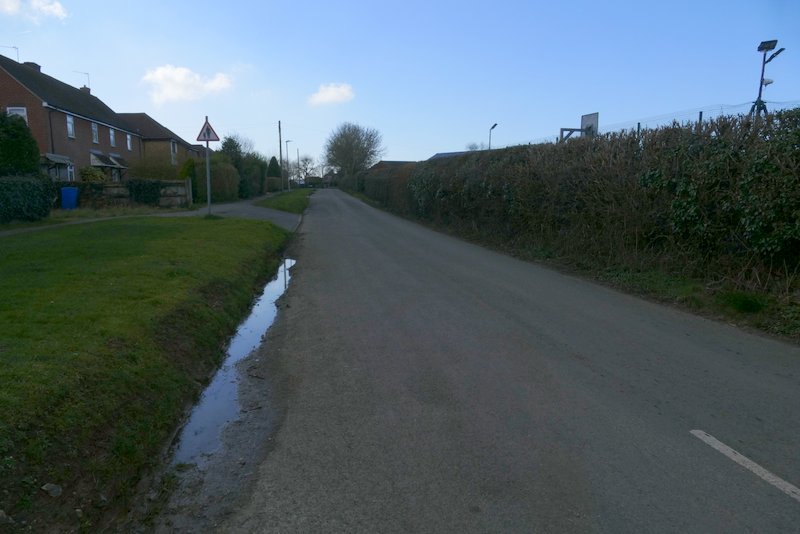
The start of Valley Lane
Valley Lane
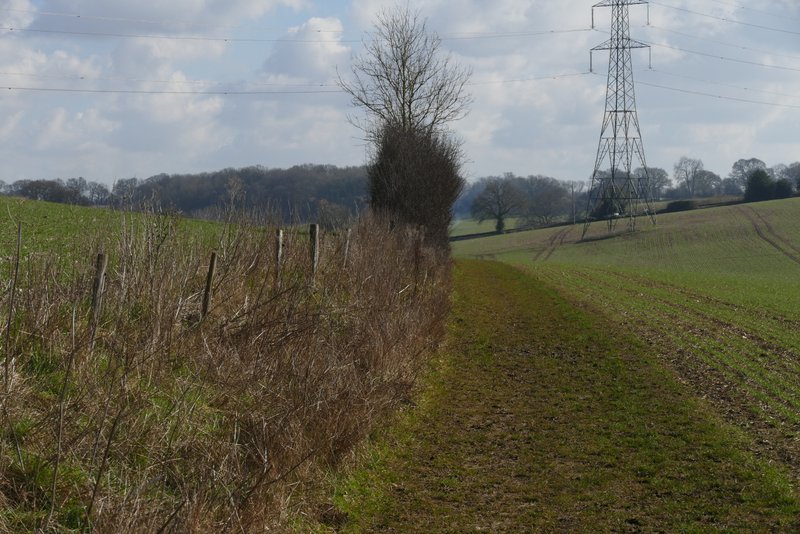
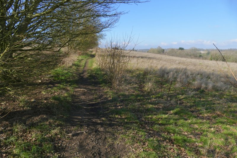
The bridleway after I turned left from Valley Lane
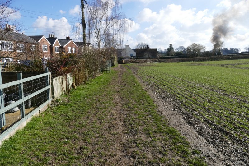
Approaching Trowley Bottom
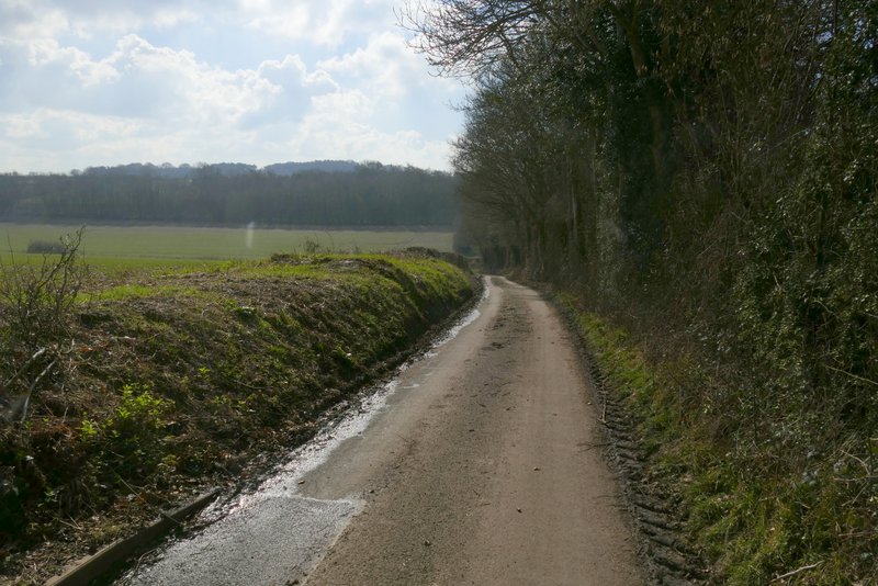
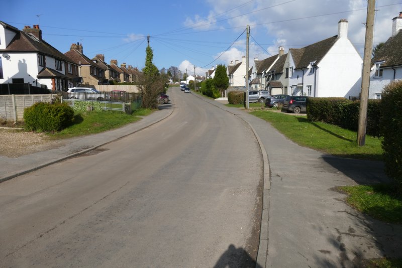
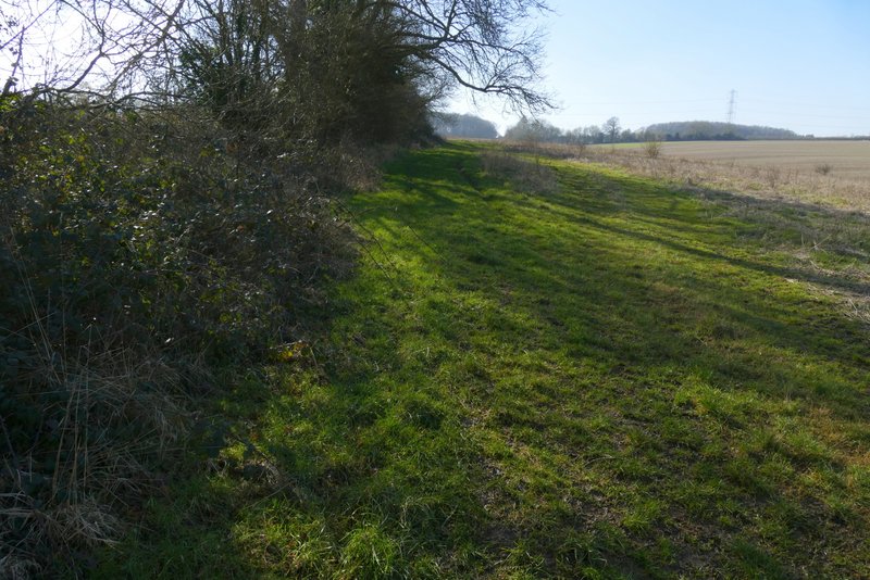
I went diagonally across a staggered crossroads, and took Trowley Hill Road, heading uphill into Flamstead. I followed the road for just over half a mile, eventually passing Flamstead church on my right, and then turned left into the other end of Friendless Lane. The lane turned right by a junction with Mill Lane, and after another hundred yards or so I took a footpath on the right (the fingerpost said it was 1.5 miles to Markyate).
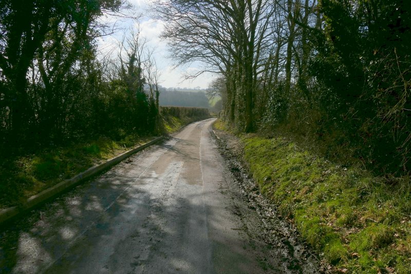
Trowley Hill Road
Trowley Hill Road
Friendless Lane, from where it starts or ends in Flamstead
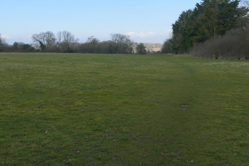
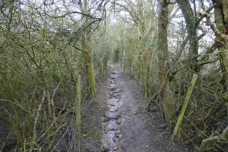
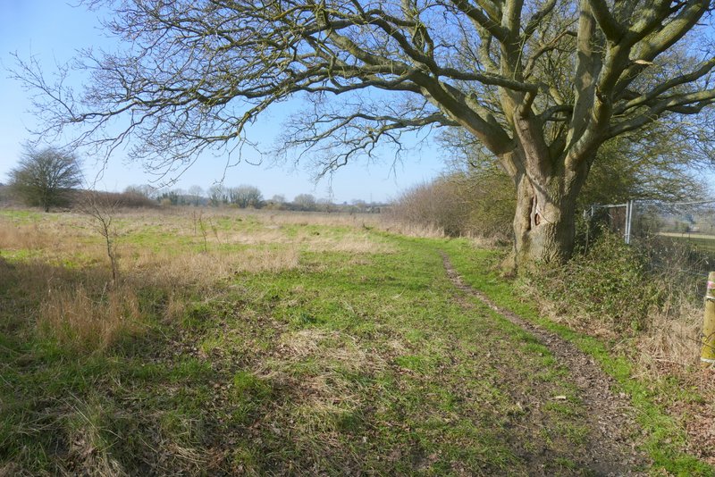
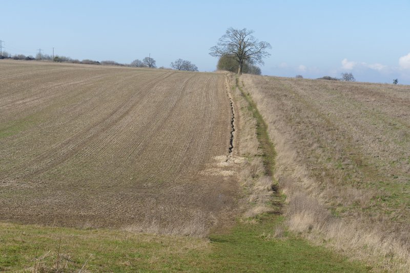
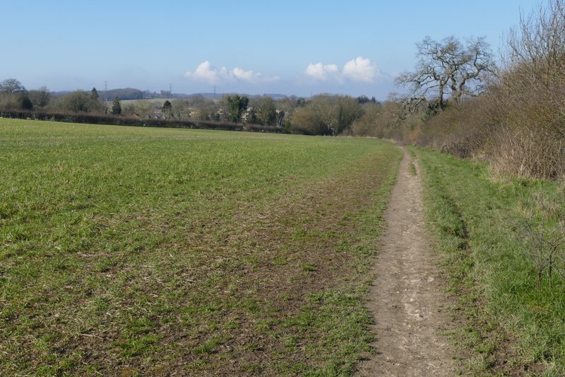
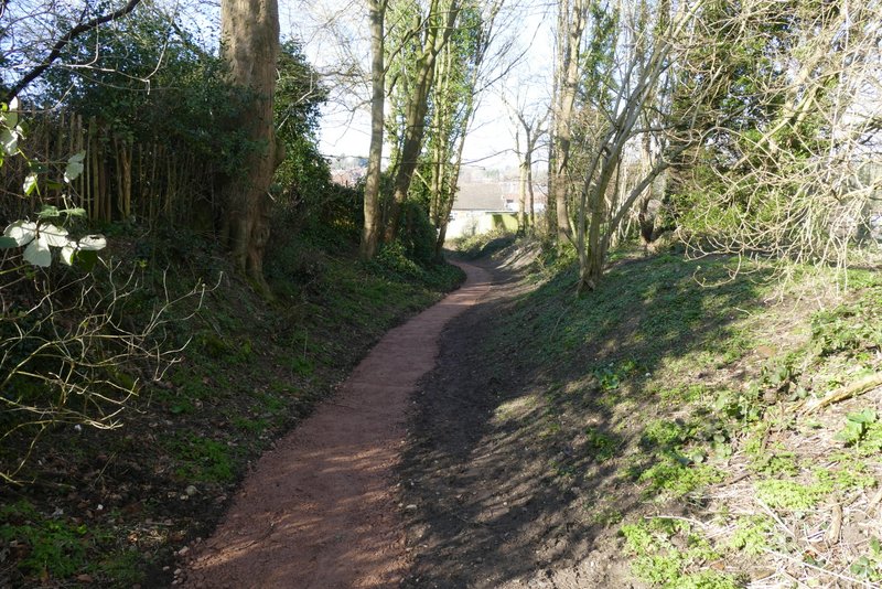
The path crossed part of a paddock, then followed a hedge on the right. In the field corner, the path turned right for a few yards and then left - it was now running between fences and overhanging hedges. I was pleased when the hedge on the left ended, and I could see out from the path on that side. A little further on I entered the corner of a large field (it sometimes has horses in it), where I went straight on, close to the hedgerow on my right. The path then continued past a smaller ploughed field, going through the hedgerow in the next field corner before turning left for a few yards. It then turned right, to follow a long headland between two very large fields for several hundred yards. After a while there was a hedge to my left, then a bit further on the path switched to the other side of the hedgerow. A few more hundred yards further on I reached a field corner, where the path had been recently resurfaced (red!) as it led into Markyate.
Start of the path to Markyate, after I turned right from Friendless Lane
The path to Markyate

The path to Markyate
The path to Markyate
The path to Markyate
The path to Markyate
The path to Markyate, after it turns left for a short distance
The path to Markyate, after it turns right
The path to Markyate
The path as it approaches Markyate
The path entering Markyate