Pete's Walks- West Wycombe and Moorend Common (page 1 of 6)
If you are considering walking this route yourself, please see my disclaimer. You may also like to see these notes about the maps and GPX files.
Google map of the walk Download GPX file of the walk
PLEASE NOTE: The very large car park in West Wycombe used to be free. When I came here on 15th January 2022 I found it is now a pay and display car park, only free if you stay less than one hour and costing £4 if you stay more than 2 hours. I think you have to pay by credit card, I don't think the machine takes cash.
I did this circular walk of about 11 miles on Thursday, March 6th, 2025. It was my first repeat of a walk I did in June 2017, though I walked the route in the opposite (anti-clockwise) direction in January 2018. Today I did a slight variation ('Alternative 1' on my google map) in Moussells Wood, to avoid some road walking - in 2017 I had intended to go this way but found that one of the paths was temporarily closed.
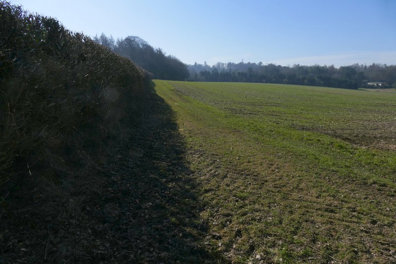
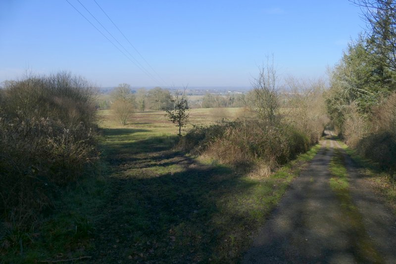
I parked in the car park at West Wycombe (grid reference SU 826947), and started walking at roughly 10:15am. From the entrance to the car park, I turned right towards West Wycombe and then turned right again to follow the A40 out of the village. After 3-400 yards I turned left into Toweridge Lane - there was some sort of event going on here, with lots of white trailers parked in the corner of a field and a steady number of cars joining them. I followed the lane steadily uphill towards a wood (coming at the start of a walk like this, this section always gets me puffing and panting). The lane continued uphill through the wood, then at the top of the slope it turned left and became a track (another track went right here). After two or three hundred yards a footpath went right (starting immediately before a cottage on that side), soon following a hedgerow on my left with an arable field on my right.
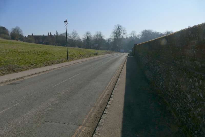
The road from the car park at West Wycombe
The A40 heading out of West Wycombe (towards Oxford)
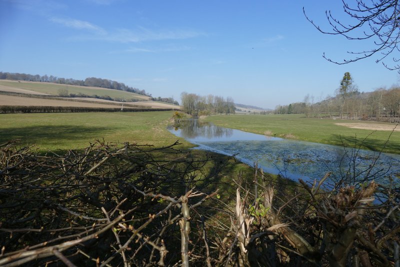
The river Wye at West Wycombe
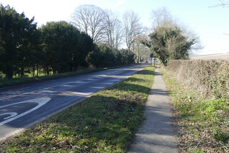
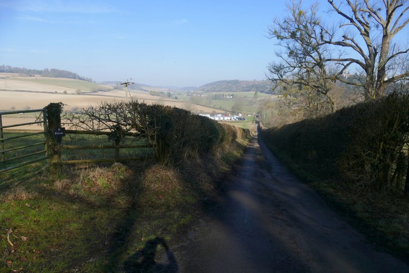
Toweridge Lane
View back, from near Towerage
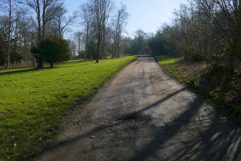
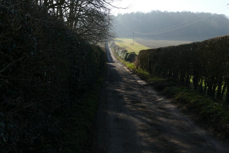
The drive after I turned left in Towerage
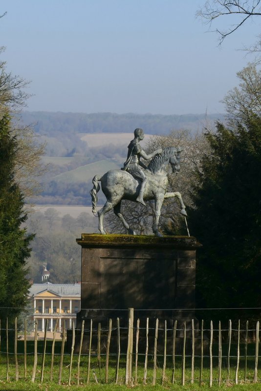
Equestrian statue, Towerage
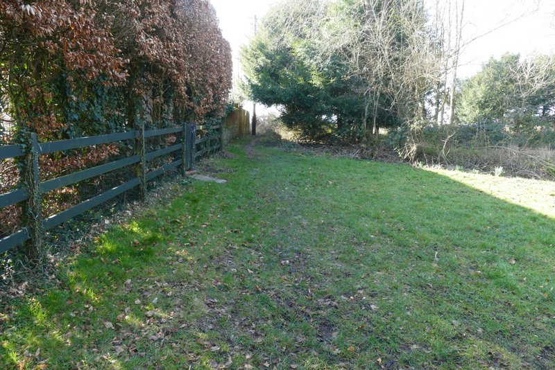
The start of the footpath going south from Towerage
The footpath going south from Towerage
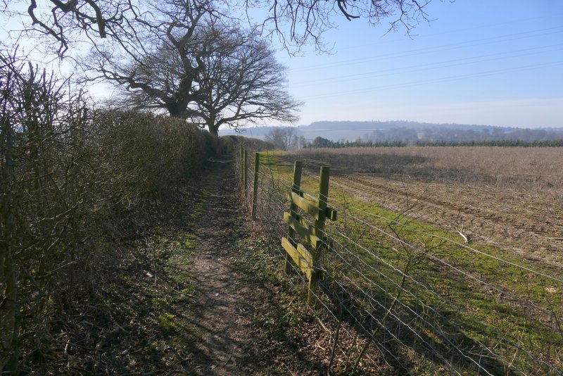
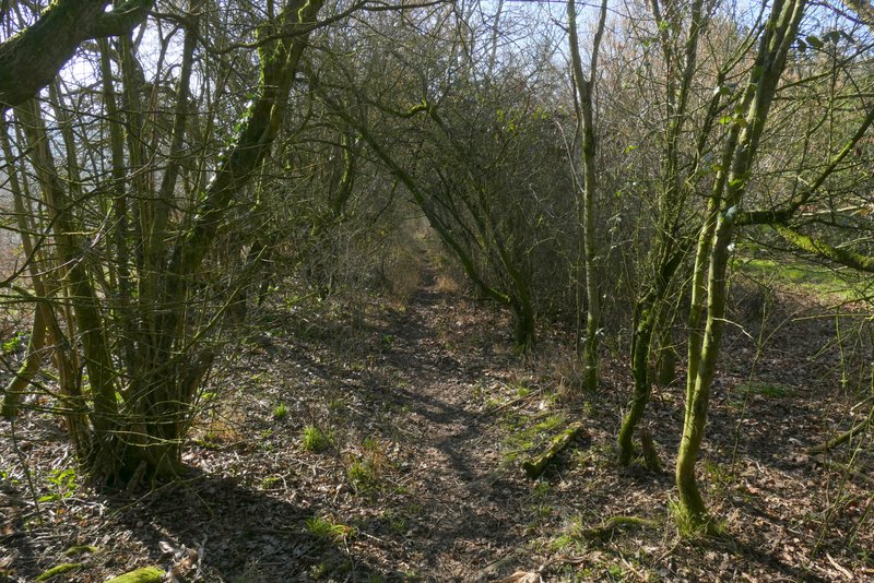
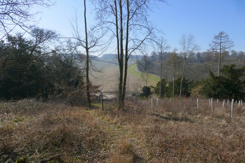
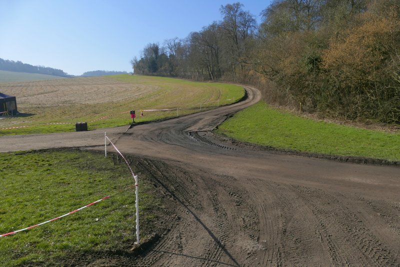
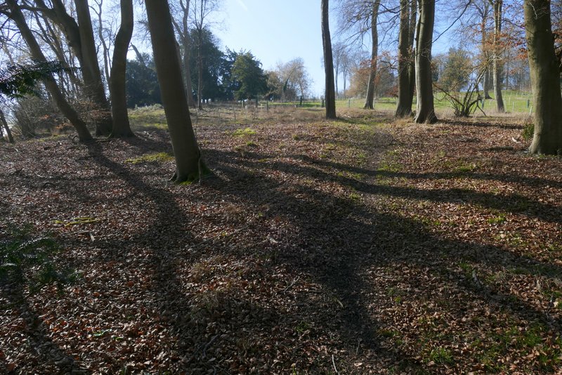
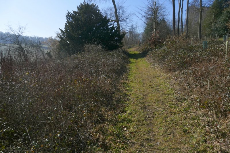
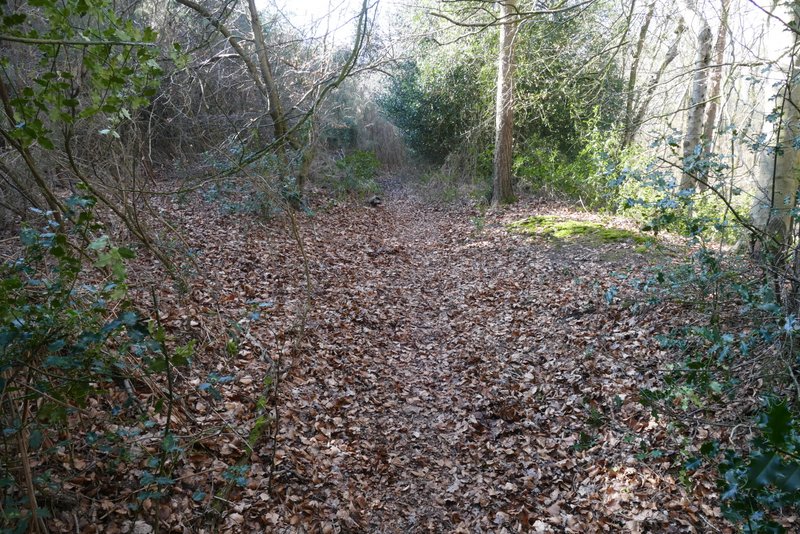
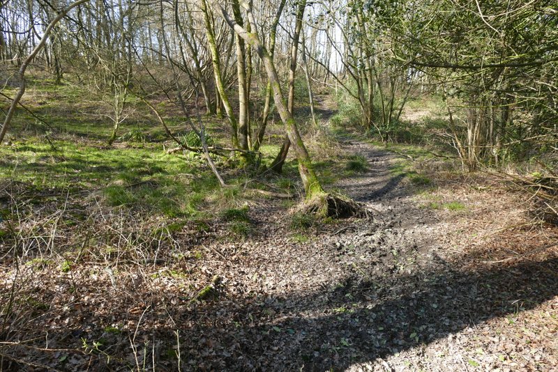
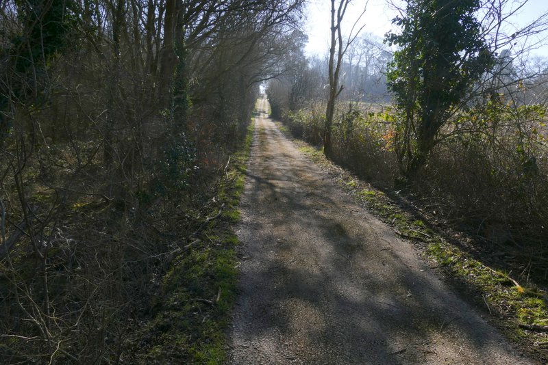
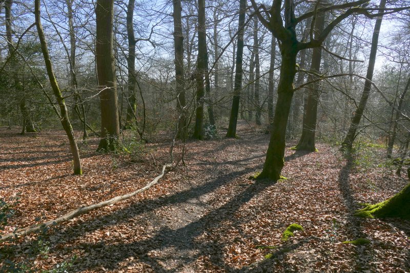
The path then dropped downhill through a wood, and continued downhill along a track, Where this turned right, the path went straight on through a meadow of long grass. Near the valley bottom (where some sort of construction/maintenance work was going on), the path enters a wood, running close to the edge of the wood on the left. On emerging at a corner of the wood, it joins a bridleway going straight on along a track which soon reaches Fryers Farm on the right. Here the track goes left, but I went straight on along a footpath through a paddock (where a lot of construction vehicles were parked), following a hedge on my right and then turning right when the hedge did so. Over a stile, I turned left along the other side of a hedge, and further on passed Sandage Wood to reach a minor road.
The footpath going south from Towerage
The footpath going south from Towerage
The footpath going south from Towerage, in the valley bottom
The footpath going south from Towerage
The footpath going south from Towerage
The paddock near Fryers Farm, after I turned right
The path (after going over a stile and turning left) that passes Sandage Wood
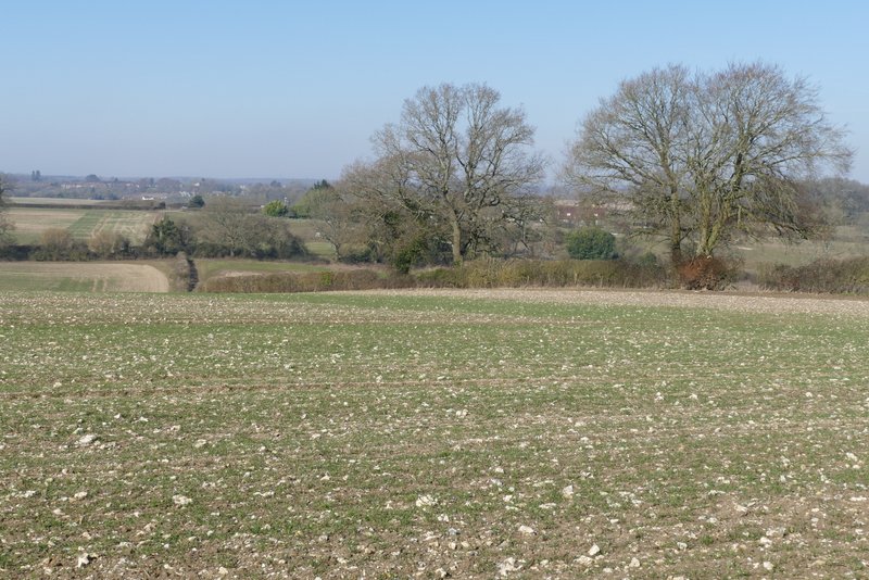
Looking right (west) towards Wheeler End
I turned right along the road, immediately crossing the M40 motorway, then took a footpath starting a few yards down a drive on my left. This ran through part of Widdenton Park Wood, turning right at one point (an unofficial path seemed to continue ahead here). On reaching the other side of the wood, I turned left and followed a drive to a reservoir surrounded by a tall green fence. A footpath followed the fence to the right of the reservoir, and followed the fence as it turned left behind the reservoir. At the next corner of the fence, the path turned right to continue south eastwards through another part of Widdenton Park Wood.
Near the start of the first path in Widdenton Park Wood
Near the end of the first path in Widdenton Park Wood
The drive to the reservoir
View back from near the reservoir
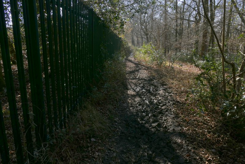
The path continuing to the right of the reservoir
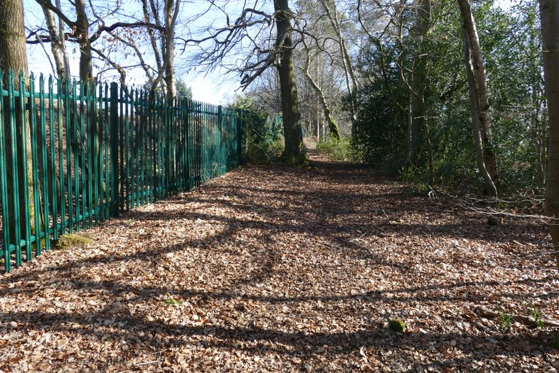
The path continuing behind the reservoir
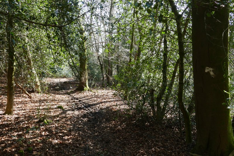
The path continuing southeast through Widdenton Park Wood
The path continuing southeast through Widdenton Park Wood