Pete's Walks- Hudnall, Ashridge, Dagnall (page 1 of 3)
If you are considering walking this route yourself, please see my disclaimer. You may also like to see these notes about the maps and GPX files.
Google map of the walkDownload GPX file of the walk
I did this roughly 8.9 mile circular walk on Tuesday, 18th March 2025. It was another repeat of a walk I first did in April 2013, with most of it on paths I'm familiar with from many other local walks, the only exception being a short up and down section on Hudnall Common at the end.
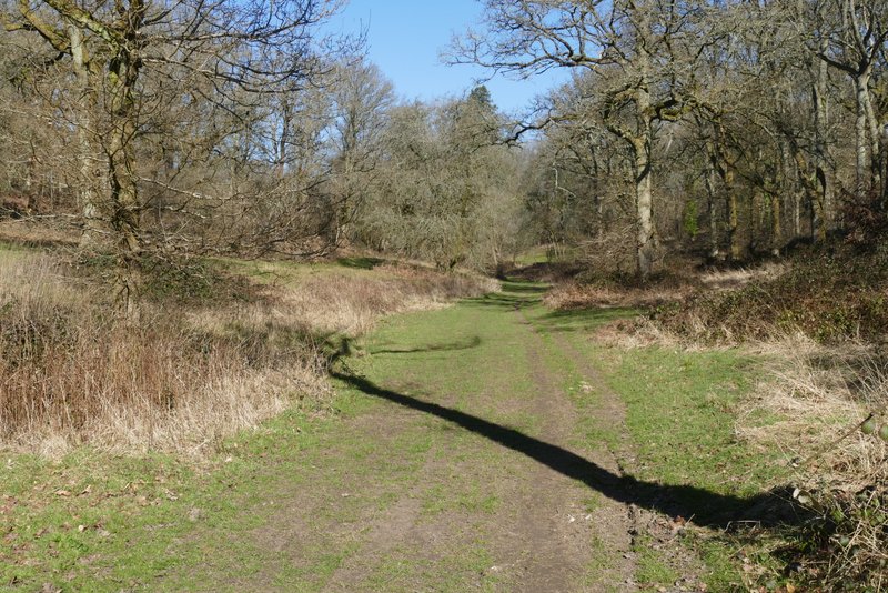
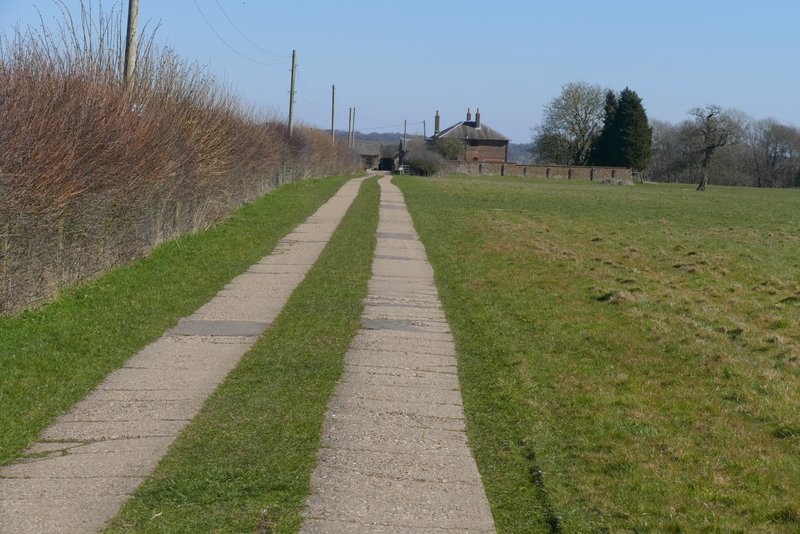
I started walking about 9.45am. From the small car park on Hudnall Common (grid reference TL 006127), I followed the edge of the common beside the lane southeast-wards (in the direction of Great Gaddesden) for about a hundred yards before turning right onto a bridleway, heading through a wood. Beyond the wood the bridleway continued round the edge of some pastures, between a fence and a hedge. It turned left and then right, to reach a stable yard. The bridleway was well signposted here, turning right and then almost immediately left down a short alley to reach a courtyard that opened onto the road that runs through Little Gaddesden.
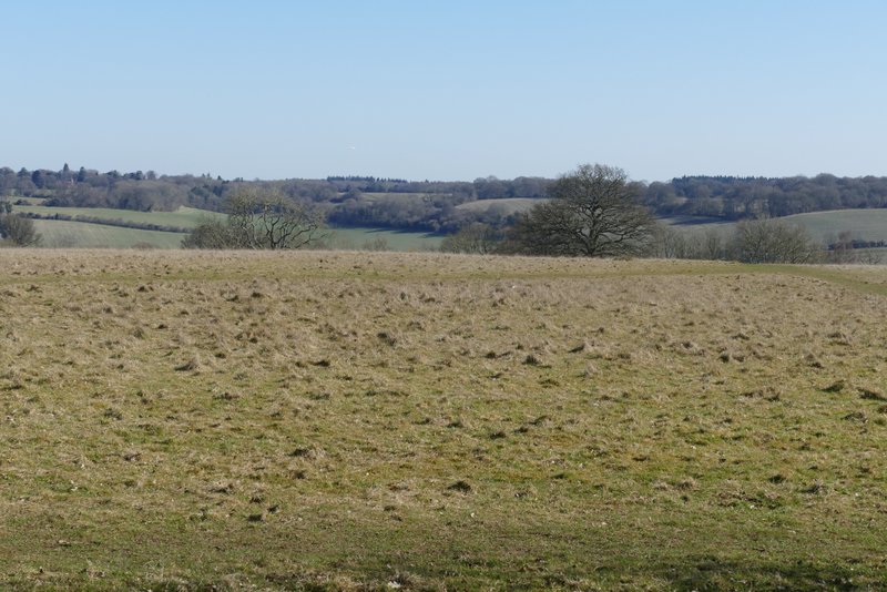
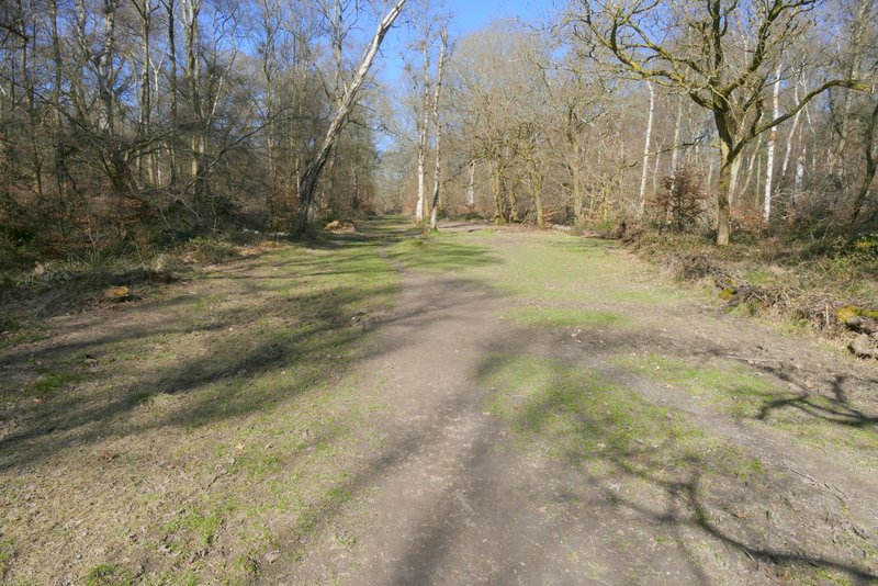
Hudnall Common
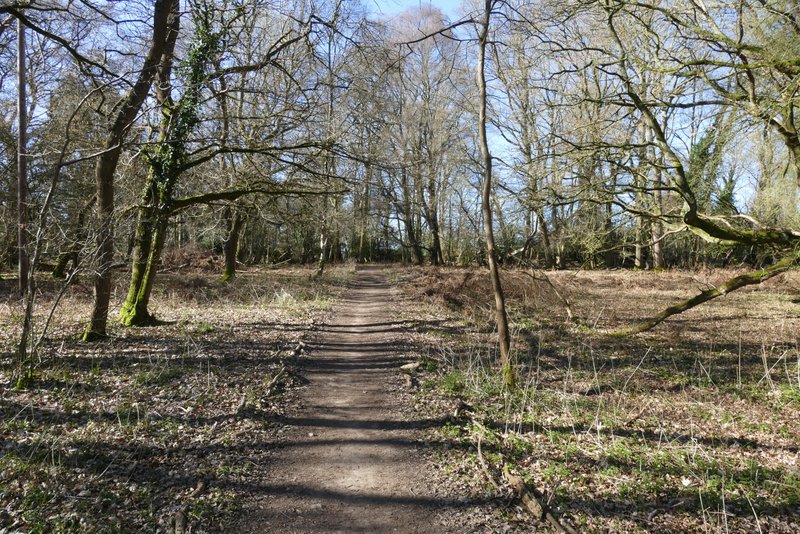
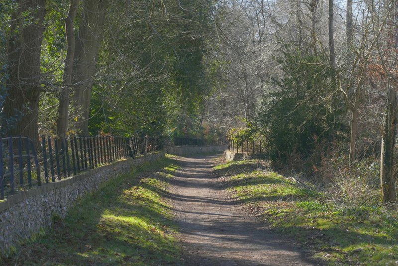
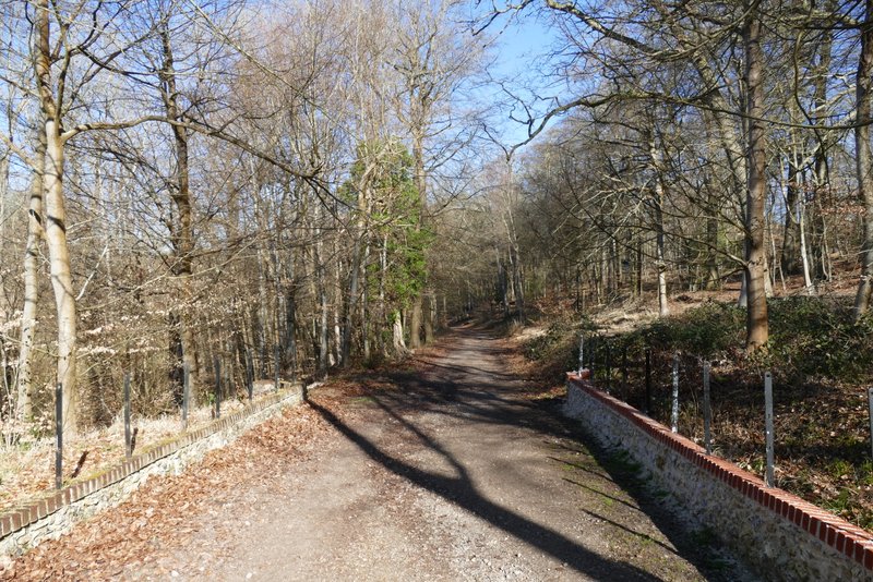
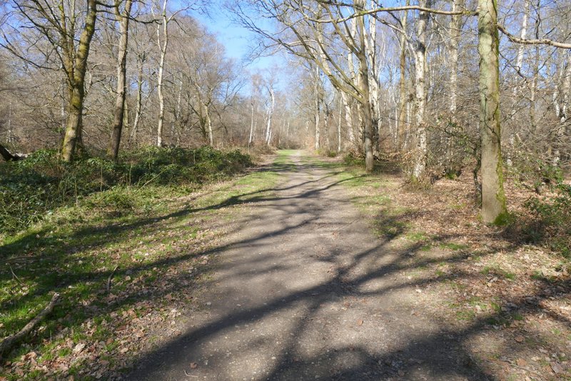
Near the start of the bridleway from Hudnall Common to Little Gaddesden
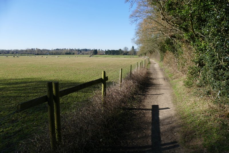
The bridleway from Hudnall to Little Gaddesden
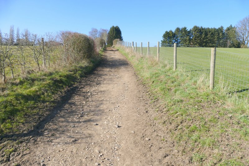
The bridleway from Hudnall to Little Gaddesden, heading towards the stables
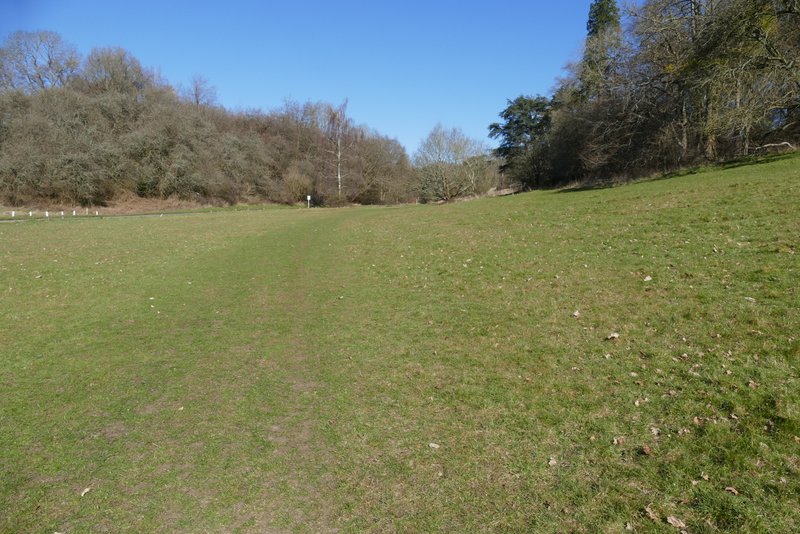
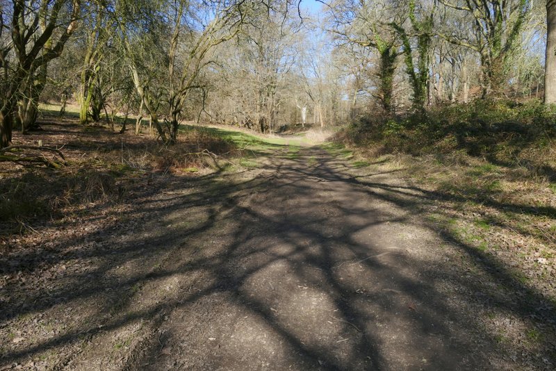
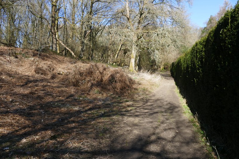
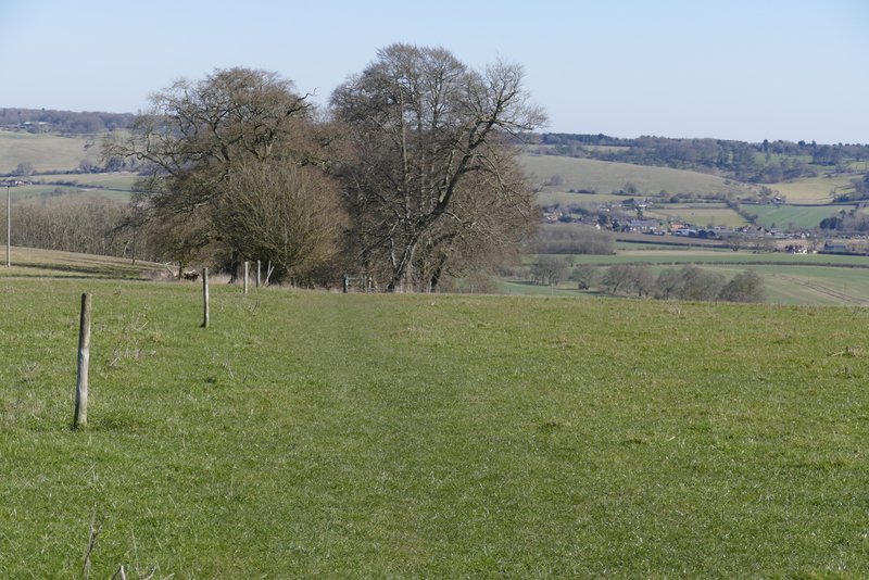
A few yards to the left and across the road, a permissive path or bridleway went down a track descending through trees. This turned to the right (a footpath now ran along it) and continued to the bottom of the slope, where it emerged from the trees in the Golden Valley (close to Ashridge House, which was hidden behind the trees on the other side of this small valley). I turned right, and followed a path along the bottom of the valley - there was a wide stretch of grass here, with wooded slopes either side (this landscape was designed by the famous Lancelot 'Capability' Brown). After a few hundred yards the path curved right and gradually approached a drive to Ashridge House. When it met the drive, I crossed over and took a path a few yards further on (just past a small parking area) - this is not shown as a public path on the OS map, but is part of the Ashridge Estate Boundary Trail. This continued pleasantly through the trees, gradually moving further away from the drive. It then passed some garden boundaries on the right. I went straight on at a path crossroads, the path then soon continuing between garden fences and part of the Ashridge golf course on my left.
The permissive bridleway (I think) leading down from Little Gaddesden to the Golden Valley
The permissive bridleway leading down from Little Gaddesden to the Golden Valley
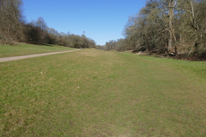
The Golden Valley - Ashridge House is a short distance away in the trees on the left.
The Golden Valley, approaching a drive to Ashridge House
The permissive path starting across the drive
The permissive path starting across the drive
The permissive path starting across the drive
The same path continuing beside Ashridge Golf Course
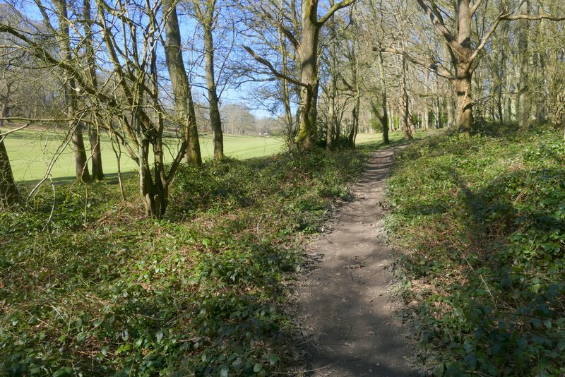
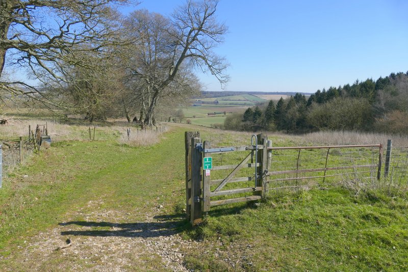
I crossed the Ringshall-Northchurch road (the car park here could be used an alternative start point for this walk) and continued on a long and very pleasant path through the woods of Ashridge. Initially I was on a public footpath, but this went right at the second path crossing I came to. I just carried straight on along the broad grassy track (this is all an Open Access area). It was a familiar route for me anyway, one I've walked many times before, but as usual it was delightful to be among the trees of Ashridge. I did pass a large number of trees that had been felled however, possibly something to do with controlling the issue of 'Ash dieback (there had been a sign about this where I crossed the road in Little Gaddesden), and the path was badly cut up by the vehicles that had been involved. Eventually the path started to near a road over to my right (this was about three-quarters of a mile`after I had crossed the Ringshall-Northchurch road). At a waymark post I went a few yards right to the road (if I'd missed this turn, the path ahead would soon turn left).
The path across the Ringshall-Northchurch road, in the woods of Ashridge
Continuing northwest along the same path

Continuing northwest along the same path
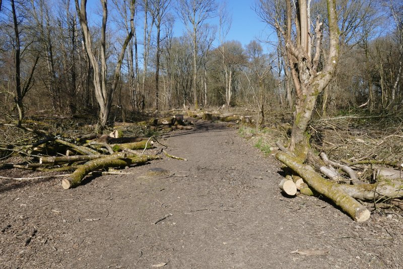
Continuing northwest along the same path - as you can see, a lot of trees had been felled here
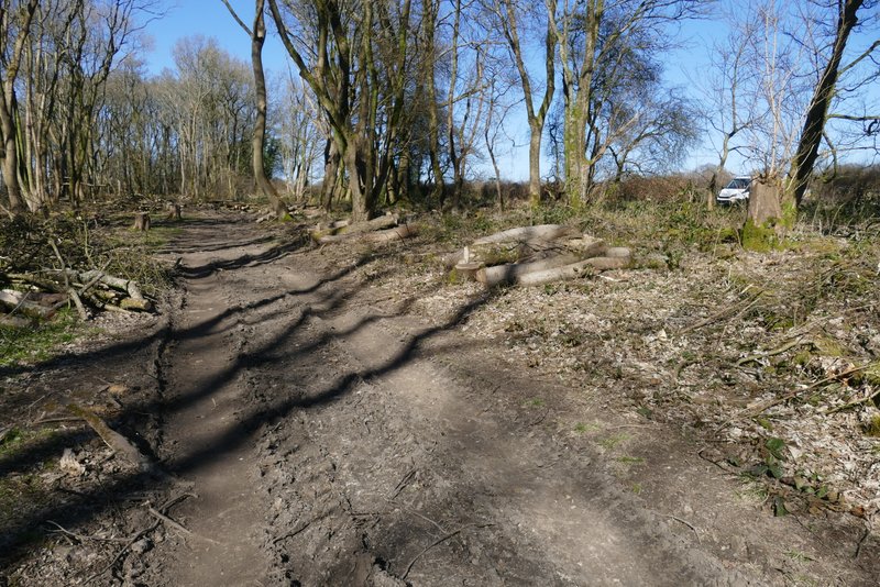
Continuing northwest along the same path - the white van is at the start of the drive to Ward's Hurst Farm
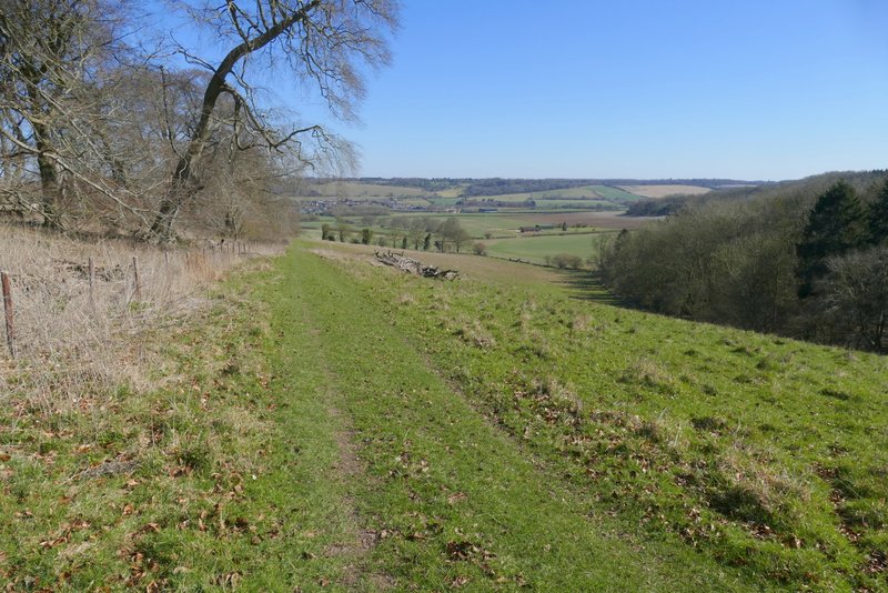
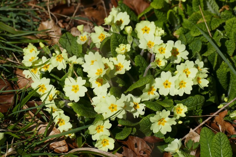
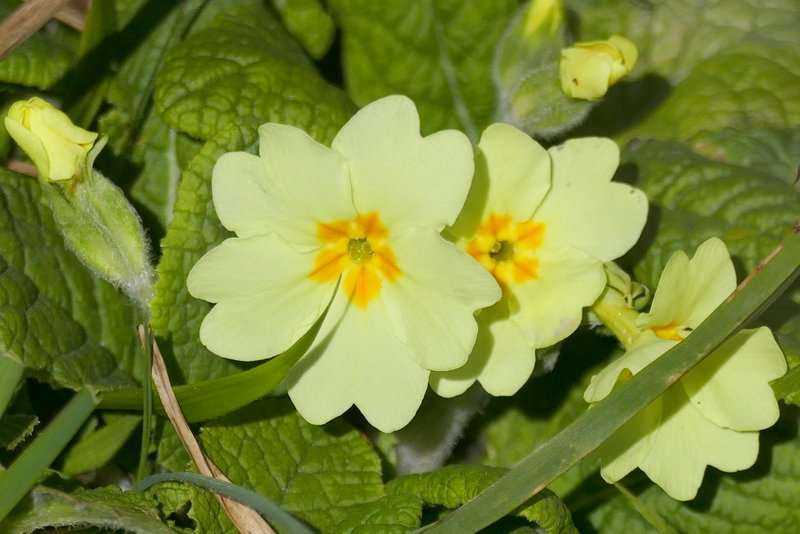
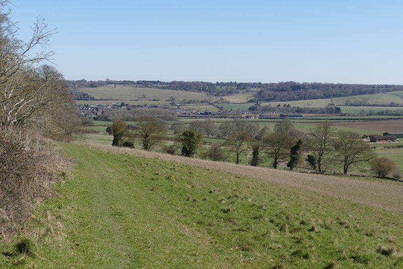
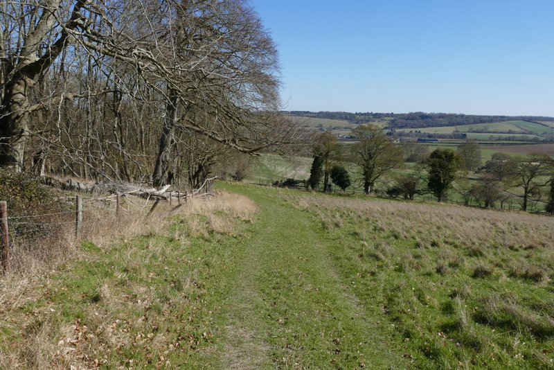
Across the road I continued down the long drive to Ward's Hurst Farm. I turned left as soon as I reached the farmyard, then right to walk through the farmyard in the same direction as I'd been on along the drive. I went straight on where another path crossed in the farmyard, and followed the path gradually downhill through empty sheep pastures, soon with attractive beech trees on an embankment on my left. I looked out for Primroses on this embankment as I remembered see them here before, and soon saw quite a number of them. This path one of my favourite local paths (at least going this way), because of the fine views ahead to the Dunstable and Whipsnade Downs and what becomes the Gade Valley.
The drive to Ward's Hurst Farm
The start of the path from Ward's Hurst Farm to Dagnall
The path from Ward's Hurst Farm to Dagnall
The path from Ward's Hurst Farm to Dagnall
The path from Ward's Hurst Farm to Dagnall
The path from Ward's Hurst Farm to Dagnall